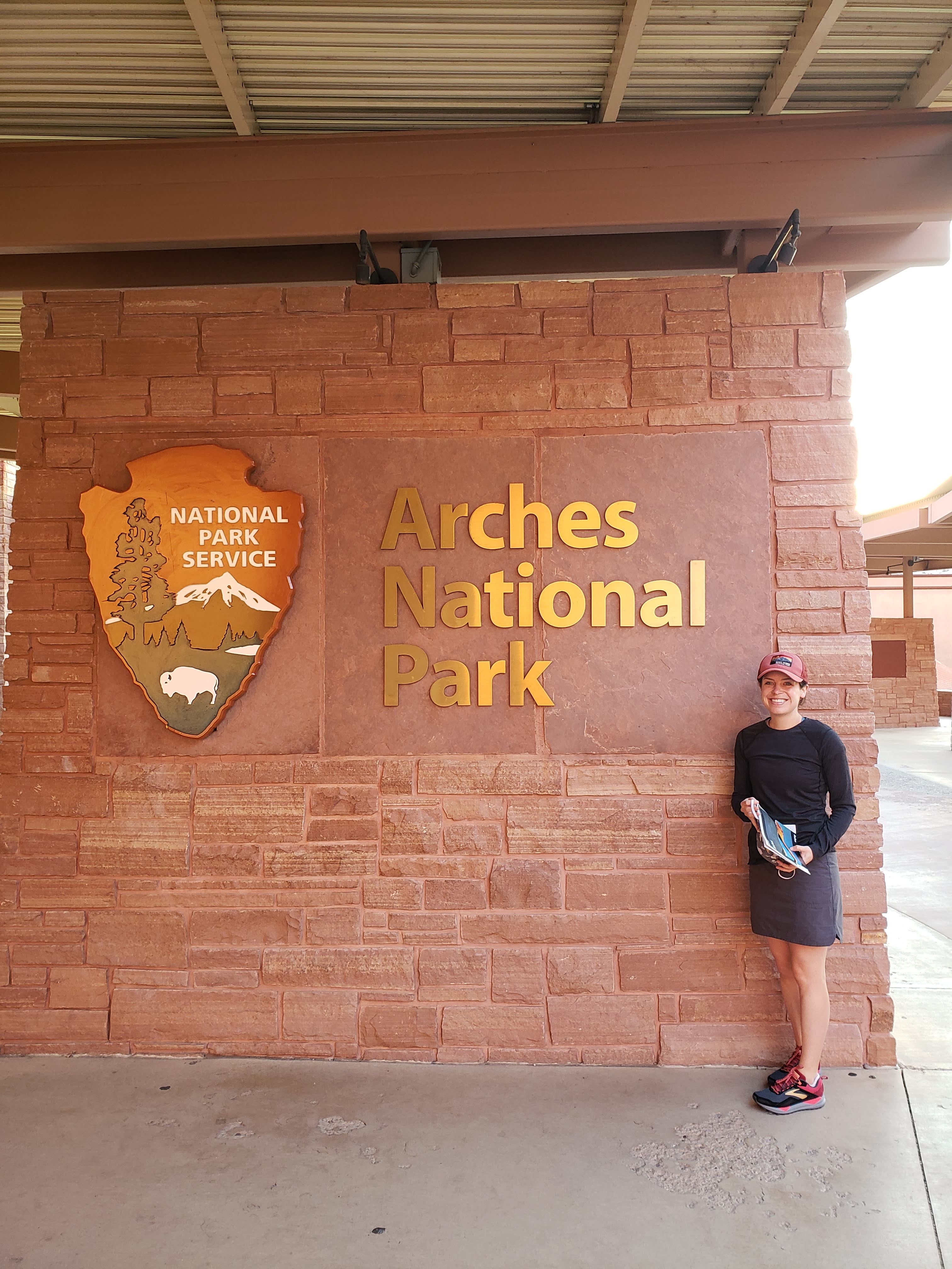
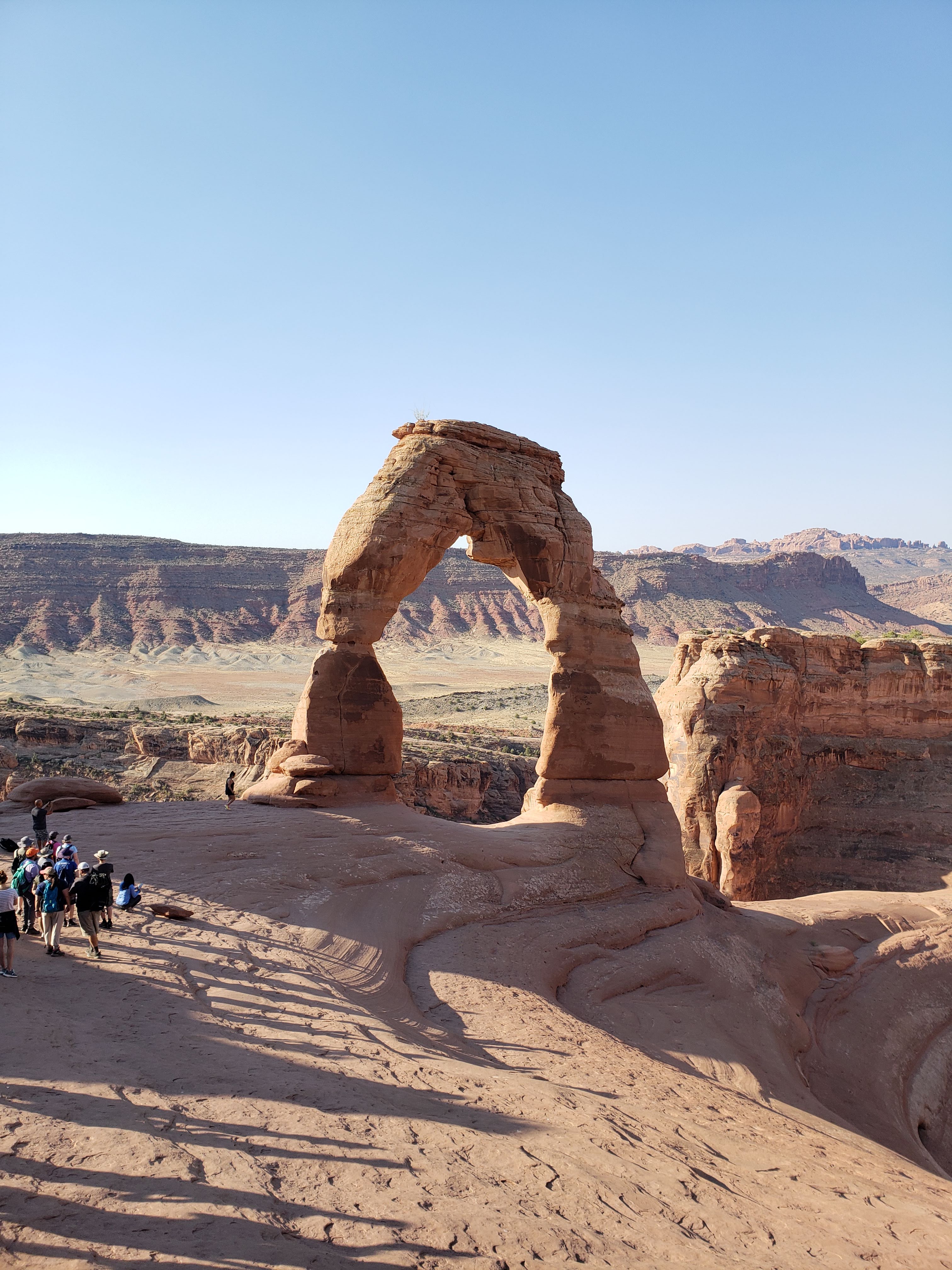
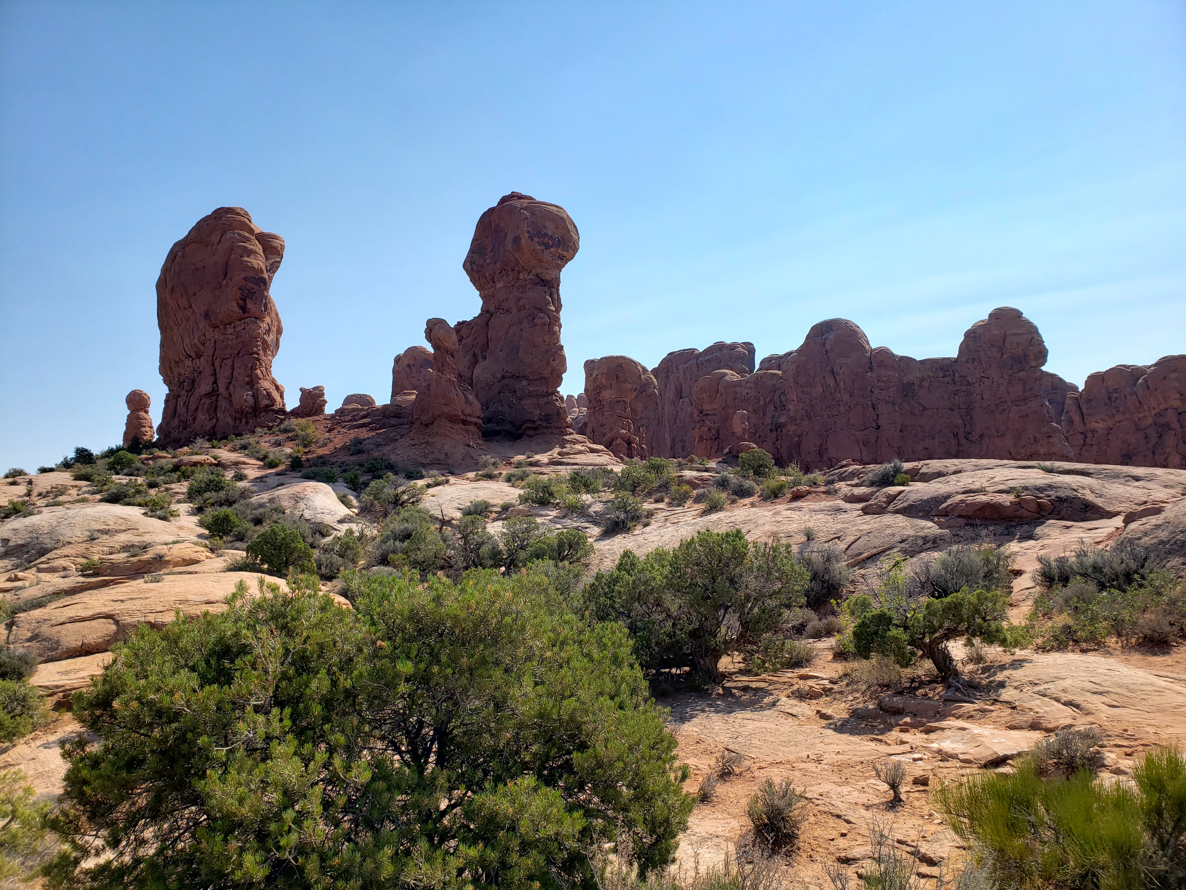
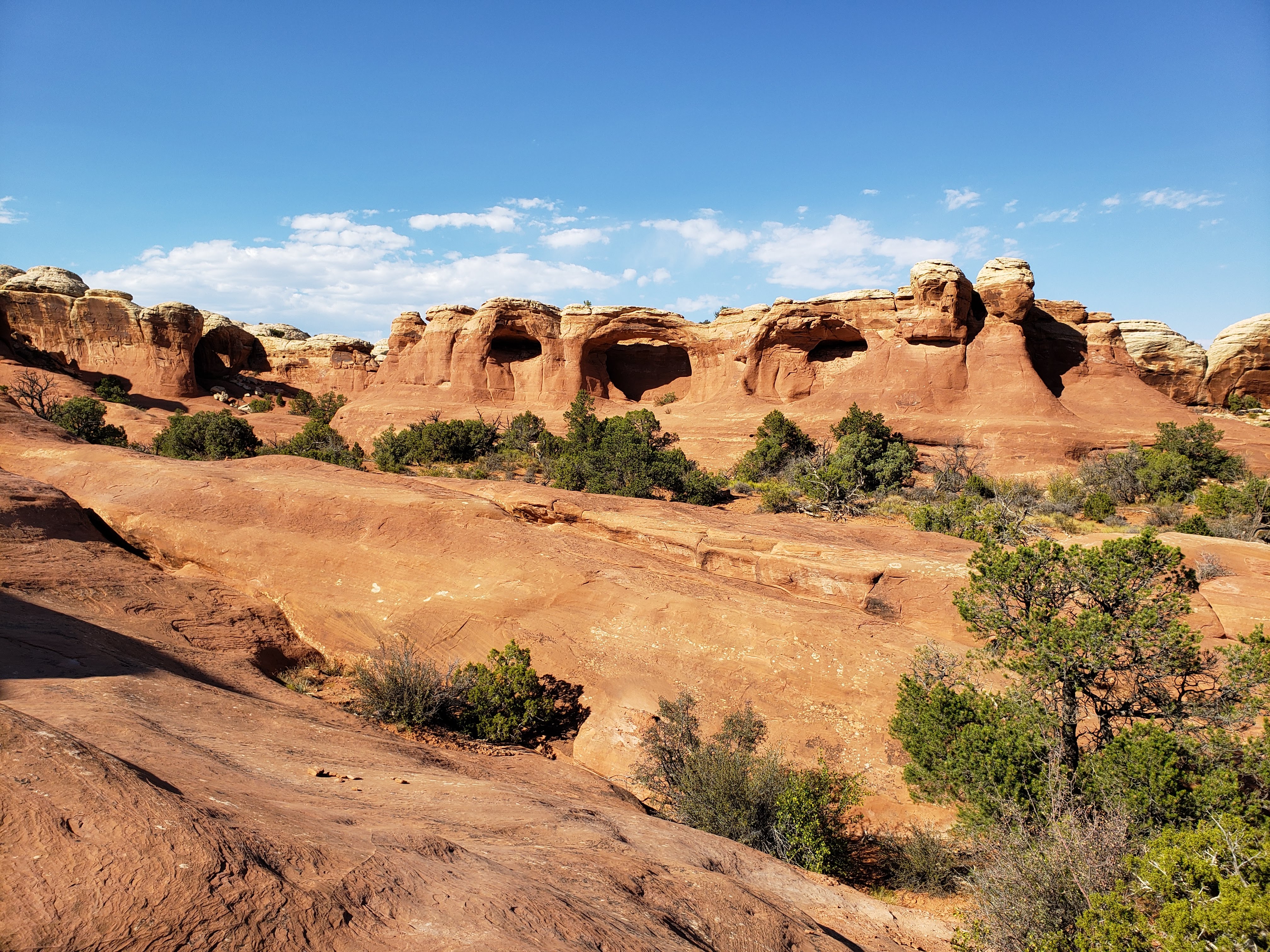
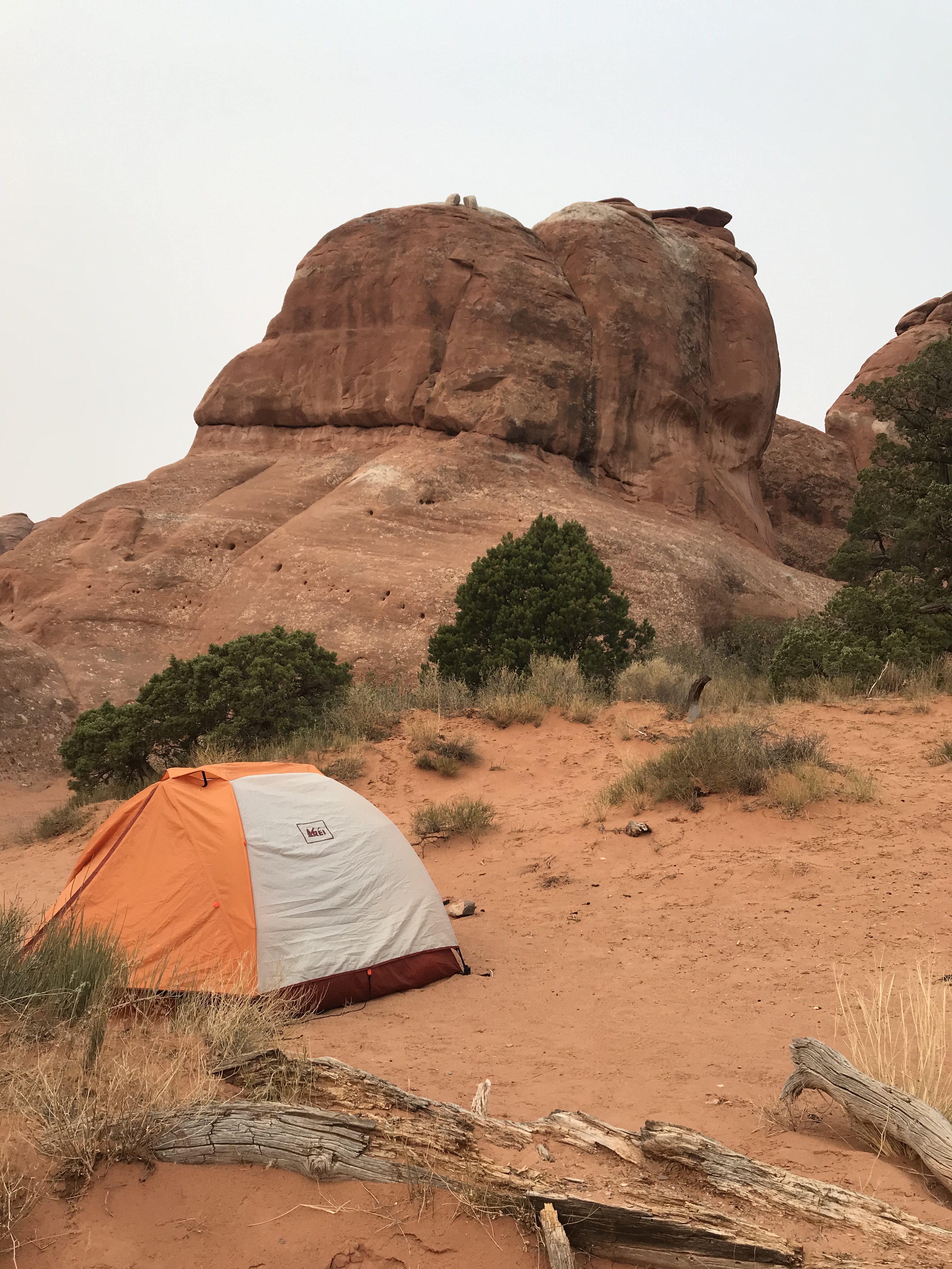
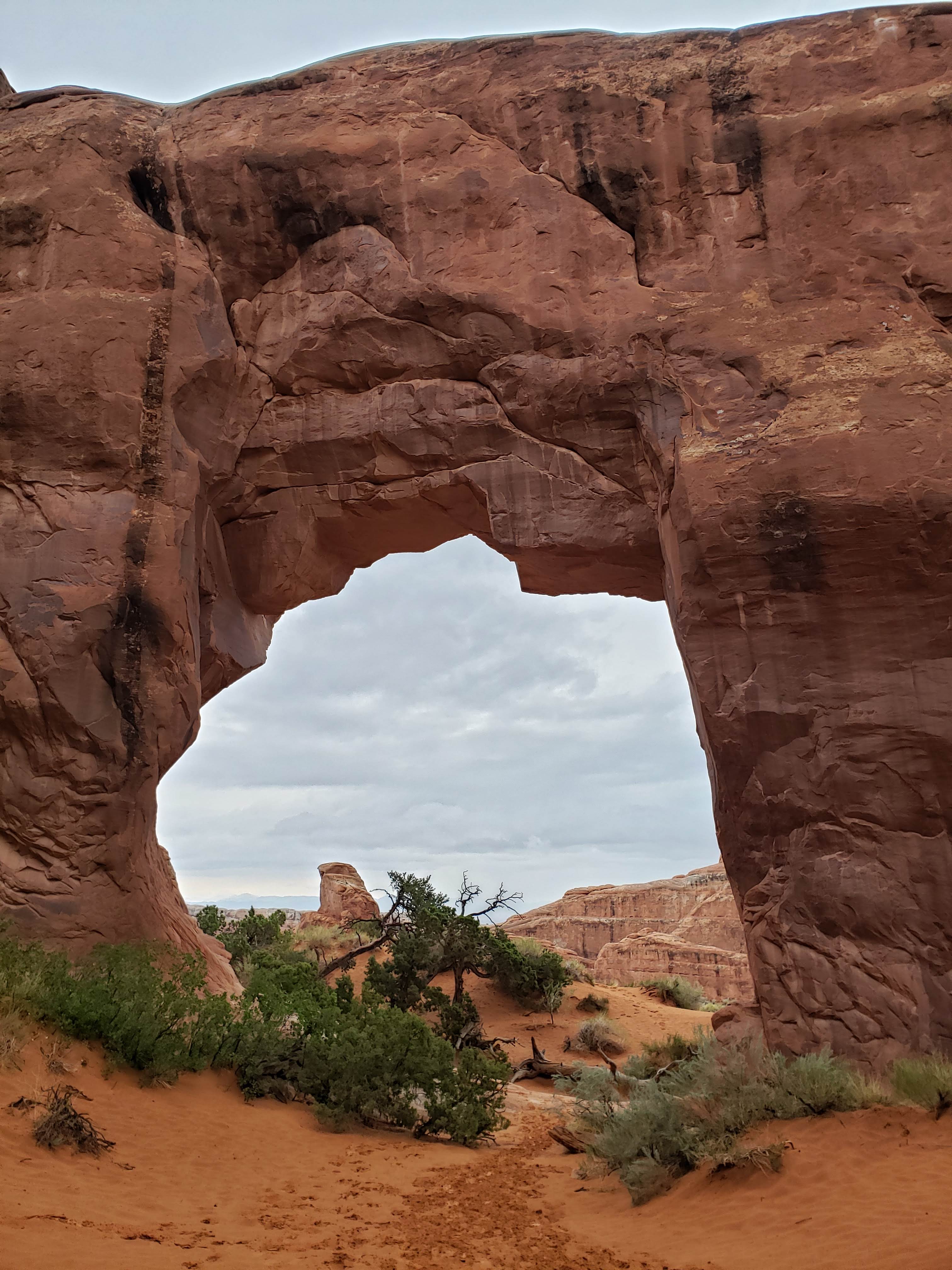
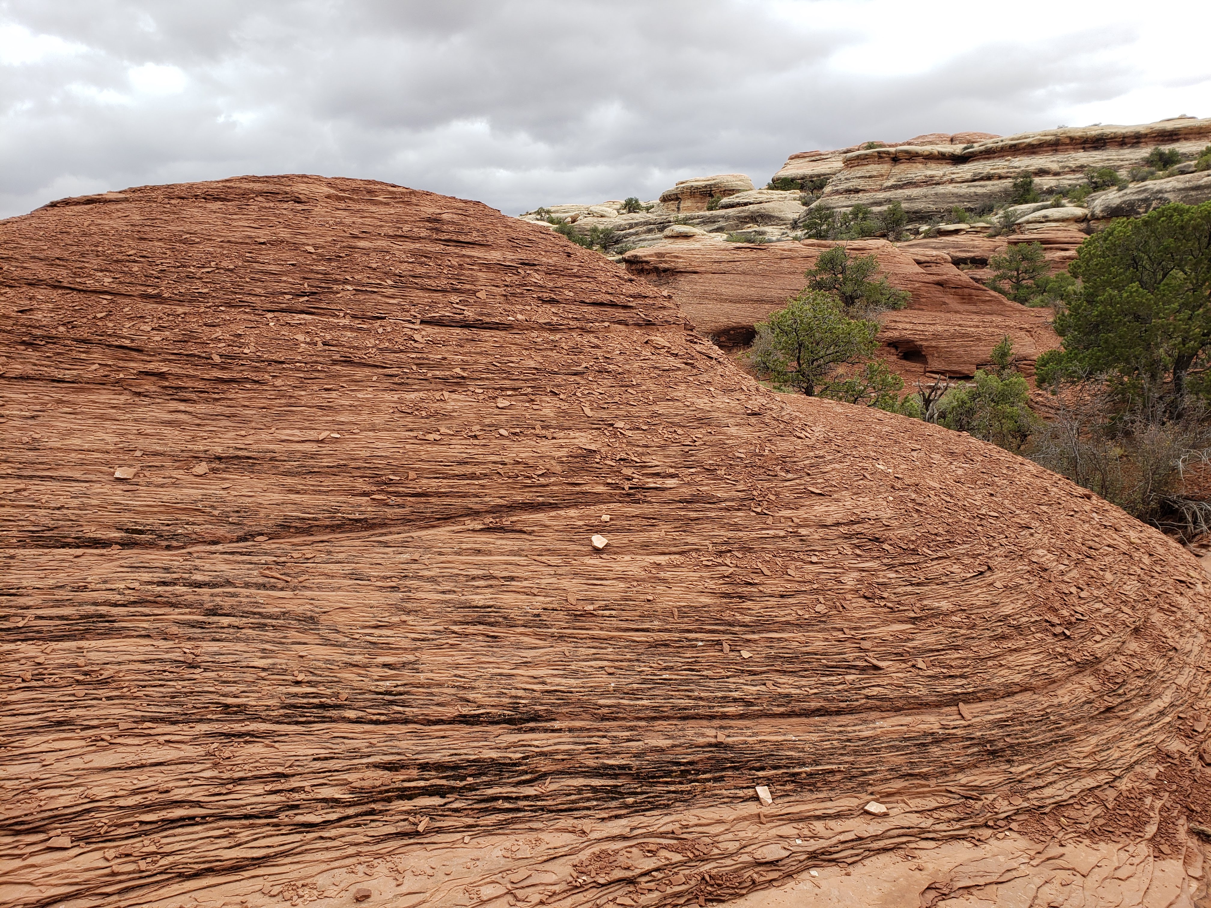
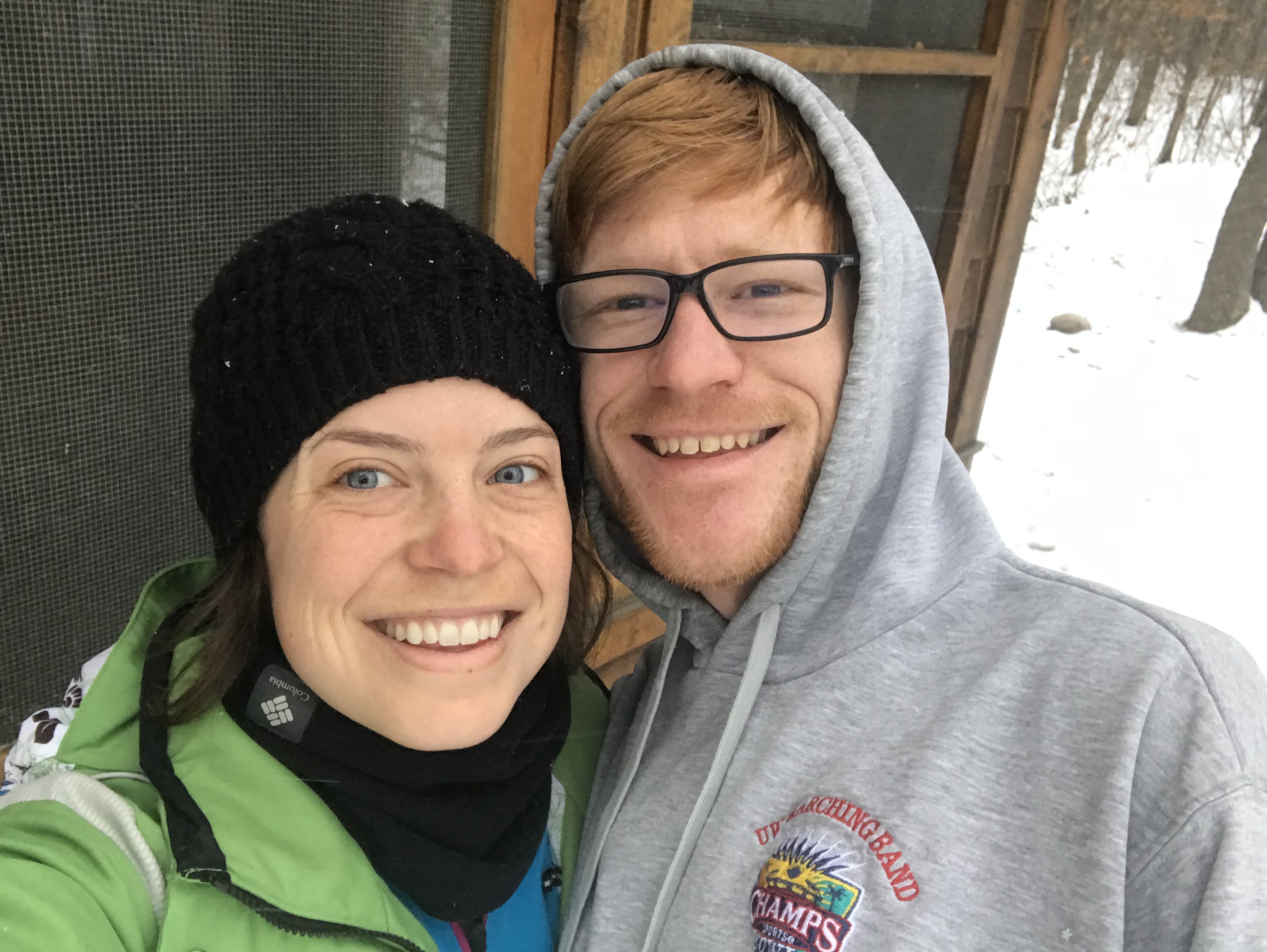
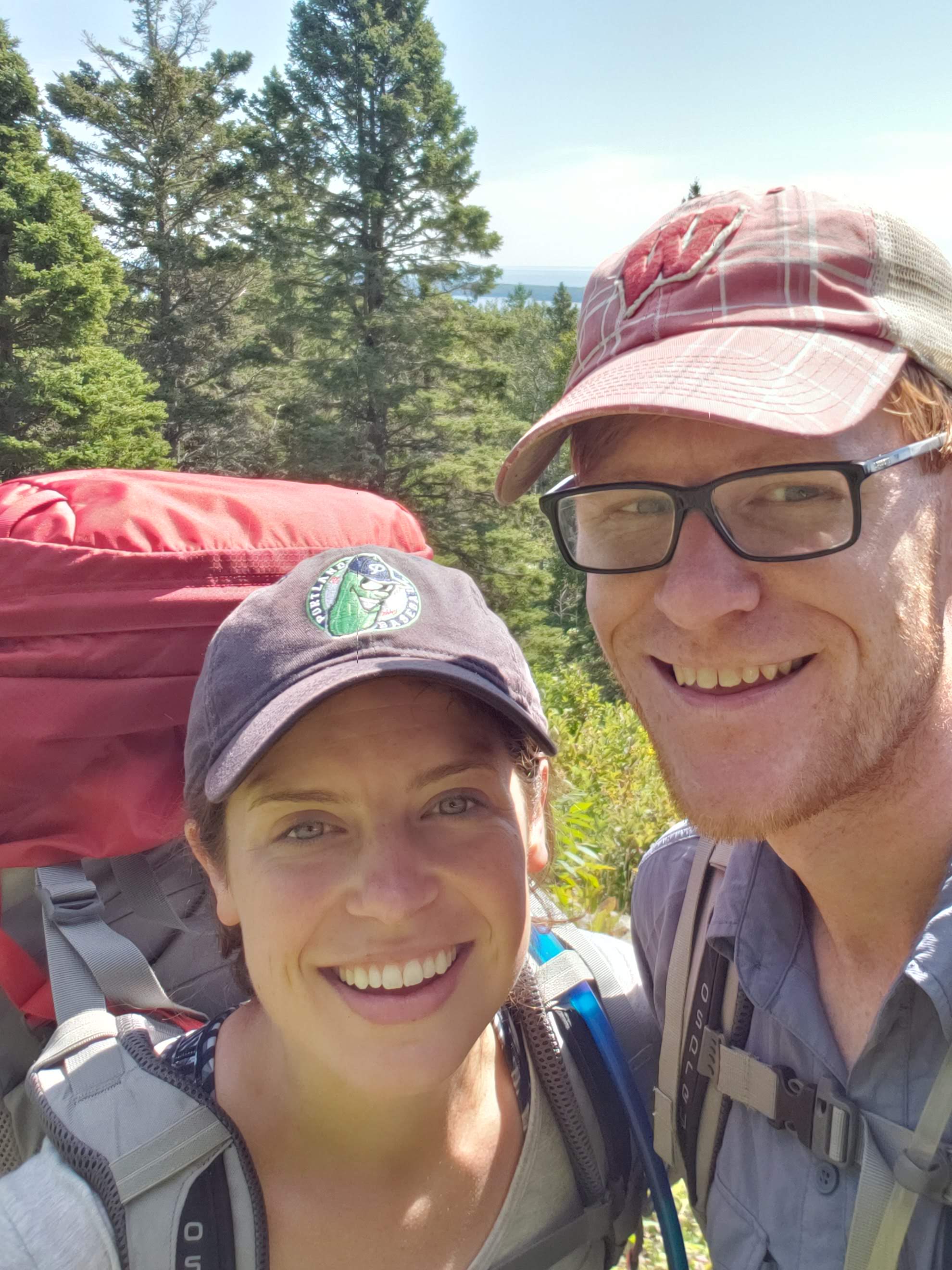
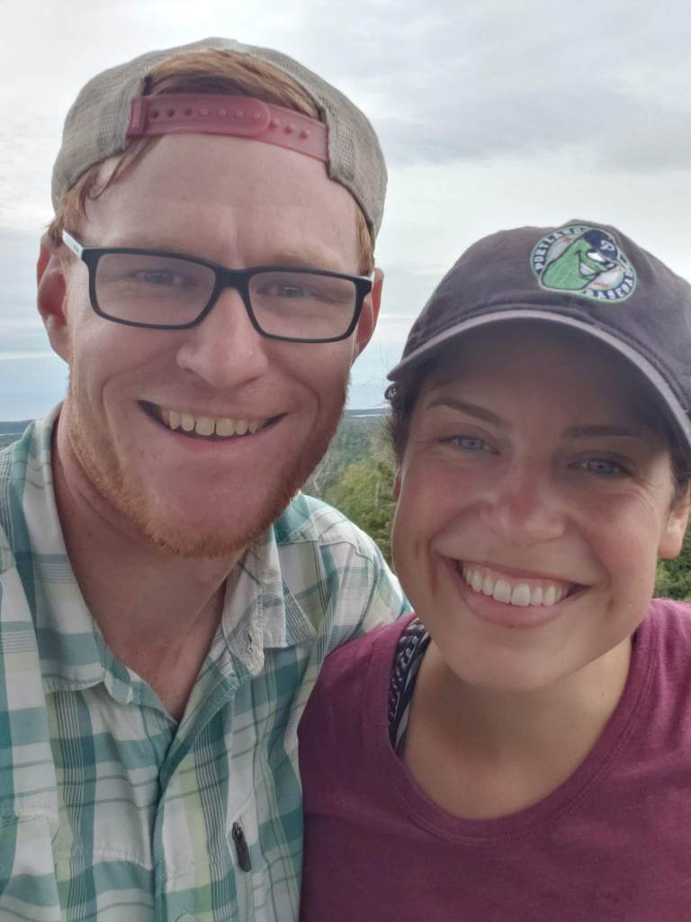
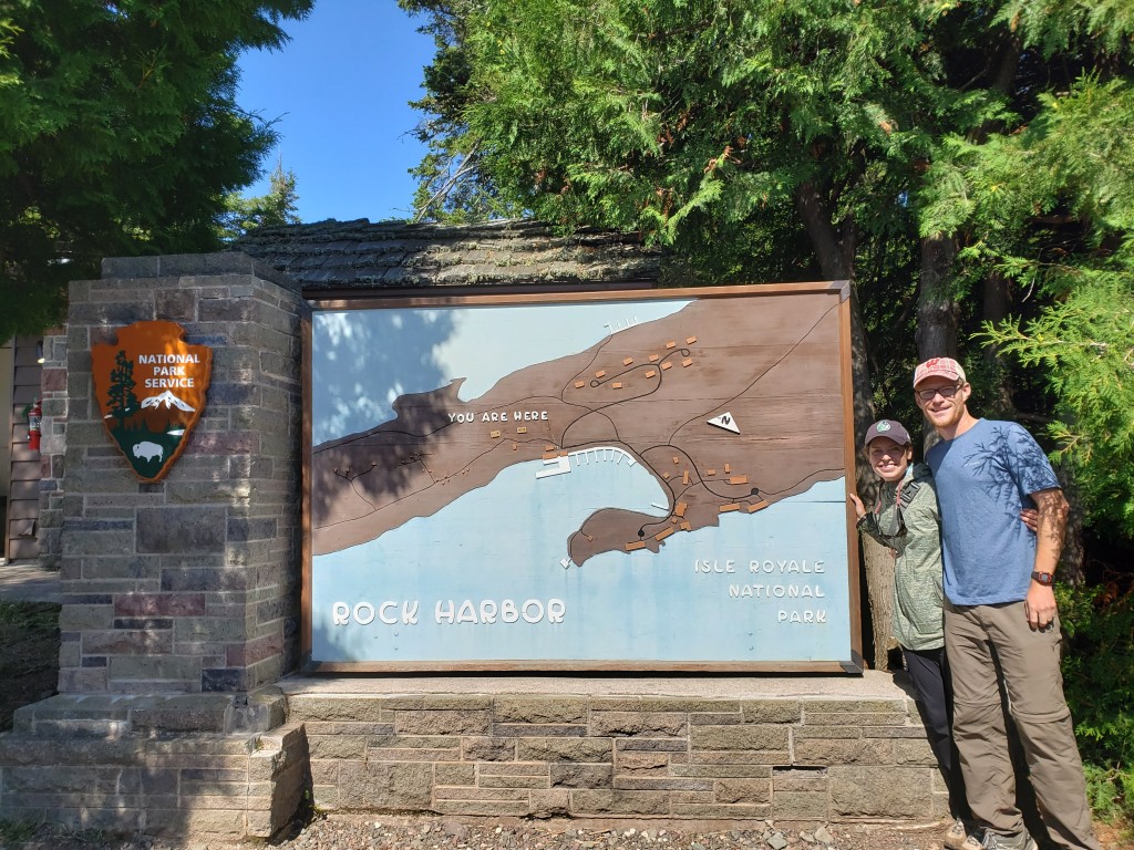
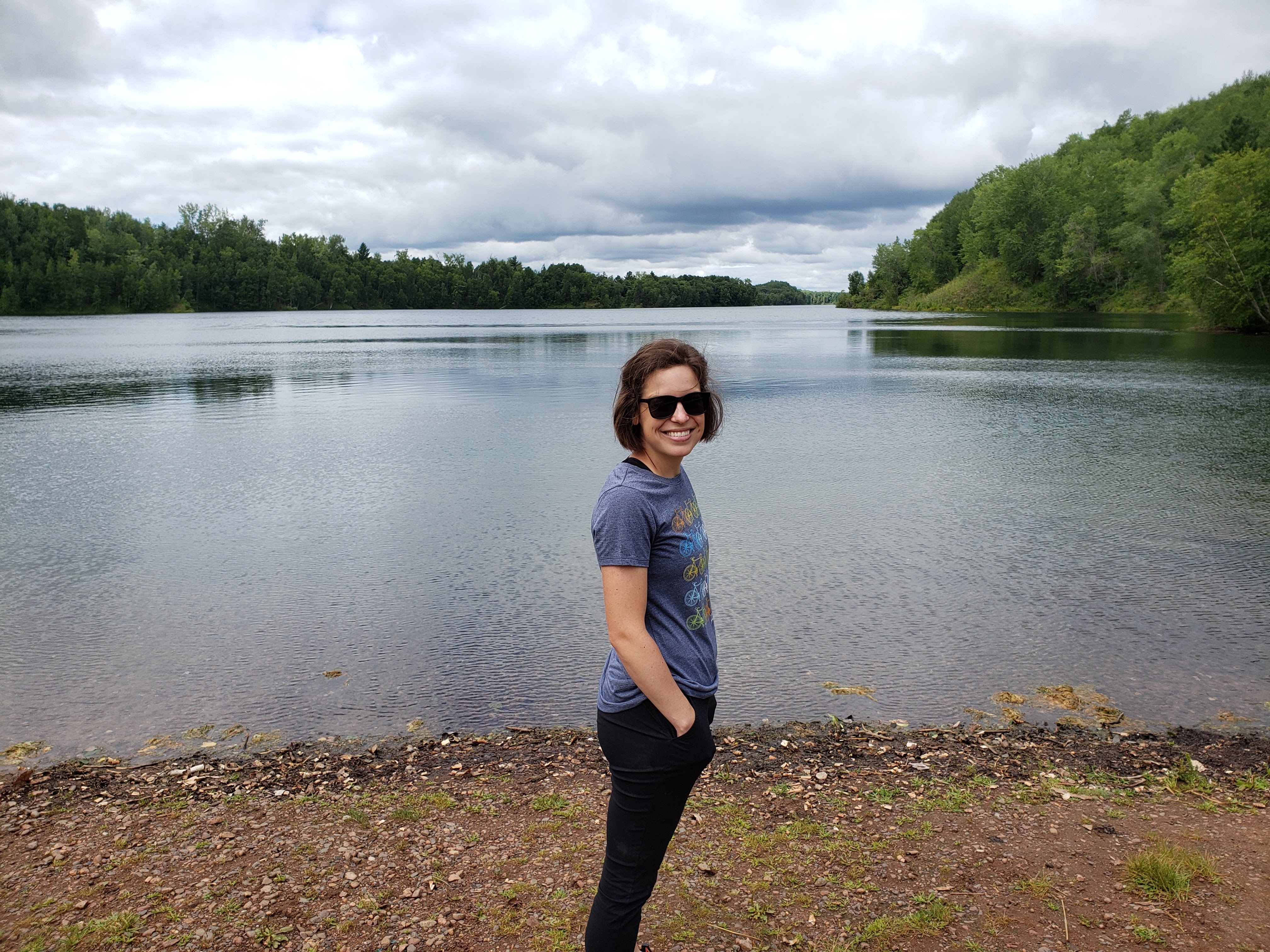
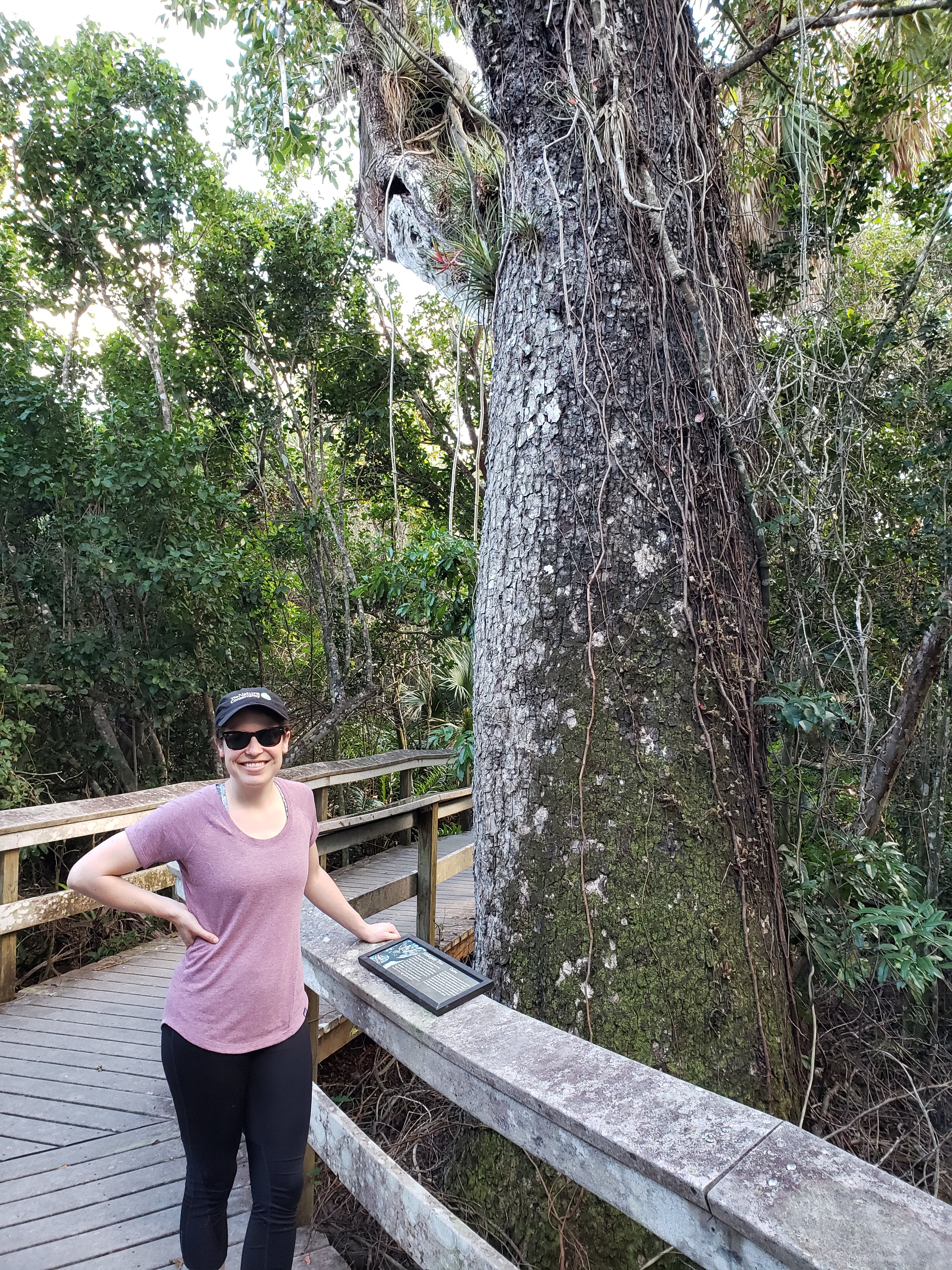
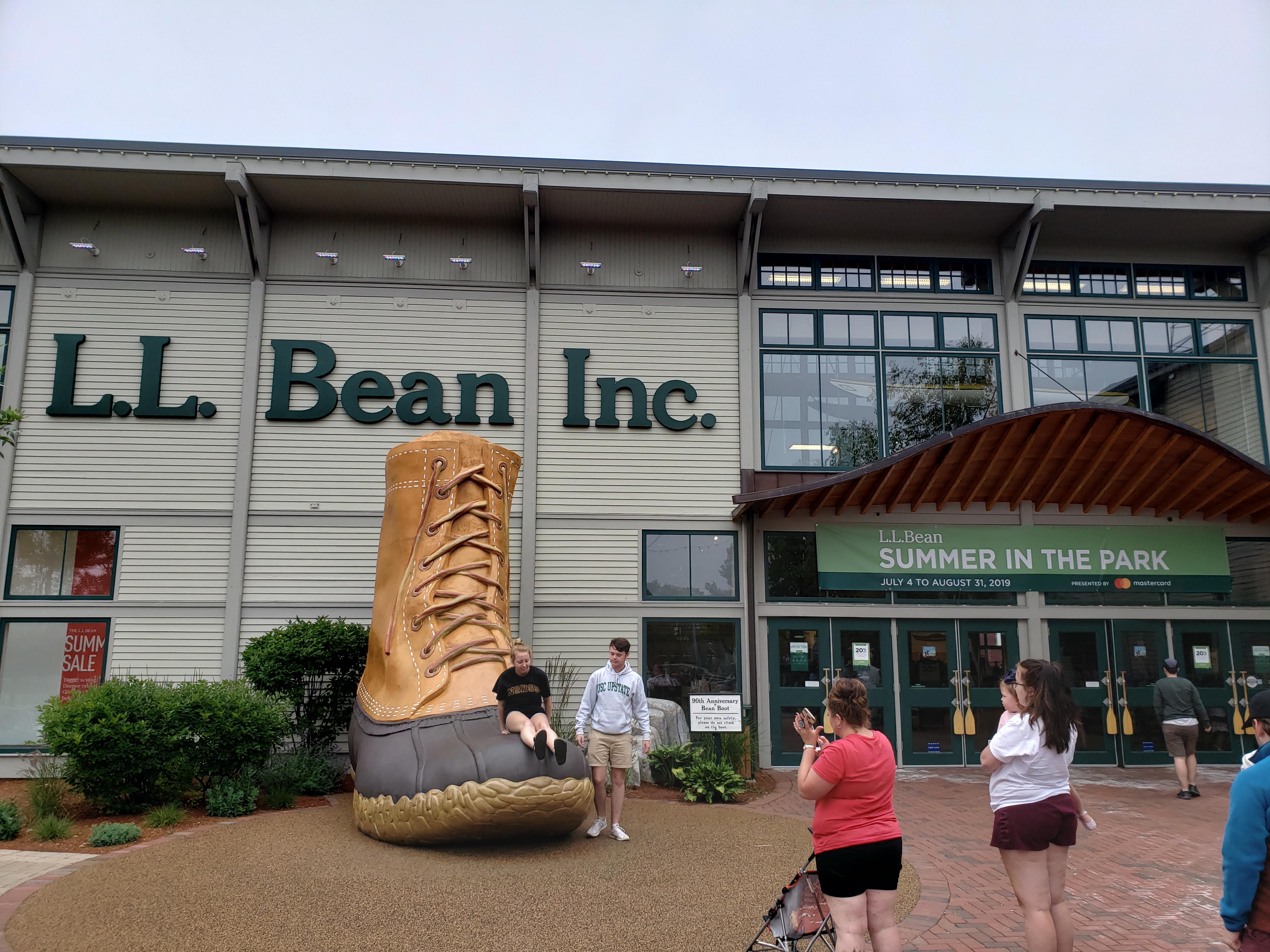
Leah and I decided to go on a bigger Labor Day trip this time around. It was the fall of 2020 and many of our travel plans seemed up in the air due to the global pandemic. Neither of us had ever spent any time in Utah and “The Big 5” (Arches, Canyonlands, Zion, Bryce Canyon, and Capitol Reef) were on our bucket list. We lucked into a lull in COVID-19 cases which, along with the relative safety of camping and hiking, made the trip seem reasonable. I’ve split the trip into three blog posts. Part 1 covers the first six days which included driving out to Utah, Arches National Park, Canyonlands National Park, and Natural Bridges National Monument. Part 2 covers the next 5 days which included Monument Valley, Zion National Park, and Cedar Breaks National Monument. Part 3 covers the next six days which included Bryce Canyon National Park, Capitol Reef National Park, and the drive back to Minnesota.
Day 7 – Monument Valley and Zion National Park
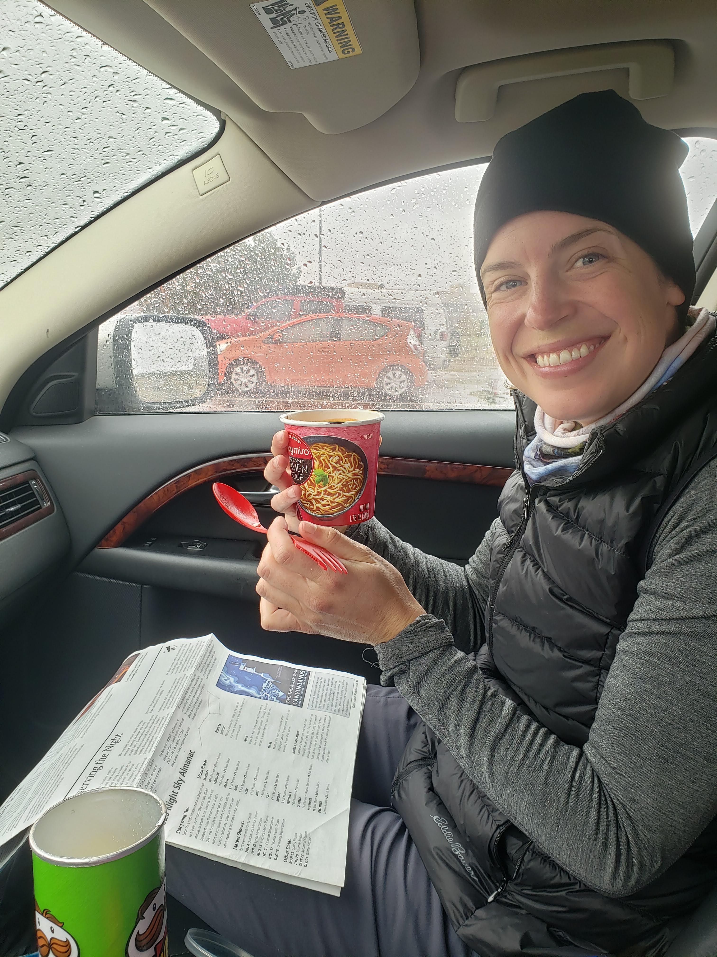
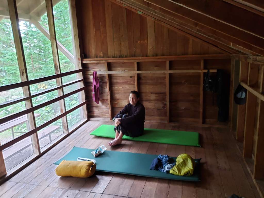
We set an alarm for 6:30 so we could get going on a long day of driving. Leah took a shower in the morning. The campsite being right next to the highway ended up not being an issue for me. I slept really well.

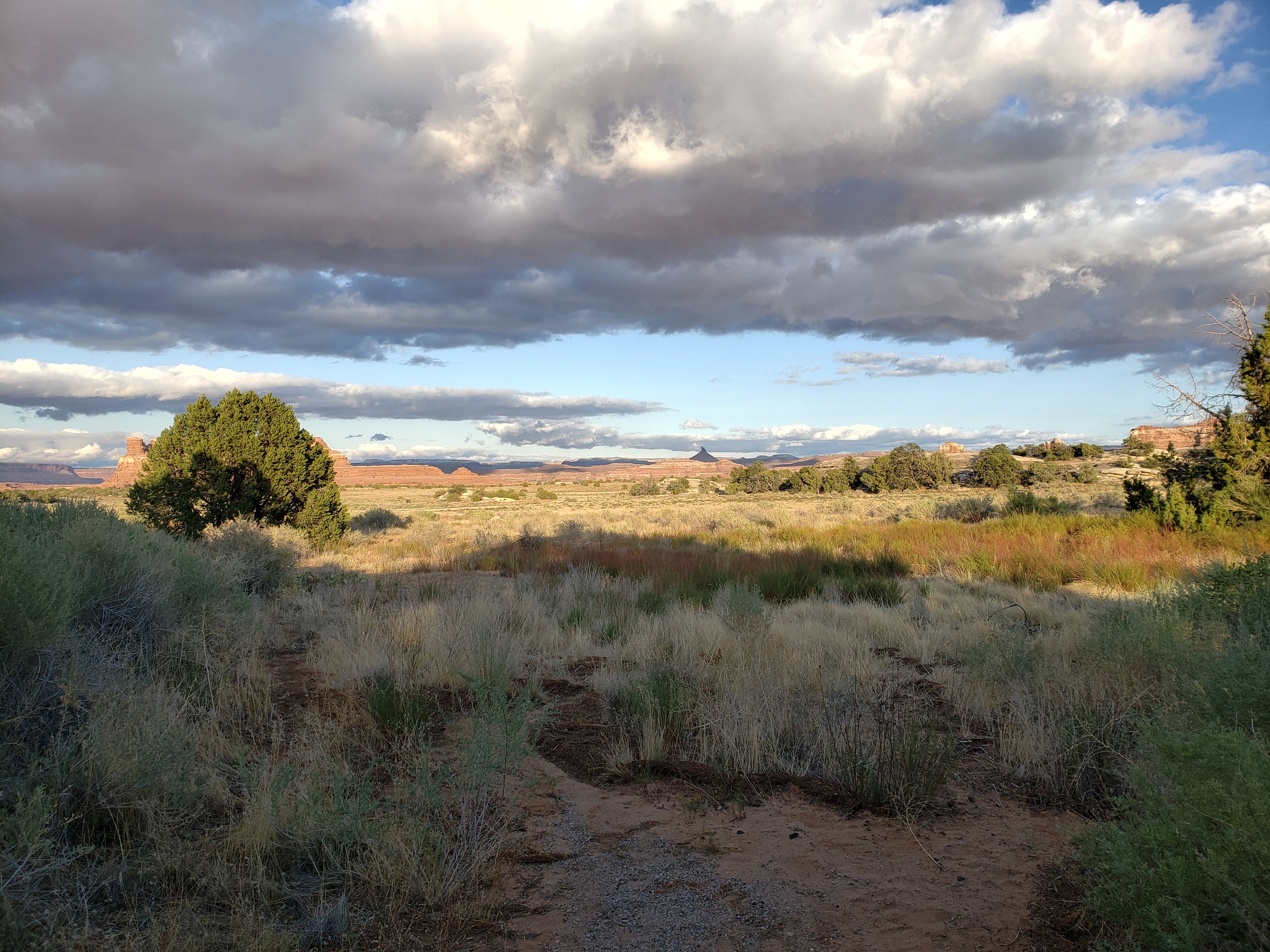
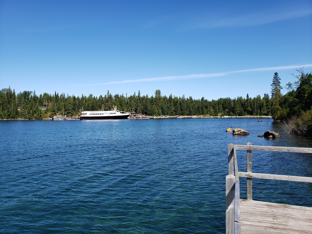
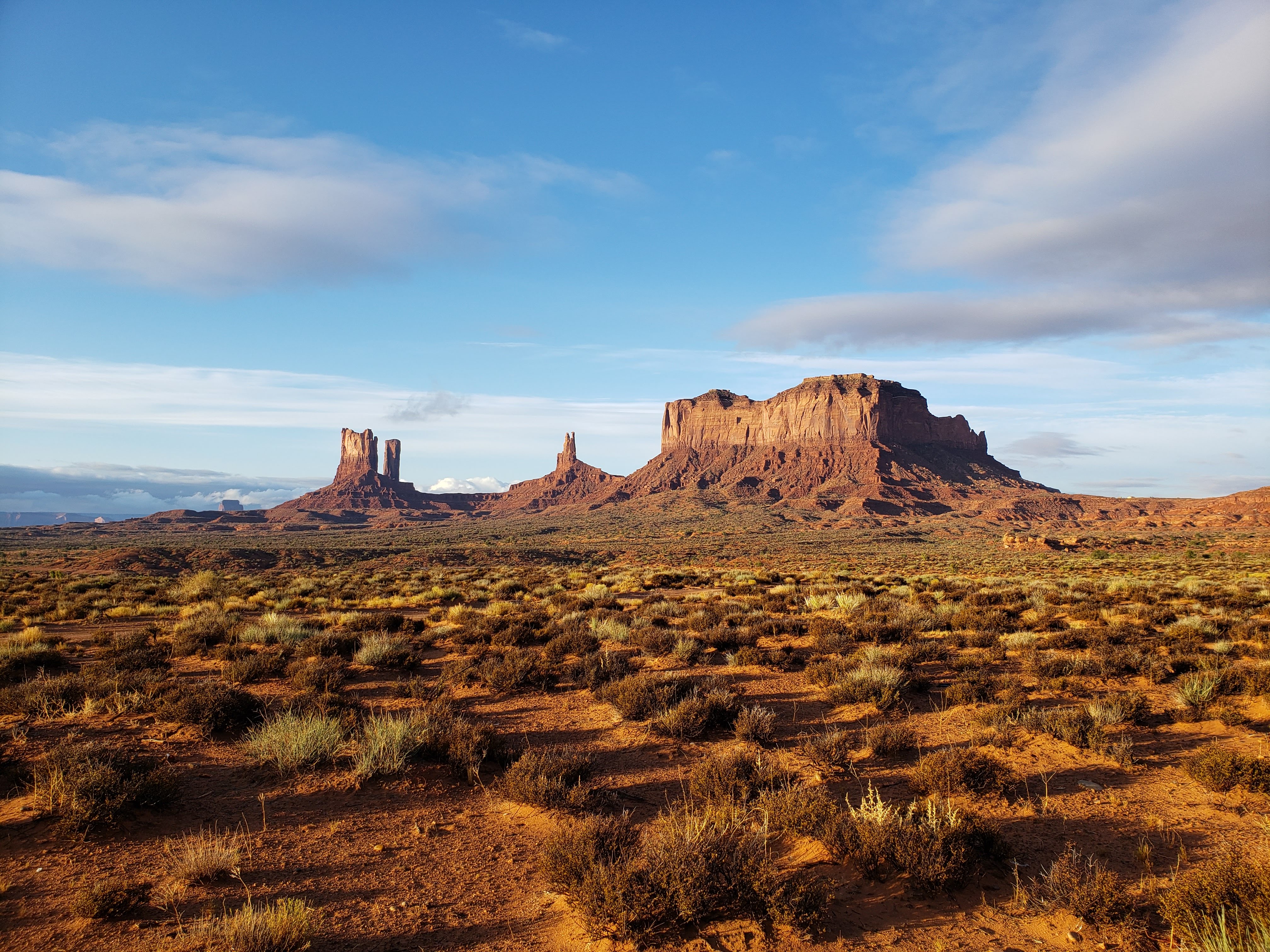
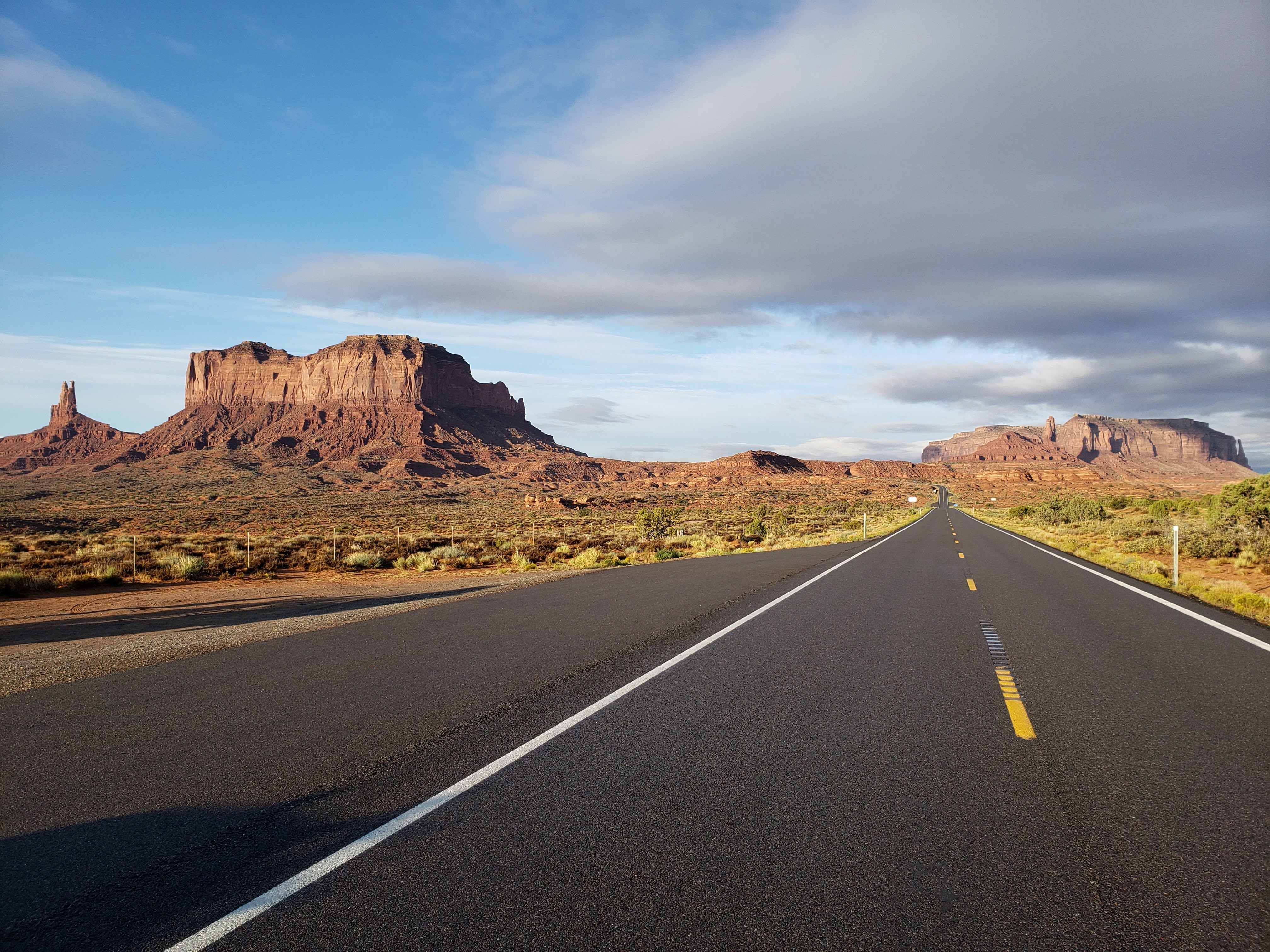
The couple next to us at the KOA was heading to Capitol Reef National Park. They said it was beautiful—so much so that they had just been there in June but still wanted to go back a few months later. This was contrary to what camp host Dick had told us at Arches National Park—how Capitol Reef National Park was just like all of the other Utah parks. We packed up and initially headed backwards a bit so that we could get photos of Monument Valley which we had missed due to arriving so late at night.
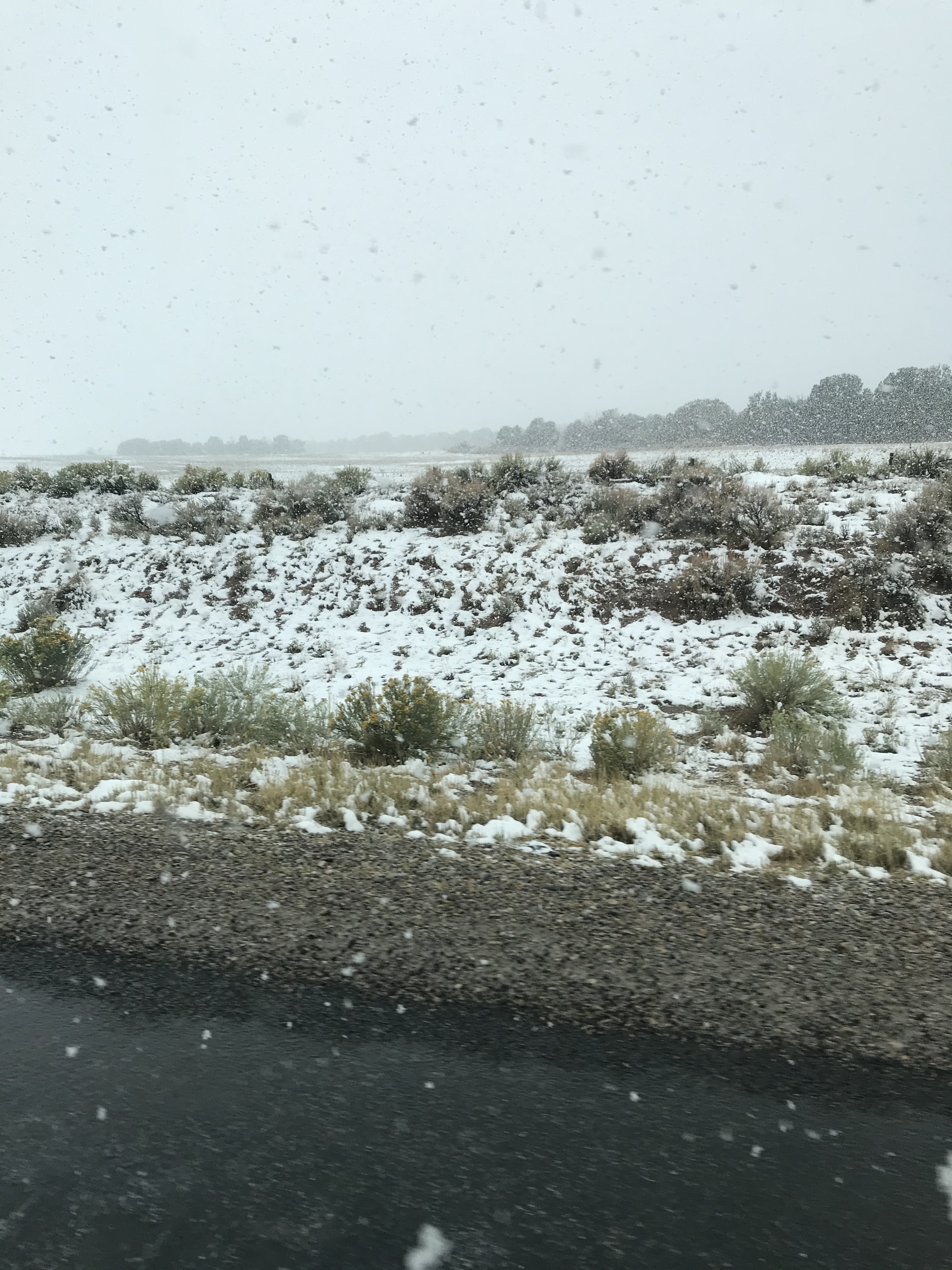
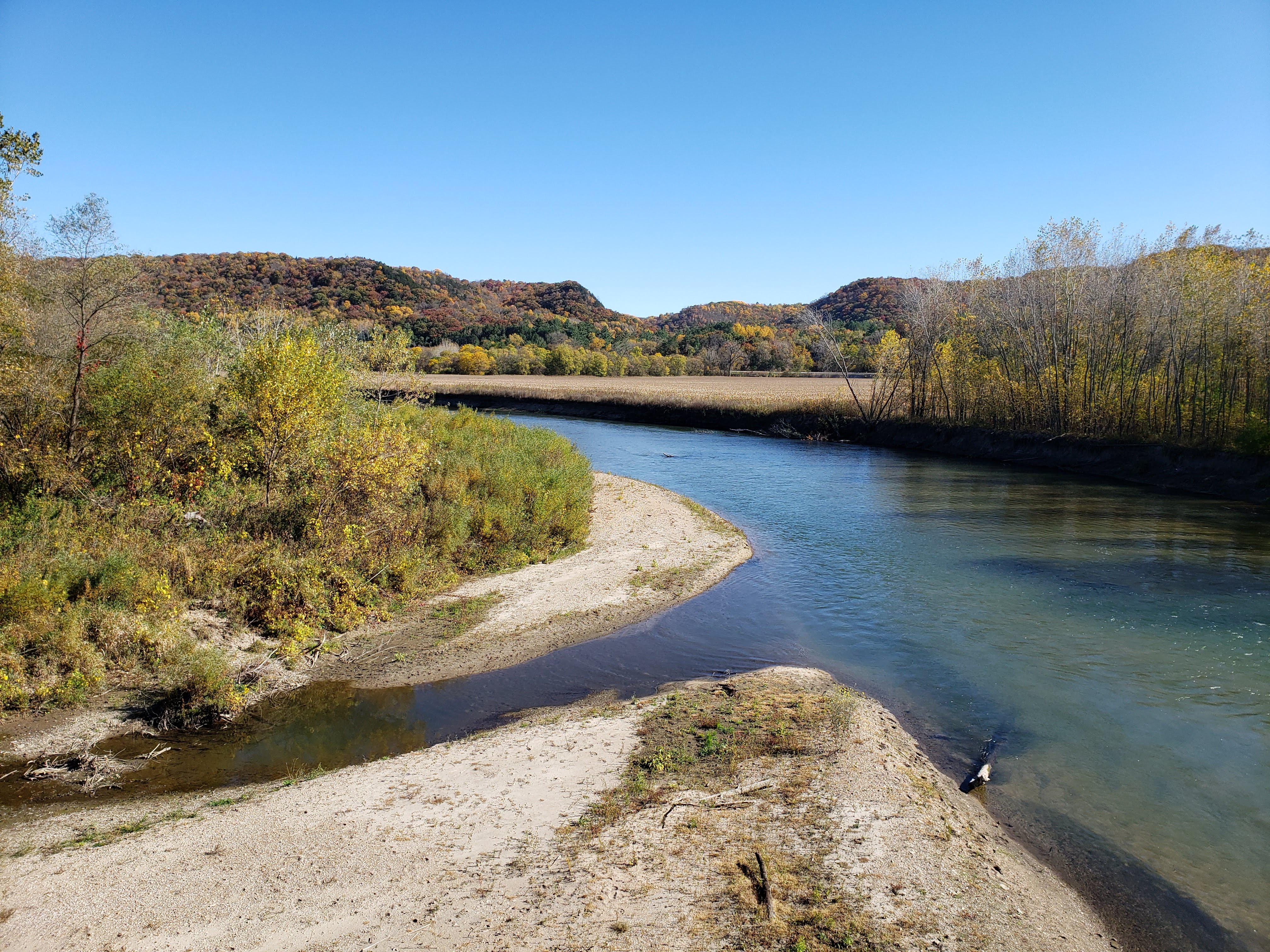
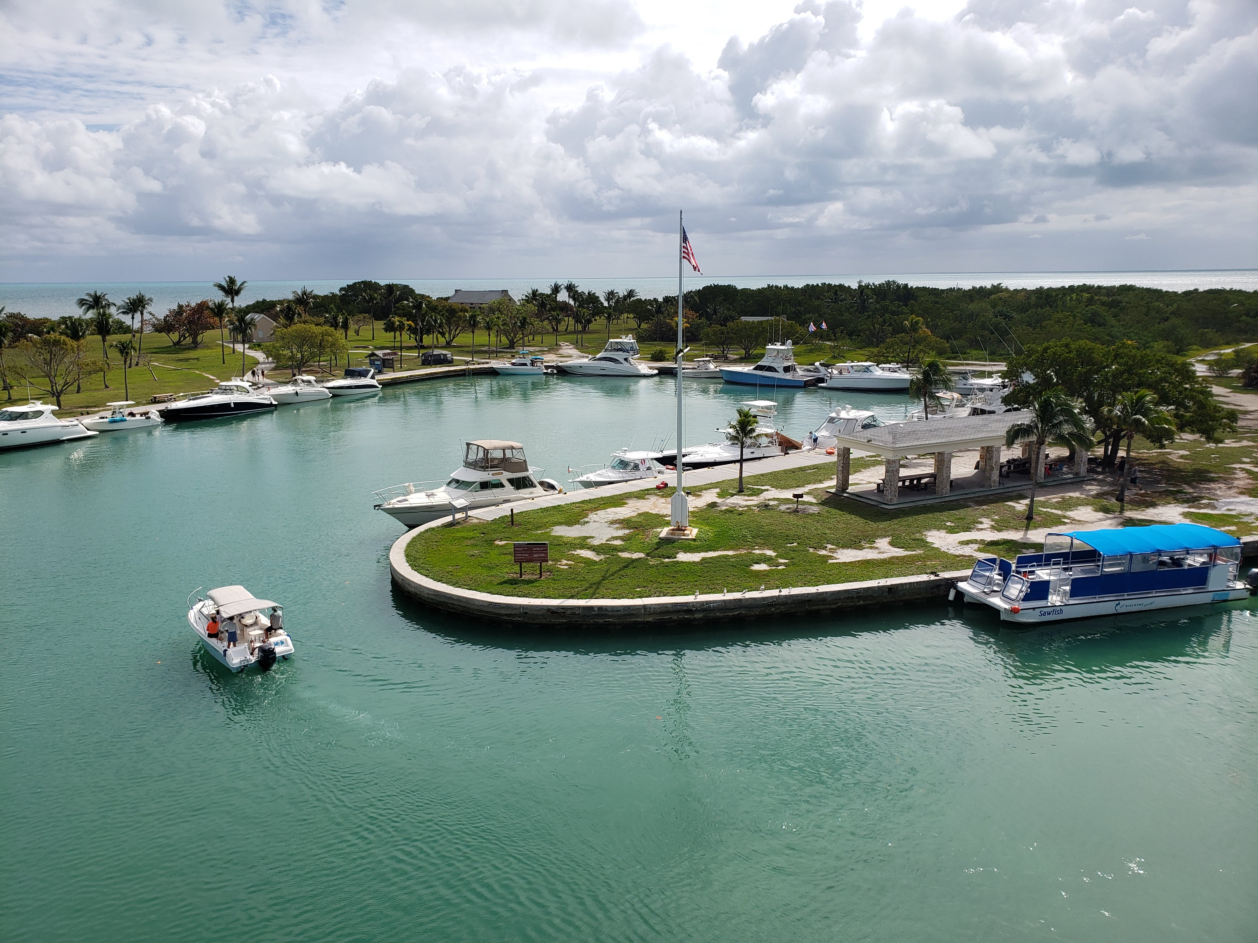
We hit the road again and headed south towards Arizona on our way to Zion National Park. We stopped in Kayenta to fill our cooler with ice and so Leah could get a coffee. We drove past the Navajo National Monument but it was closed due to COVID. The long stretches of remote Arizona highways were beautiful and made for a pleasant drive. We stopped in Lake Powell so Leah could use the restroom at the Glen Canyon Dam visitor center. I used this opportunity to check out the dam.
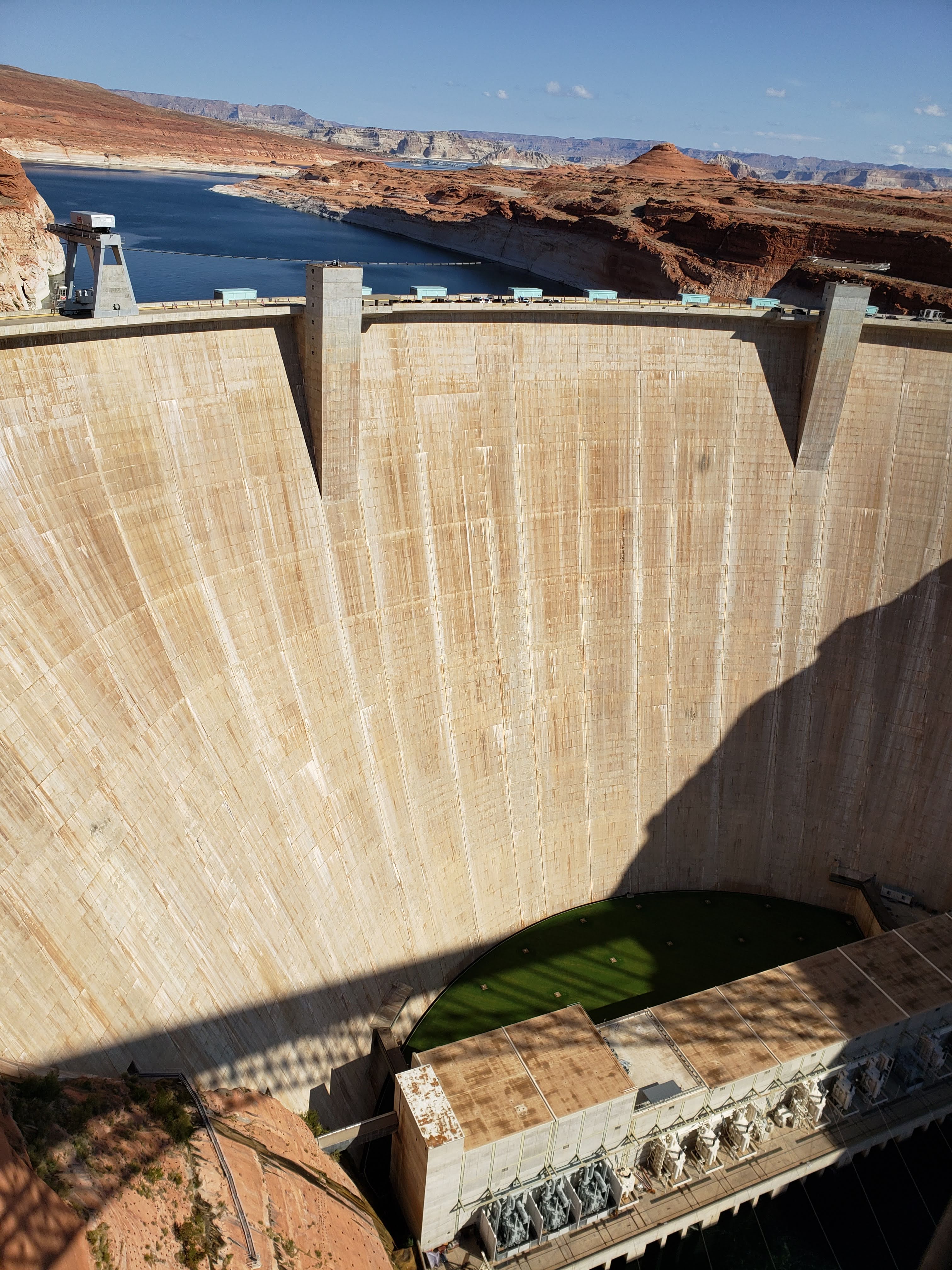
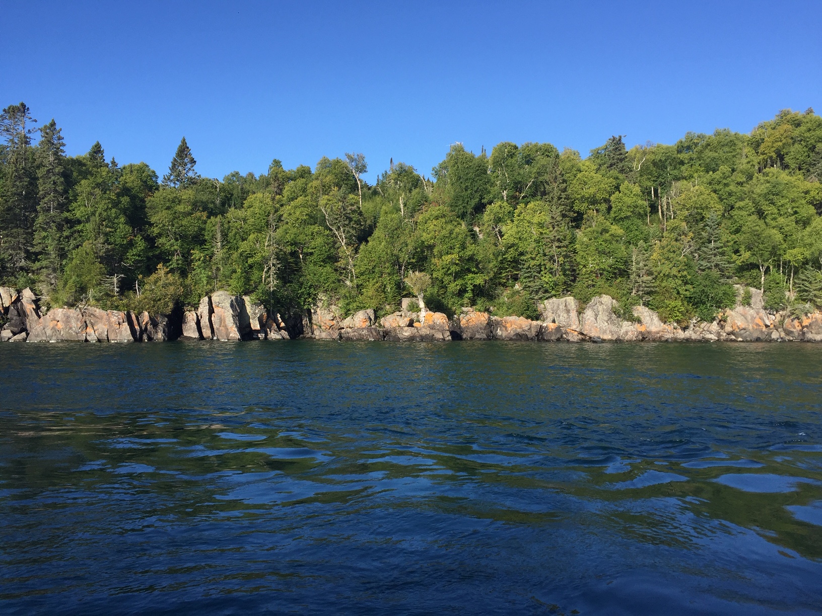
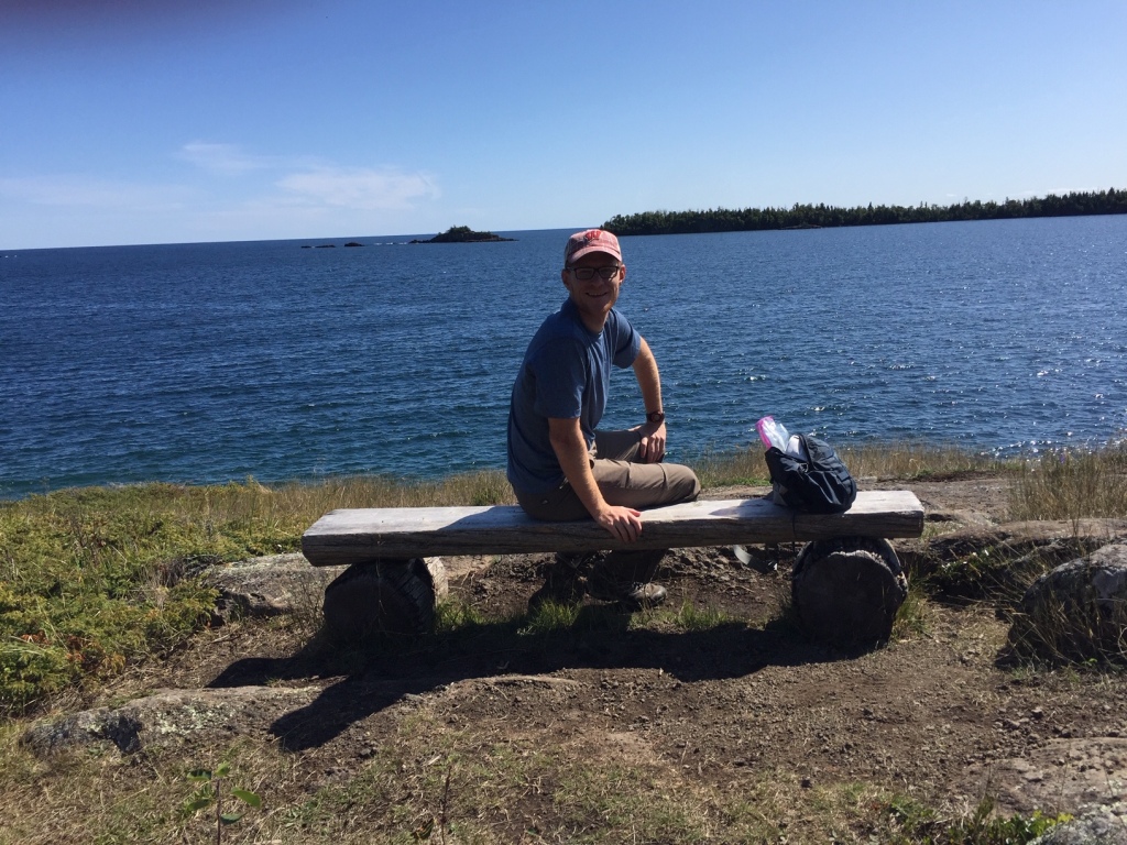
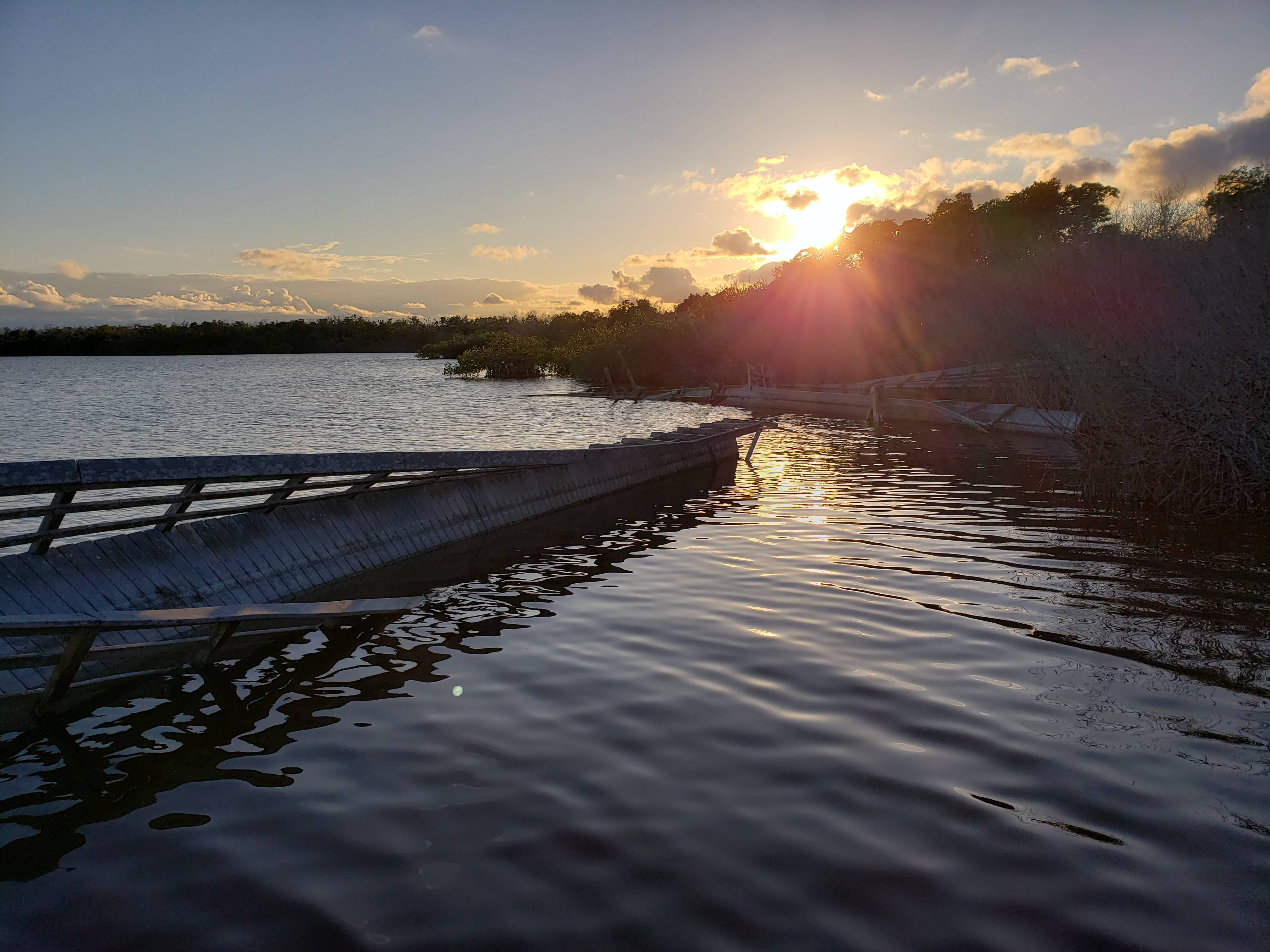
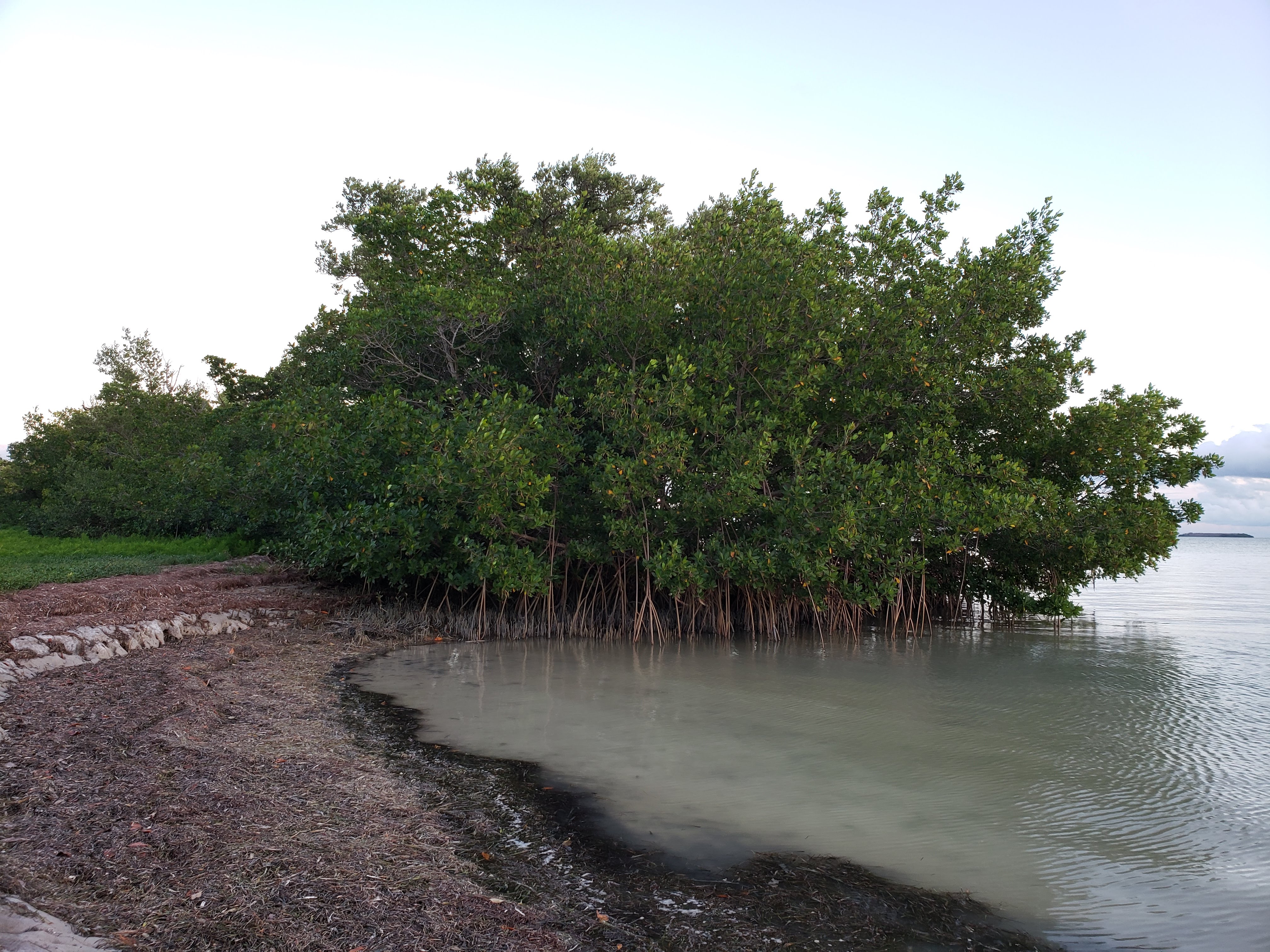
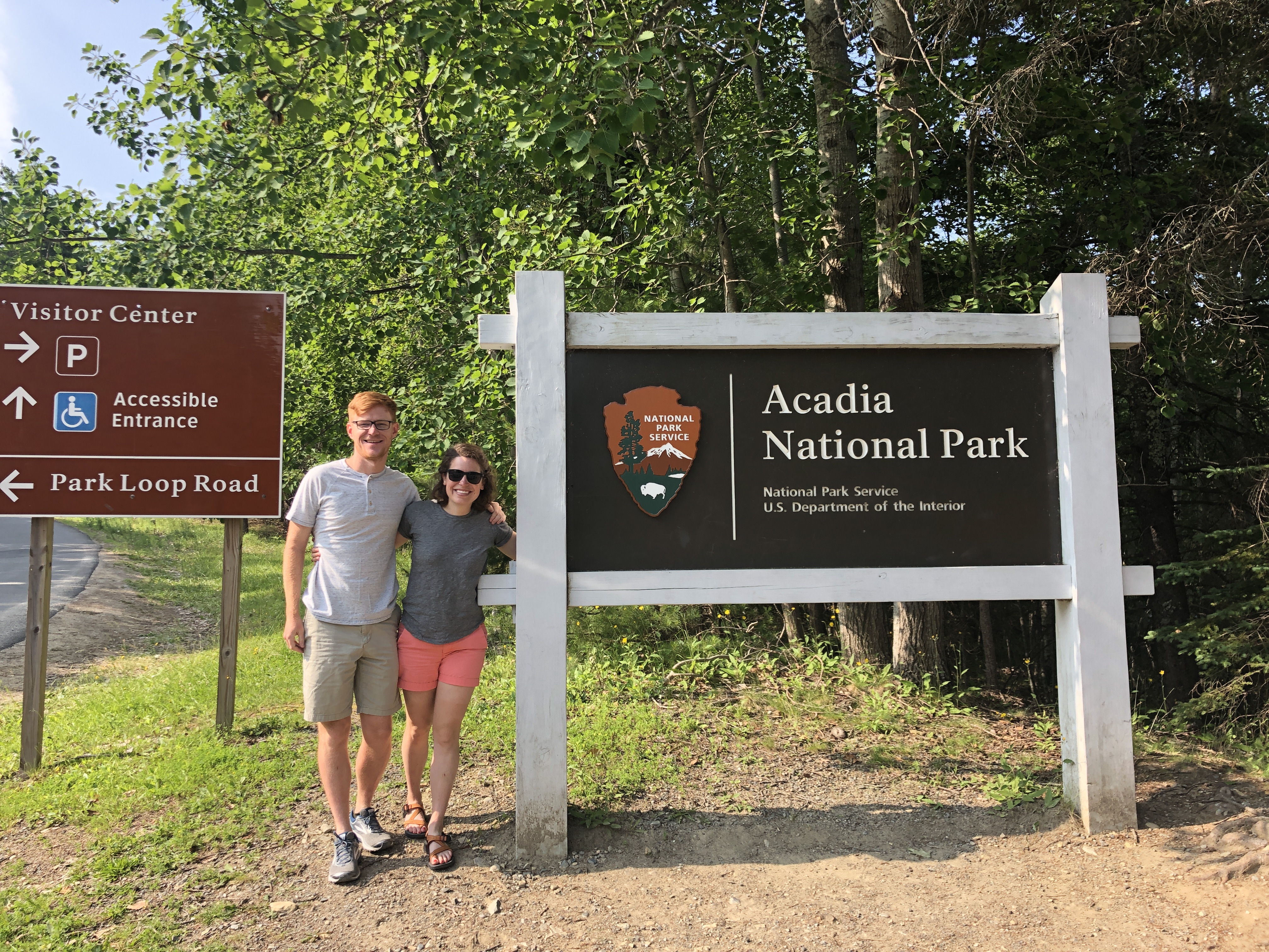
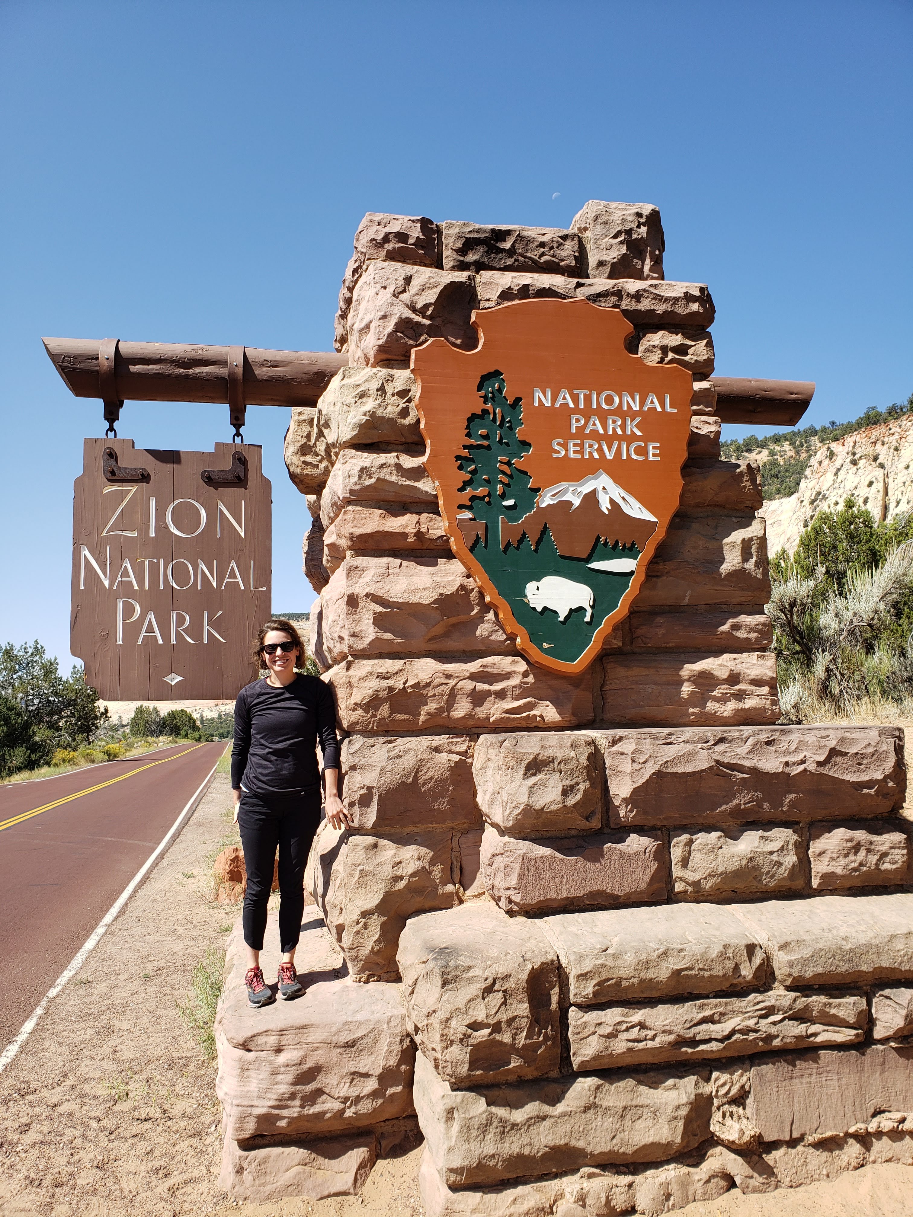
Lake Powell reminded us a lot of Lake Mead. Both are artificial water features created by massive dams on the Colorado River. Lake Powell was an odd tourist destination with lots of boaters, resorts, and crisp green golf courses—all in the middle of the desert. We crossed back into Utah and stopped in Kanab to get gas. Next we made our way into Zion National Park. Of course we had to stop and get a National Park sign photo.
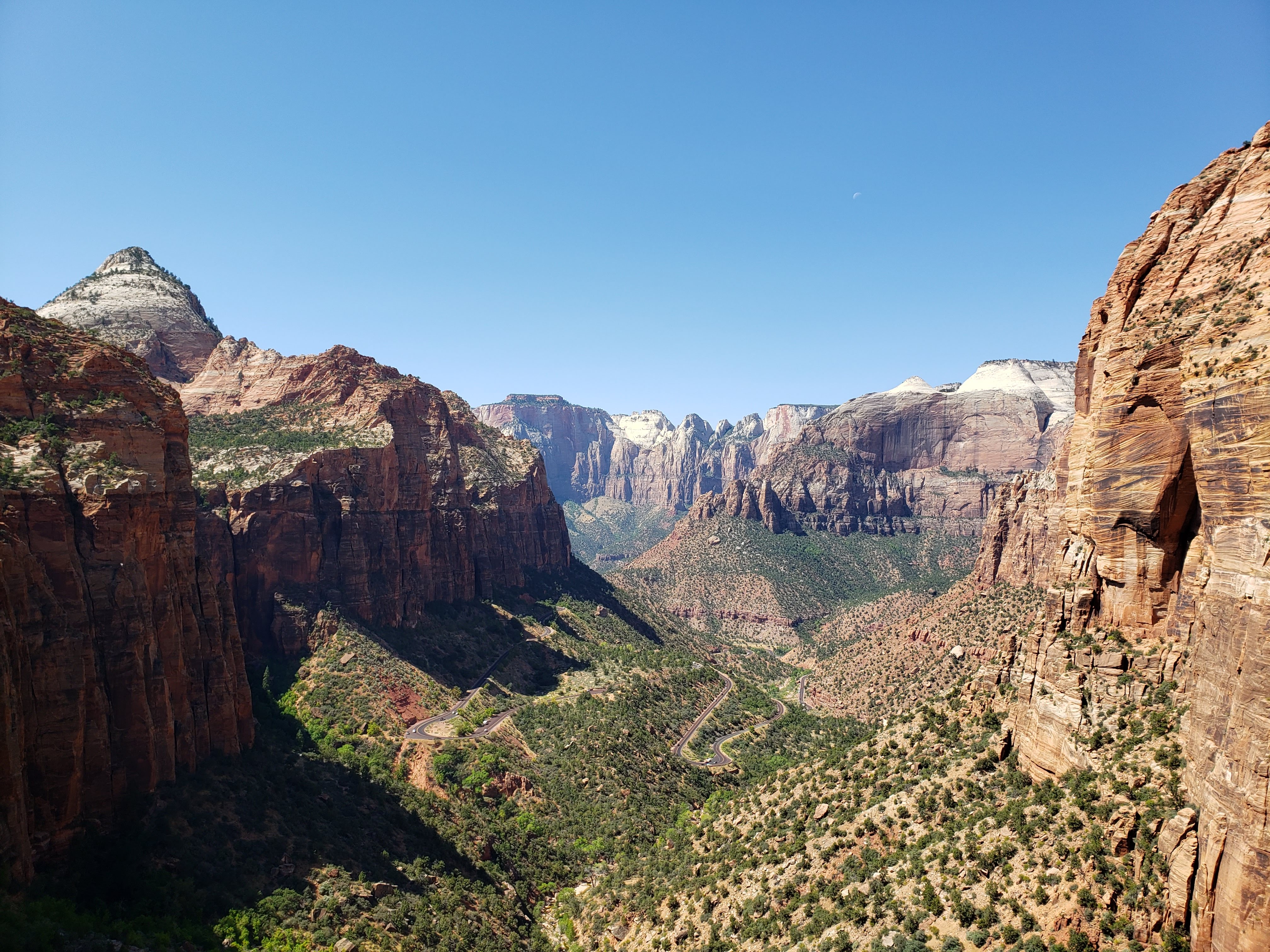
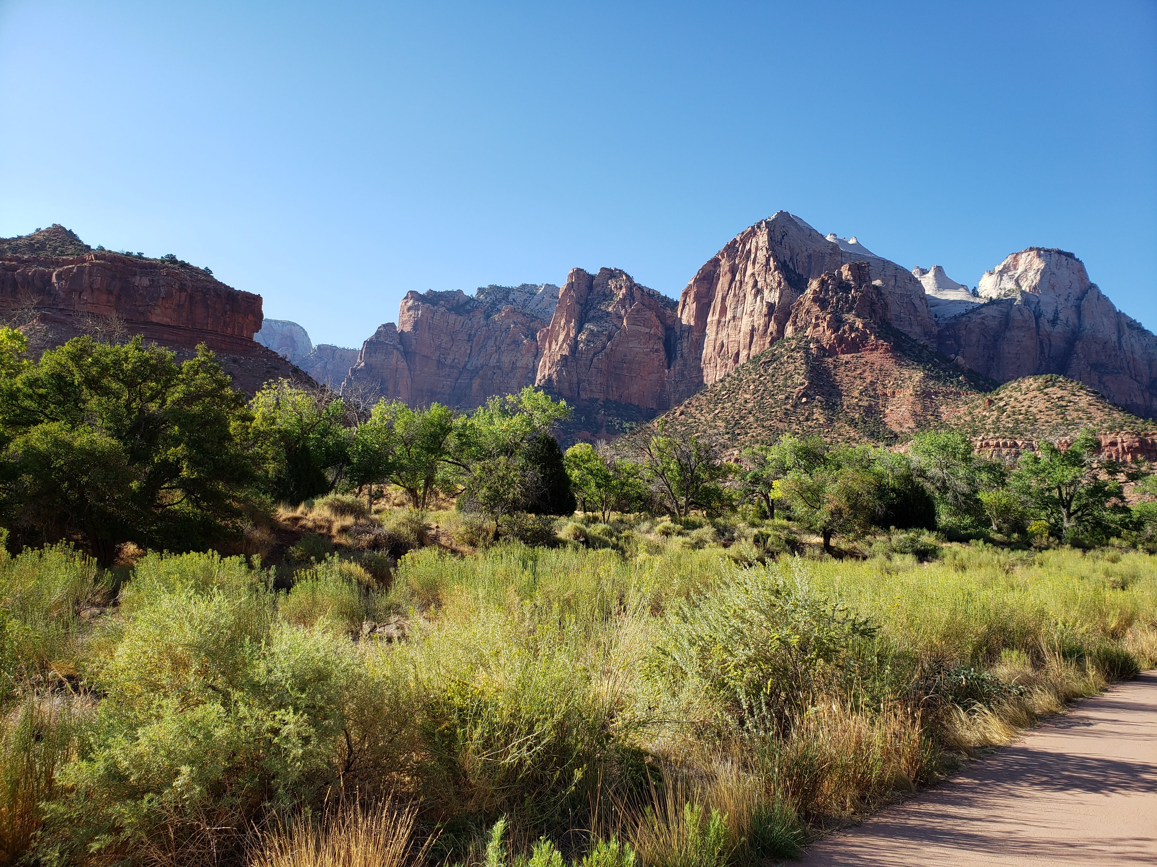
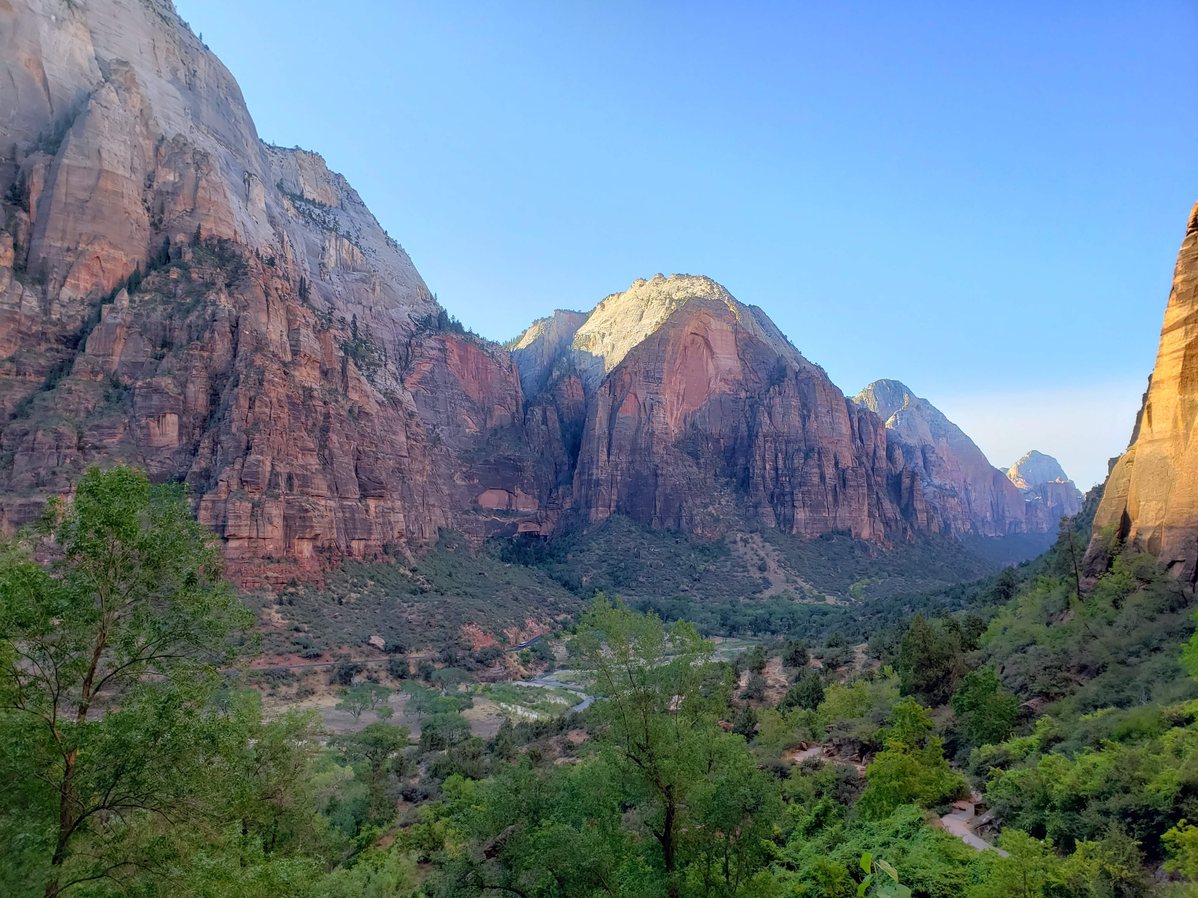
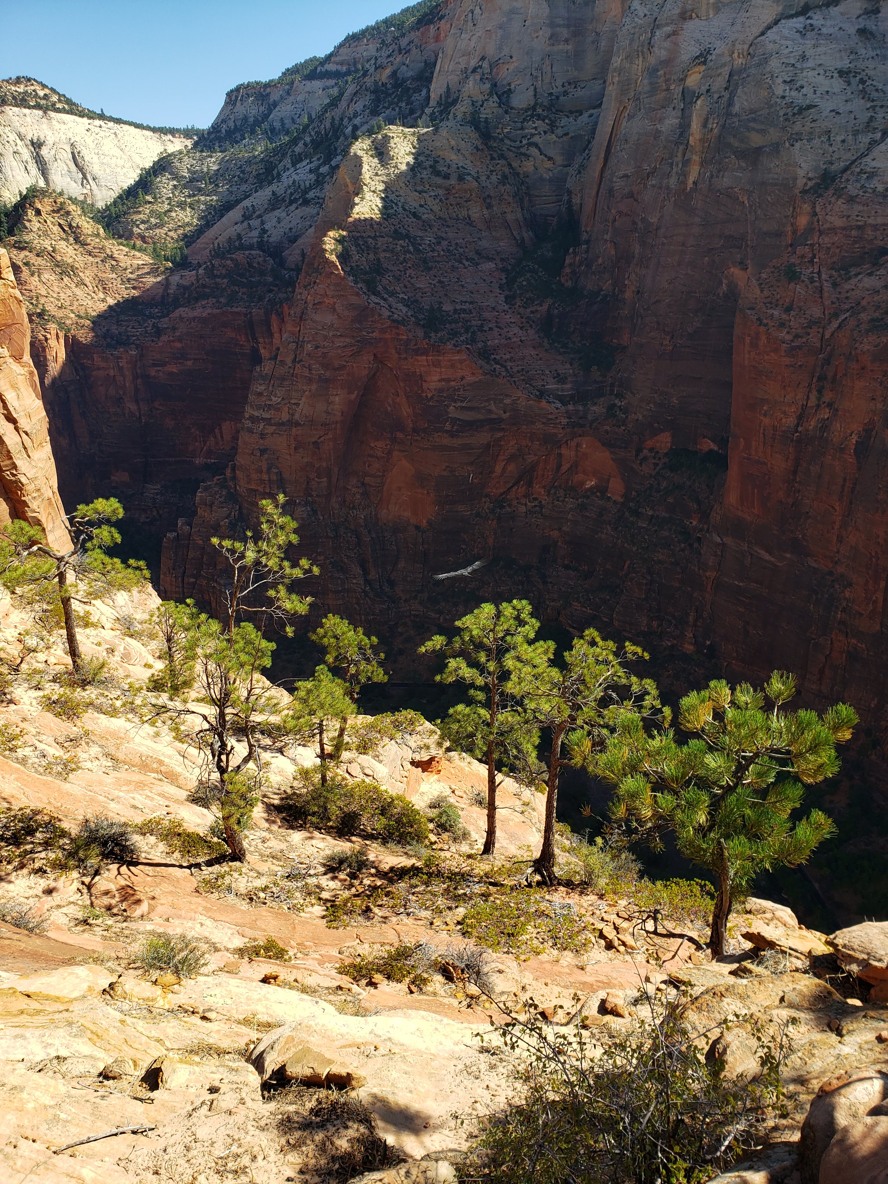
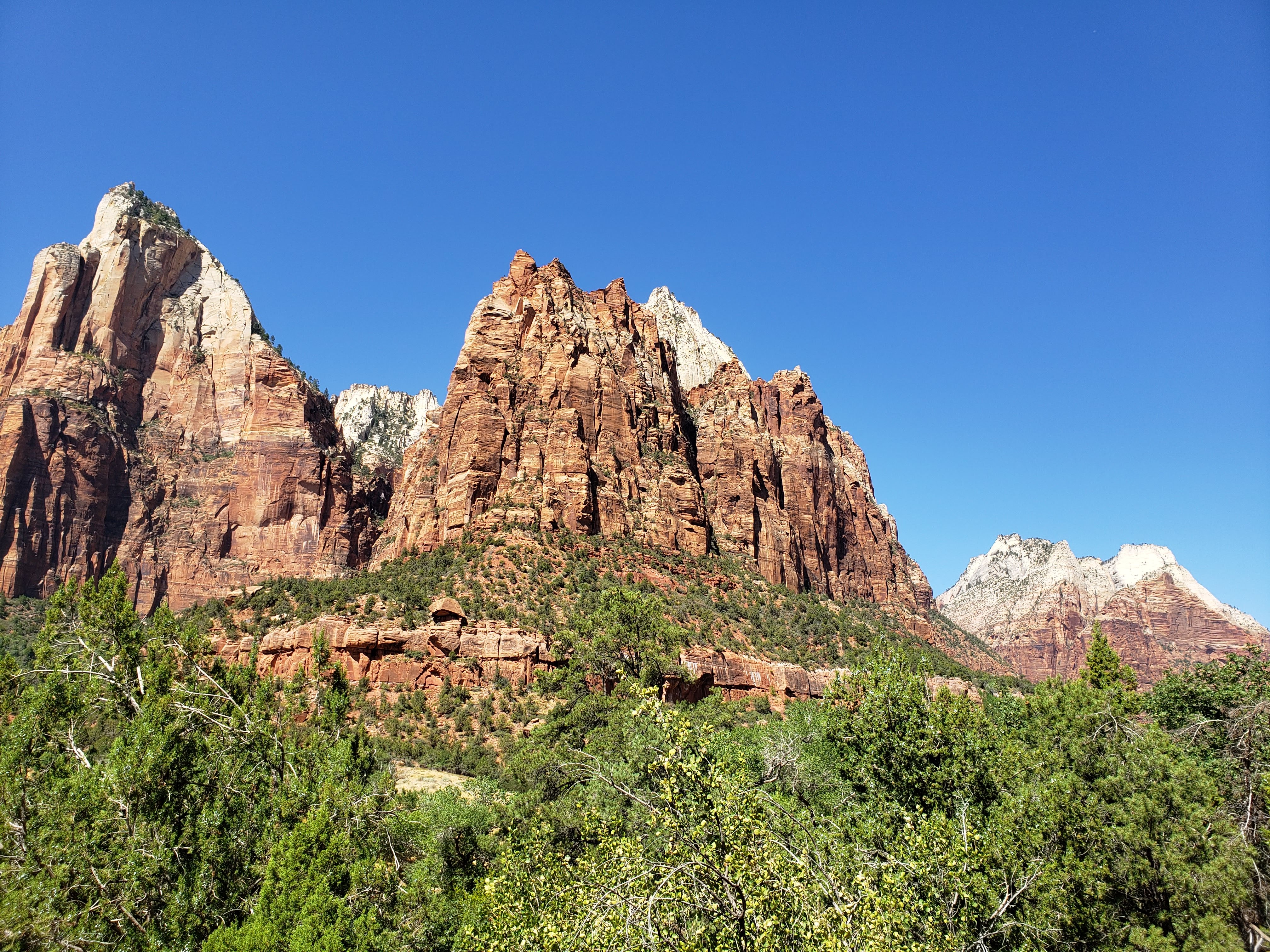
We hiked the Canyon Overlook Trail which was just past the east entrance. The trail was pretty crowded but we got some great views of the canyon. It’s a one mile hike that is highly recommended and this was our best chance to do it since we would be leaving Zion NP out of a different entrance.

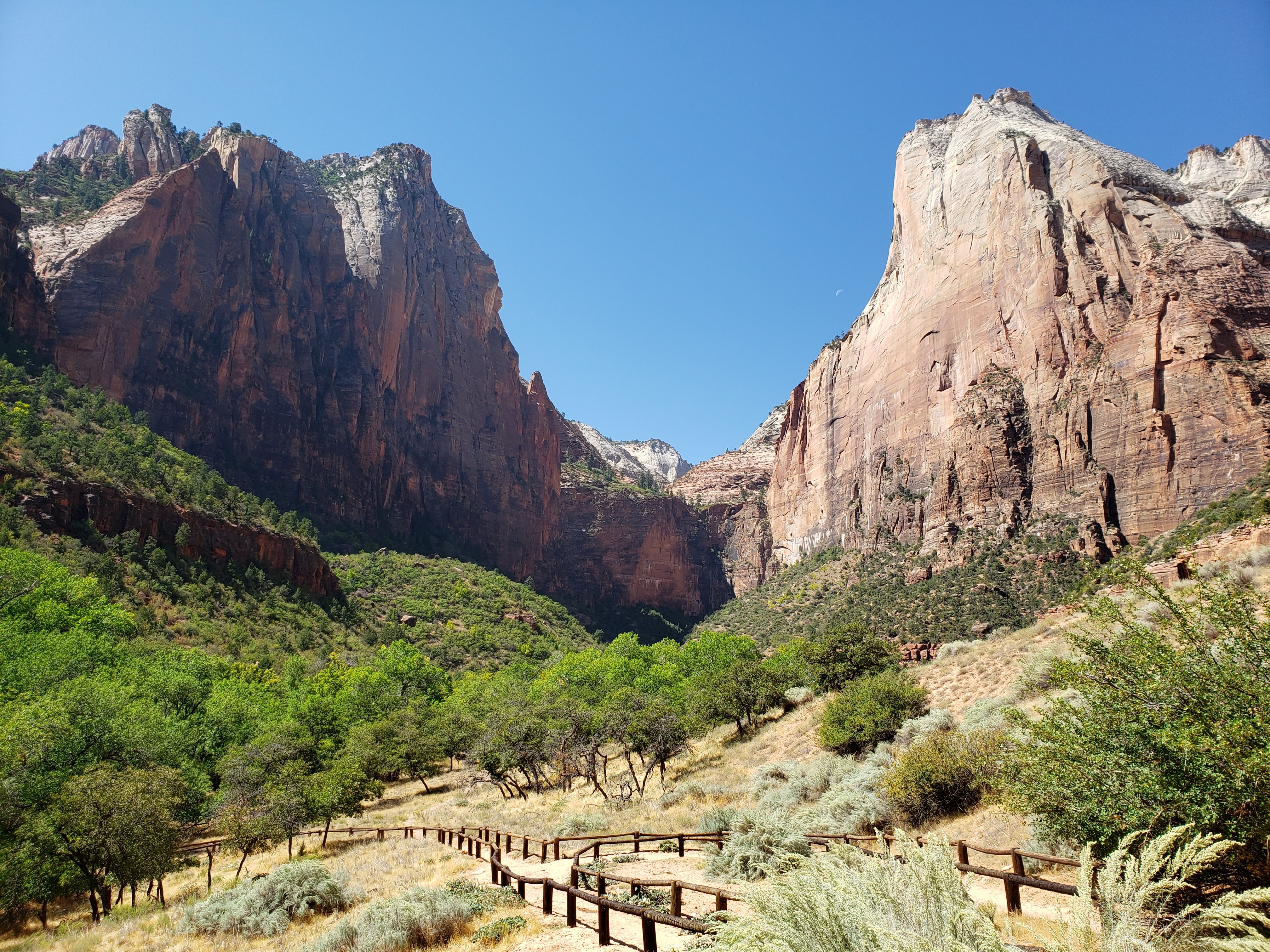
We hiked back to the car and ate lunch out of the trunk. We continued into the park—driving through the tunnel and down the winding road. Once we got to Zion Canyon and the main area of the park, our first destination was the visitor center to talk to a ranger. We already knew that Angels Landing (one of the most iconic hikes in the entire National Park system) was closed due to COVID. The hike gets incredibly crowded and there is a section of chains that are a common touch surface. We also knew that the main route to Observation Point was closed due to a rock slide. The ranger said that the alternate route from the East Rim Trail was for high clearance all-wheel drive vehicles only. I wasn’t convinced, but it was discouraging to hear. And to top it all off, hiking The Narrows was still not recommended due to a harmful algae bloom in the river. Apparently this was the first time that this particular algae bloom had ever been found in a river in Utah. The ranger said we should not hike The Narrows. I was really bummed out. The three hikes that I wanted to do the most at Zion NP were all closed for different reasons. We had three days planned at Zion NP and now I was wondering what we were going to do.
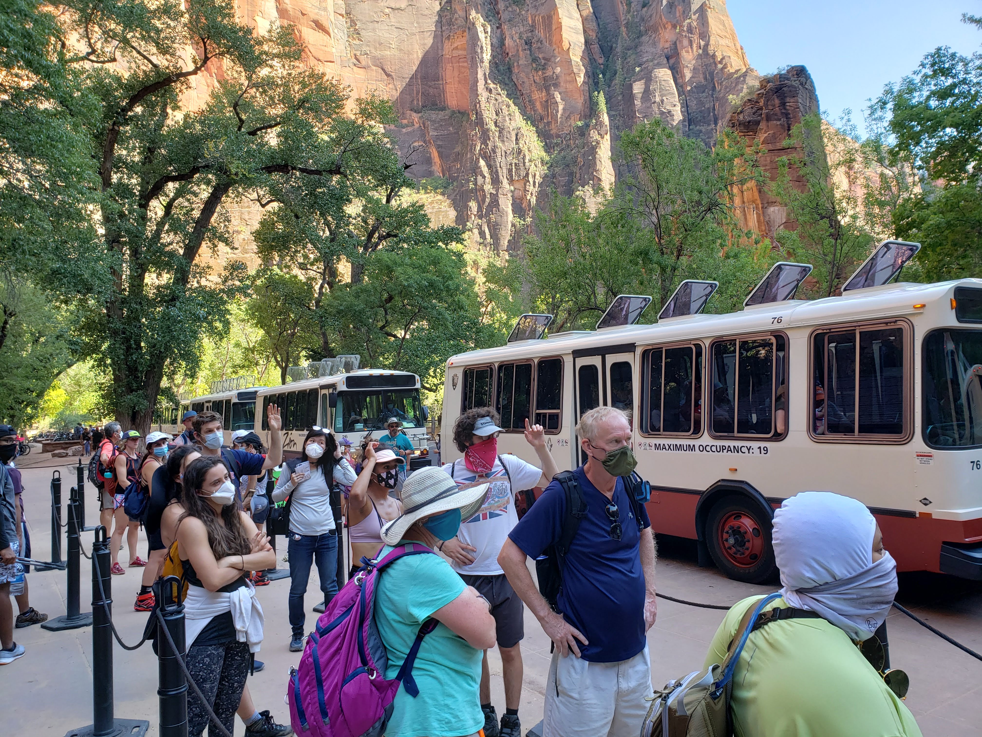
We had shuttle tickets for Zion Canyon that were good between 2 and 3 PM. I had purchased all of our shuttle tickets ahead of time. Luckily, I realized while planning the trip that—due to COVID—timed tickets were needed in order to ride the shuttle. Private vehicles were not allowed into the canyon during the summer so the only way in was on a shuttle, private tour, bicycle, or by walking. I was vigilant in checking the reservation system so that we could get tickets in the afternoon roughly when we would arrive. Also, we had early morning tickets the following two days so that we could hike before the crowds increased later in the day.
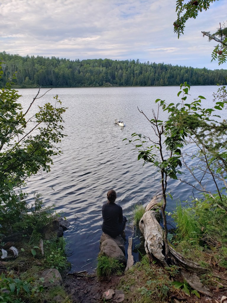
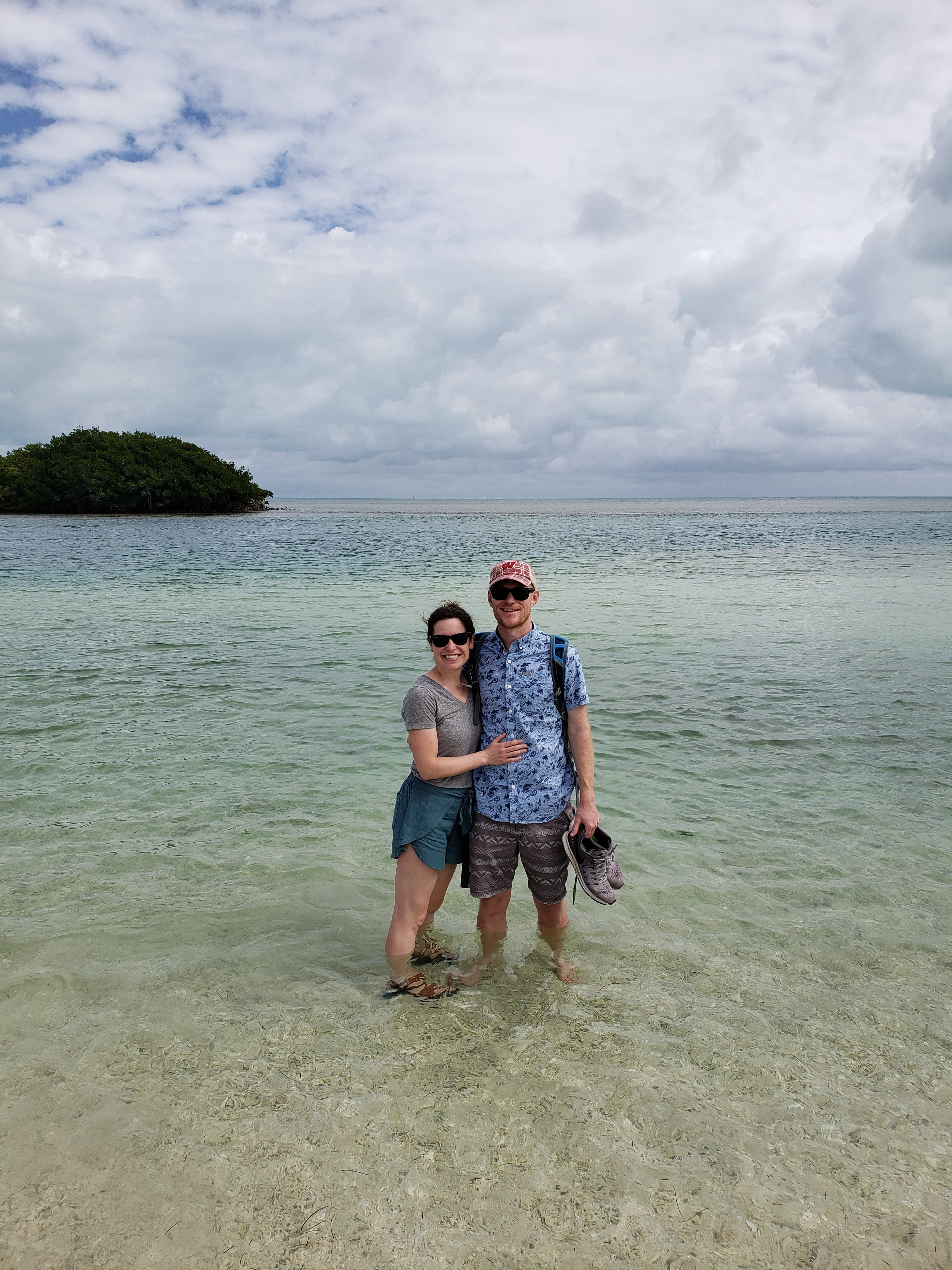
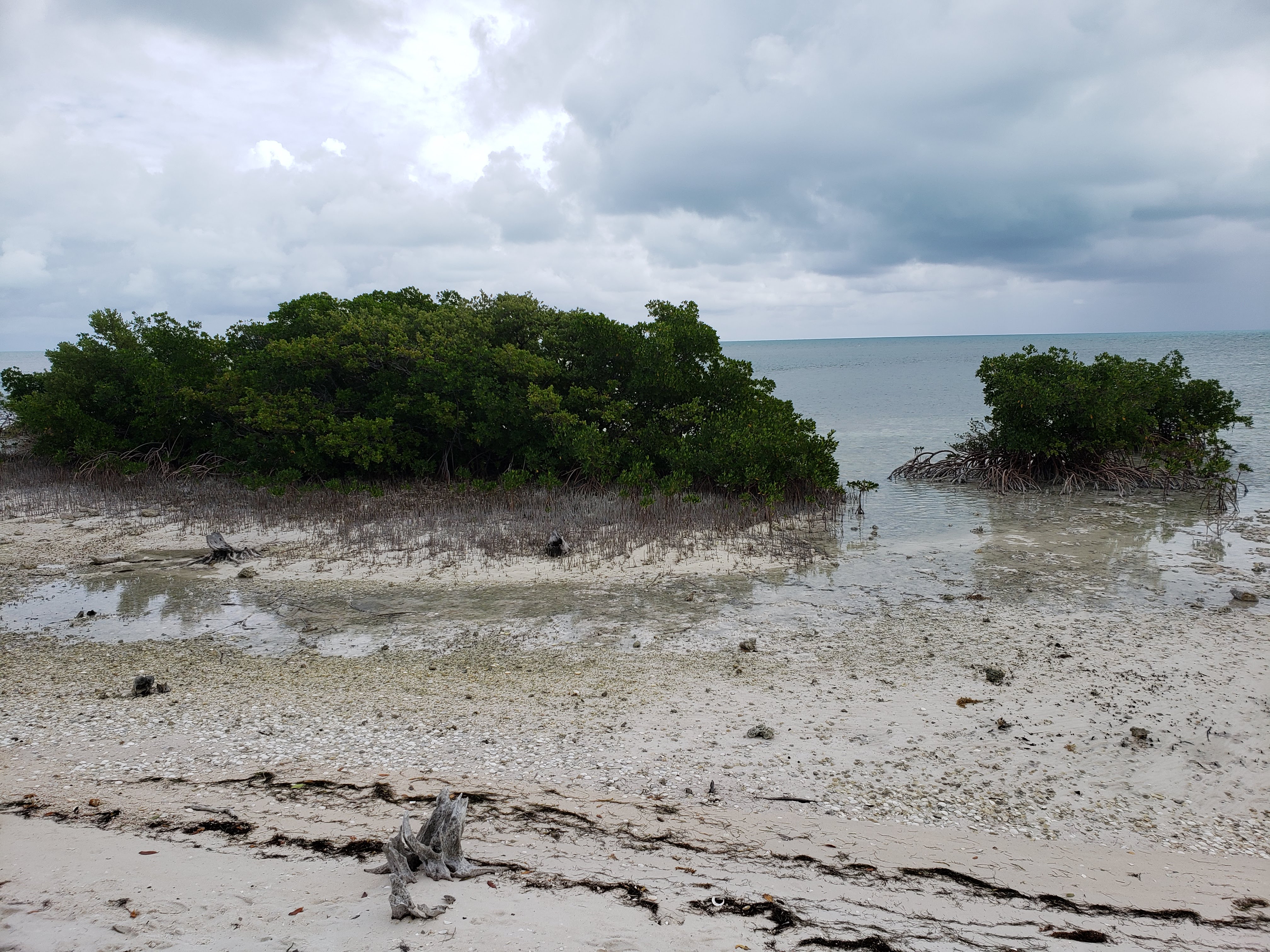
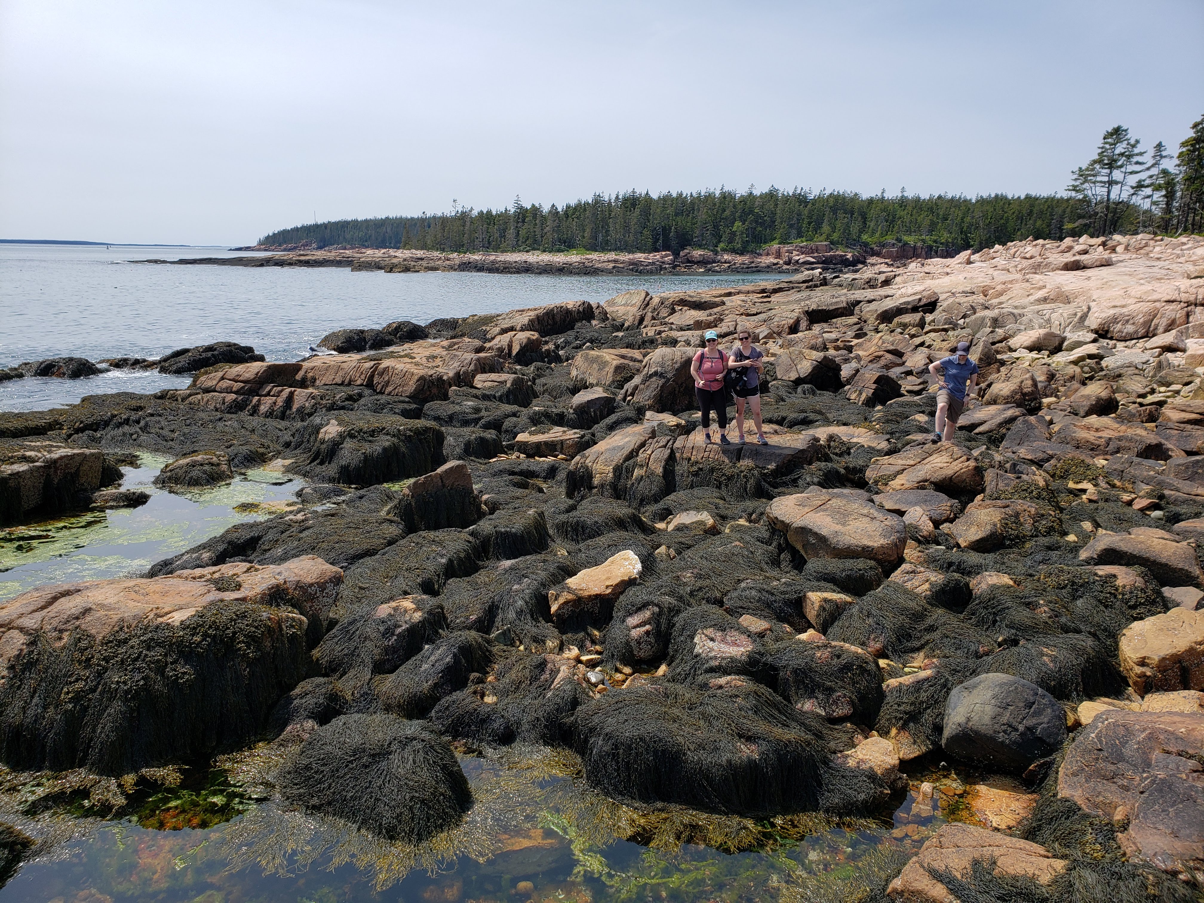
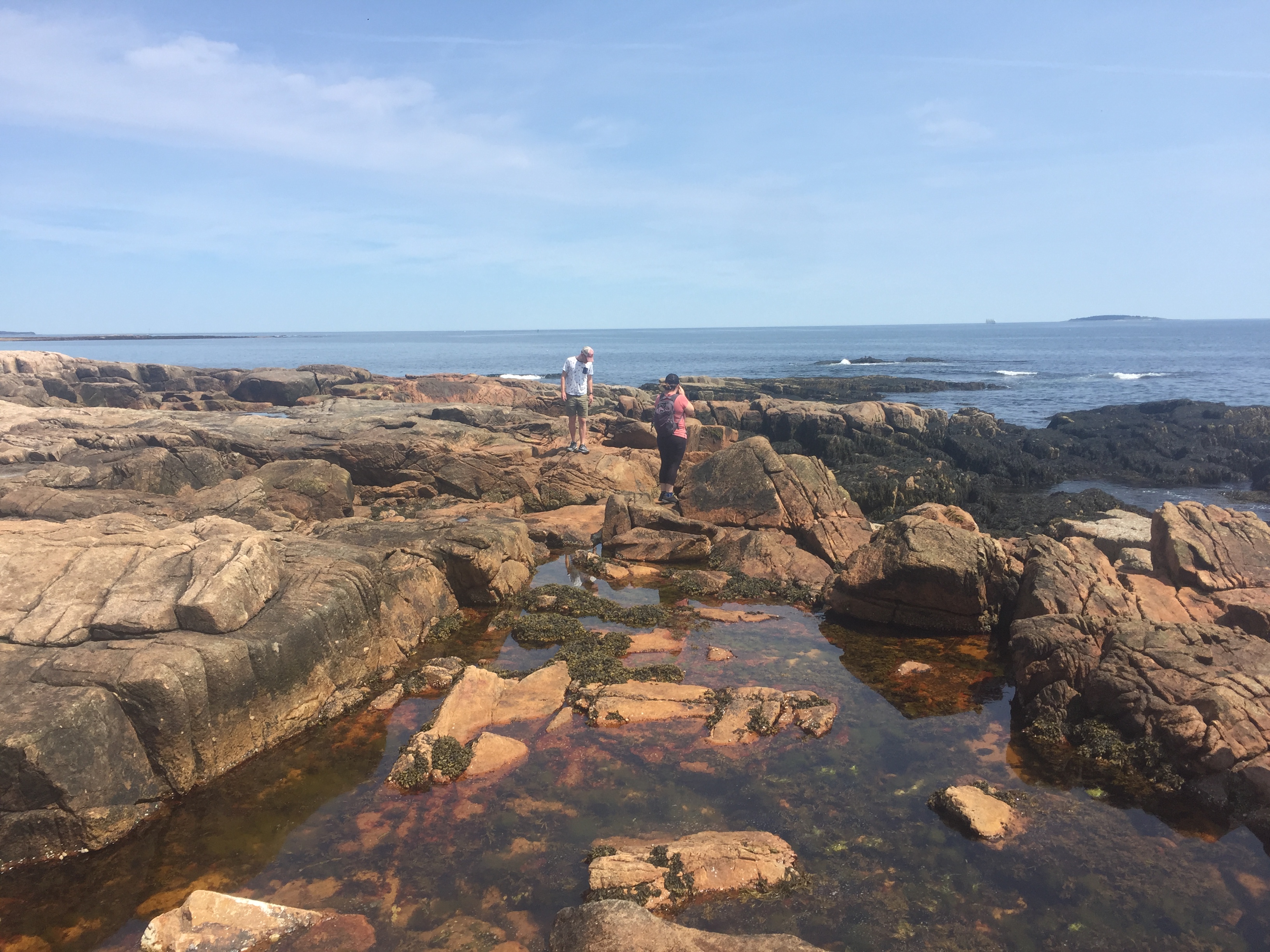
We boarded the shuttle at 2:30 PM and headed to the final stop on the route—the Temple of Sinawava. This is where the hike to The Narrows begins. We hiked the Riverside Walk Trail and passed countless people who had obviously just hiked The Narrows. When we got to the end of the trail, we saw so many people in the Virgin River. We had read that the algae was only really dangerous if it got in your eye, an open wound, or if you swallowed it. We had planned to heed the ranger’s warning. But after seeing so many people hiking in the river, we decided that it must be safe enough and we should totally do it as well. We thought that as long as we took precautions and were careful that it would be safe. My spirits lifted a little. We’d still have to come back another time to hike Angels Landing and Observation Point, but at least we could hike The Narrows.
We hiked back to the shuttle stop and waited in line for about 30 minutes. COVID precautions were being loosely followed. We boarded the St. George shuttle which was being used as a visitor center express bus. There was a constant stream of people boarding the shuttles at the stop we just left so there wasn’t any room for people at later stops to get on. We were going to get off at the Big Bend shuttle stop and look around but we were advised not to due to it being hard to get back on a shuttle.
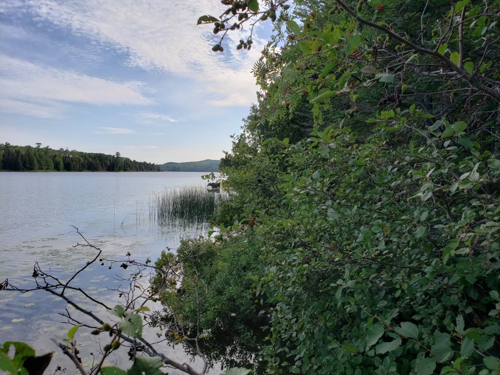
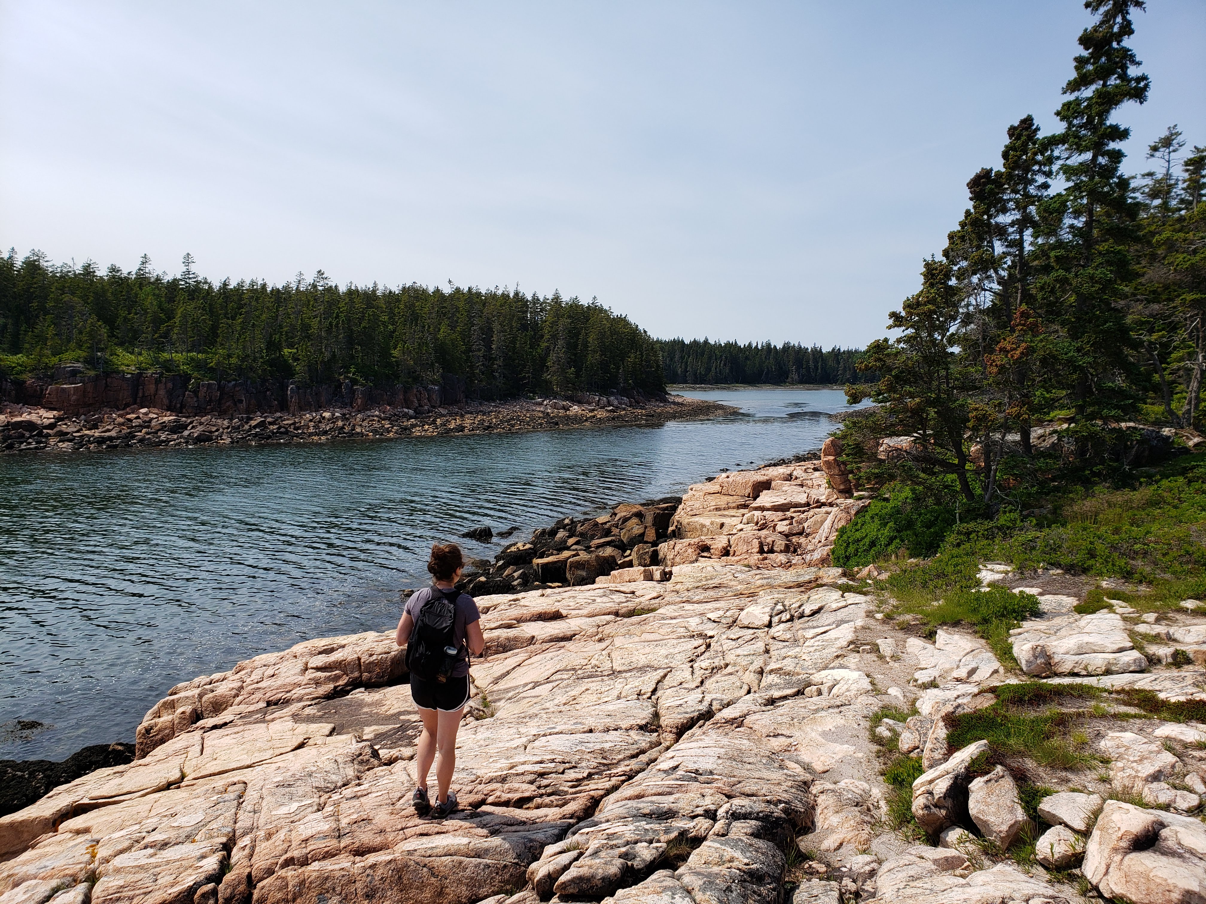
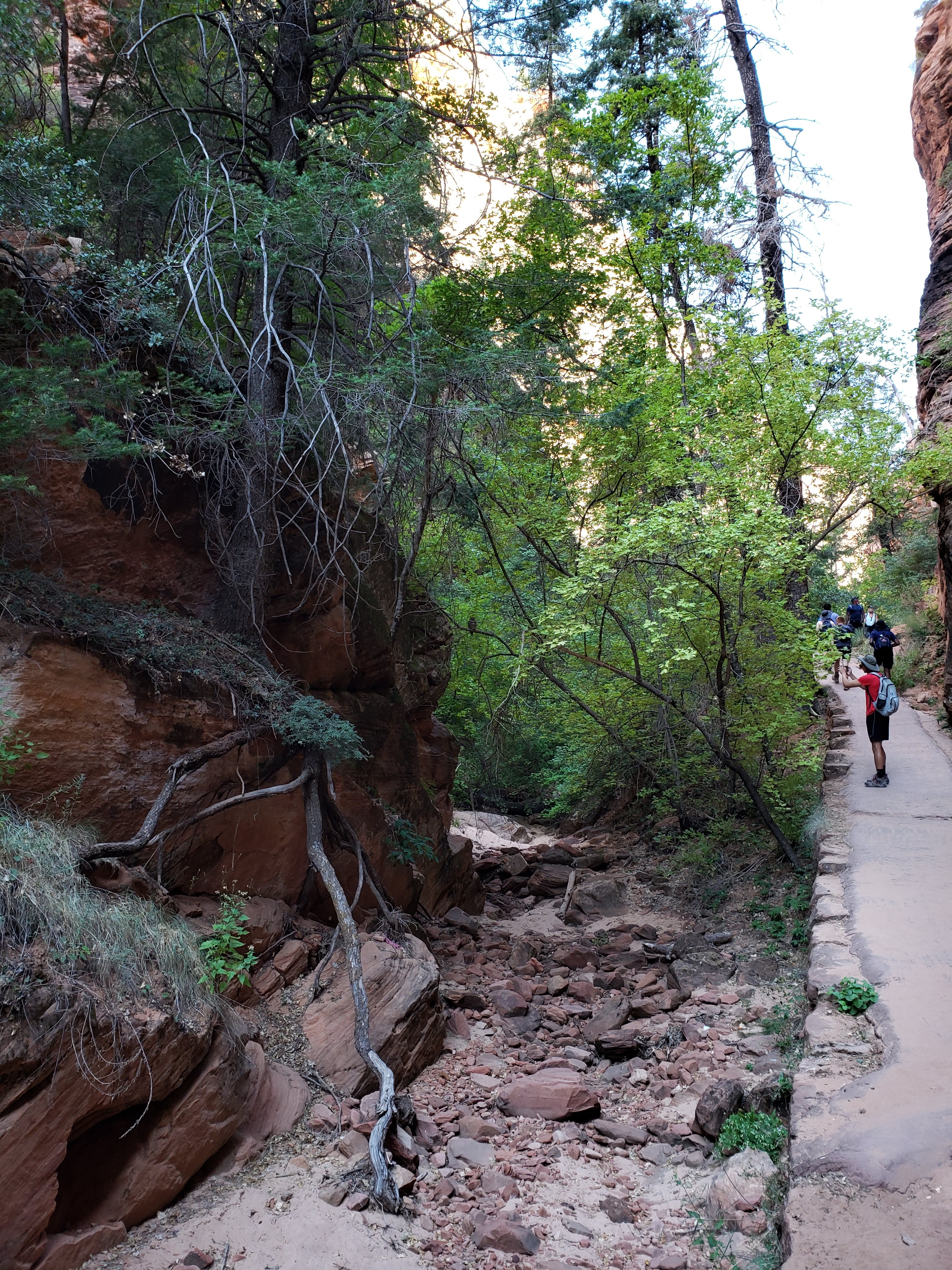
Once back at the visitor center we bought the passport sticker, a park sticker, postcards, and a baby gift. Our friend had just given birth the other day and Leah wanted to pick out something for the new baby. Next we headed out on the Pa’rus Trail. It was flat and followed the Virgin River. We also got some nice views of the canyon.


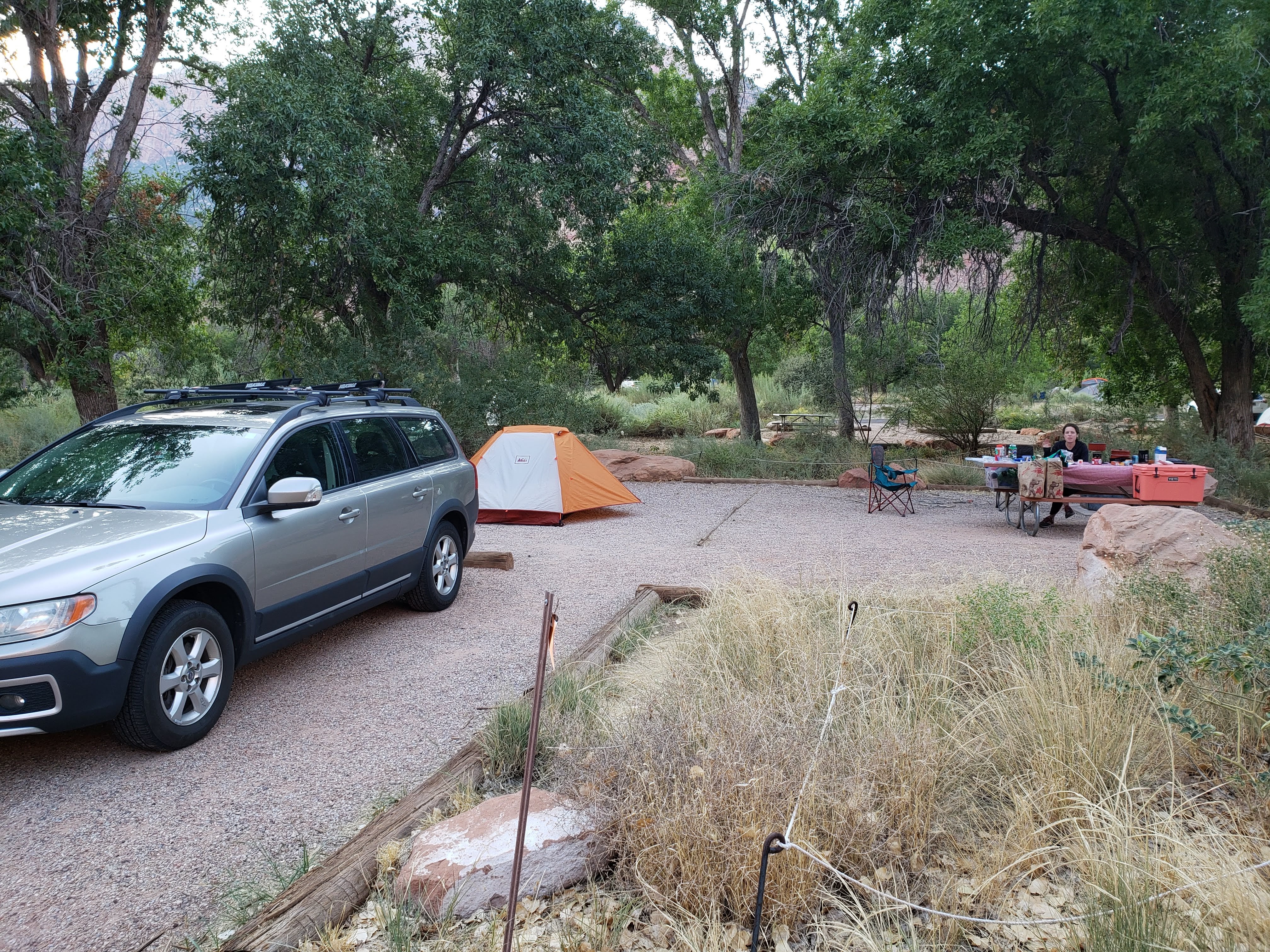
We headed to our campsite and set up the tent. Our tent was a little damp from the morning. We had a couple beers and ate extra creamy mac and cheese for dinner. I was very impressed with how easy it was to make mac and cheese on our stove. It also tasted great in my opinion.
We cleaned up and headed to the ranger program which started at 8 PM. It was about animals in the park. I was so glad that there was a ranger program. It’s one of my favorite things about camping at National Parks. COVID had cut a bunch of programming at National Parks so this was the first ranger program that we had been able to attend.
After the ranger program, we walked back to our campsite. Leah commented that she was going to throw out her headlamp because only two of the four bulbs were working and she wanted a brighter light. I like my dim headlamp. The Milky Way was visible—though not as nice as the first night in Arches National Park. We headed to bed with a plan to hike to Scout Lookout (as far as you can go before the chain section of Angels Landing) the next day.
Total miles hiked: 6.7 Weather: Highs in the 80s at Zion, temps in the 60s while driving
Day 8 – Zion National Park
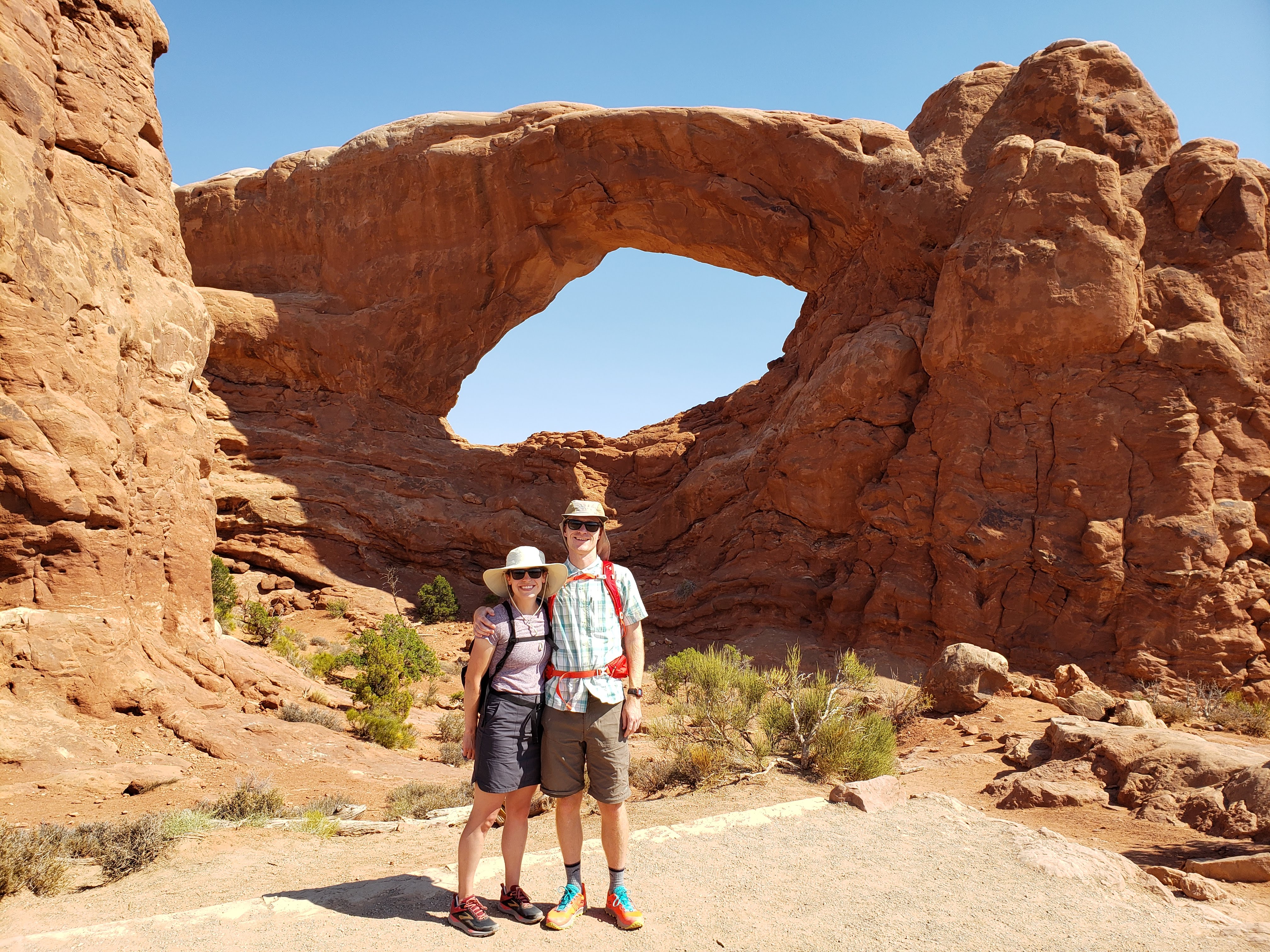
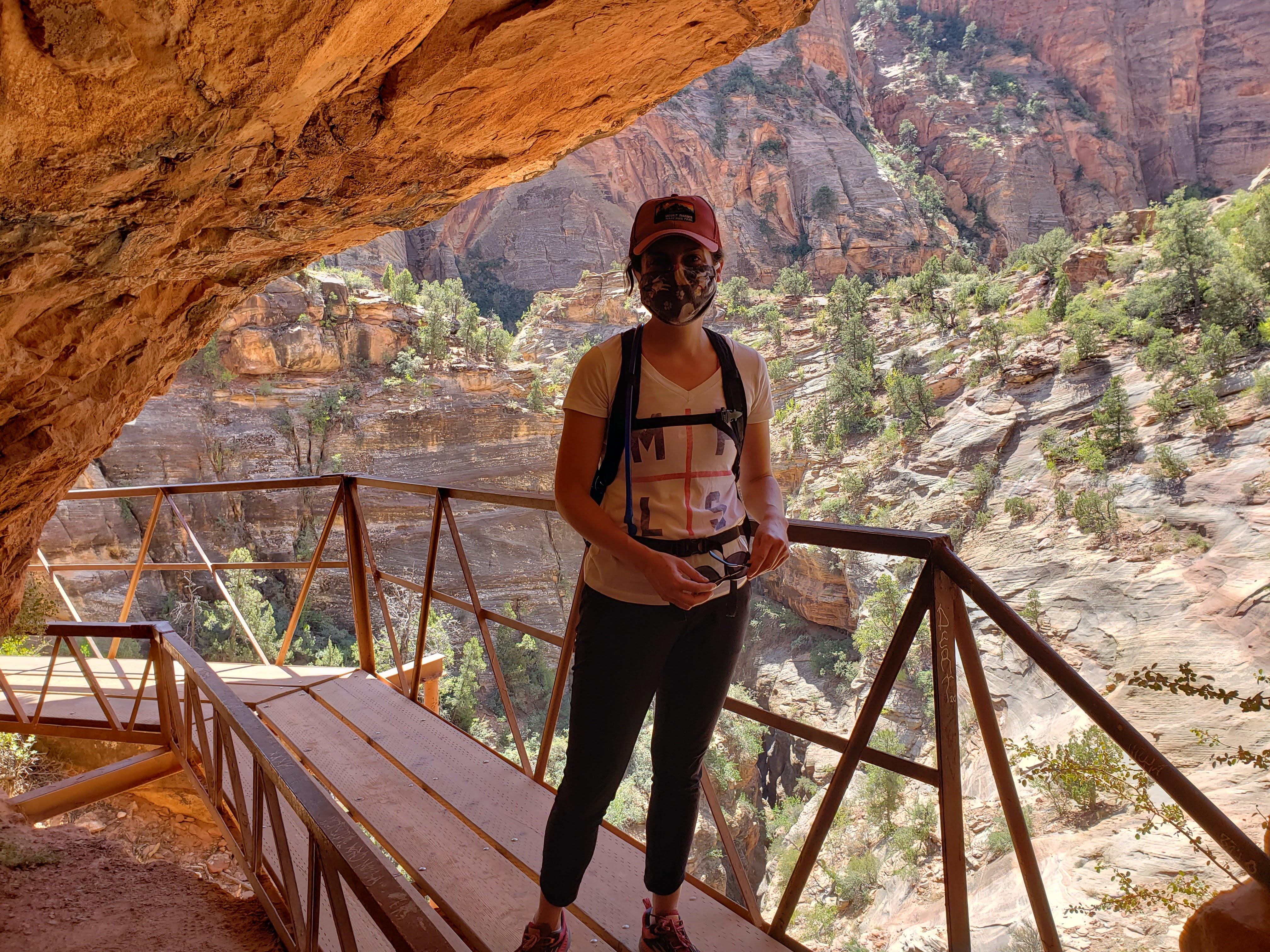
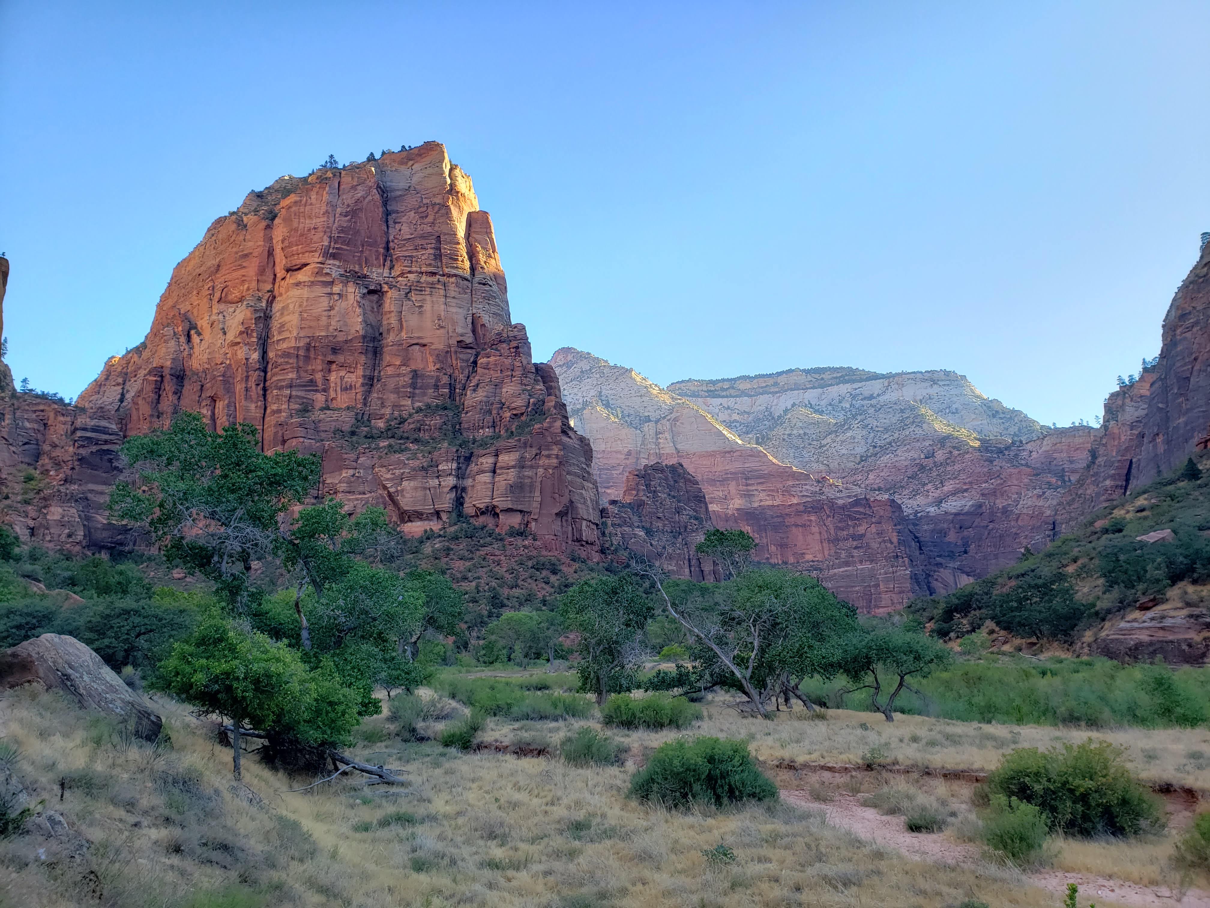
We set an alarm for 6:45 AM in order to catch our 8 to 9 AM shuttle as soon as we could. We arrived just before 8 AM and boarded the shuttle right away. We rode to the Grotto which is the recommended shuttle stop for hiking the Angels Landing Trail. We overheard an employee talk about how the highs were recently over 100 degrees, but then forest fire smoke blocked the sun and it cooled off a bit. Then a cold front came in which brought cooler nights and mornings. We were very thankful of that because with the sun still behind the canyon wall it was actually quite pleasant out. We started the hike with layers on that we quickly shed due to the steep incline of the trail.
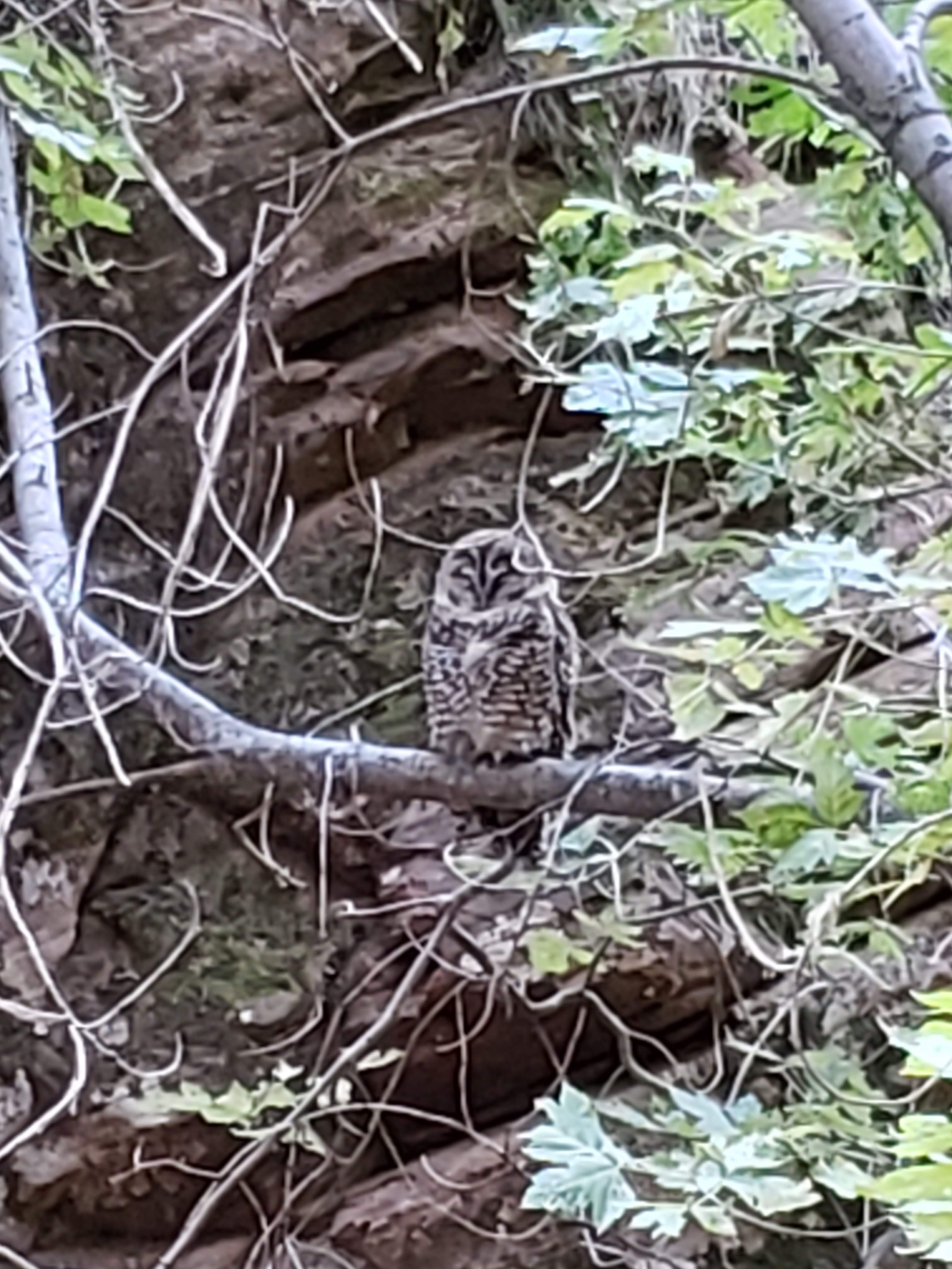
In Refrigerator Canyon (a section of the trail where you enter a small narrow canyon with mostly flat terrain that provides shade and respite from the rest of the hike) we saw a Mexican spotted owl. We had just heard about them at the ranger talk the night before. What a great reason to go to ranger talks! Mexican spotted owls are threatened and a rare sight to see in the wild. It was really cool to see one just chilling on a branch.
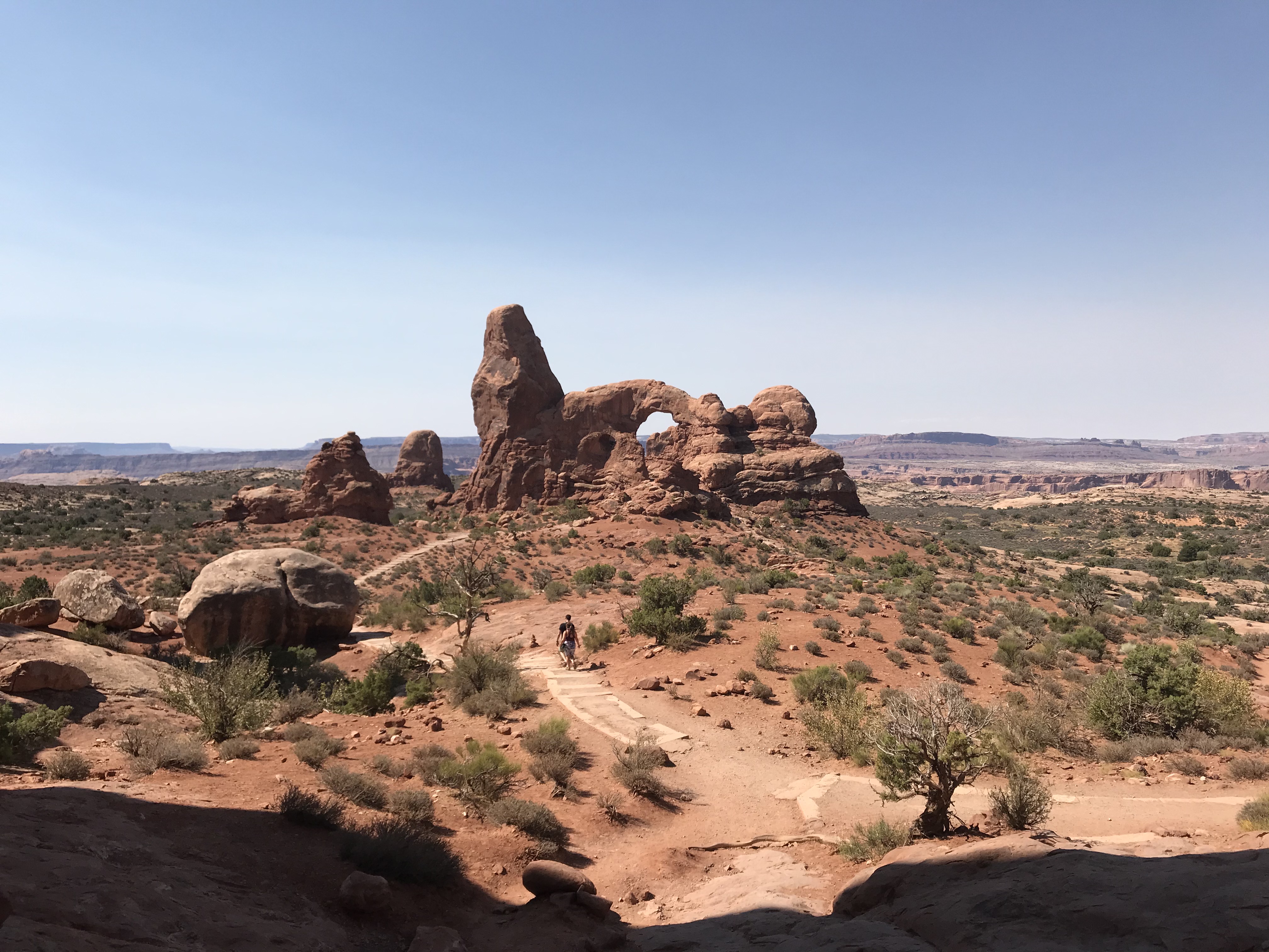
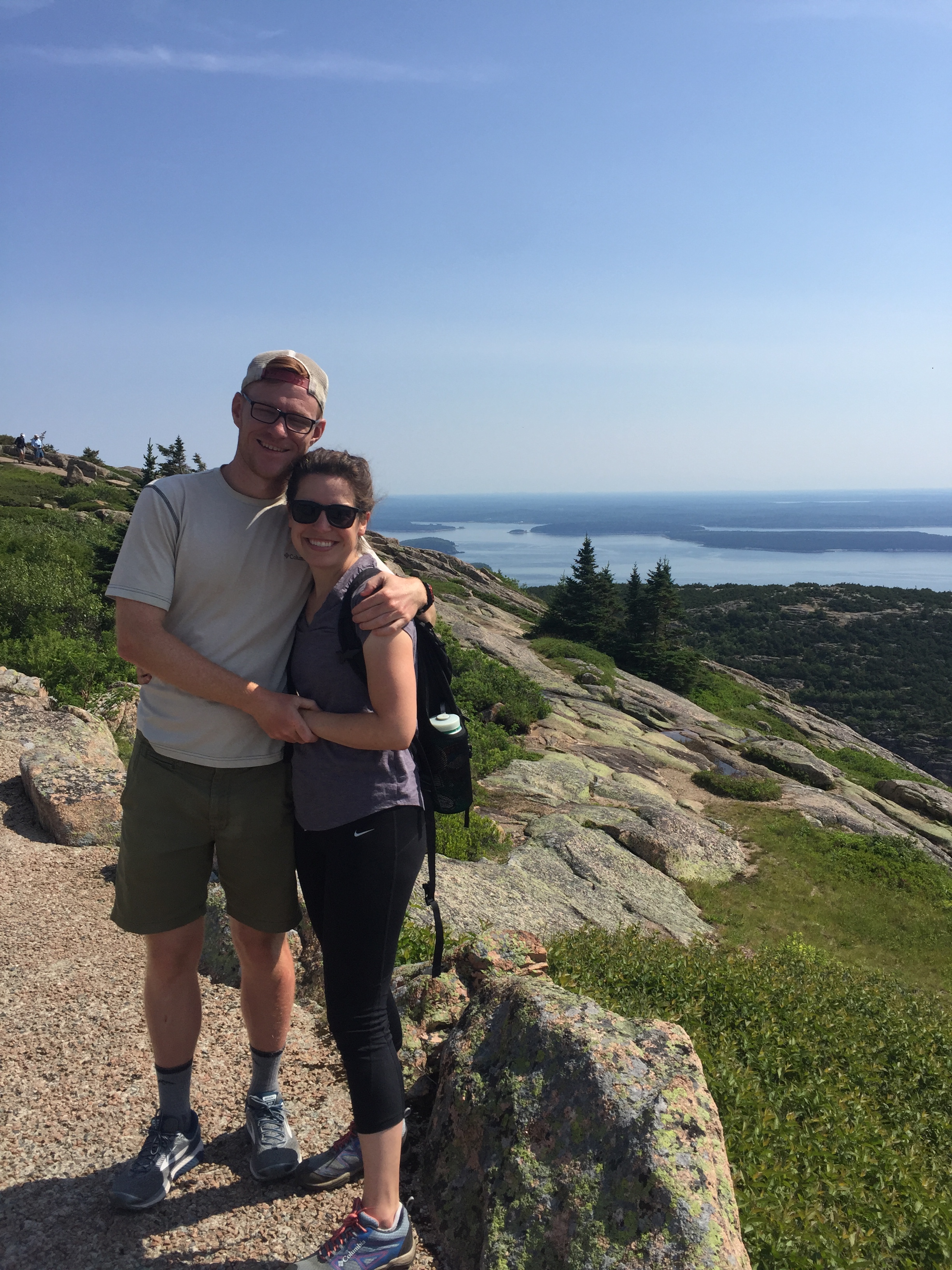
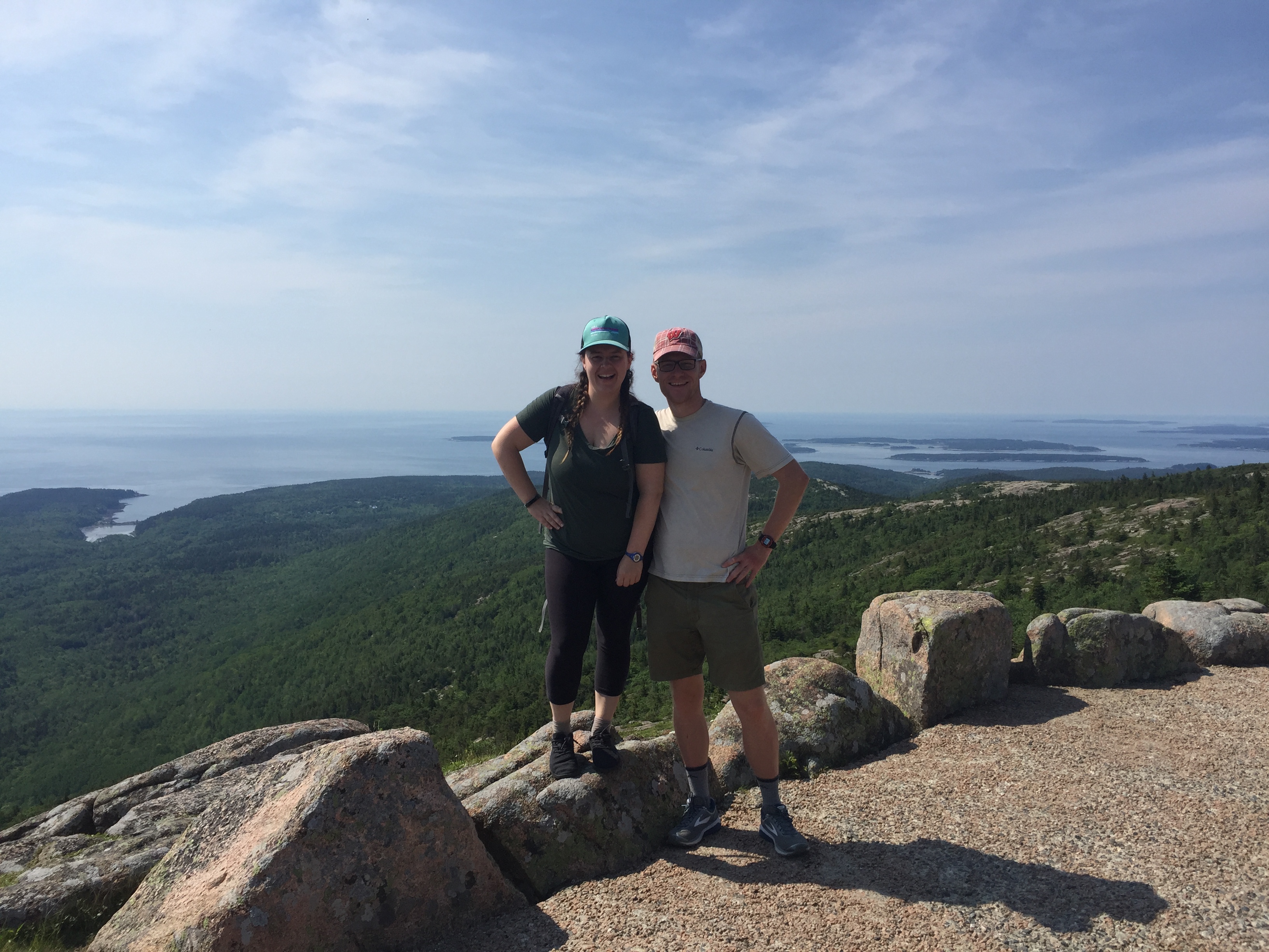
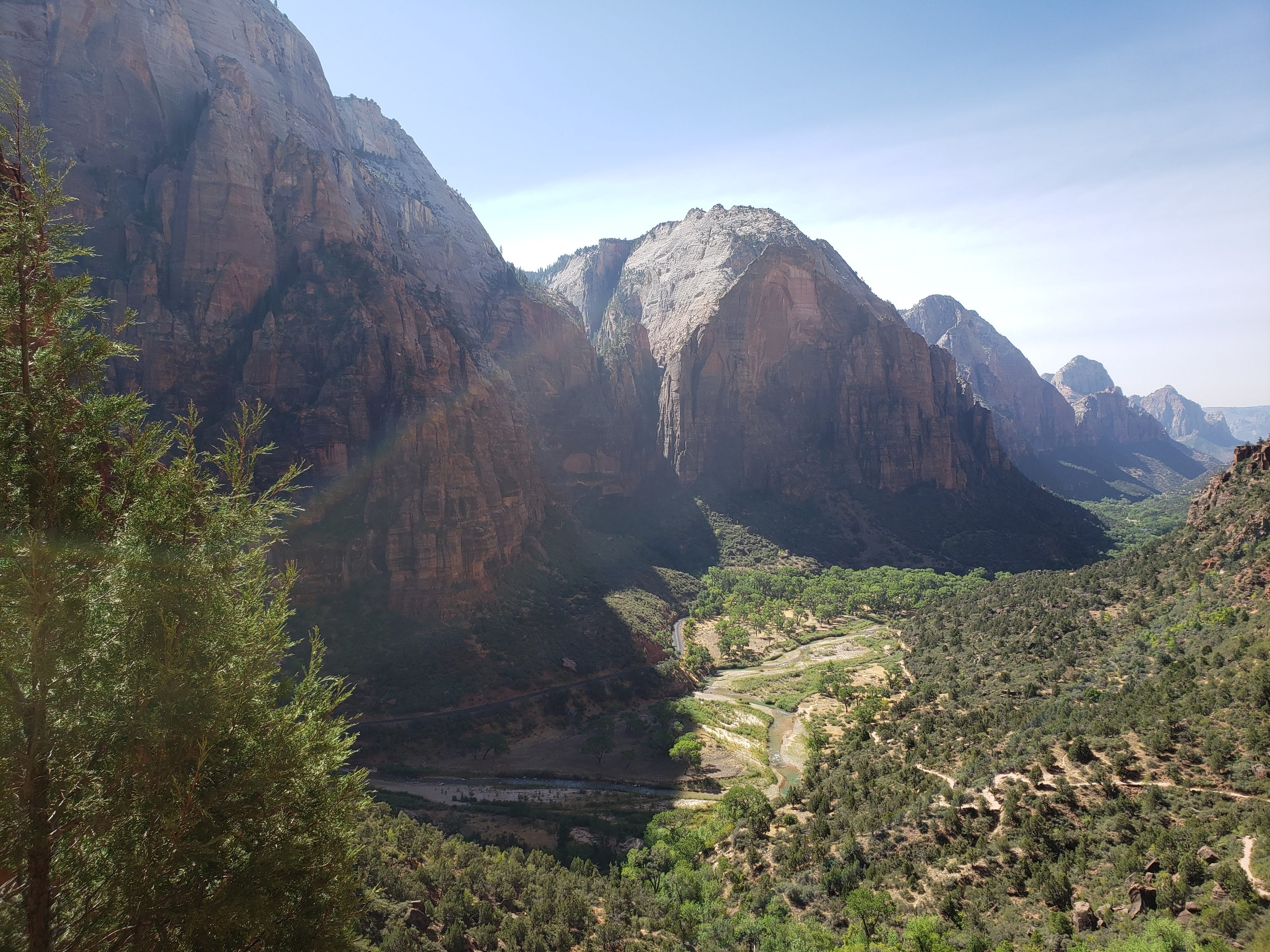
The hike up to Scout Lookout wasn’t that bad. I expected it to be scarier and longer, with steep drop-offs to the side of the trail. I suppose the chain section of Angels Landing would fit that scary criteria, but the hike up was actually quite nice (with a caveat of it being steep and uphill and we did it mostly in the shade in the cooler early morning temperatures—I would not hike it midday). A fun feature of the hike was Walter’s Wiggles—21 switchbacks that take their name from Zion National Park’s first superintendent.
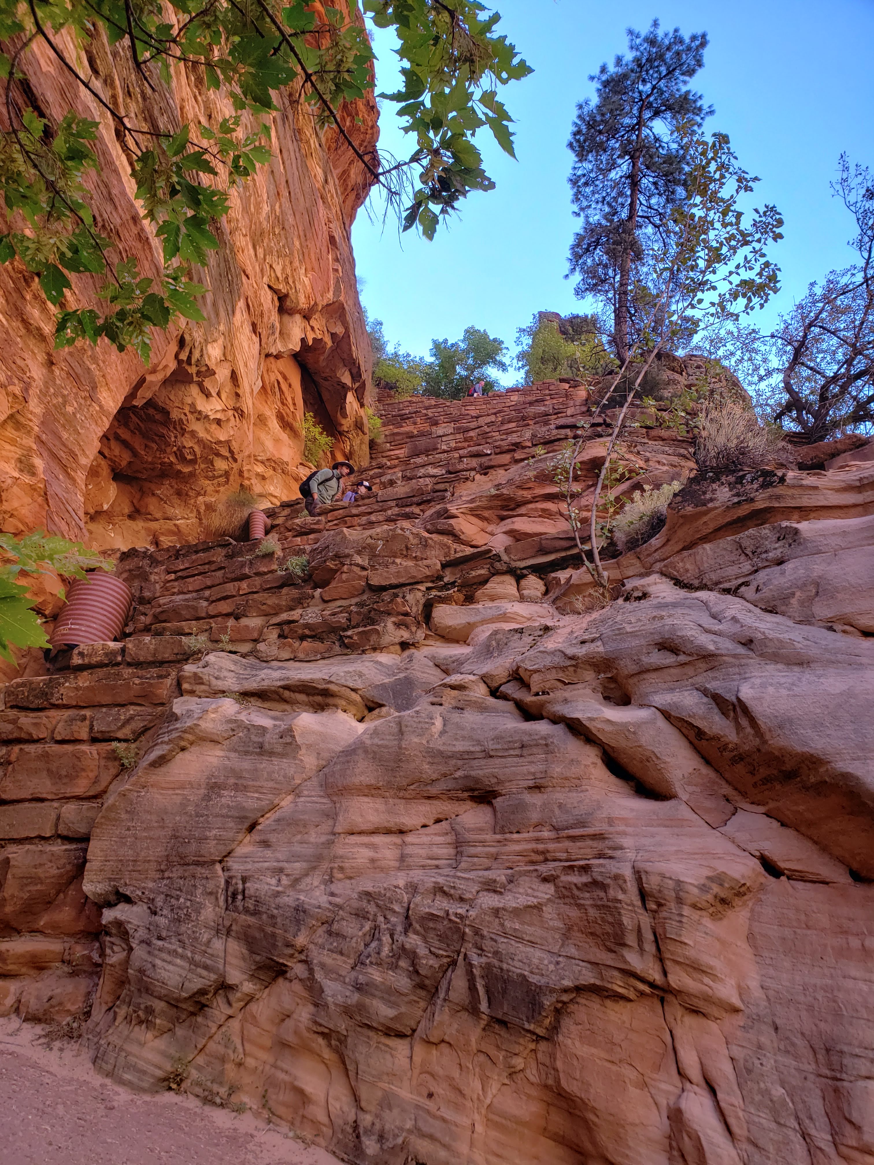
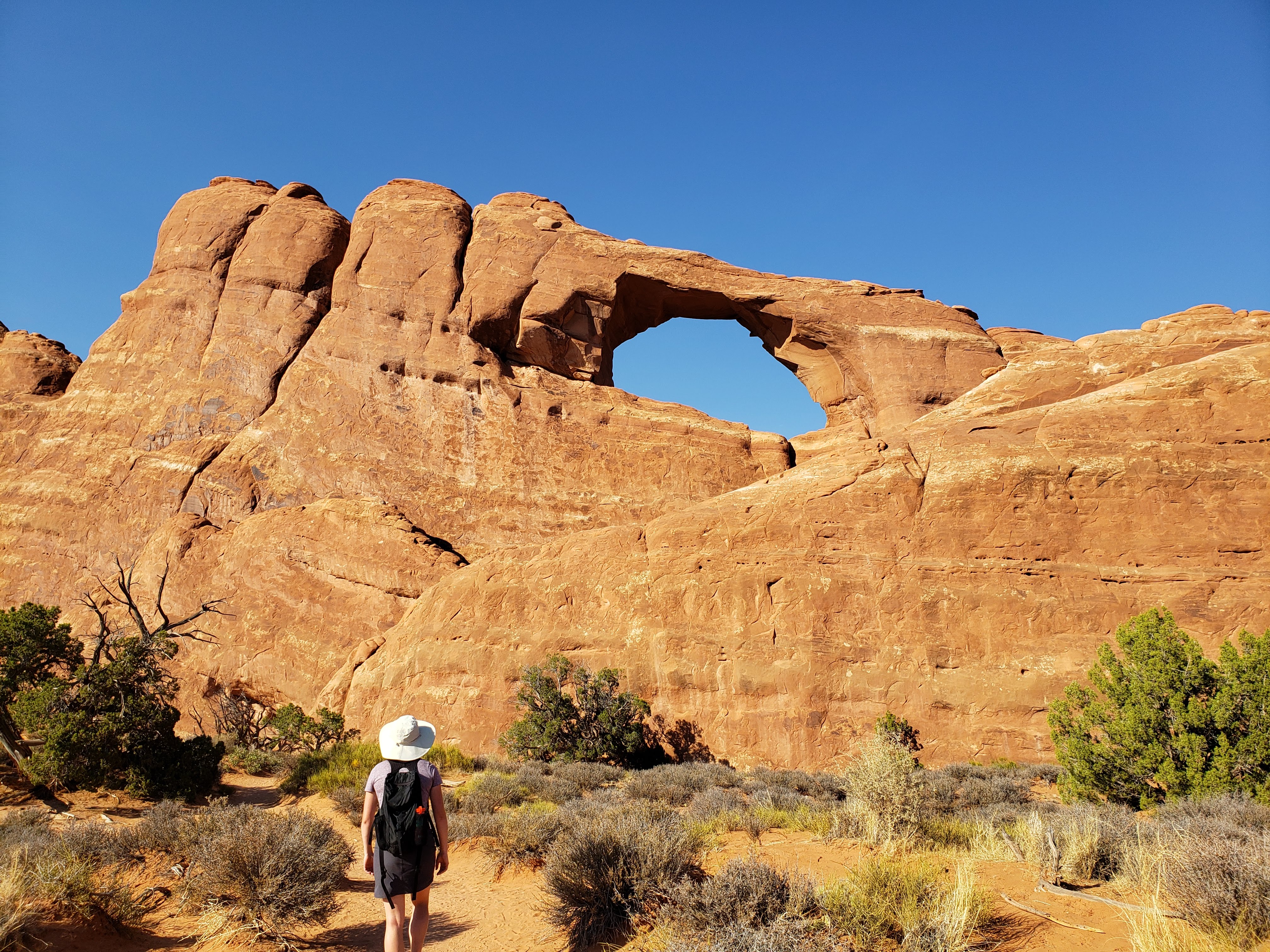
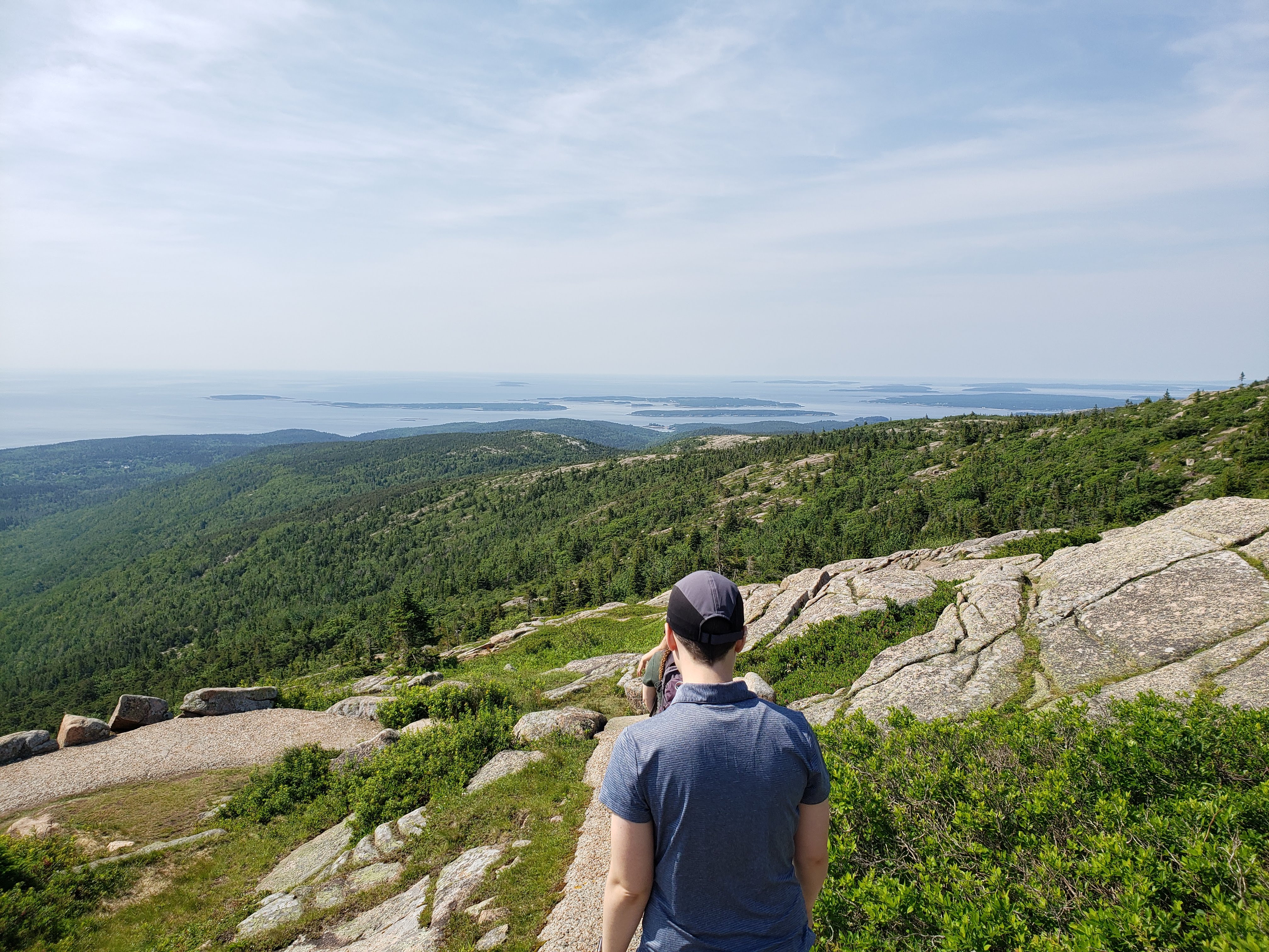
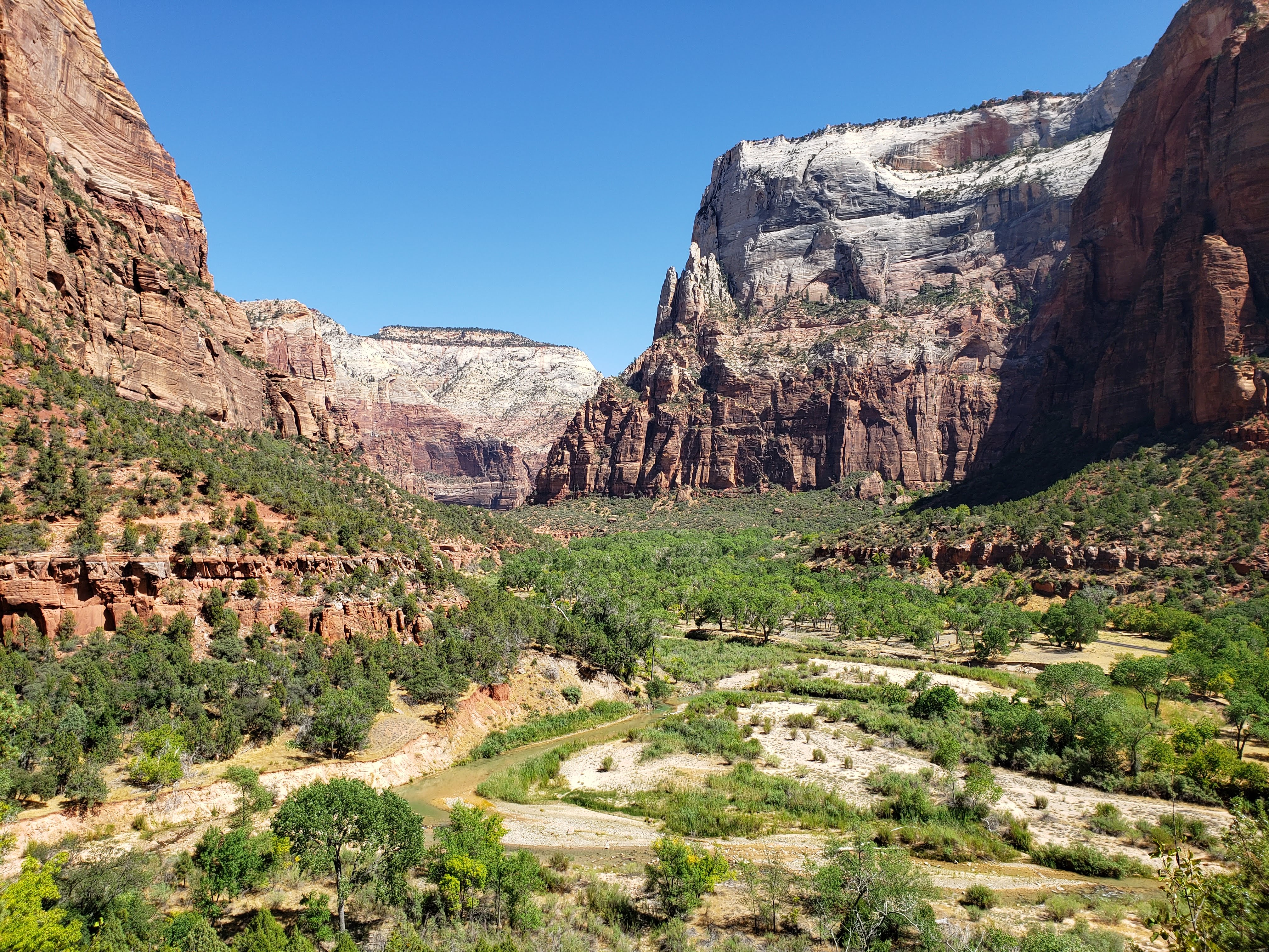
We got to Scout Lookout and saw what we knew already, that Angels Landing was closed. There was a park volunteer stationed by the entrance to the chain section to stop anyone from breaking the rules and climbing Angels Landing. We overheard the volunteer mention times where he had to call the park police on people that sneaked out onto Angels Landing. The punishment involved a hefty fine and a ban from National Parks. On the landing designated as Scout Lookout there was a decent amount of people. It was obviously the place to have a rest and take in the beauty of Zion Canyon. There was also a toilet, just in case.
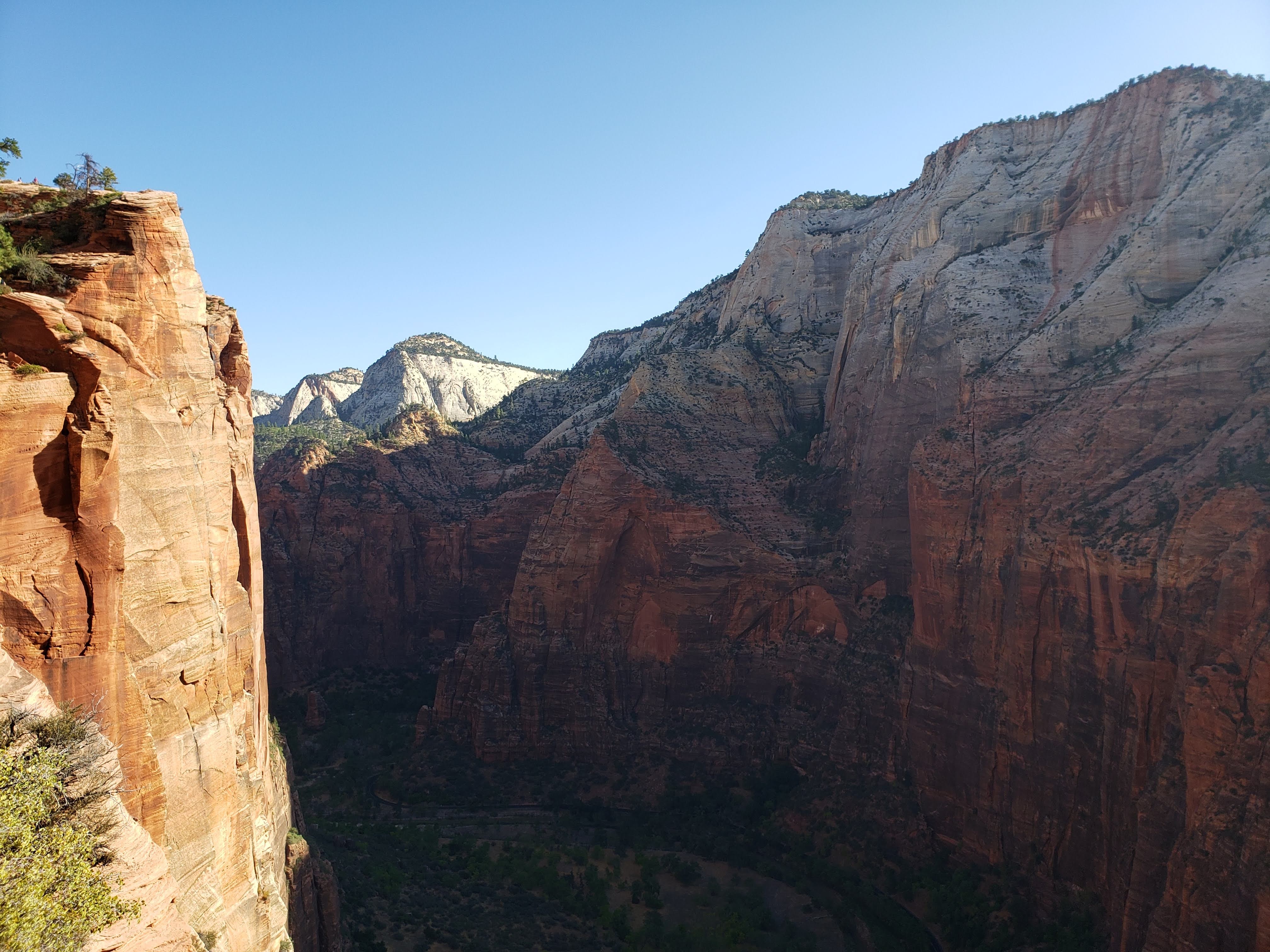
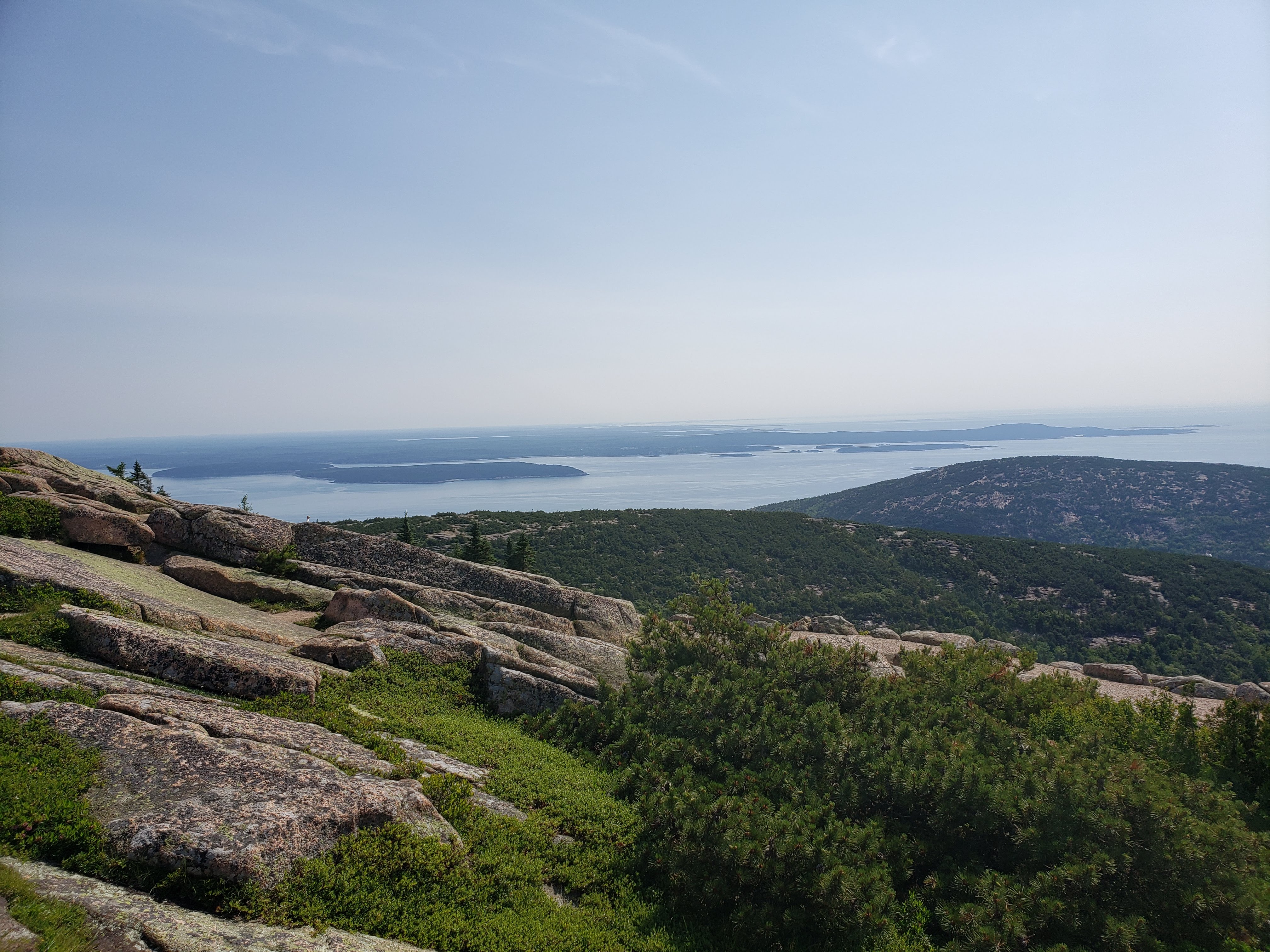
We decided to continue hiking up the trail that would eventually lead to the top of the west rim of the canyon. This was mostly so we could get away from the crowds but also so that we could get a better view of Angels Landing.

We found a nice place to sit and have a snack. The view was incredible, but I was still a little bummed that we couldn’t climb Angels Landing.

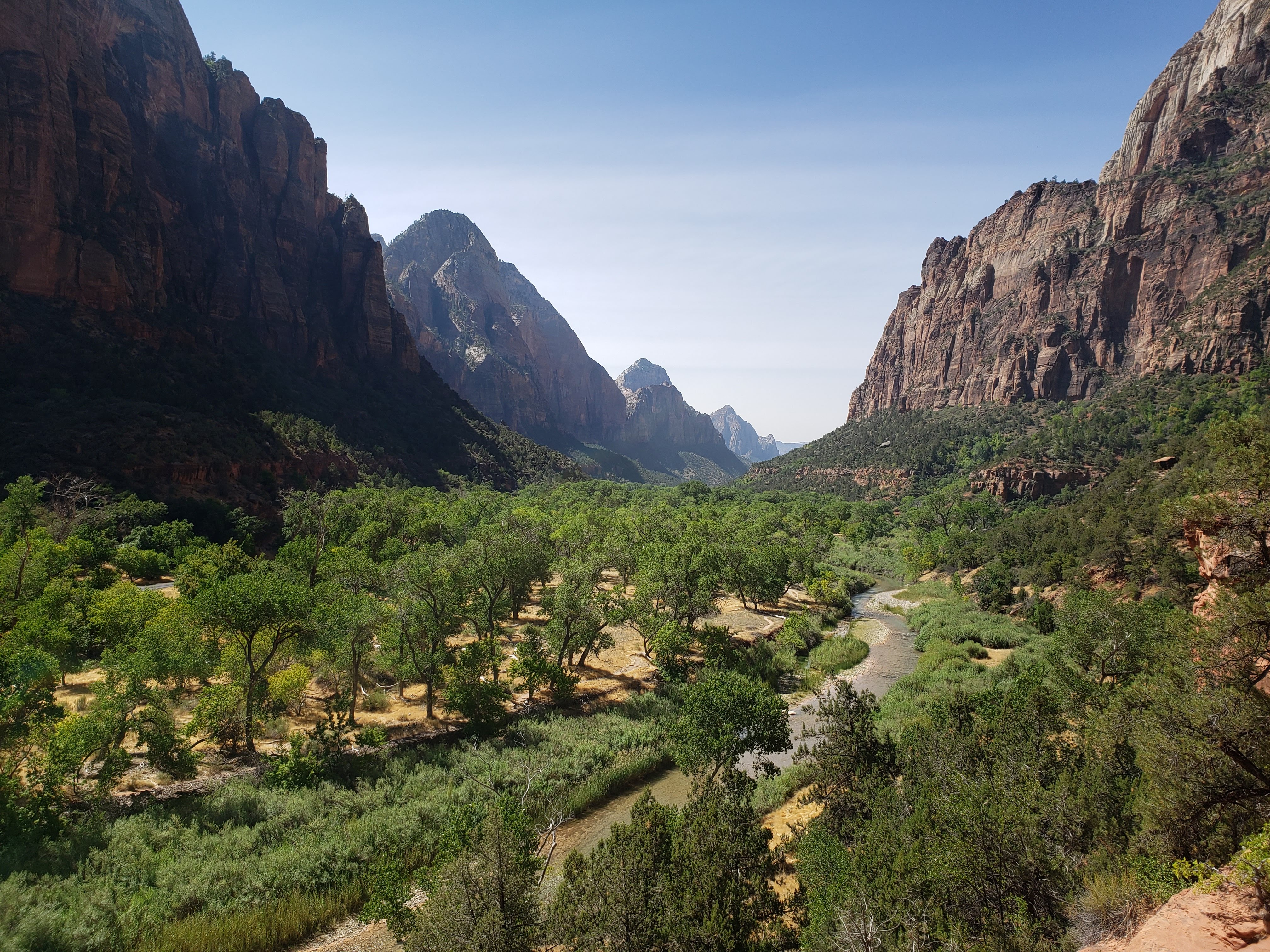
After our break we started hiking back down to Scout Lookout. The views were breathtaking.

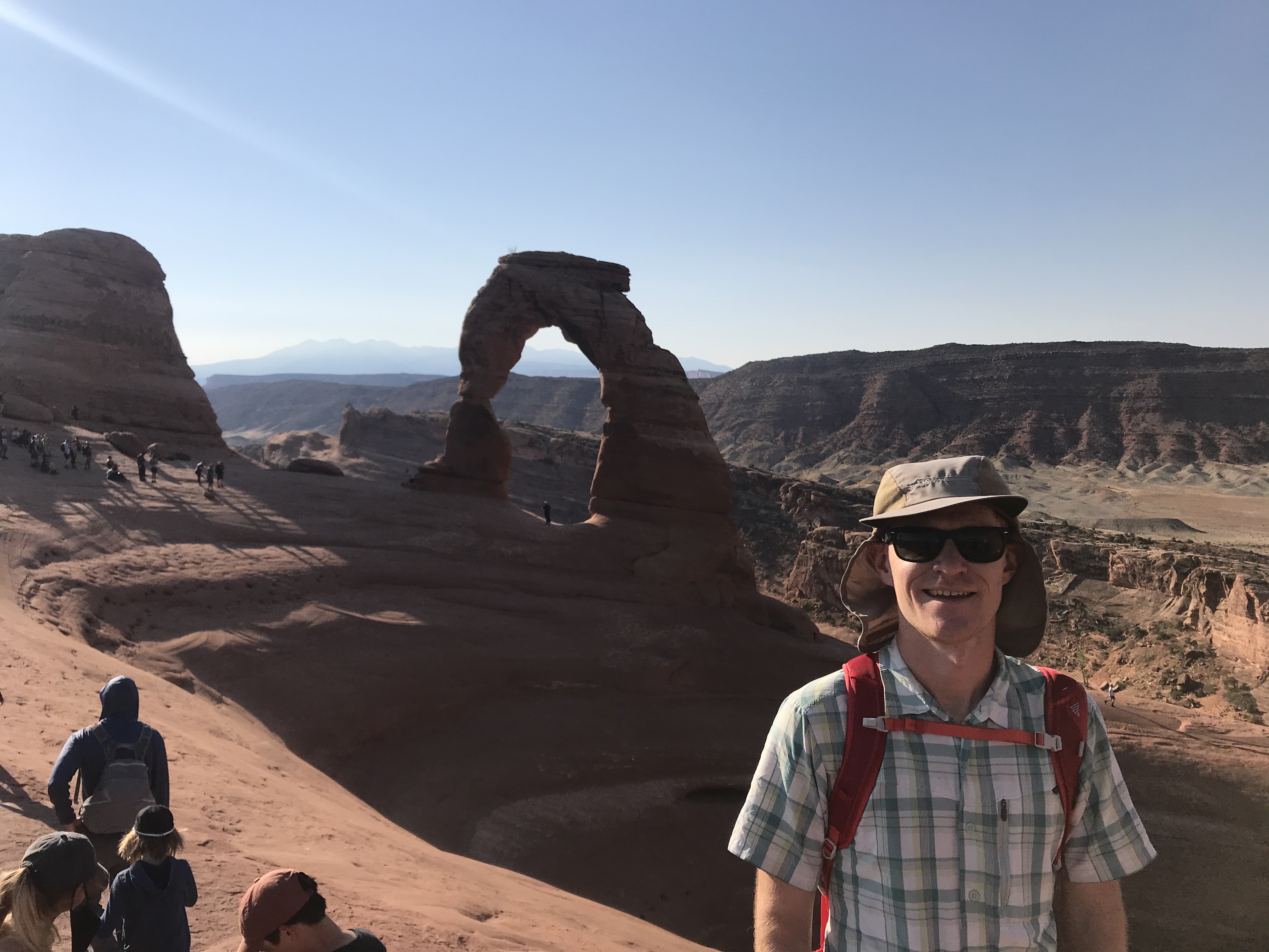
Once we got back down near Scout Lookout we made a quick stop to watch some wildlife. As it turns out, there was a California condor riding the thermals and cruising around Angels Landing. California condors are critically endangered and there has been a program to reintroduce them into the wild. We overheard some man named Justin—who appeared to be a casual tour guide of sorts—telling his party about how this was chick #1000 (if you’re curious, check out this link). Justin mentioned how miraculous it was that the 1000th California condor chick was born in Zion National Park near Angels Landing, one of the most iconic places in the entire National Park system. Also, 2019—when the chick was born—was the 100th anniversary of Zion National Park. Lots of cool stuff about chick #1000. We raced back and forth trying to get photos of the condor as it floated by. Here are a couple photos I took of chick #1000.

After the excitement of chick #1000, we continued hiking back down the canyon. I was taking the downhill very carefully so I didn’t hurt my knee. When we got to Refrigerator Canyon, the Mexican spotted owl was still there (two hours later). Maybe it was taking a morning siesta?
We finished the hike back down. It was heating up and we saw a lot of people just heading out on the trail. Like most popular hikes, it’s best to get an early start at Angels Landing. Here are a couple photos that I took while hiking down that I thought were amazing.
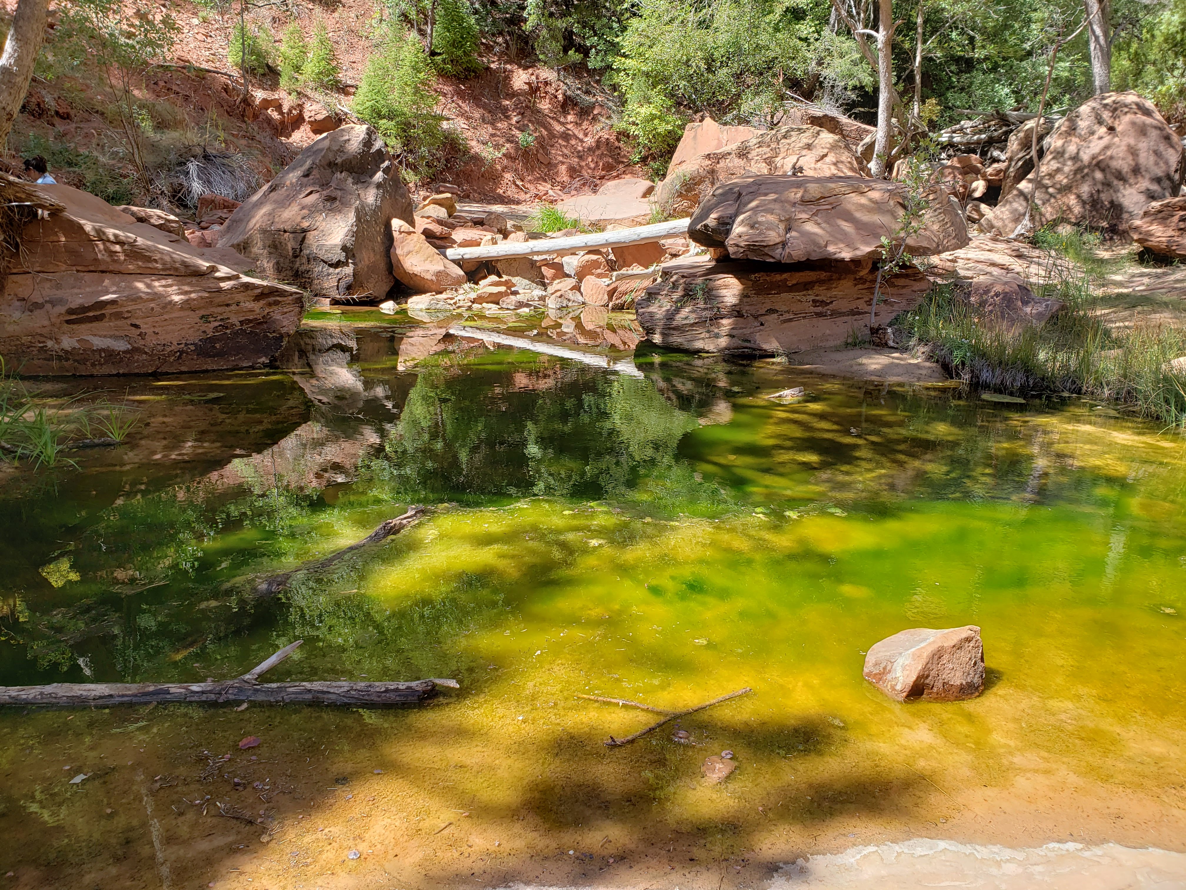
Next we hiked the Emerald Pools loop via the Kayenta Trail. I have to say that the pools were not all that emerald-y or pool-y. The park didn’t have its normal monsoon season so that may have affected the water levels in the Emerald Pools. We had lunch at the Middle Emerald Pool and then hiked to the Upper and Lower pools.
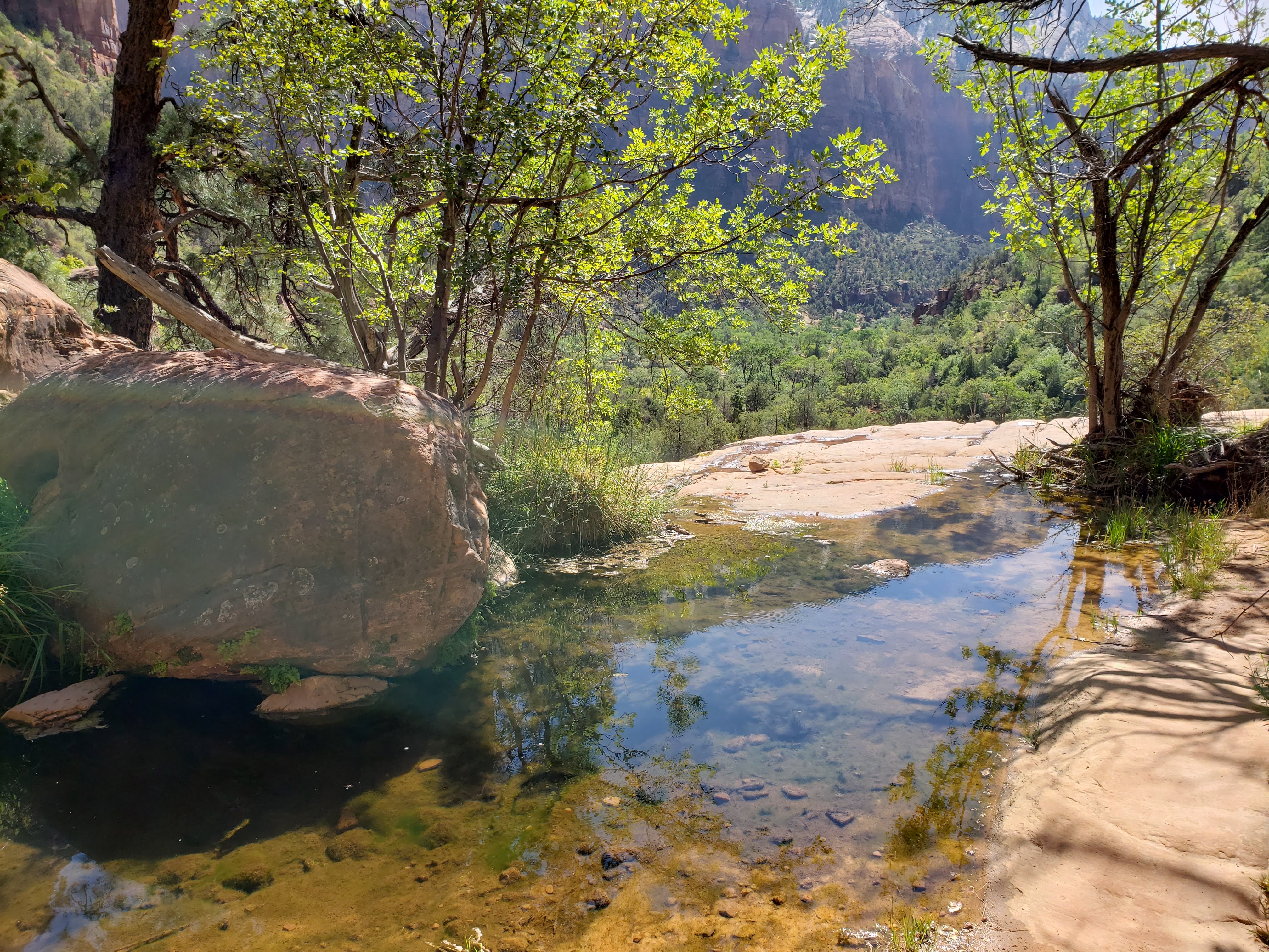

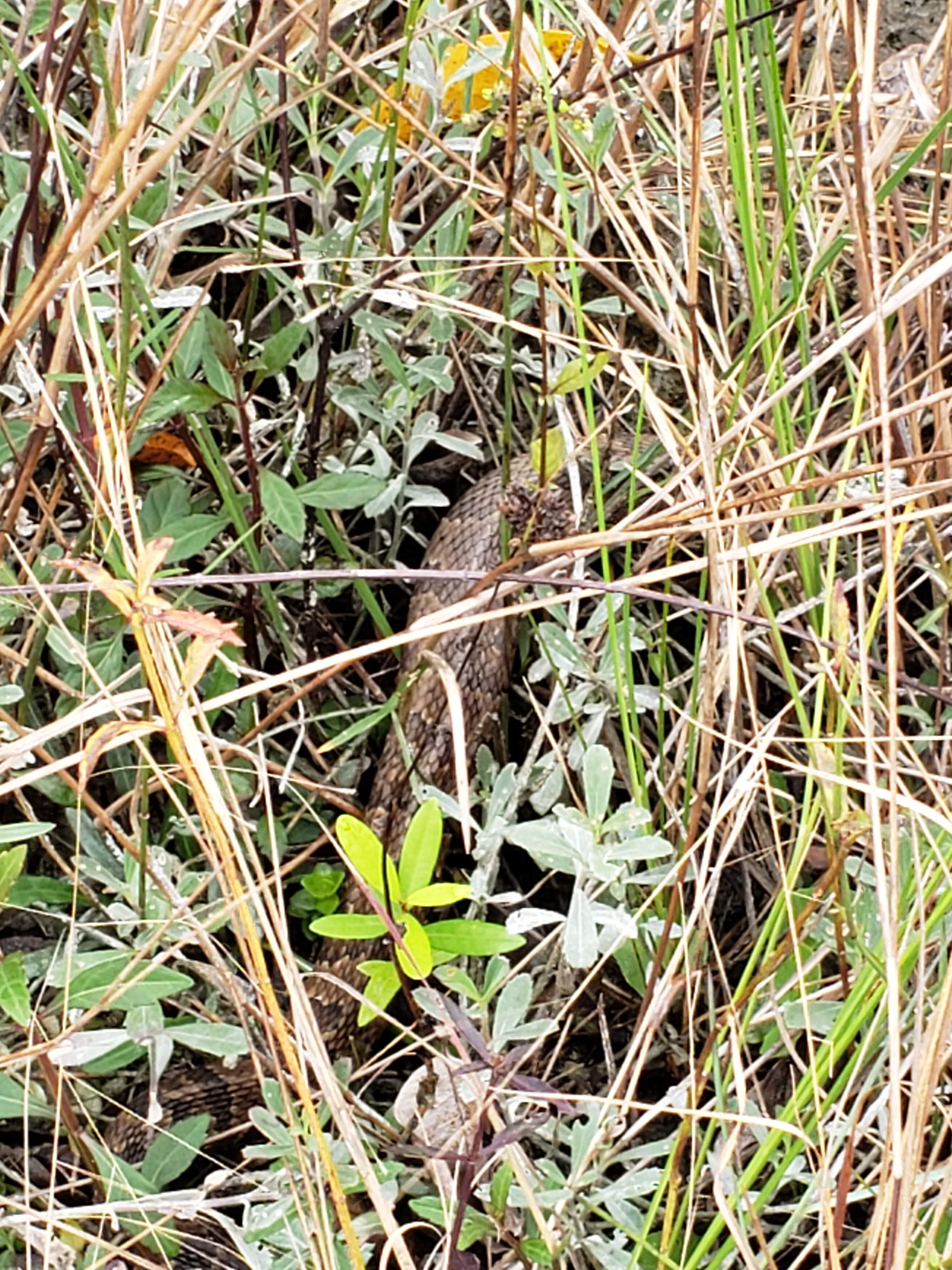
We finished the Emerald Pools loop and started on the Sand Bench Trail. This trail was not recommended by the ranger because it’s a sandy horse trail with lots of exposure. We didn’t see any horses on the trail—just in the horse corral at the start. The trail was sandy but not too bad. We also had an interesting encounter with a snake on the trail as we watched it awkwardly retreat with a lizard dangling from its mouth. It probably thought we wanted to steal its lizard snack.
We decided to take a cutoff from the Sand Bench Trail towards the Court of the Patriarchs. We were starting to heat up and the trail didn’t seem to have any more good views beyond what we had already seen.
Taking the trail cutoff brought us back to the park road and the Court of the Patriarchs shuttle stop. The shuttle was not stopping at this location due to COVID restricted scheduling. We did the overlook hike at the shuttle stop. The views were pretty good. We hiked back down and then walked along the side of the park road back to the Zion Lodge.
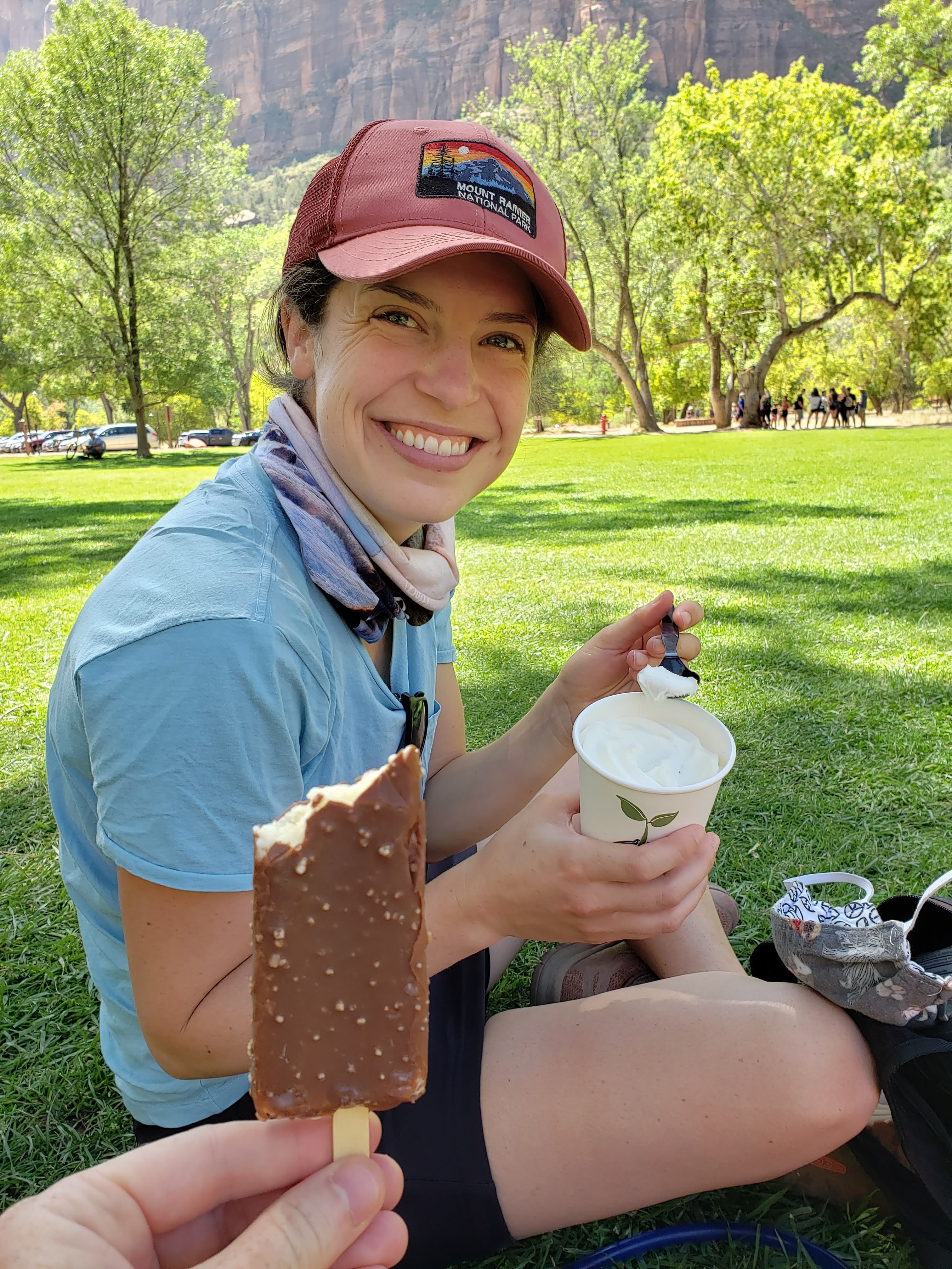
Back at the lodge we filled water bottles and got a treat. I got a Crunch bar and Leah had to settle for vanilla soft serve in a cup (they were out of ice cream cones and chocolate soft serve). We found a nice shaded and grassy spot under a large tree and ate our dessert. Leah had me finish her soft serve—she said chocolate or twist would have been better.
We poked around the store at the Zion Lodge for a little bit and then started the Grotto Trail. The trail eventually brought us back to the Grotto shuttle stop which was where we were going to catch a ride back. There were a lot of other groups at the shuttle stop that were confused about the policy which required you to keep your original shuttle ticket to board on a return trip. I read the rules and was prepared so there was no confusion for us.
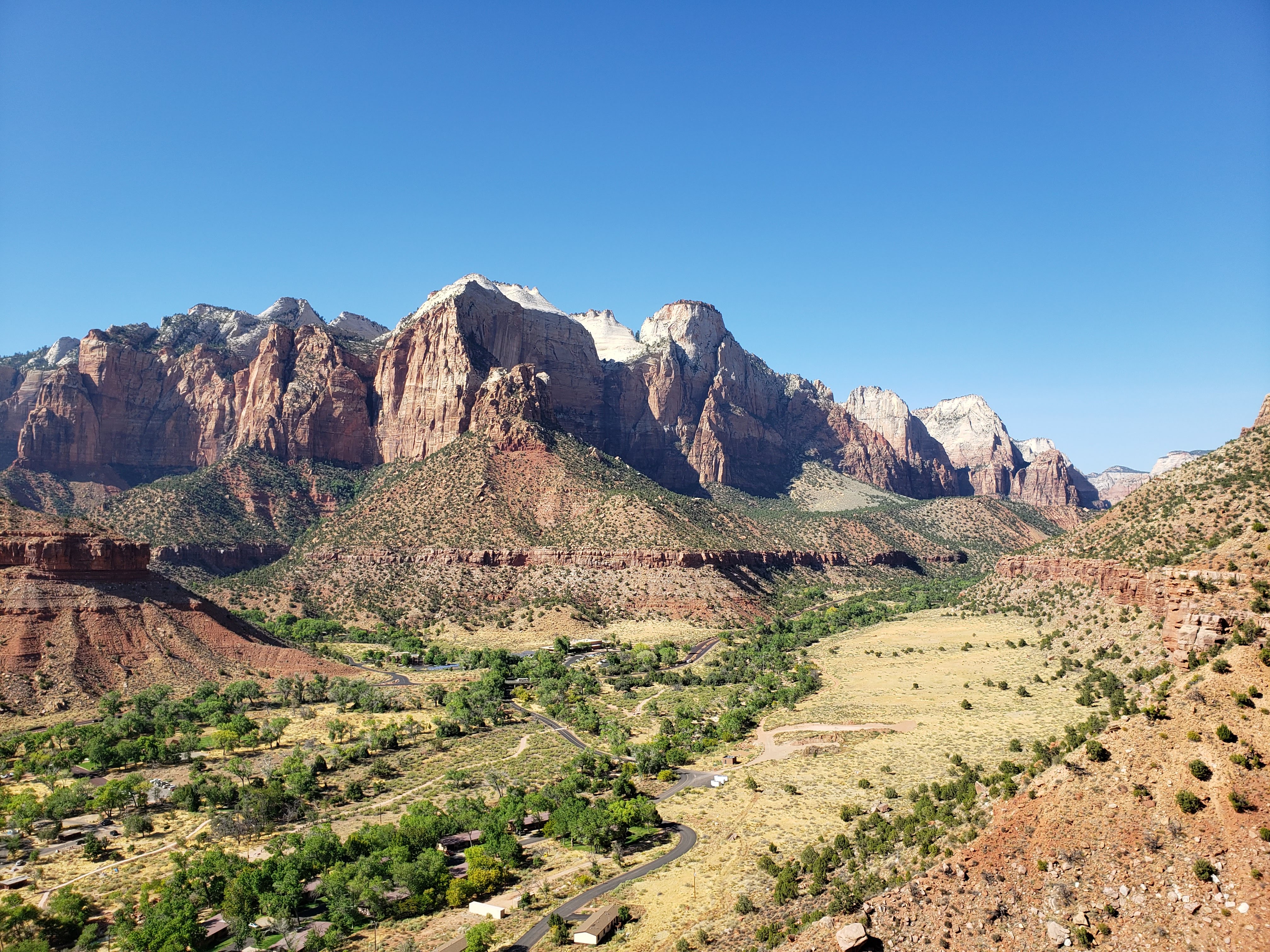
We rode the shuttle back to the visitor center and I caught a couple of Zs. From the visitor center we started the Watchman Trail. The hike had some really good views of the town of Springdale and the lower canyon.
By this point in the day it had gotten very hot. The sun was directly overhead and there was no shade. We were also starting to feel the miles as we had already hiked a bunch that day. We were both ready to relax back at the campsite.

We hiked back to camp and drank beer and ate snacks. We did a little reading and postcard writing while lounging in the shade. For dinner we made a Pad Thai freeze dried. At 8 PM we walked to the campground amphitheater for another ranger program. The program that night was about bugs and it was very interesting—though I would love pretty much any ranger program. We also learned that the Labor Day weekend numbers that year at Zion NP were only 1,000 fewer than the year before (which is a drop in the bucket for a park like Zion). It was obvious that the pandemic had not deterred National Park travelers.
After the ranger program, we headed back to our campsite and went to bed. I set my alarm for 6:20 AM because we had 7-8 AM shuttle tickets for the next day.
Total miles hiked: 13.3 Weather: Highs in the 90s, cool in the morning
Day 9 – Zion National Park
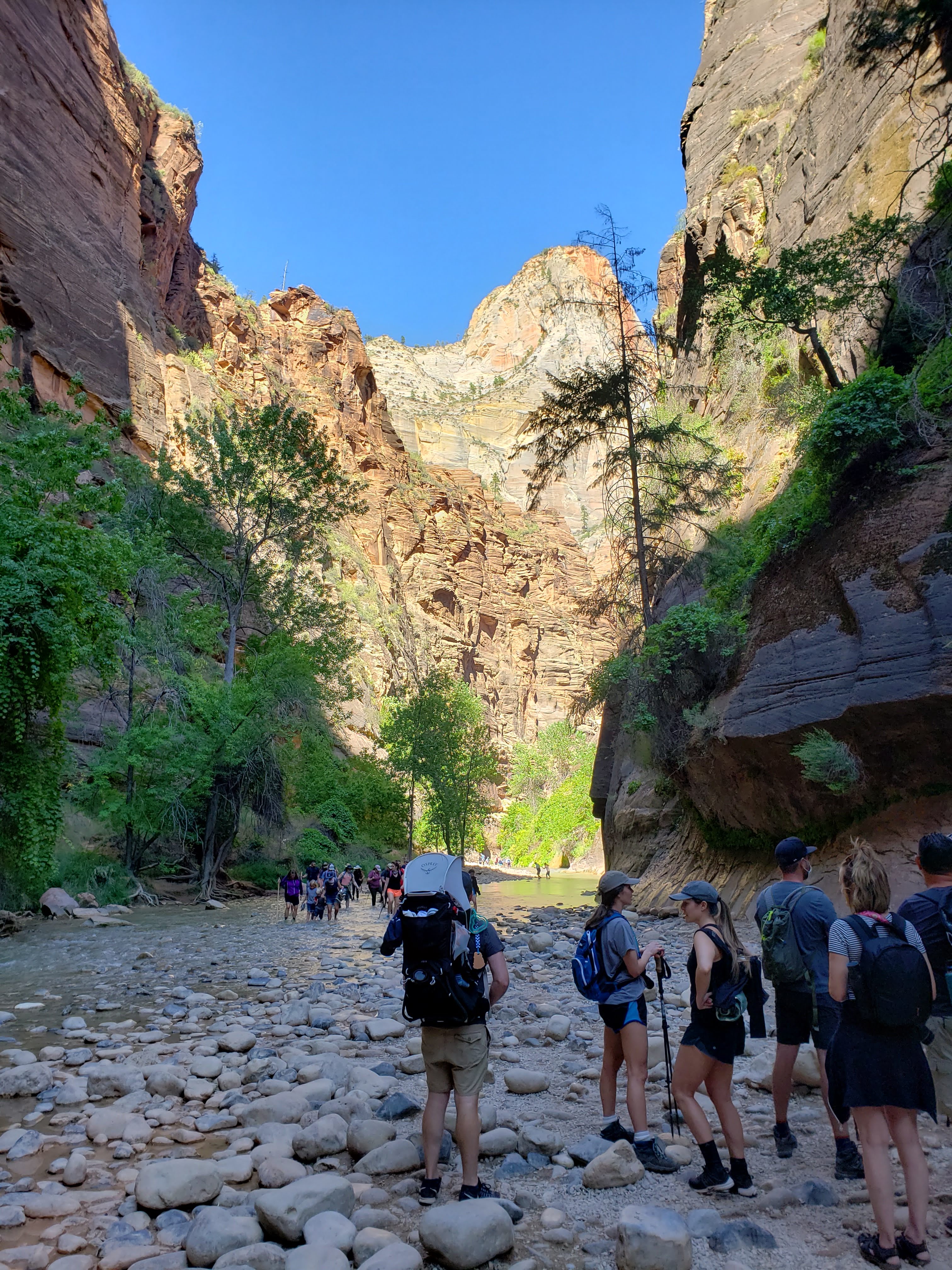
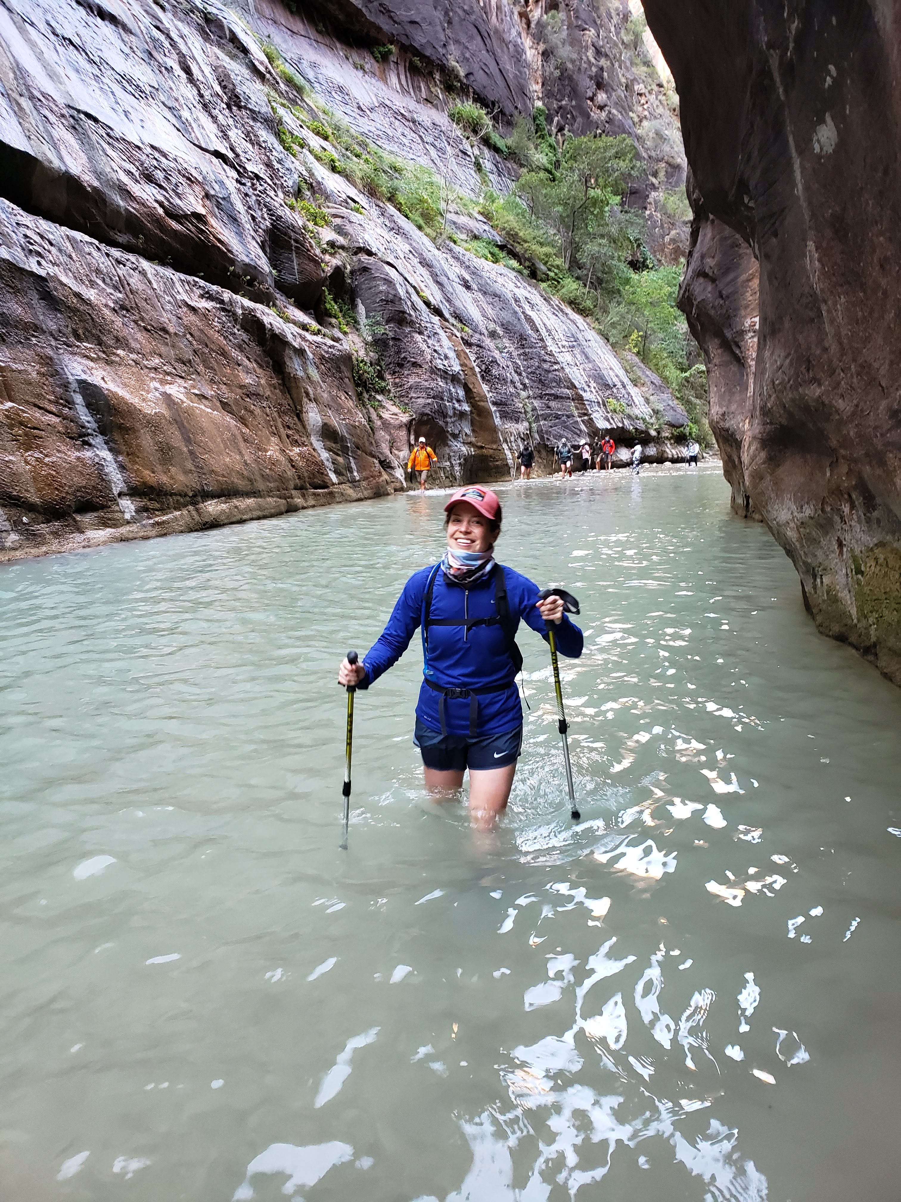
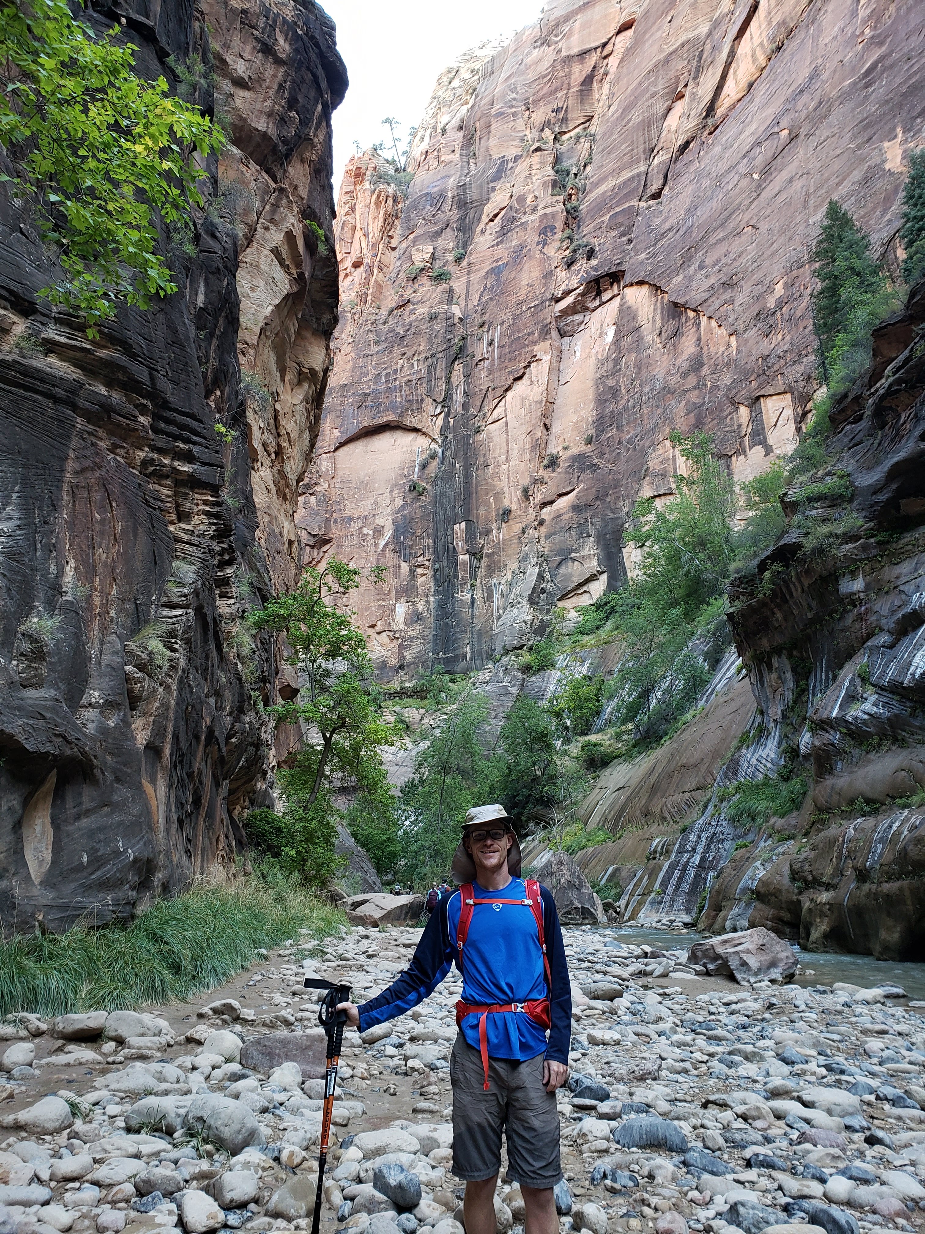
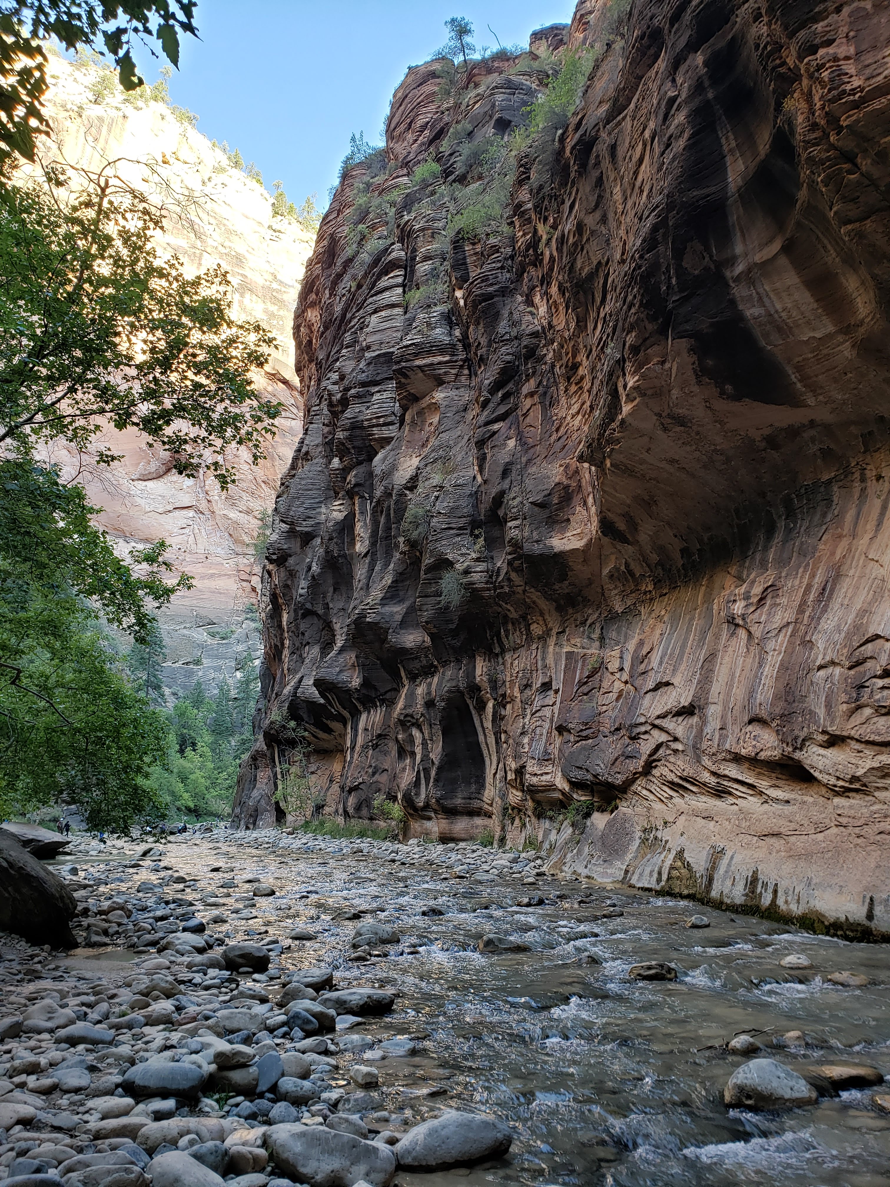
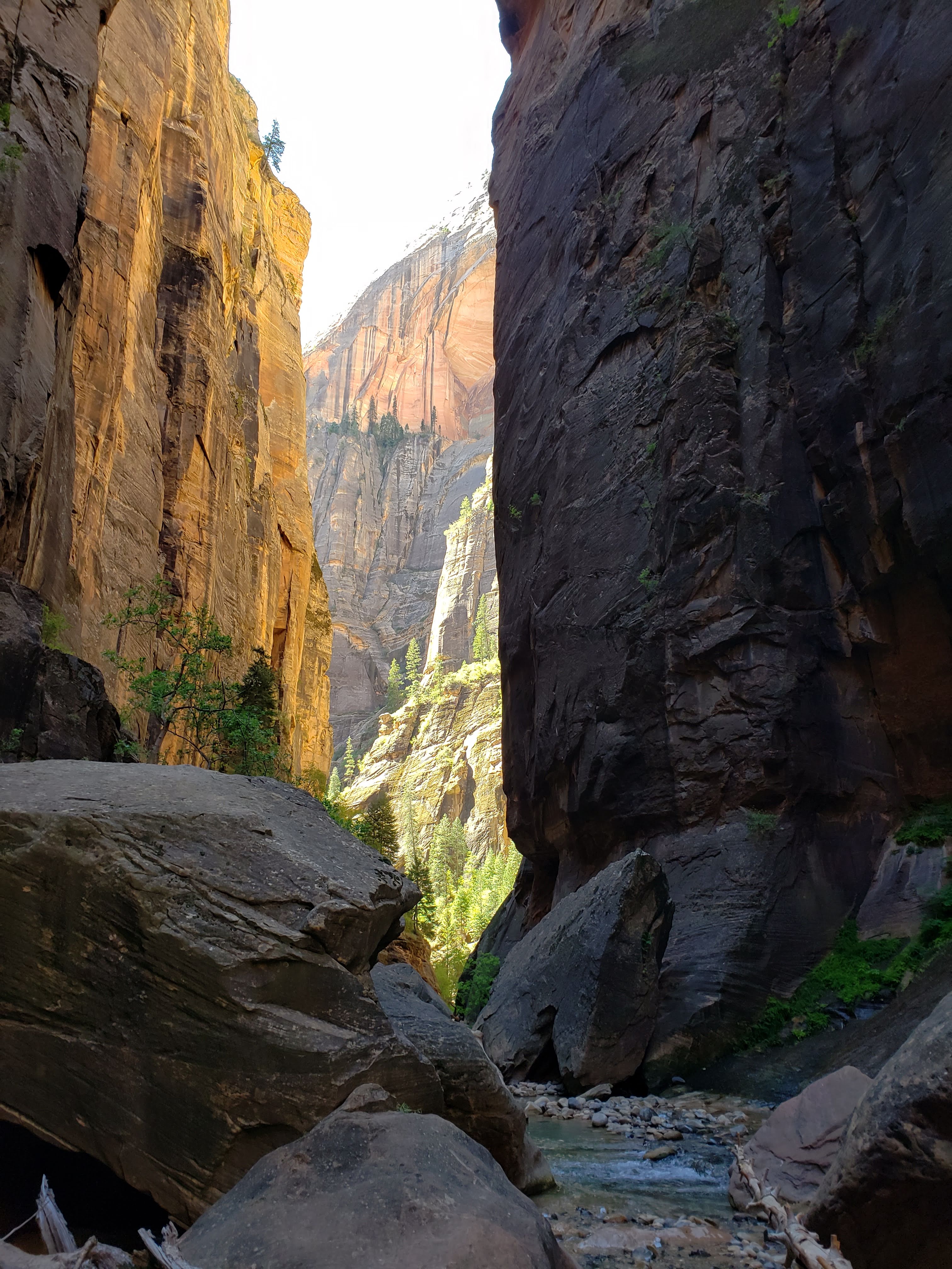
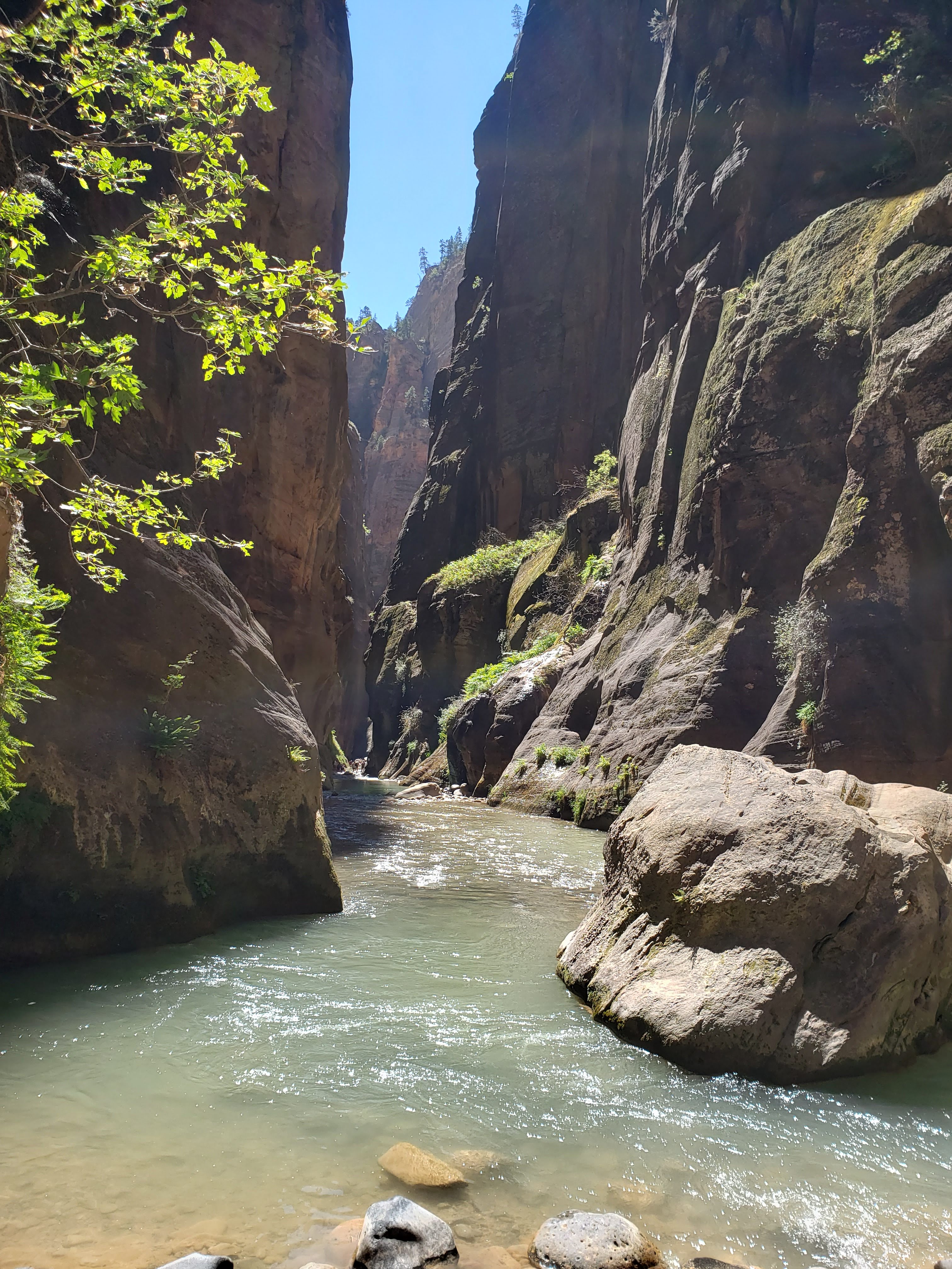
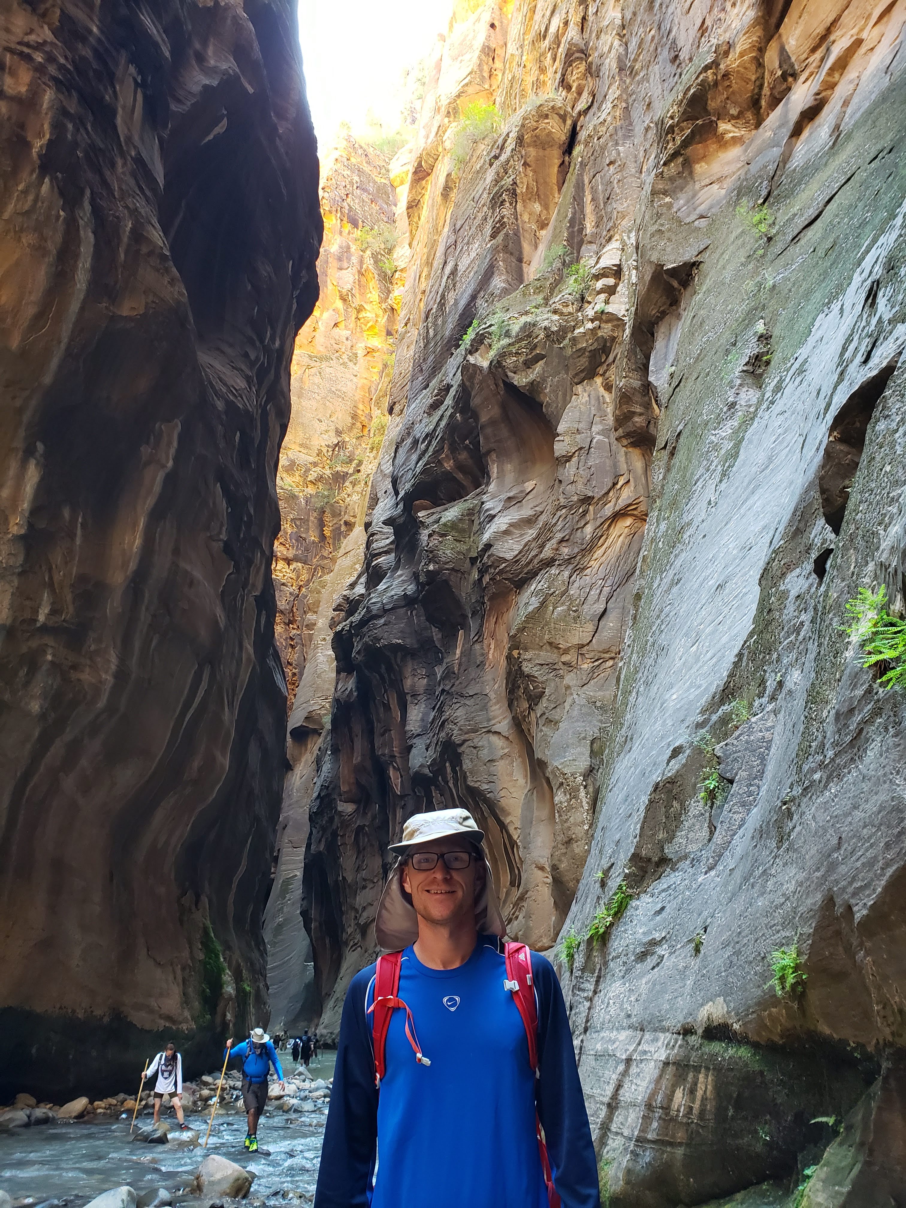
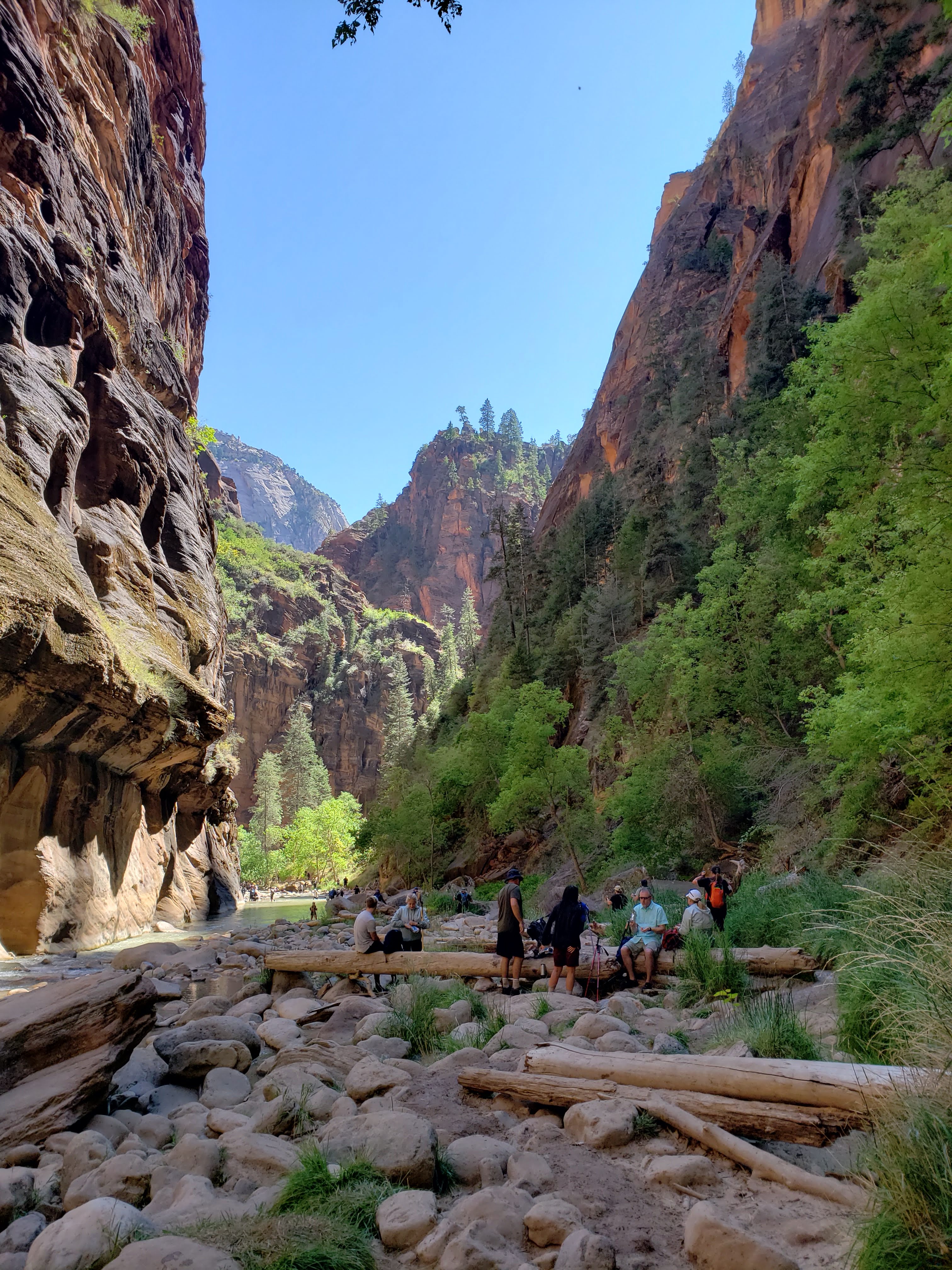
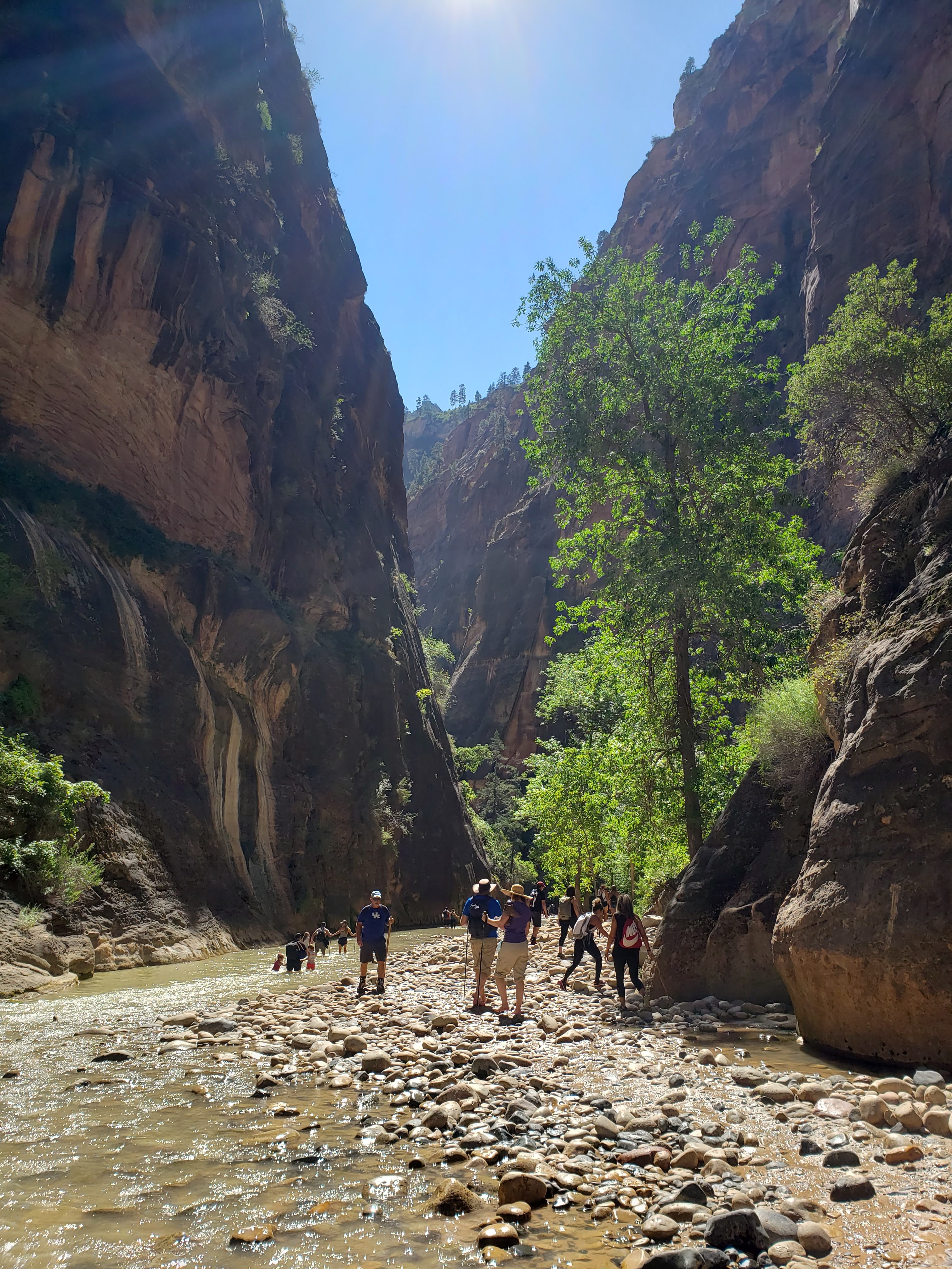
I overslept my alarm due to earplugs—I think. We ended up waking up 20 minutes later than planned. We made breakfast and prepped peanut butter and jelly sandwiches for the day. Our tickets were for an hour earlier than the day before but we only got to the shuttle about 15 minutes earlier. We rode the shuttle all the way to the last stop—the Temple of Sinawava. We had set aside the entire day for hiking The Narrows. In order to help with stability in the river we brought our trekking poles which were incredibly helpful throughout the day. We were also wearing old running shoes that we brought along specifically for this hike so that we didn’t have to ruin any other shoes while trudging through water all day. We re-walked the Riverside Walk Trail to the start of The Narrows. Immediately after starting the hike, our feet got soaked and stayed that way for the rest of the day.
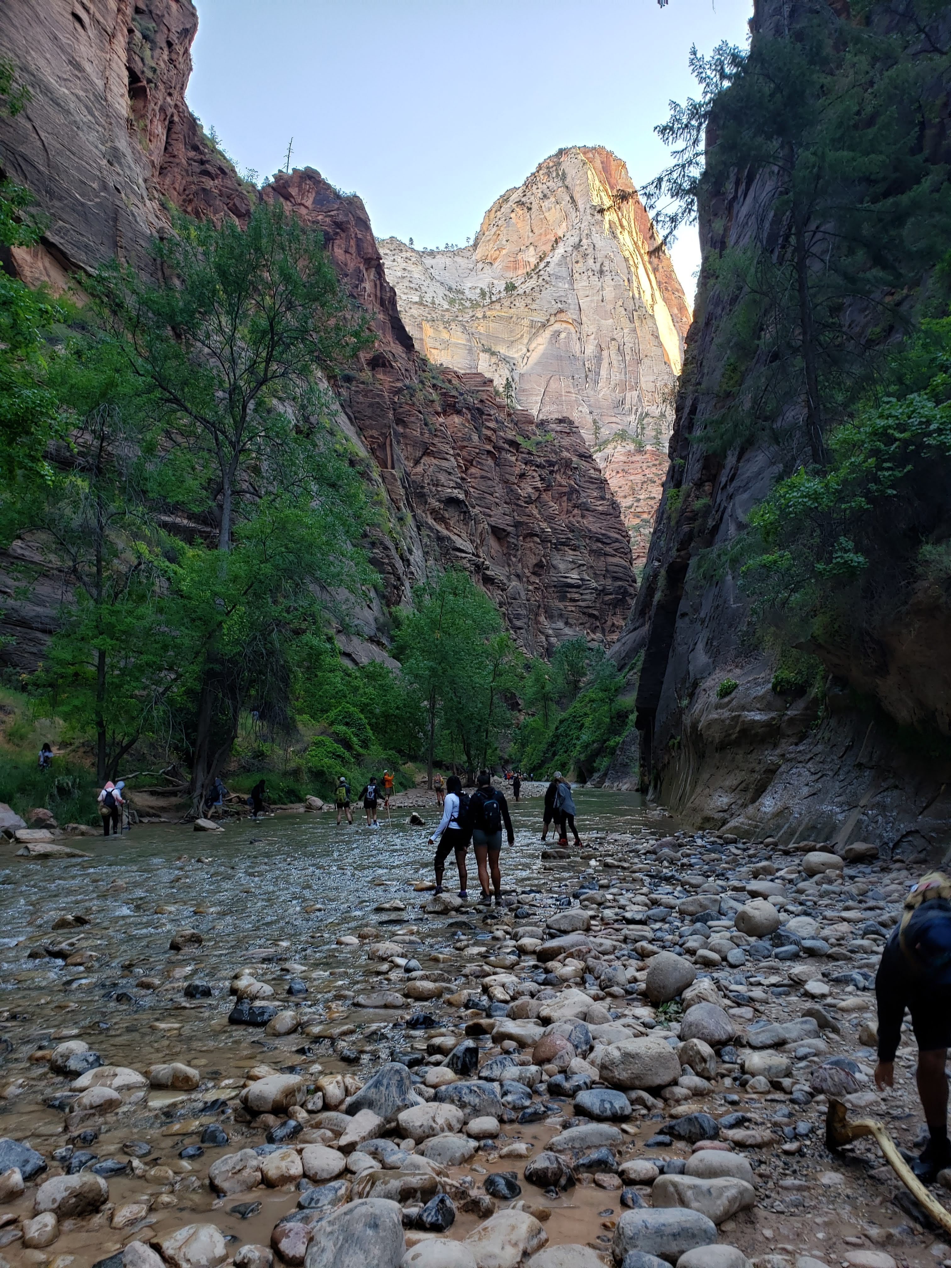
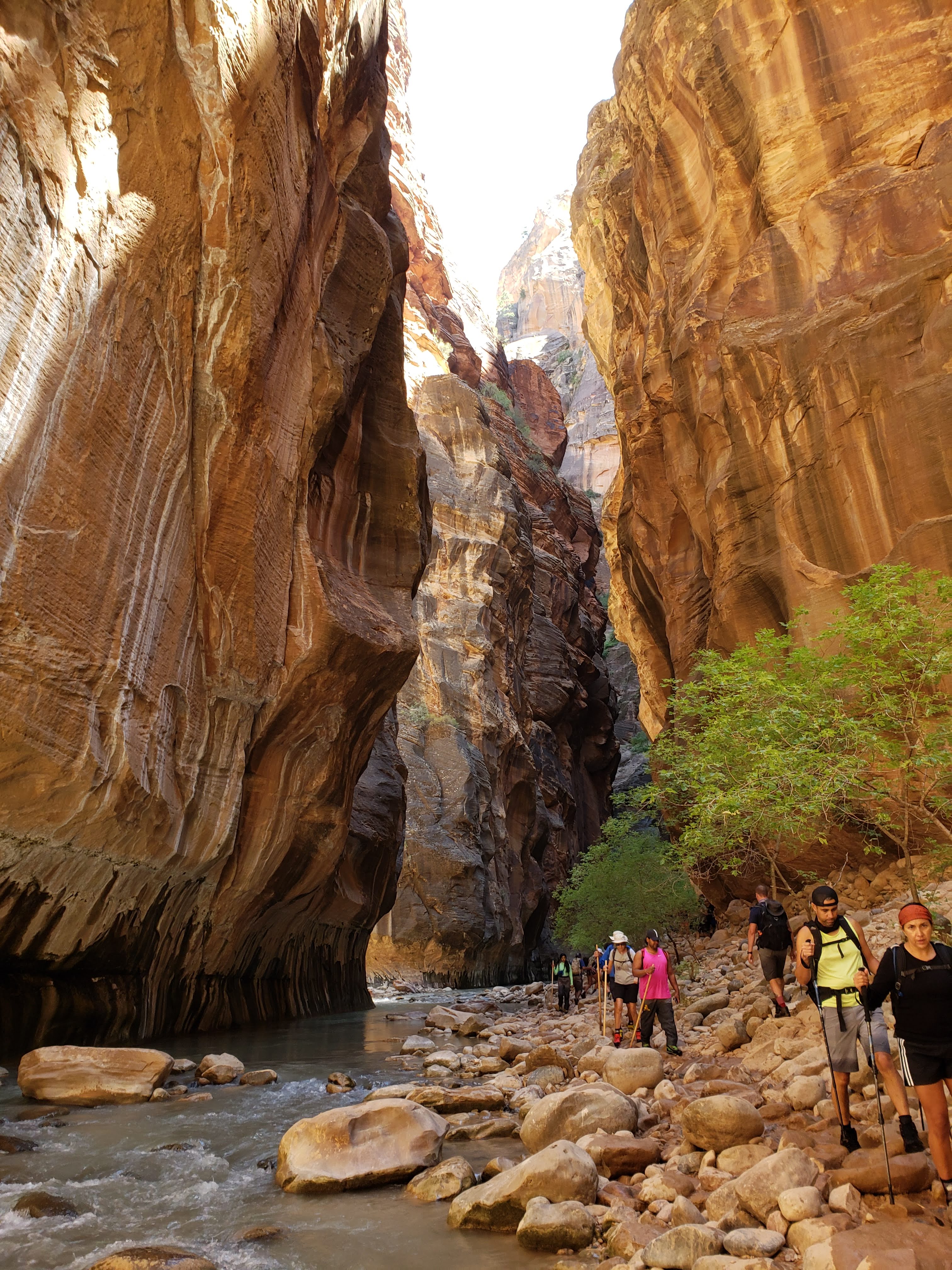
It was easy to spot the people hiking in rental gear as they all had the same neoprene socks with waterproof boots that came in neon red, yellow, and green. They also all had a single wooden hiking stick. Even with our relatively early start it was still pretty crowded on the hike. It was hard to take a photo of the river without having other people in the background. The canyon was cold—and so was the water. Since the canyon opening is very narrow (hence the name), not much sunlight gets in. It was surprisingly dark.
It was unclear where you were supposed to pee and poop. At one point I saw a woman crouching in waist-high water who was clearly pissing herself. With the constant stream of people—and the restrictive nature of being inside a canyon—it was nearly impossible to find a spot to take a leak in private, much less drop a deuce.
We saw so many people trip and fall. It’s really hard to get your footing while walking on top of rocks of varying sizes that are submerged in a moving river. I was thankful to have a trekking pole in each hand. There were people hiking without any stabilizing accessories which just seemed crazy to me. At least the people with the single wooden stick had one item to balance with.

We hiked past the Orderville Canyon turnoff. The distances were really unclear and we didn’t know how far we’d be able to get in one day so we kept hiking up the Virgin River instead of taking a detour.
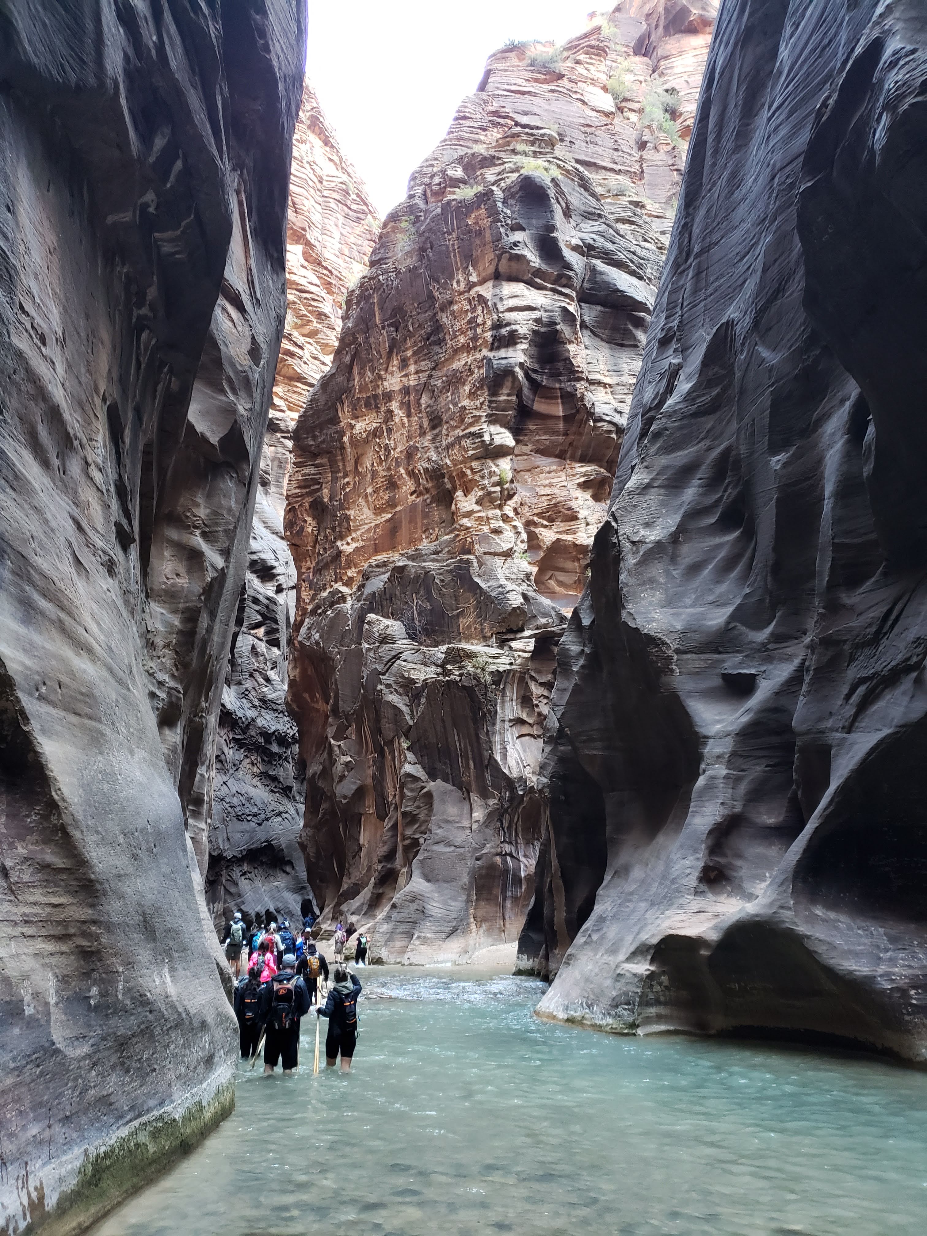
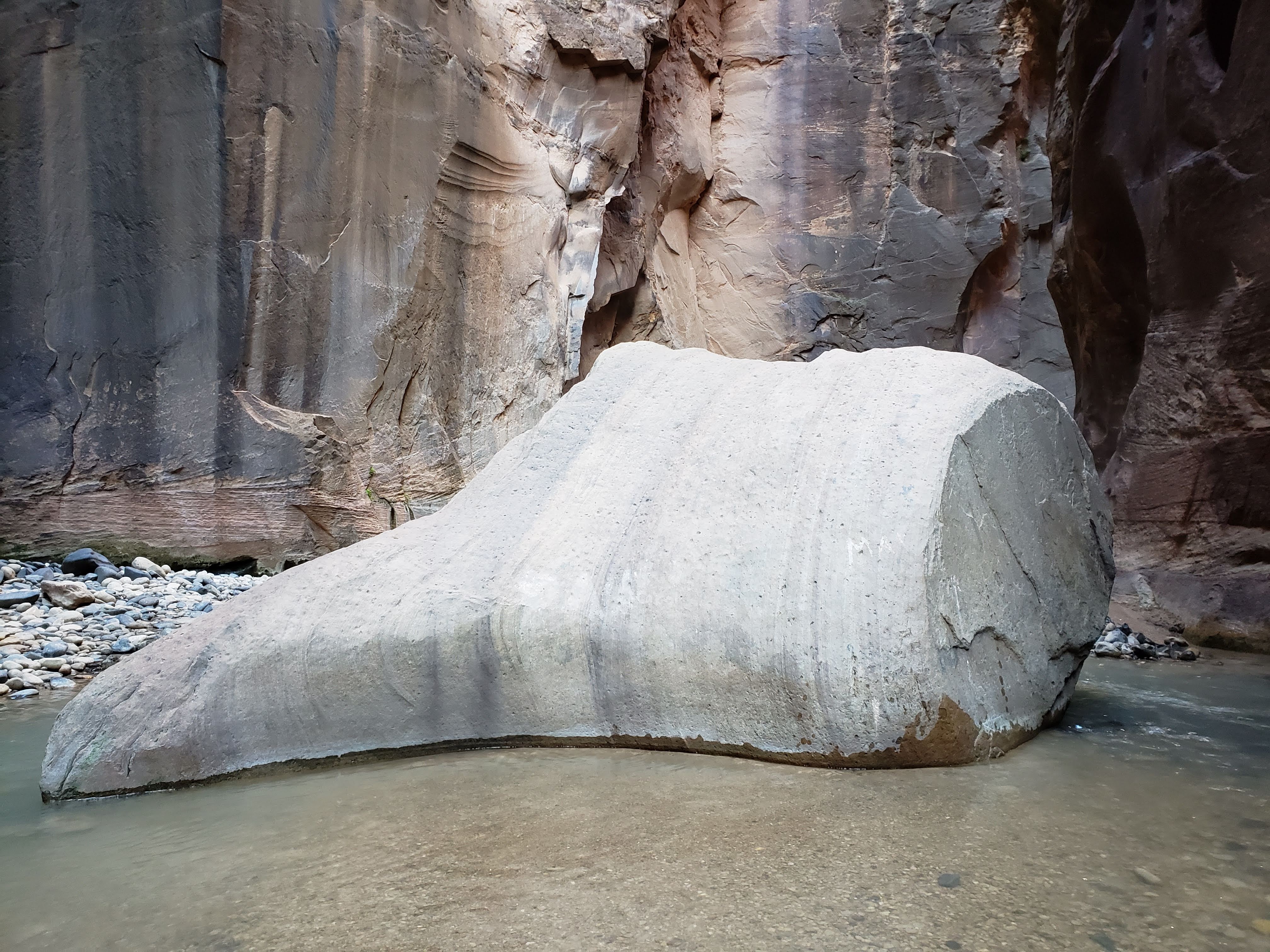
As best as we could, we would weave back and forth in the river, trying to find the shallowest and least treacherous way upstream. At times it was obvious—stretches that were above water and easier to move through. Other times it was a guessing game of wading through water that you couldn’t really see the bottom of and hoping that you picked a decent route. This made for some really slow going—especially with the added difficulty of walking upstream. We had to pass through a couple of spots where the river water was chest-high. I cinched my backpack up high and tiptoed through the water. Luckily, we never had to outright swim. But the bottom of my backpack did get a little wet.
At one of these chest-high passes we were stuck behind a line of people. Our options were to either wait as the line of people slowly crept—one-by-one—along the shallowest part of the river that hugged the canyon wall or to swim up the middle. We opted to wait and were entertained by a man that was continuously swimming to a boulder in the river, climbing on top of it, and jumping off into the river. He was really showing off for the crowd.

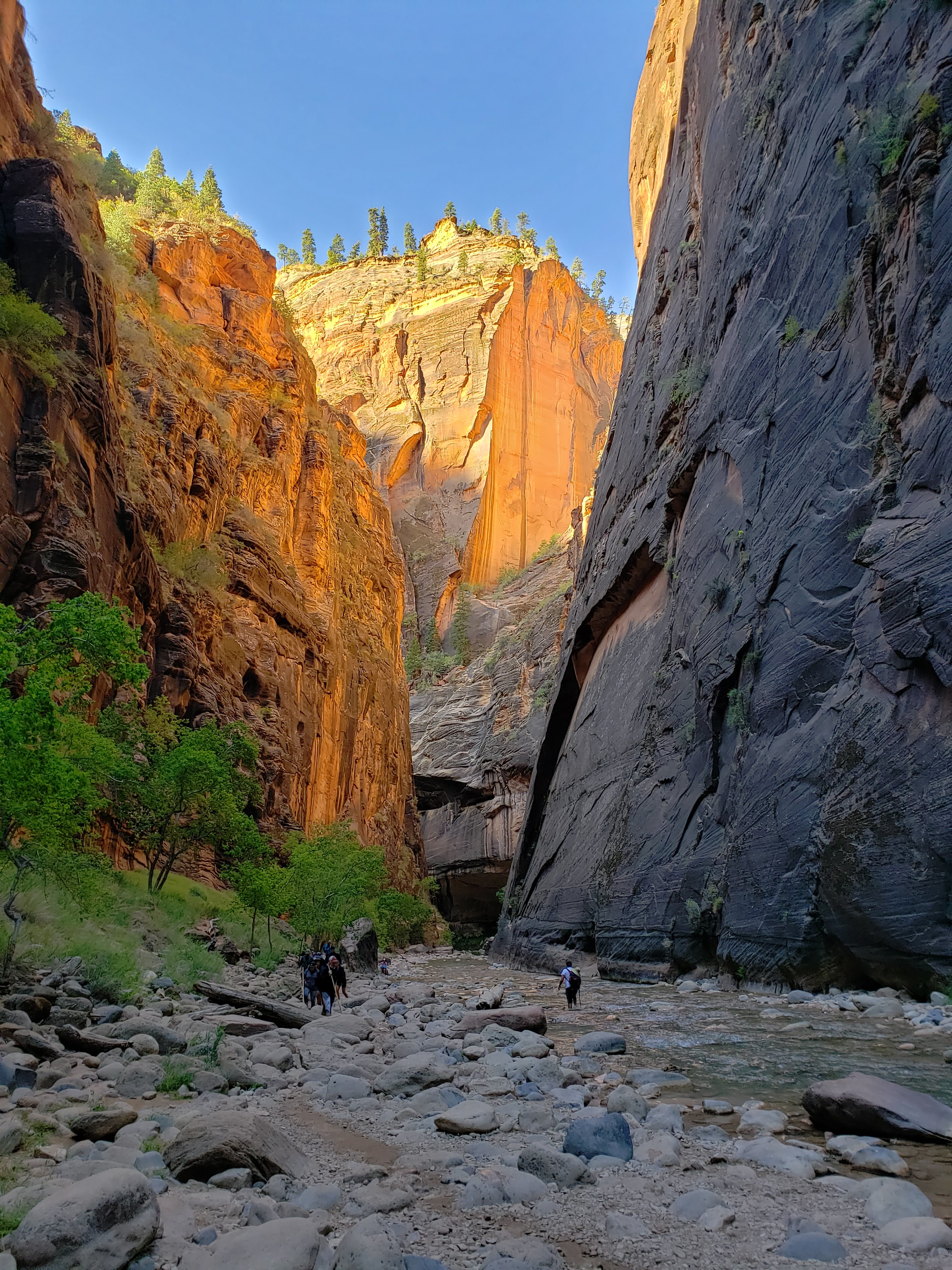
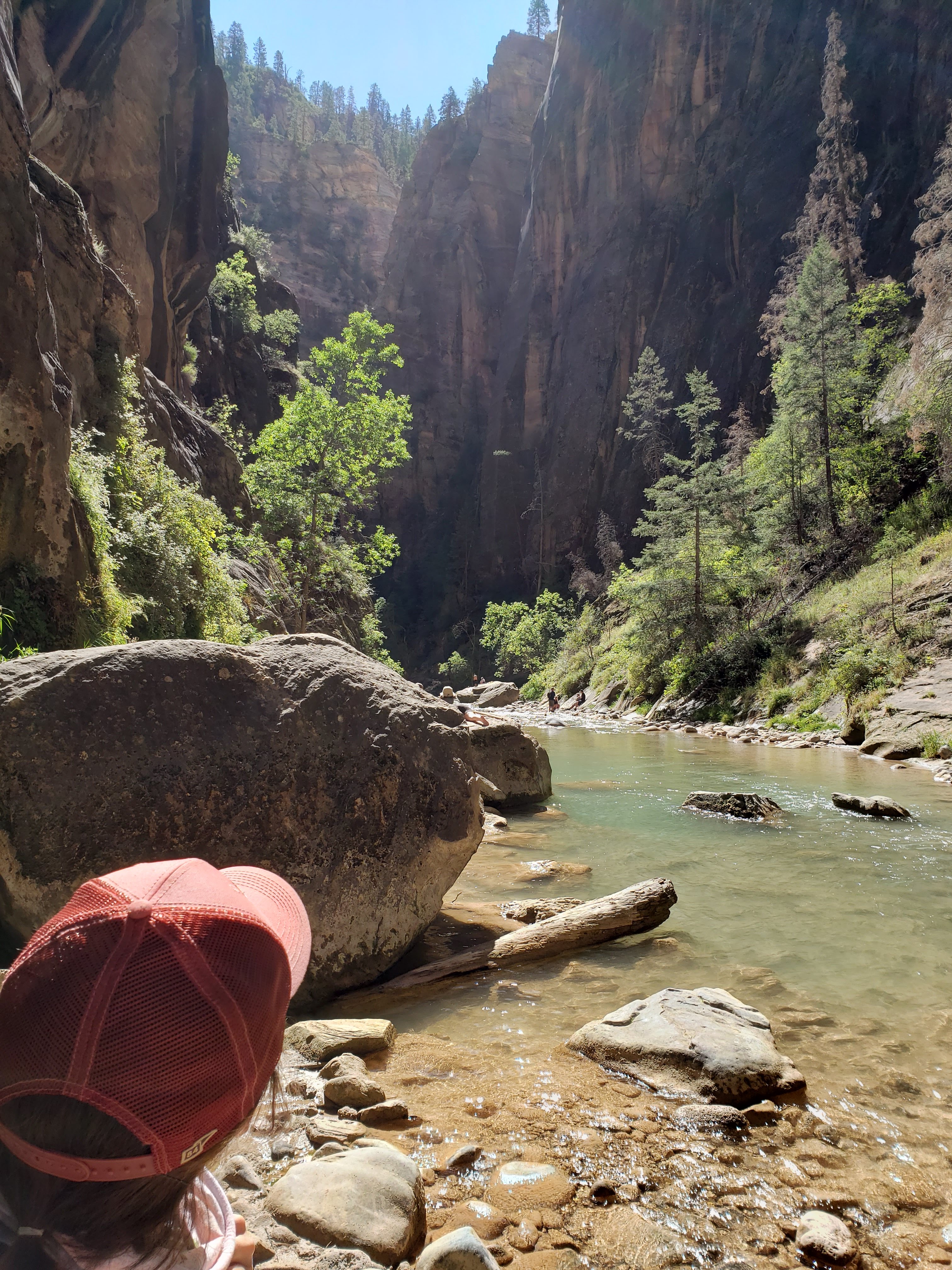
As we got further up the river, the crowds started to thin out. A combination of the total distance hiked and deep-water obstacles scared people away. We kept wondering if we’d see any signs or mileage markers. In fact, we saw neither. The non-permitted section of The Narrows ended at a spot on the map called Big Springs. We weren’t sure how far we had hiked because walking in the river really threw off our pace. We had hiked about 4 miles in the river—or at least that’s what we guessed.
We were hiking for a while—following the same guy. He eventually stopped hiking and we caught up to him. He told us that he left his wife (left her physically that is, not left in matrimony) and needed to start heading back. We had him take a photo of us.

We then stopped to assess our situation as we watched him hike back down river and out of view. At that point we didn’t know if anybody else was ahead of us on the trail (though probably at least someone was). We decided that since we didn’t know how much further we had to hike to get to the “end” of the trail that it made sense to turn around. We didn’t want to be rushing to get out of the canyon as the afternoon wore on.
We hiked a short distance back to a sunny section of the canyon and ate lunch on a rock. We saw a few people venture on ahead of where we were eating lunch. At least two of them were specifically looking to make it to Big Springs—and hoping that they’d make it back in time to catch the last shuttle at 8:15 PM. I’d guess that at the spot where we turned around we were about one mile at most from Big Springs. But with the river conditions that could take over an hour to hike. Plus, we had no definitive word on if there would even be a sign or marker telling us that we arrived—which meant we could be hiking indefinitely. For all we knew we had already passed Big Springs without even knowing it. We were both bummed that we didn’t “complete” The Narrows hike but we were very happy with what we saw.
**After returning home I did a little research and saw some photos of Big Springs. After looking at the photos I determined that we never made it to Big Springs. There also appeared to be no signs. It would have been cool, but the scenery seemed very similar to what we saw so I don’t feel like we missed out too much.**

As we made our way back past the deep-water obstacles—this time in reverse order which made them slightly easier to traverse—we began to see the crowds of people again. You’d think there couldn’t be more people, but then around the next corner there would be dozens—and then hundreds—of people. It was an odd sight to see during a pandemic—and also during a time when park rangers were specifically telling people to not hike in the river due to dangerous bacteria. I couldn’t judge since we were also there. But Leah and I were taking more precautions as far as distancing, wearing a mask, and not fully submerging ourselves in the river.

On our way back we took a slight detour into Orderville Canyon. We very quickly came to a section with a boulder scramble. We also heard that there were more boulder scrambles and swimming involved in order to see a waterfall. The scrambles seemed dangerous and we didn’t know how far we’d have to hike in order to see the waterfall (I later looked it up and it was a half mile in and then you couldn’t hike past the waterfall). We decided to turn back and rejoin the main canyon to continue downstream.
We took a break to drop layers and put on sunglasses. The sun was finally overhead and the sunlight was shining into the canyon. The canyon was much hotter and brighter—the difference between 9 AM when we were first hiking in the canyon and 2 PM. We were near a group of young twenty-somethings that consisted mostly of shirtless men. They called upon the services of a woman with a special technique to puncture the base of a Coors Light tallboy. Then one of the shirtless men—who was also wearing a bucket hat—declared it to be “shotgun o’clock”. The men proceeded to shotgun their beers right in the middle of the trail. To their credit, they did crush and collect the cans. However, it did disturb the peaceful nature of the National Park. But in all honesty, the crowds had already done that.
I’m always a little torn when it comes popularity and accessibility of parks (mostly pertaining to the most popular National Parks and State Parks). I come from an incredible place of privilege where I was exposed to these places often while growing up. I’ve never felt out of place or unwelcome while visiting a National Park. It’s also hard to escape the fact that most of the land—if not all—was at one point home to indigenous people.
I want the parks to be popular. I want everyone to feel welcome. I want more federal and state funding going towards protecting land. But at the same time, I don’t want these same parks to be crowded. I feel the most at peace in nature when there isn’t anybody else around. So there’s a struggle between wishing everyone the opportunity to visit these majestic places while also not seeing those same people when I’m there. I guess that’s why I tend to fall in love more with parks and trails that are less traveled. Either way, I’m happy to see so many people enjoying Zion NP.
Anyway, back to our hike. We finally made our way out of The Narrows. We took a snack break by the Virgin River, away from the sea of people coming from and going to The Narrows. We walked back to the shuttle stop and ended up waiting about 30 minutes in line for a bus. Leah commented that it was like waiting in line at Disney and I agreed.
We rode the bus back to the visitor center and then walked back to our campsite. We took a quick breather and drank a bunch of water—we didn’t drink enough on the trail for fear of having to pee more. We ate some snacks and wrung out our wet socks. We also spent some time wiping our bodies down with wet wipes in order to remove grime and bacteria. There weren’t showers at our campground so that was the best we could do.
We drove into Springdale for dinner. We stopped at a pizza place to place a to-go order and then walked around town while we waited for our order. Springdale was a cute little mountain-ish town with a few tourist traps sprinkled in—nothing like Moab. We picked up our dinner and brought it back to our campsite. We ate the pizza and salad and washed it down with wine. The pizza was good—the crust was scalloped for some reason.
After dinner we went to the ranger program. It was on Mexican spotted owls. As we were experts on Mexican spotted owls—having just seen one in the wild—the program was just okay. It’s hard to do an entire ranger program on such a specific topic. Each talk the topic had gotten more specific—animals to insects to owls.
After the ranger program we walked back to our campsite and headed to bed. We were having a casual-ish (by our standards) morning the next day. All we had to do was pack up and head out of Zion. No alarm was set.
Total miles hiked: ~10 Weather: Highs in the 90s, cool in the morning
Day 10 – Zion NP to Cedar Breaks National Monument
We packed up camp and made a more involved breakfast since we had more time. We ate freeze dried huevos rancheros and I would not recommend it. It wasn’t worth the effort and was only made flavorful by adding Trader Joe’s corn salsa and homemade hot sauce.
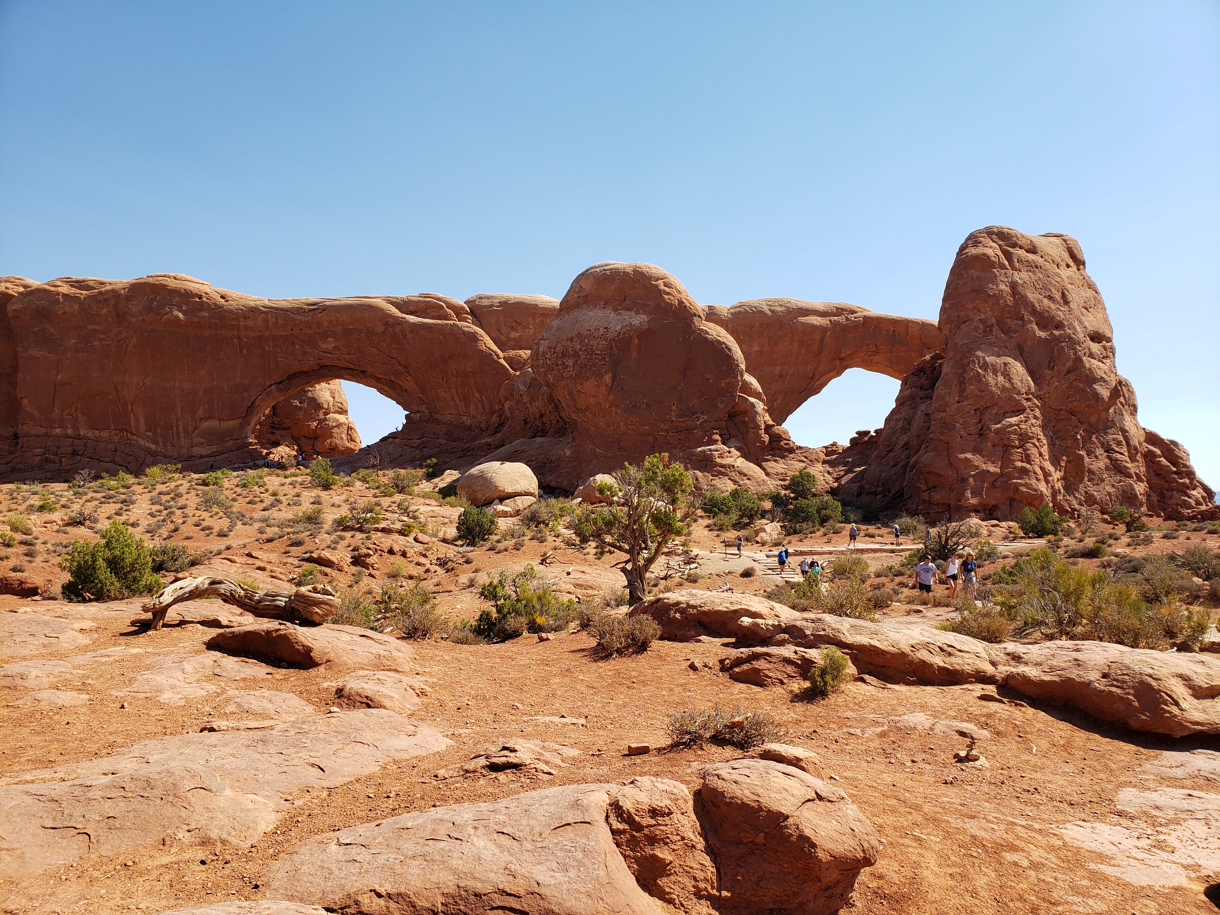
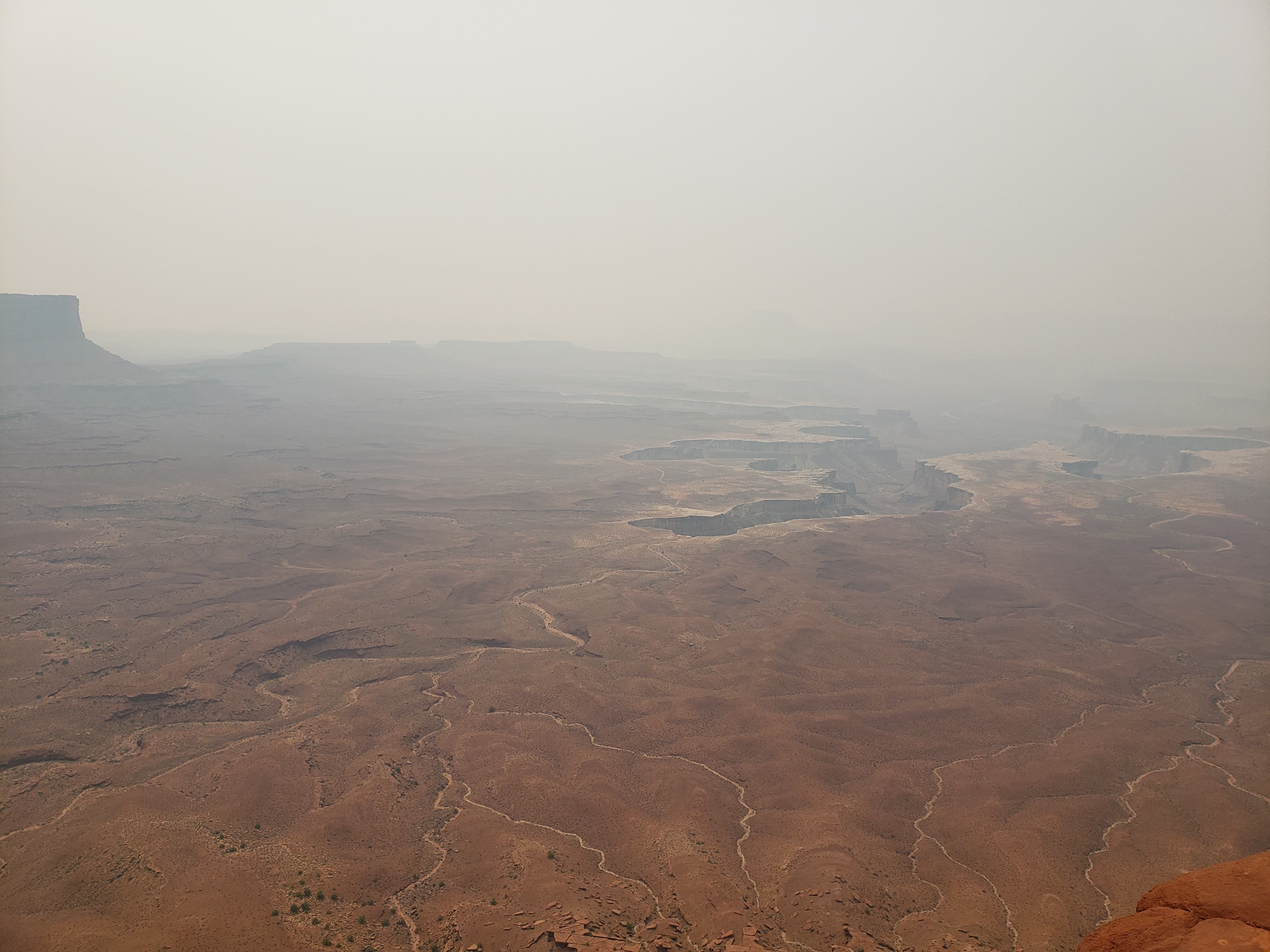
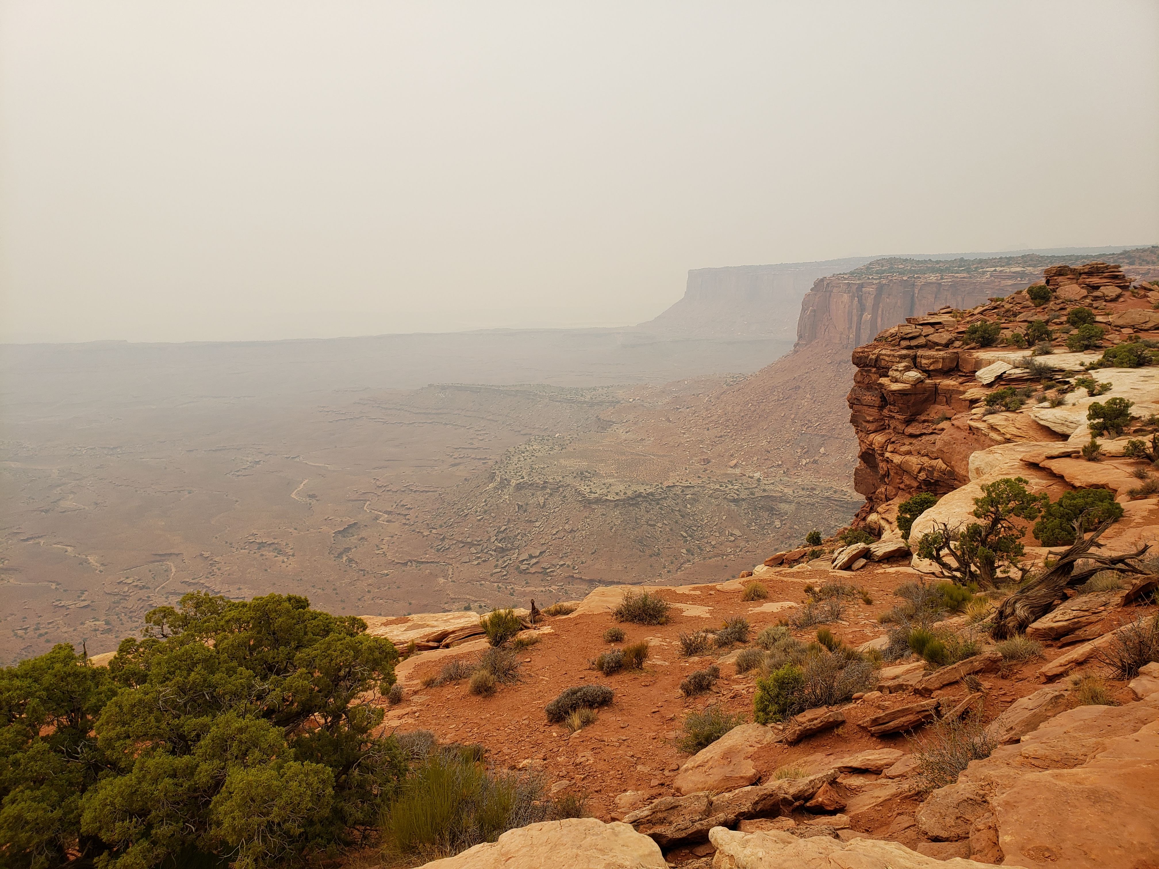
Next we loaded up the car and headed out of Zion NP. Leah dropped off postcards at the Springdale post office. We made our way around the southwest section of the park and eventually back to the northwest section of Zion which is called Kolob Canyons. The first thing the ranger told us when we arrived at the Kolob Canyons visitor center was that we were in the wrong location for cool hikes. We informed him that we had just come from the cool hikes section.
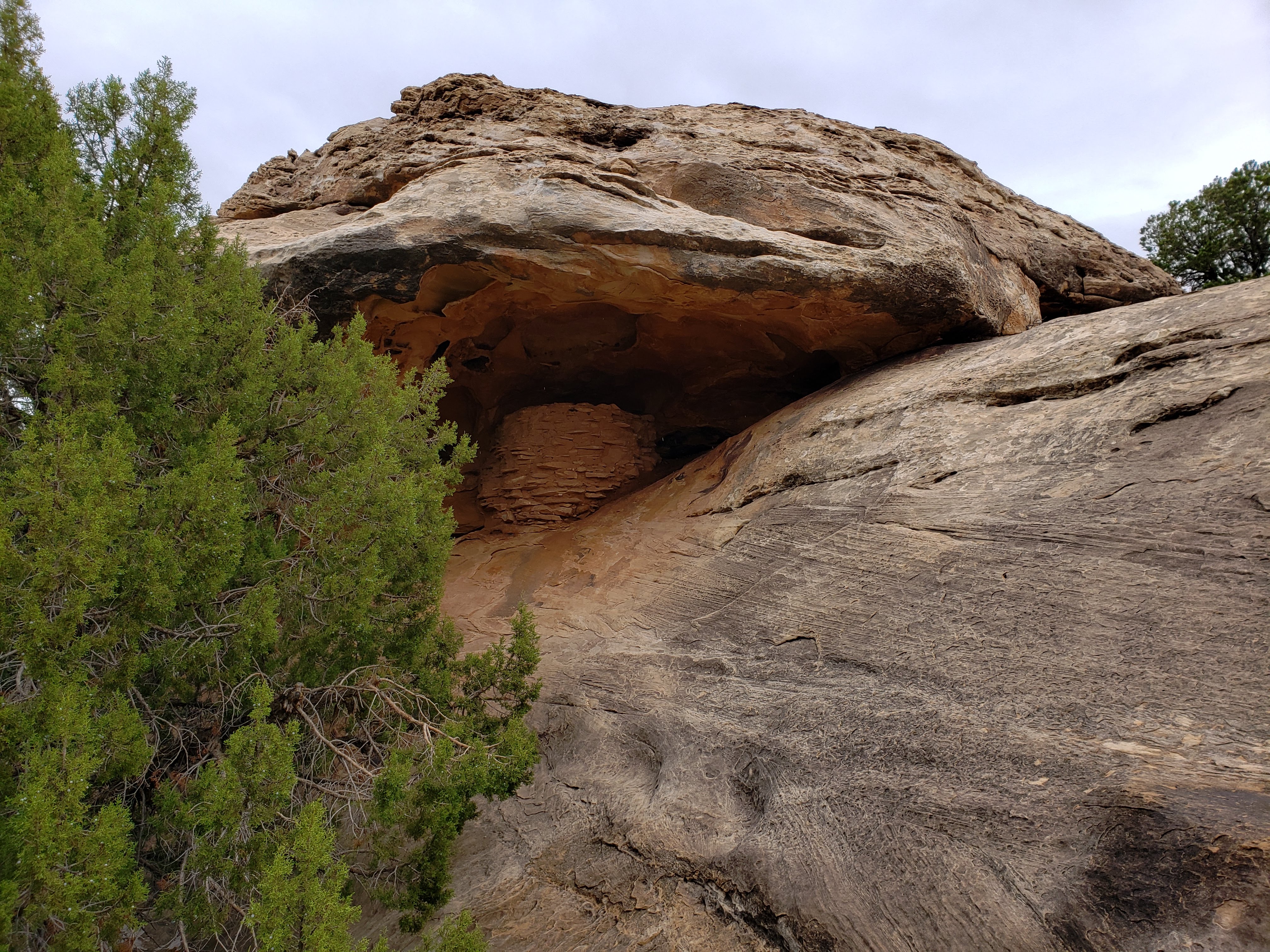
We parked the car—in a full parking lot nonetheless, uncool hikes be damned!—and started out on the Taylor Creek Trail. It was an out-and-back trail. We hiked past two cabins from the early 1900s but neither had any interpretative signs or info—beyond when they were built—so they weren’t very cool.
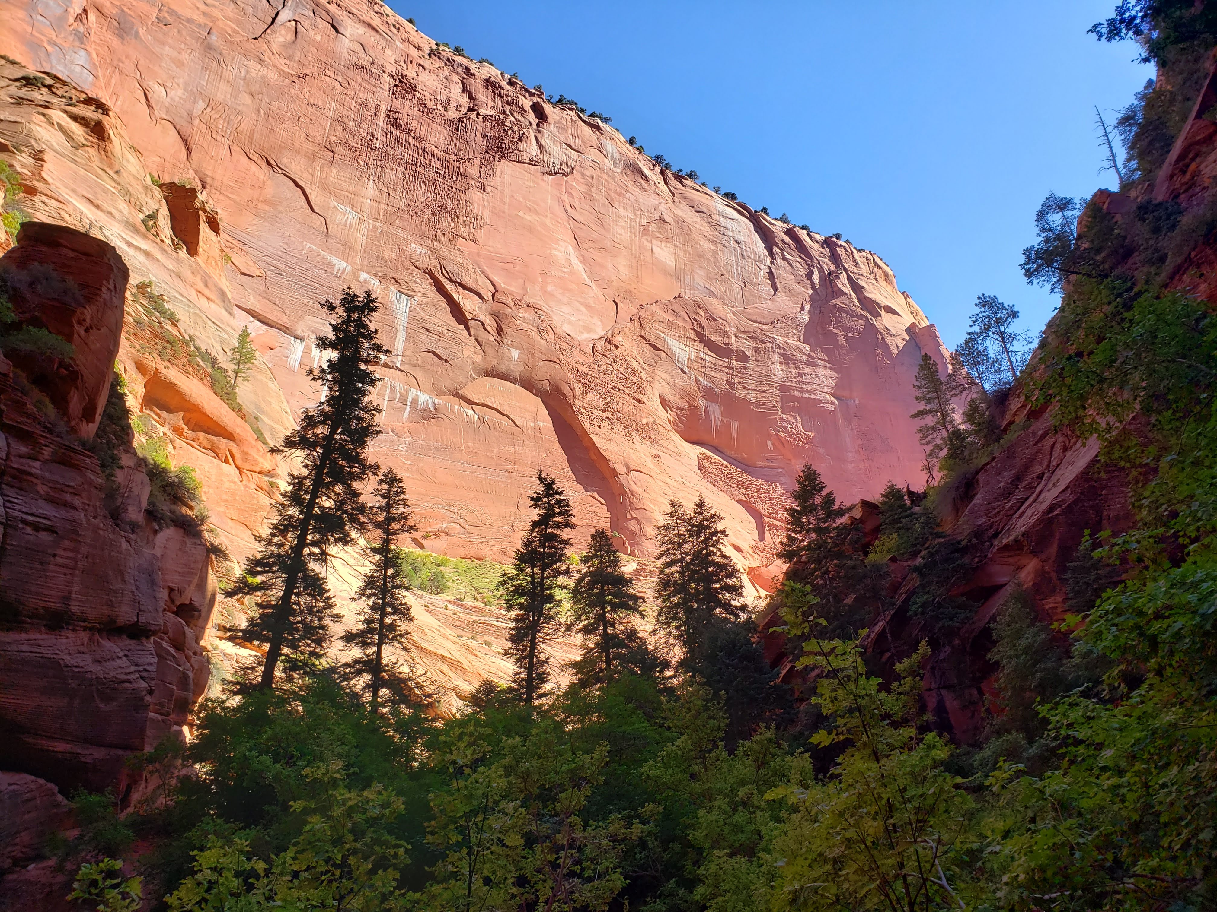
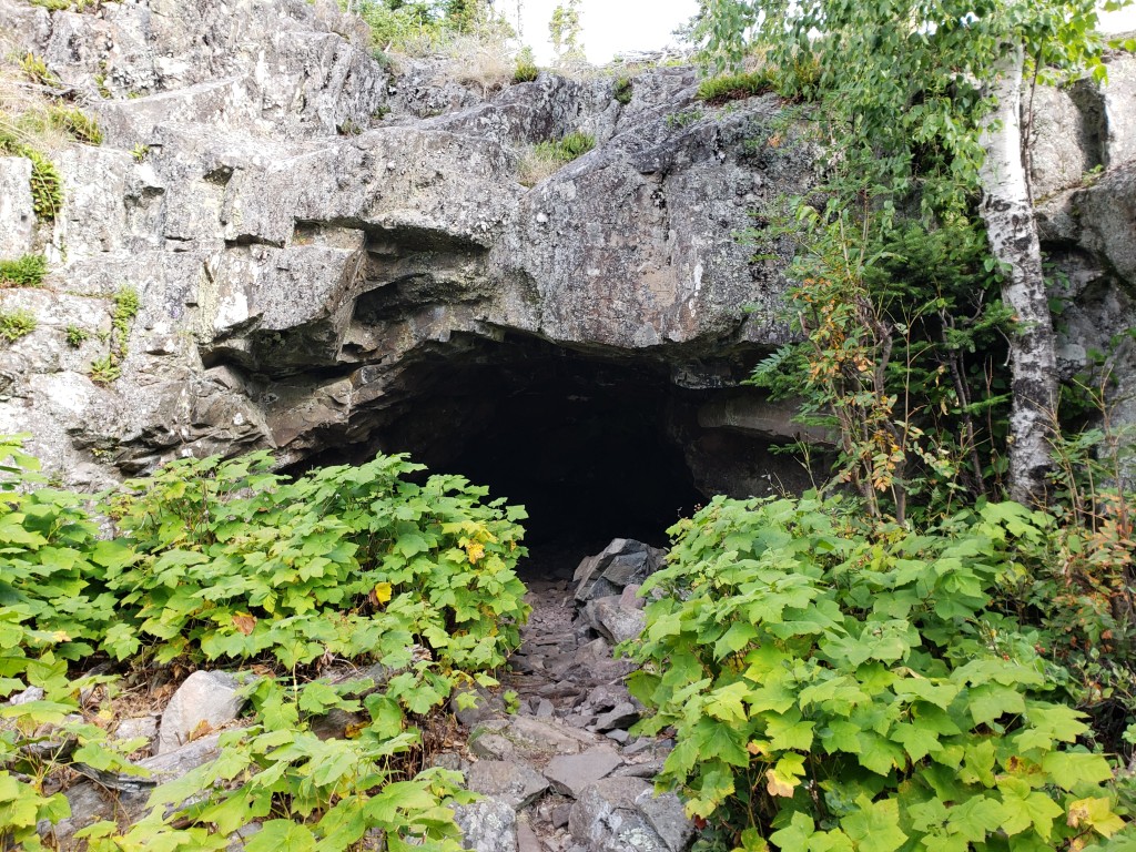
The trail ended at Double Arch Alcove. It wasn’t really an arch—more of an alcove—but it was still super cool.
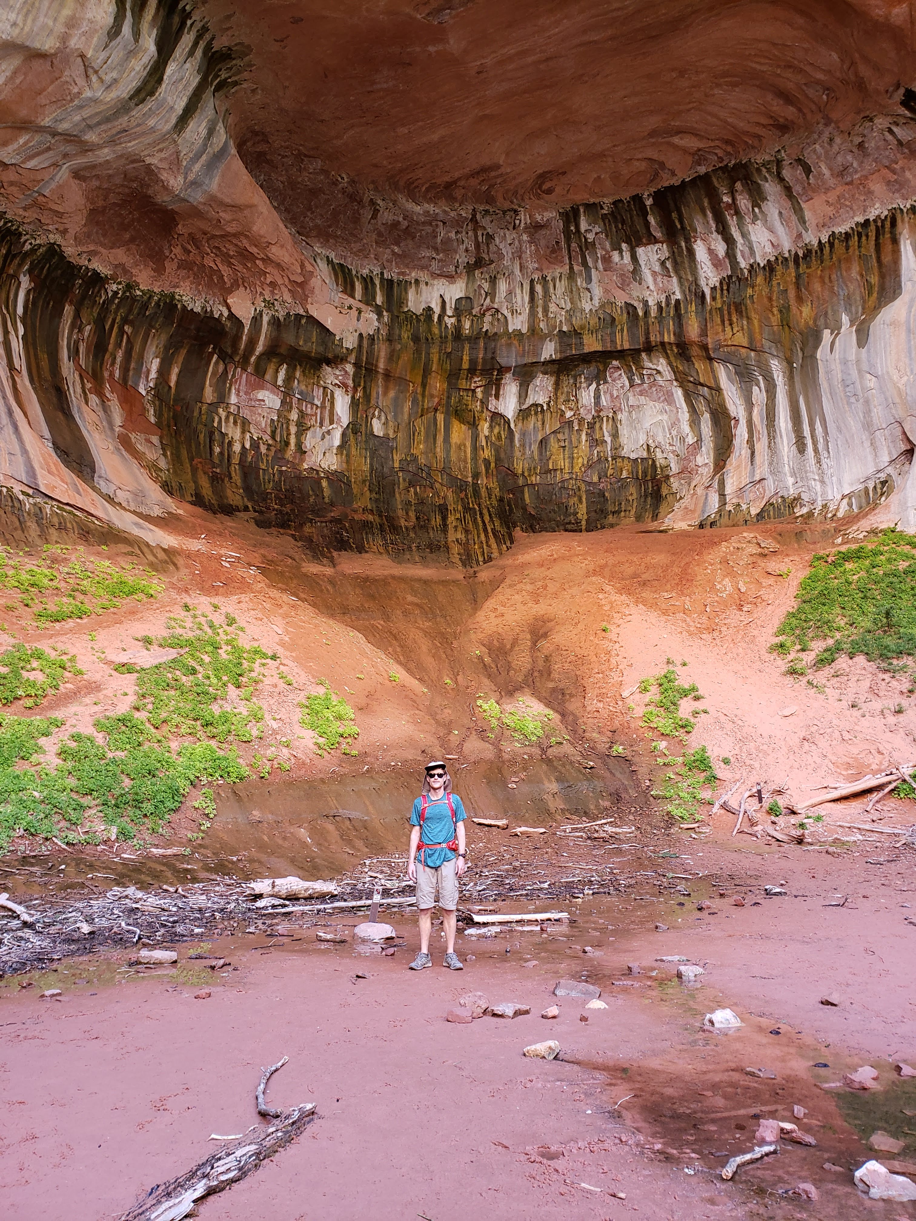
We took a snack break by Double Arch Alcove and enjoyed the view. Kolob Canyon seemed greener than Zion Canyon.

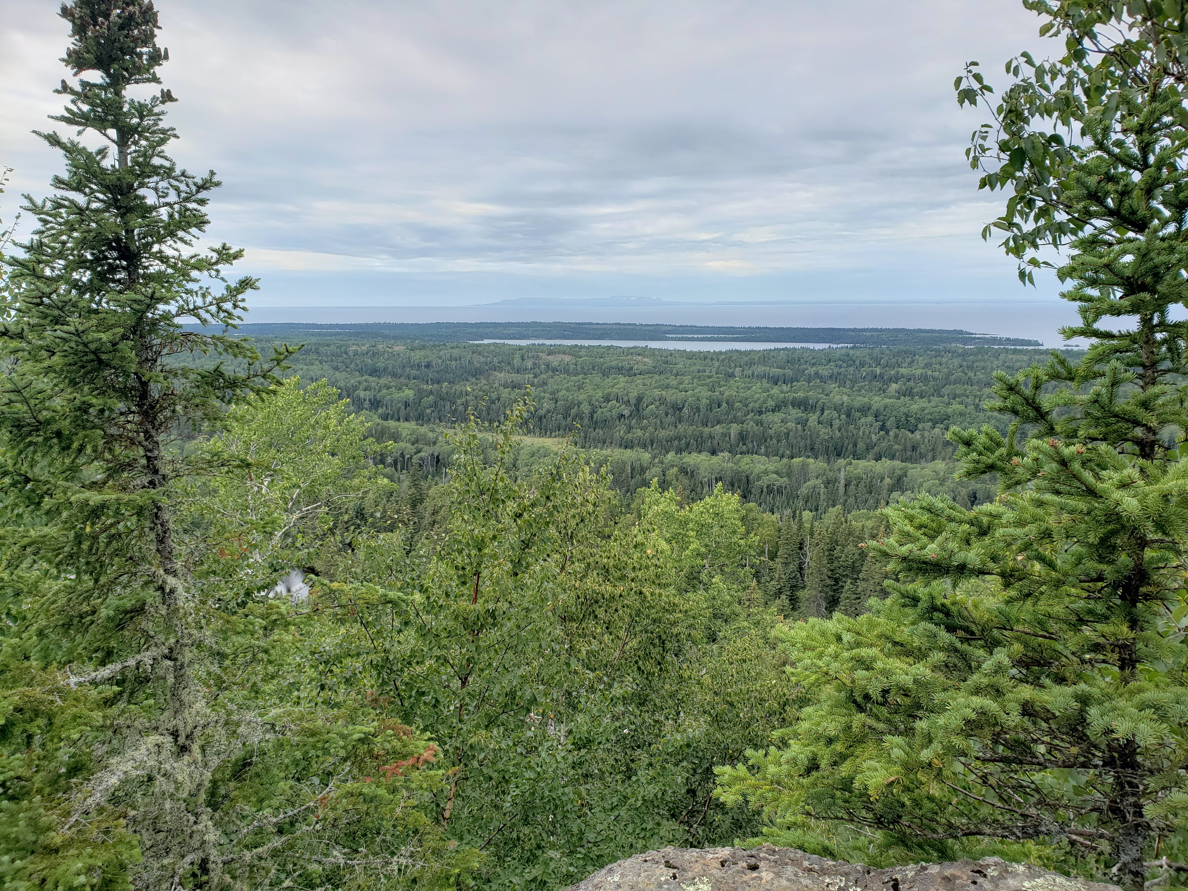
After returning to our car we drove the park road to the Kolob Canyons Viewpoint and took in the scenery. Apparently on a clear day—like it was—you can see all the way to the north rim of the Grand Canyon. We were relatively close to where we started the Nankoweap Trail years ago in the Grand Canyon.

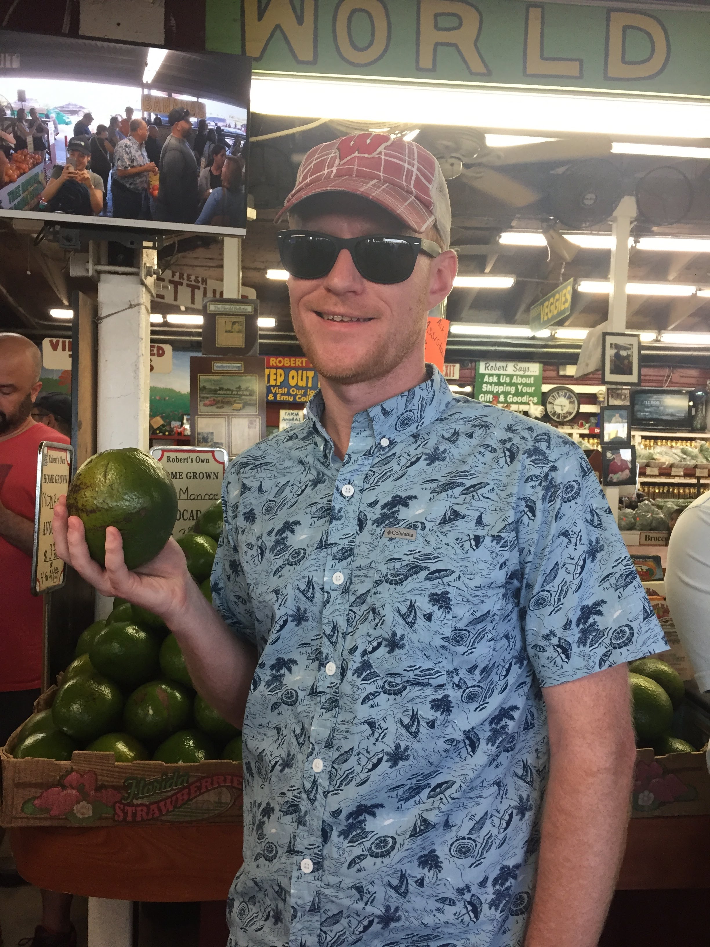
We ate lunch under the trunk overhang of our car in the parking lot. Our food supplies were running low. After lunch we got back on the freeway and drove to Cedar City to get groceries. We stopped at a Smith’s grocery store and when we left, our car seemed to start in a weird way. We drove to Dairy Queen for a treat and to give the car a rest before we tried starting it again. It was a Sunday and we couldn’t find any open car mechanics nearby. We were a little worried about having car troubles but thankfully the car started fine the next time. Maybe it was just a fluke?
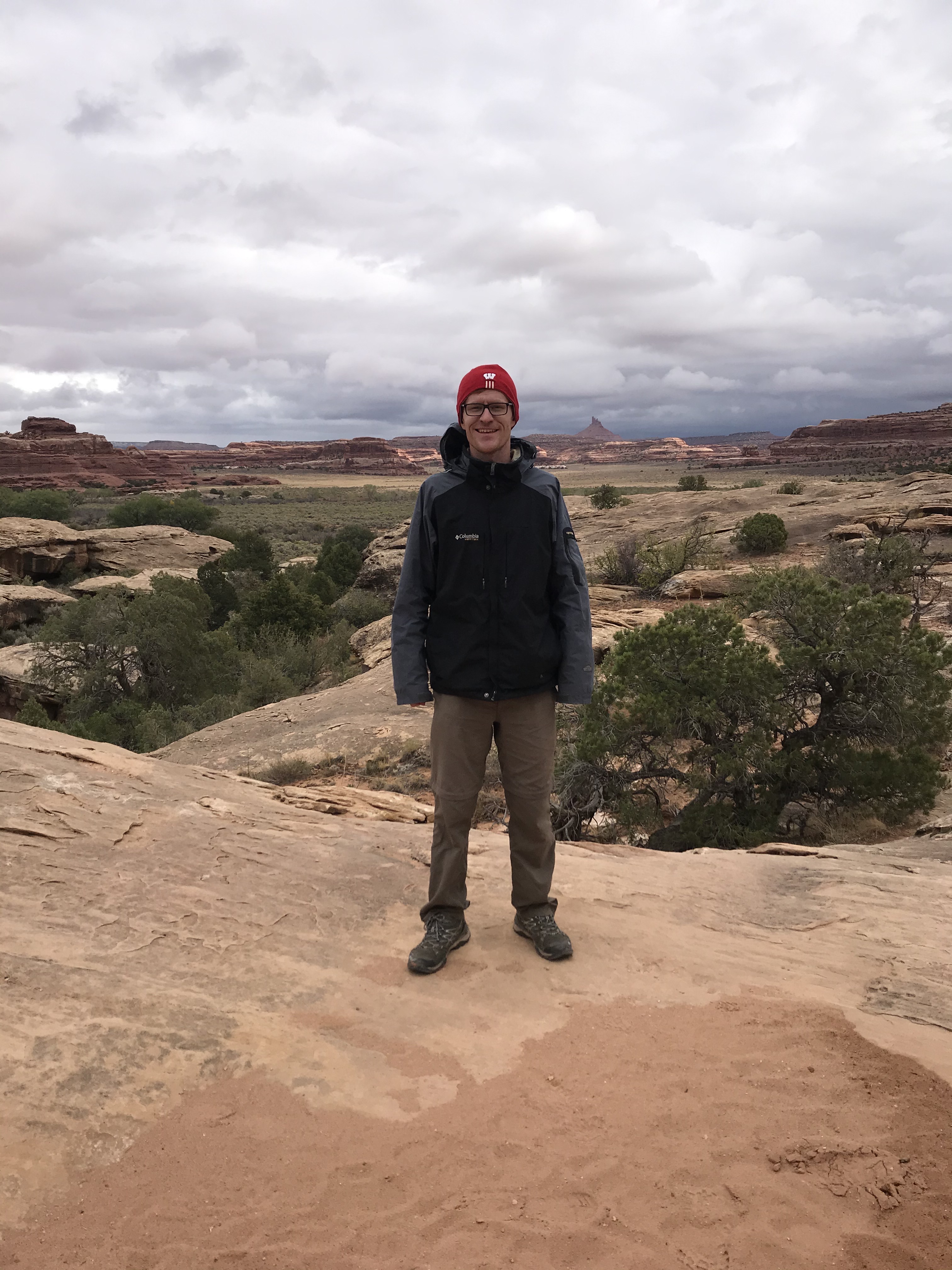
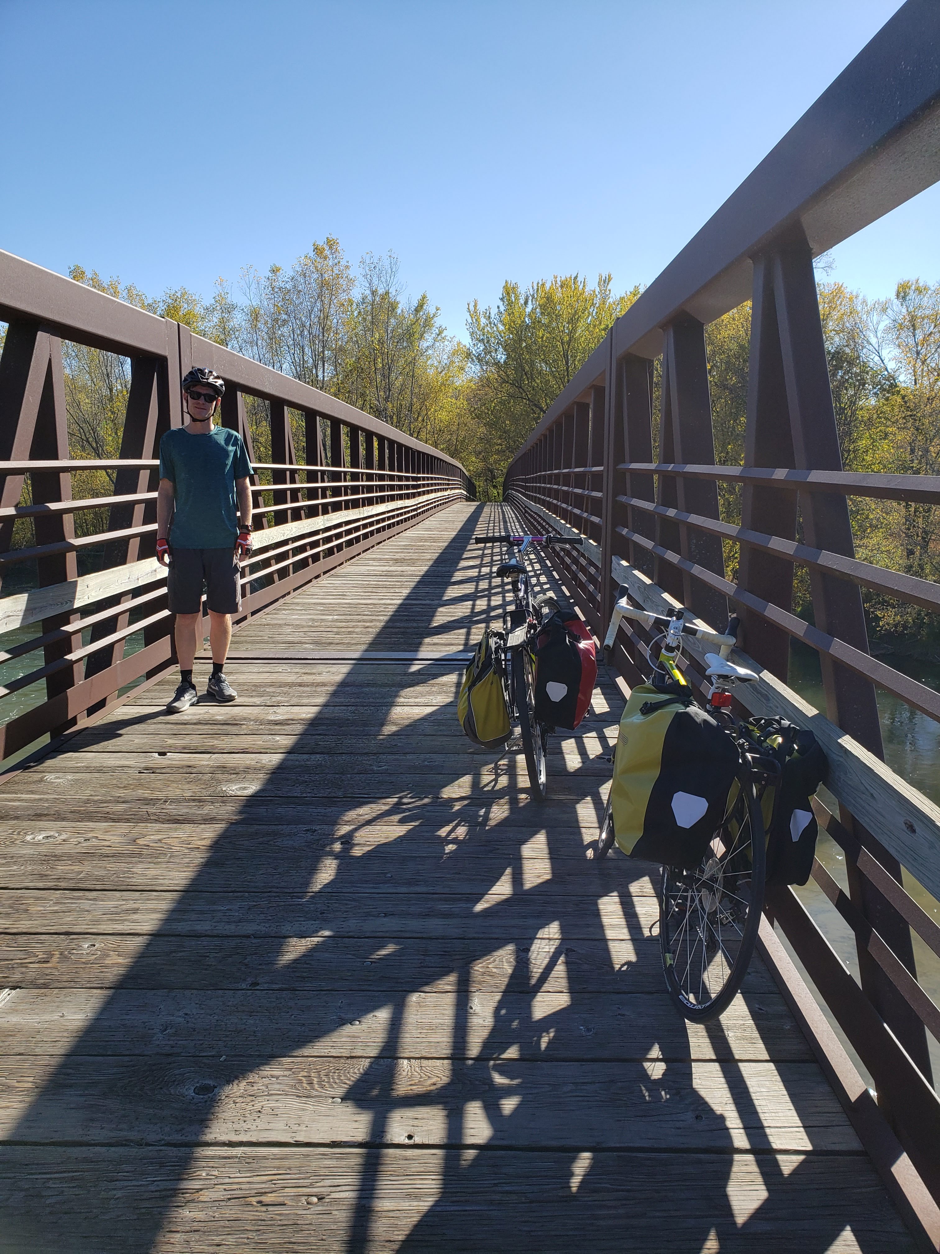
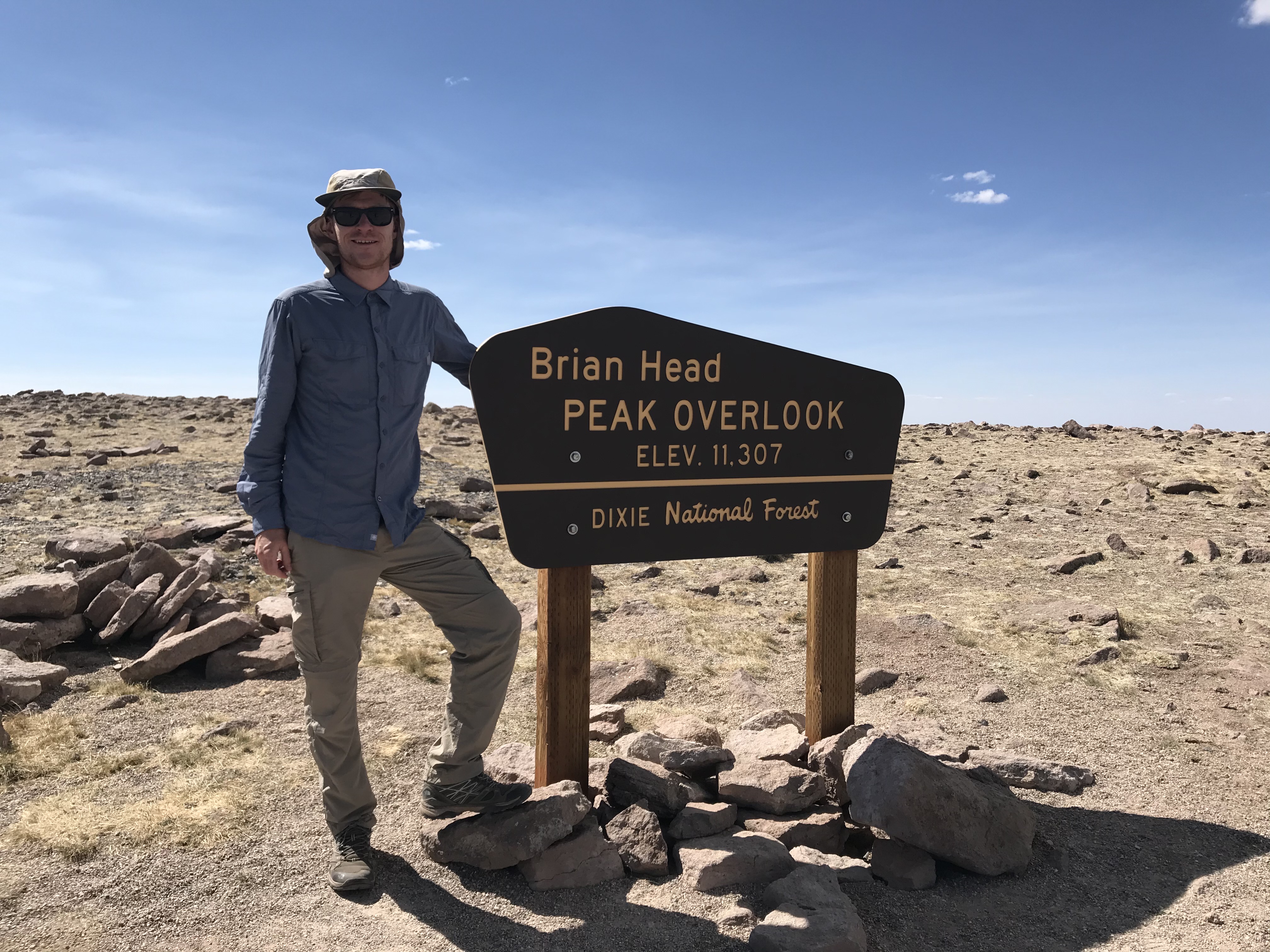
We got back on the freeway and got off at the exit for Brian Head. The road turned into a very steep uphill climb to reach 9,600 feet. We stopped to take pictures and buy merchandise—I bought a t-shirt and sticker.
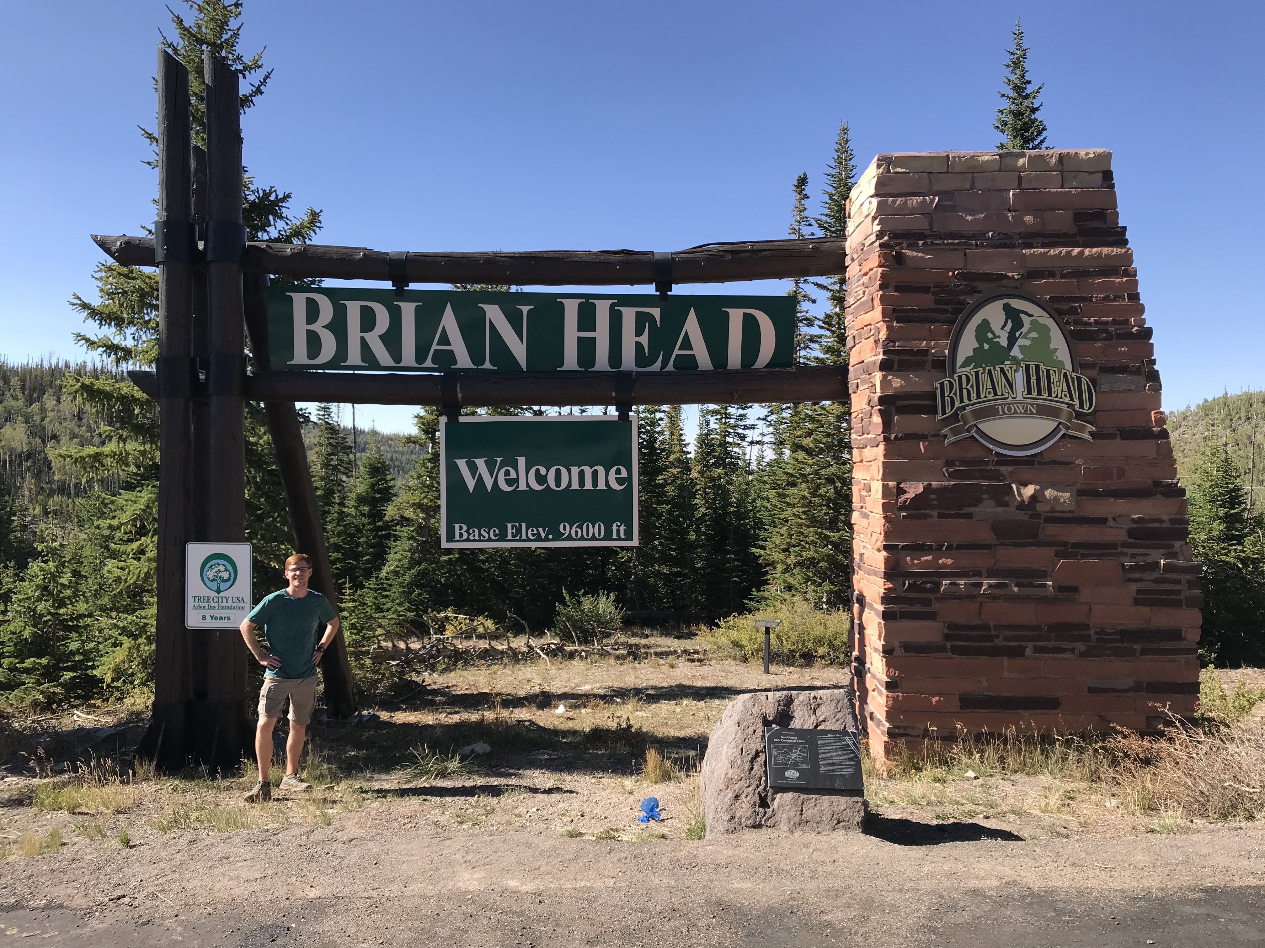
Brian Head is a ski resort town in southern Utah. It is also a great roadside stop for people named Brian.

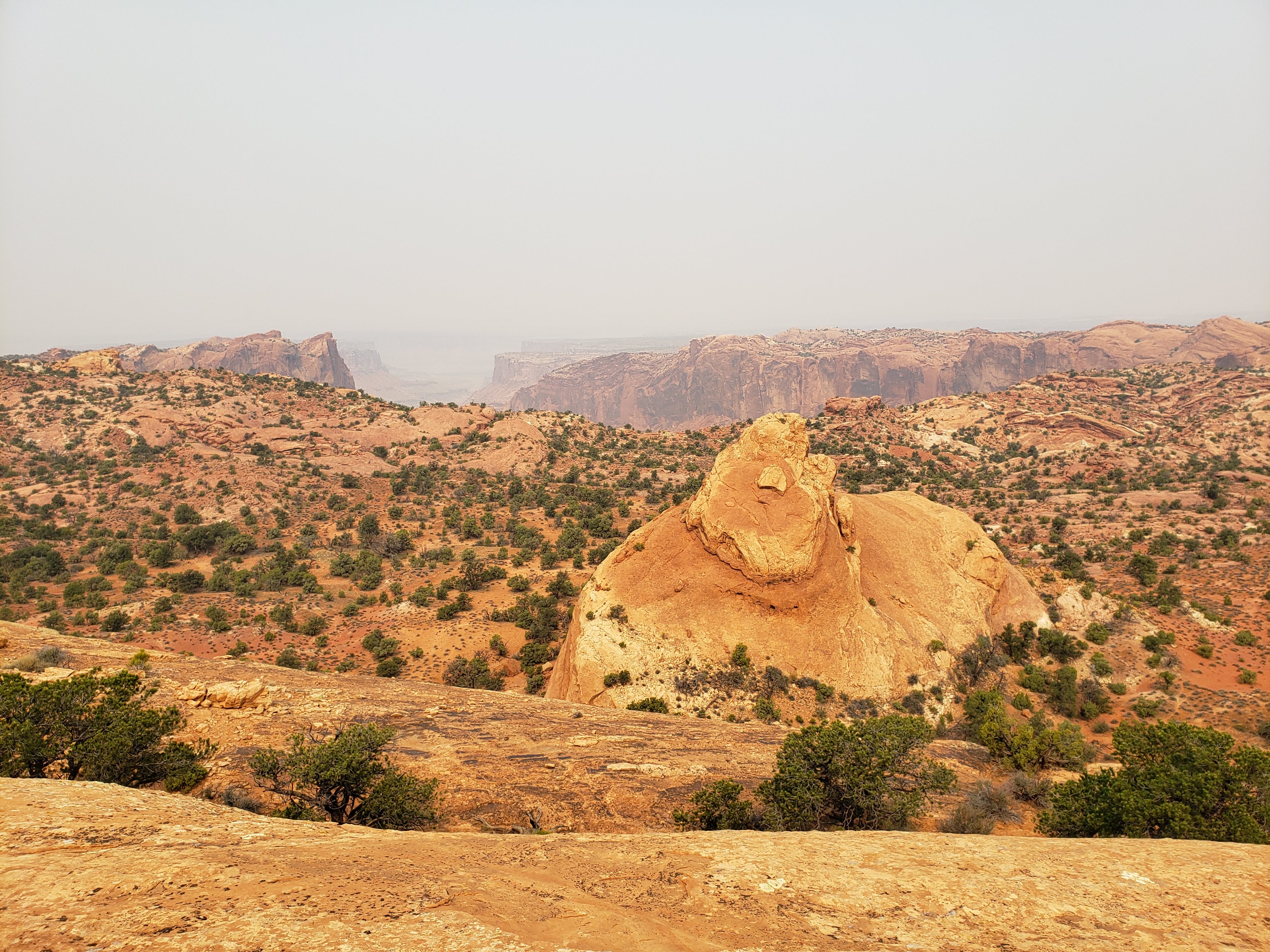
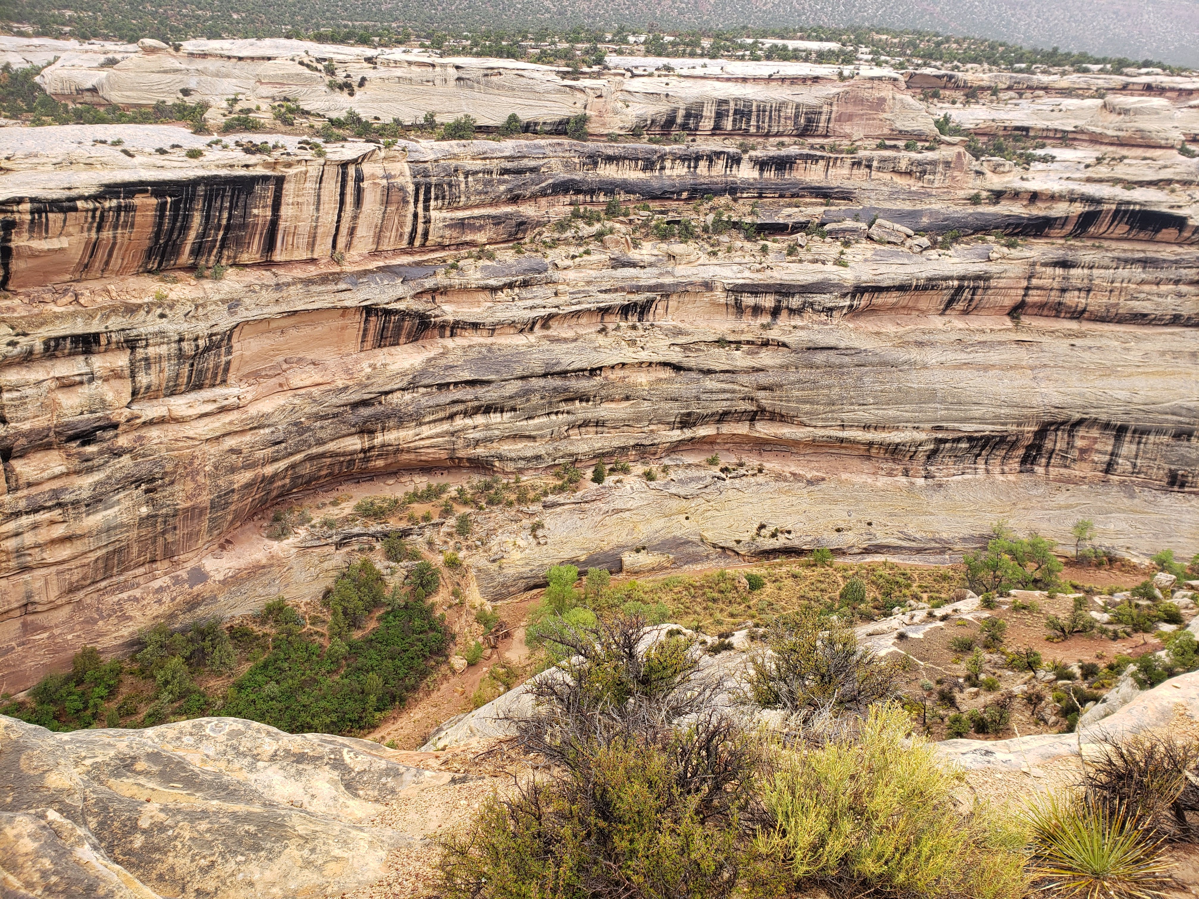
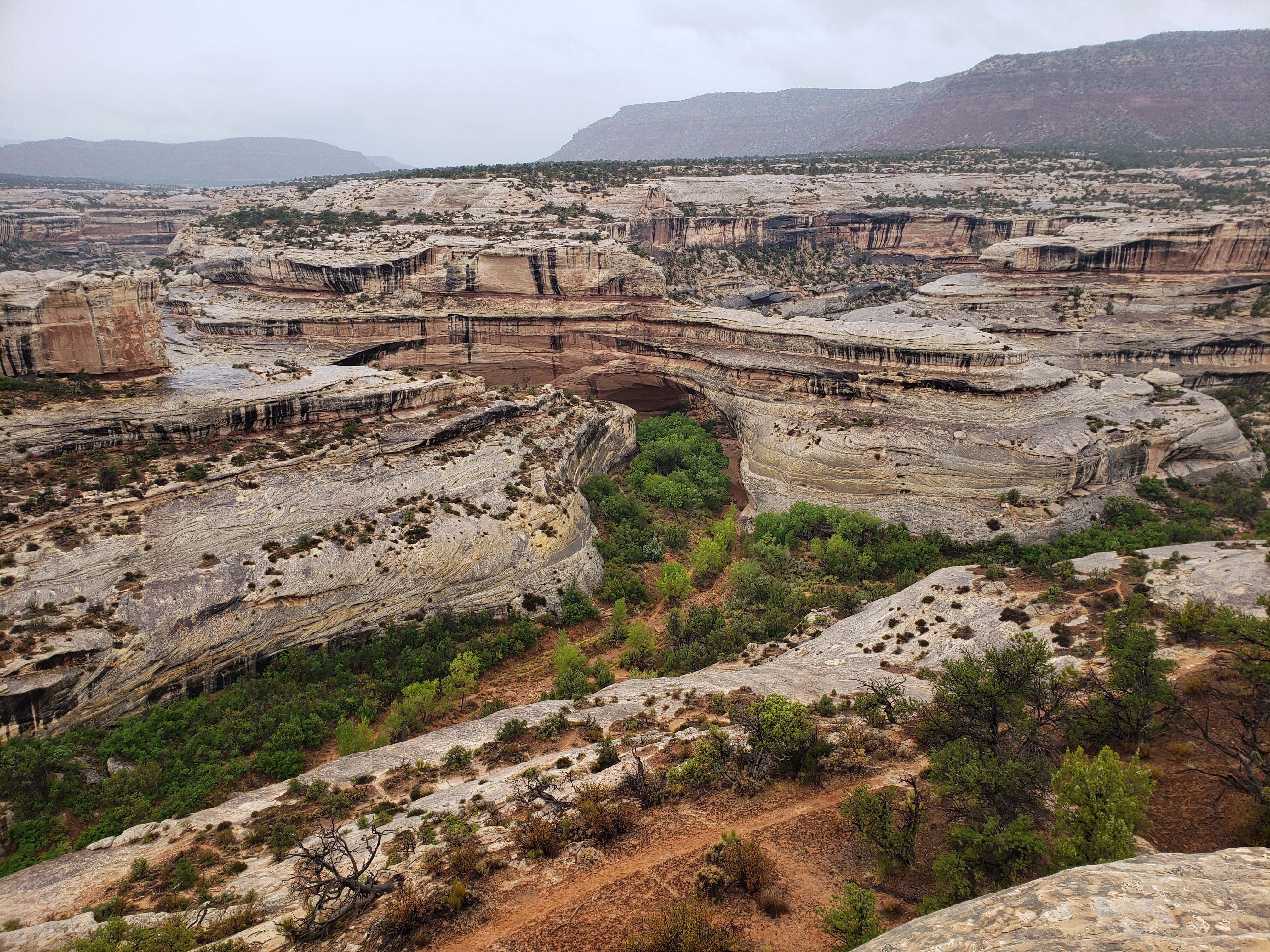
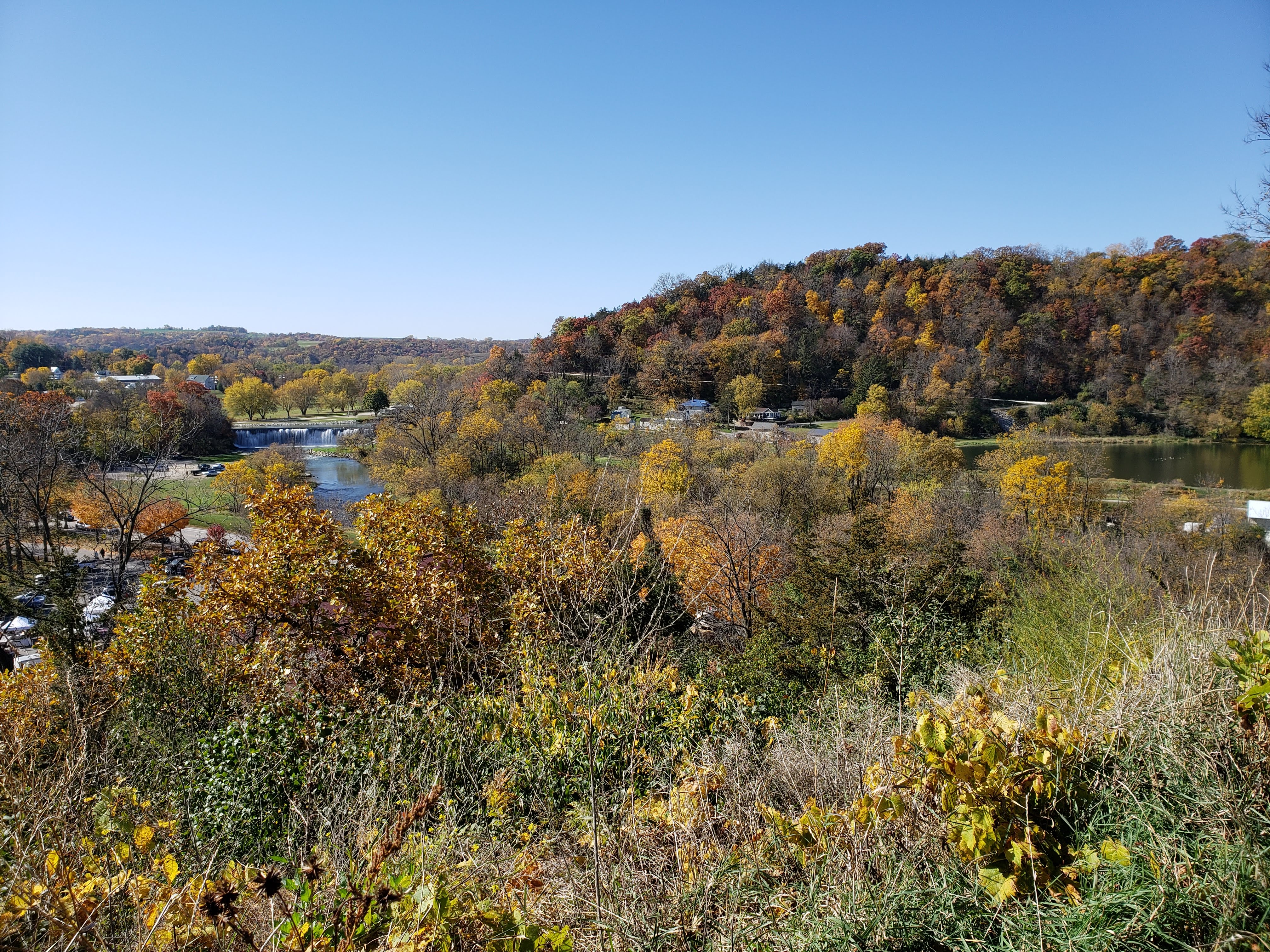
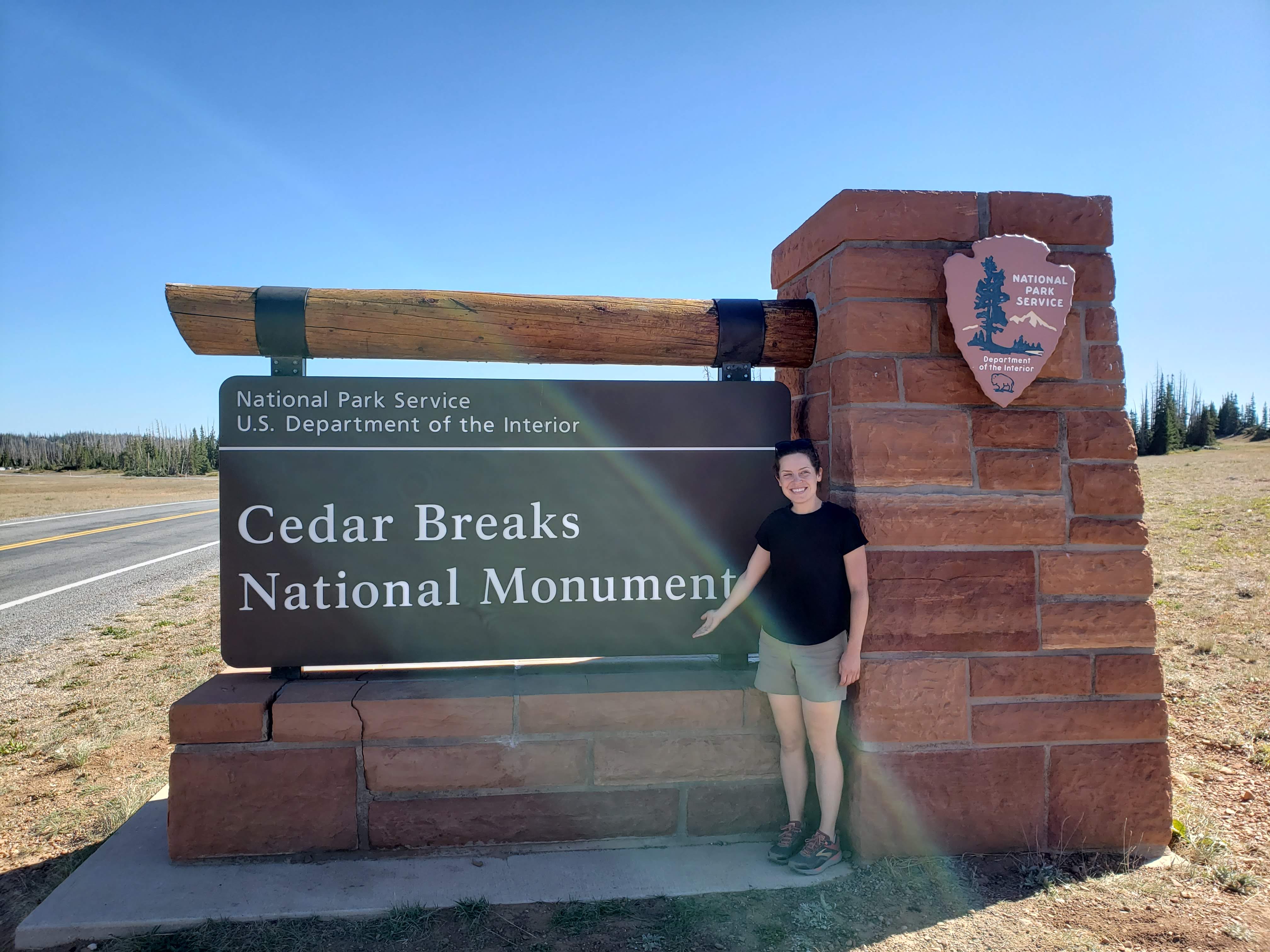
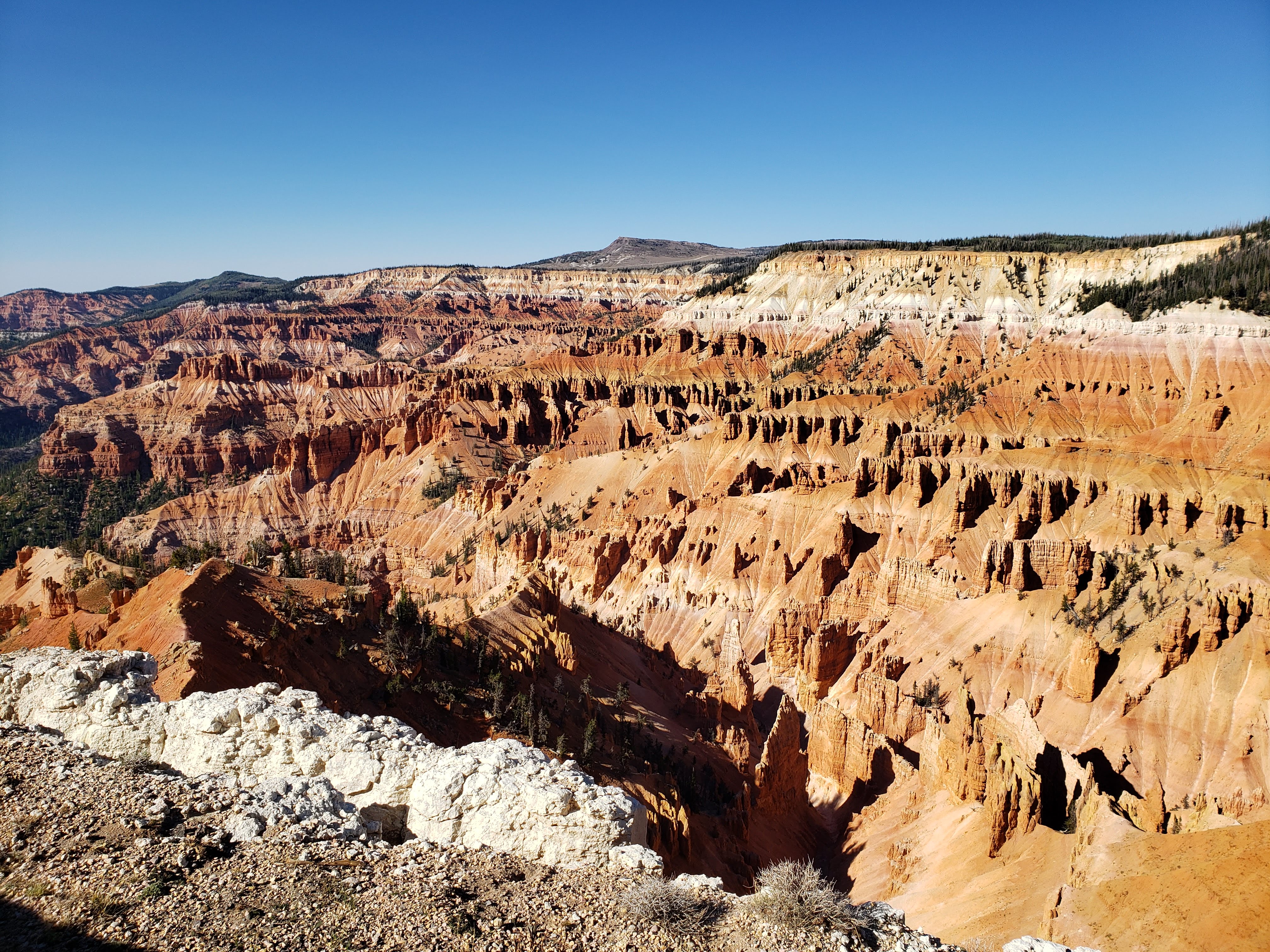
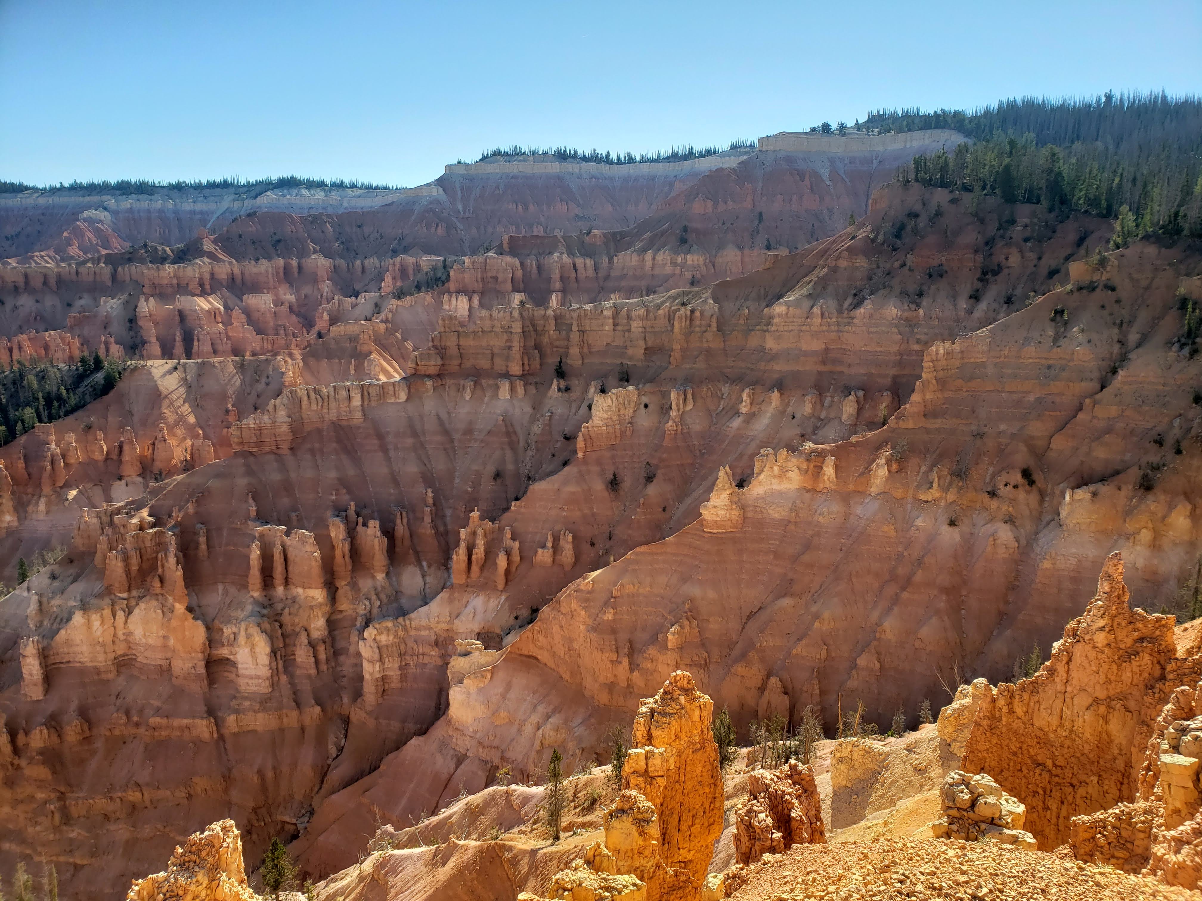
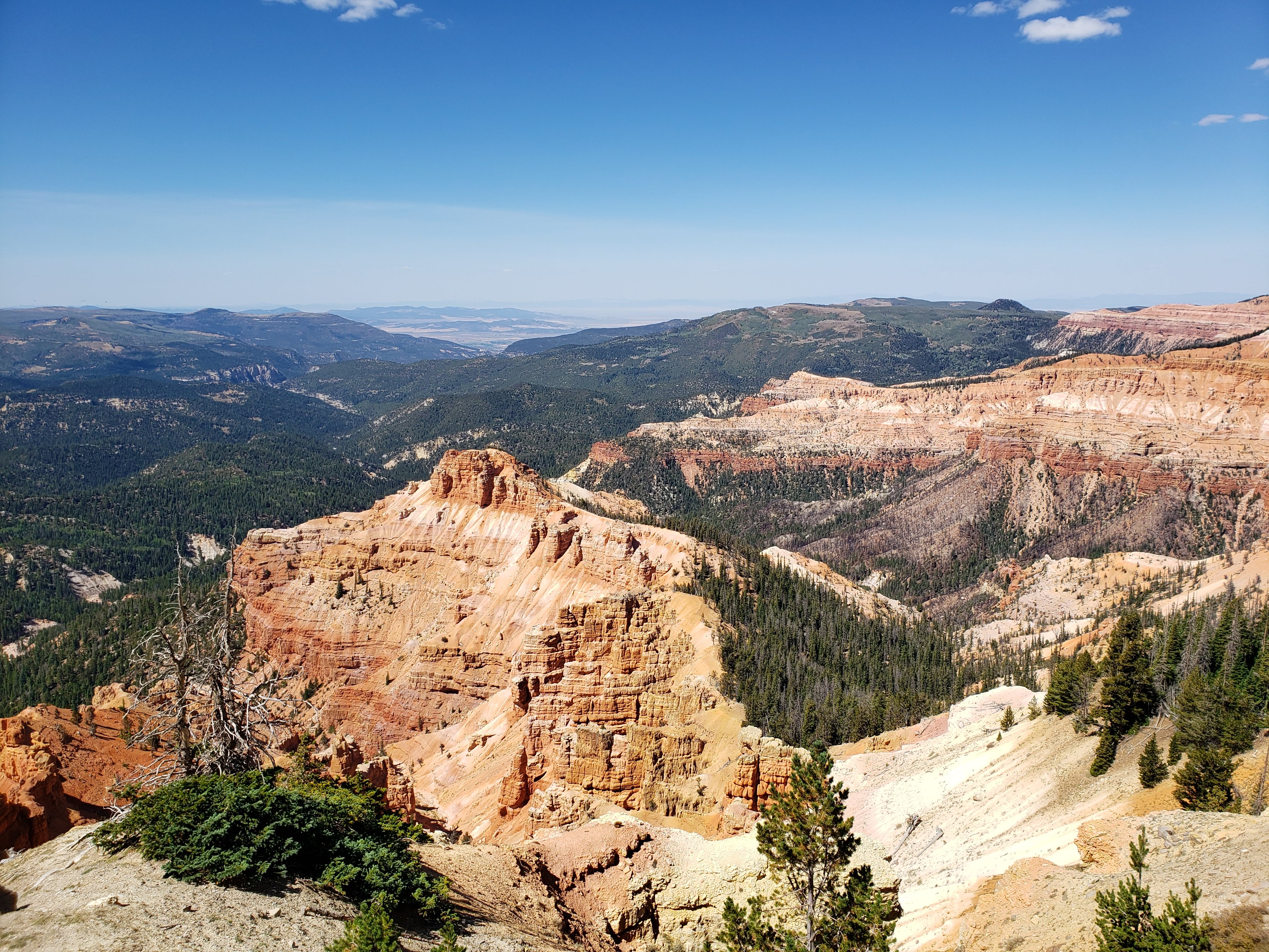
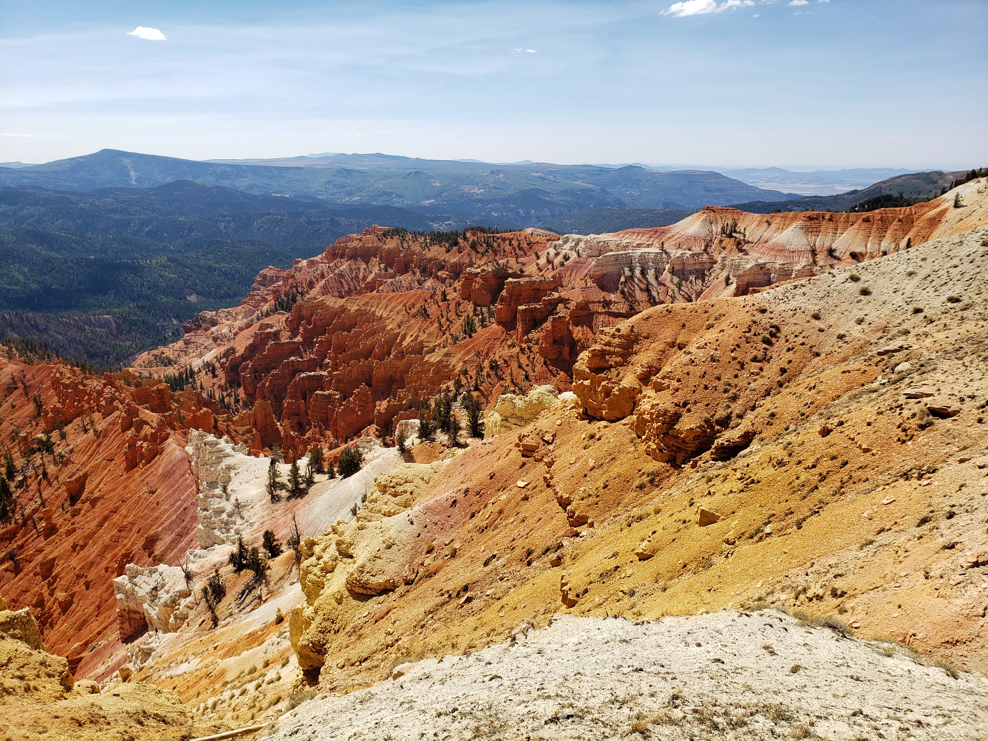
We continued on to Cedar Breaks National Monument. You don’t hear much about Cedar Breaks NM. Relative to the other national parks in Utah it doesn’t get much publicity. It’s relatively close to Bryce Canyon National Park but since it’s designated as a monument and not a park it doesn’t get the same attention. We stopped at the entrance to take the obligatory park sign photo.
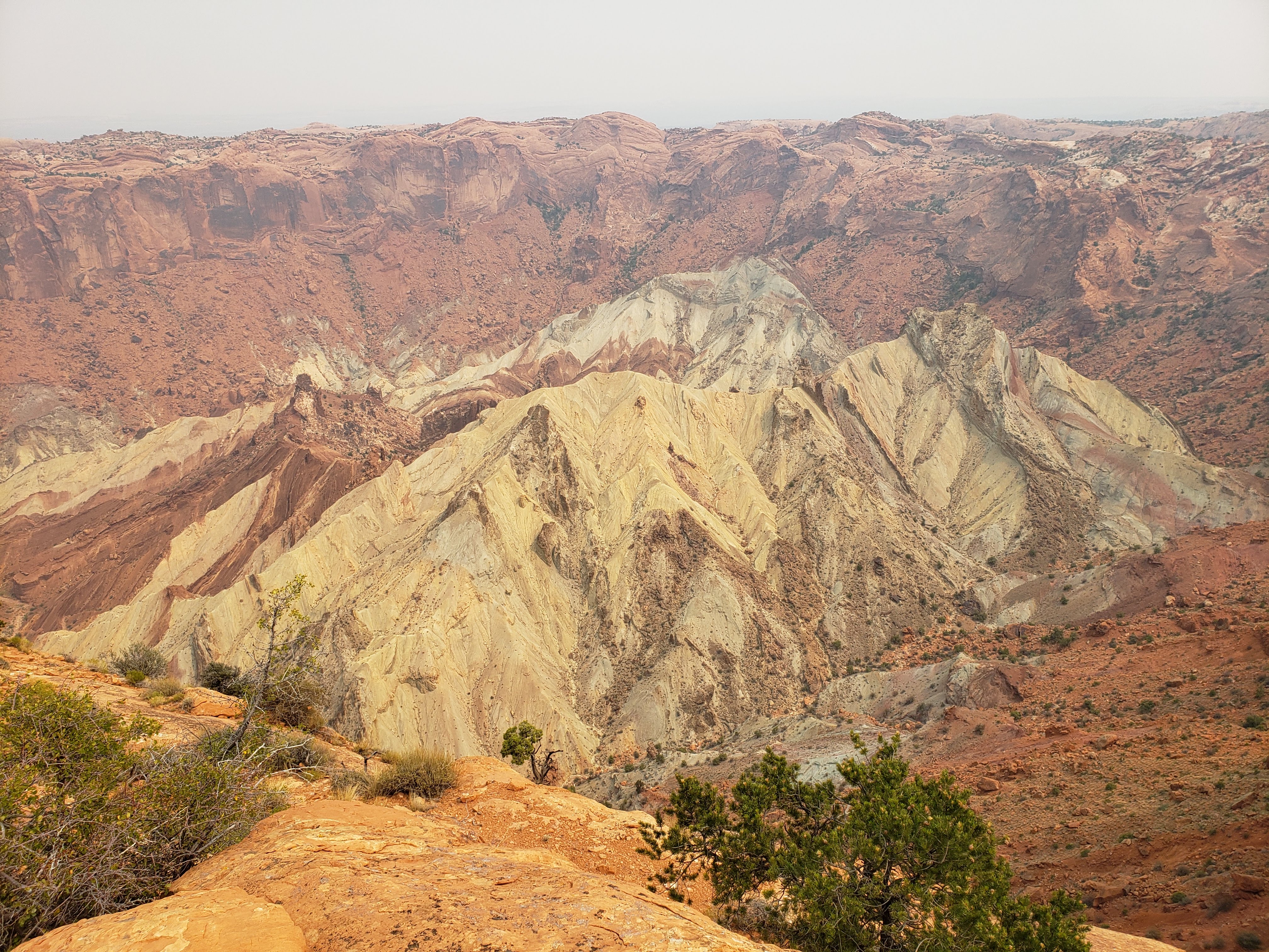
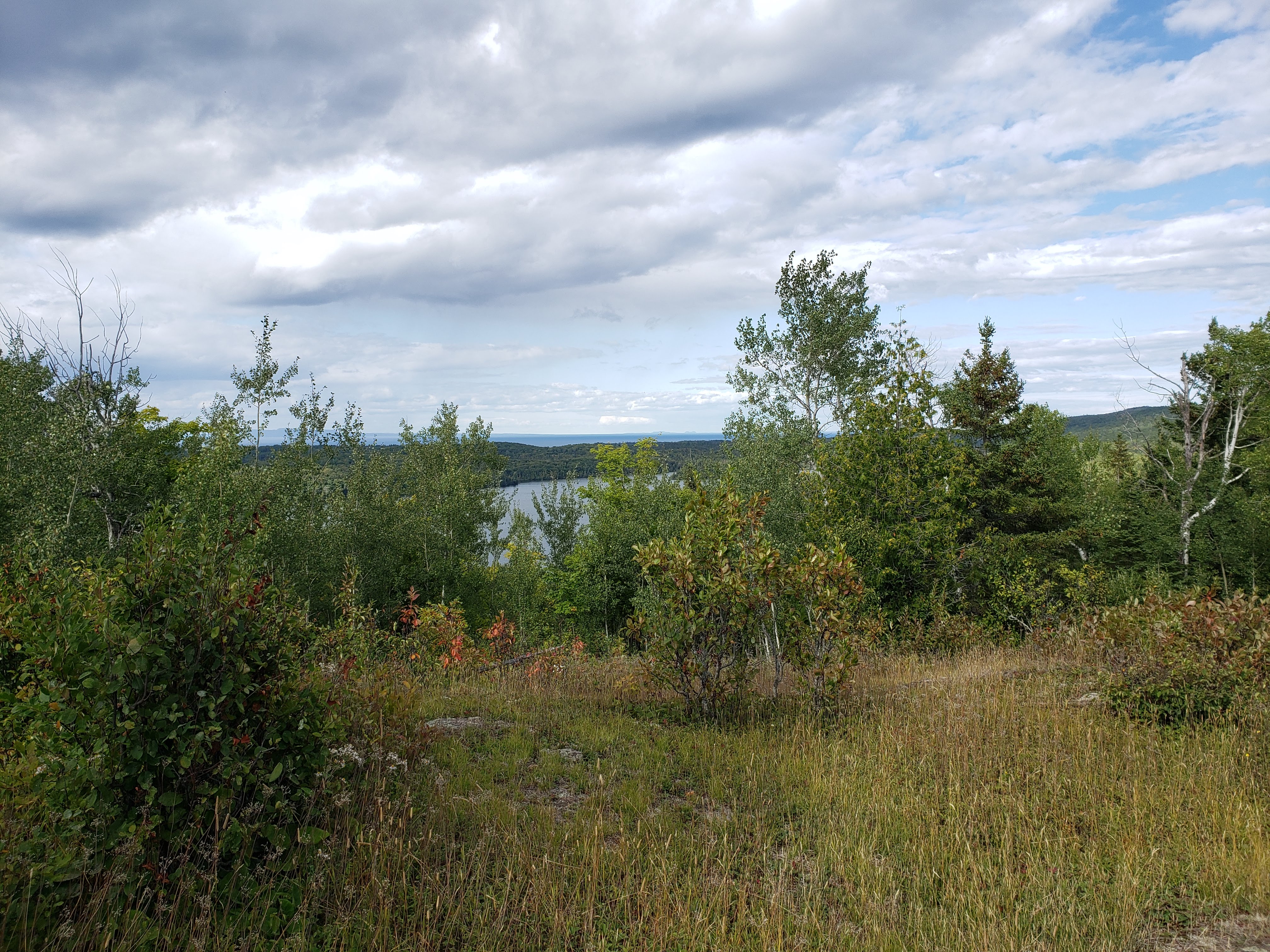
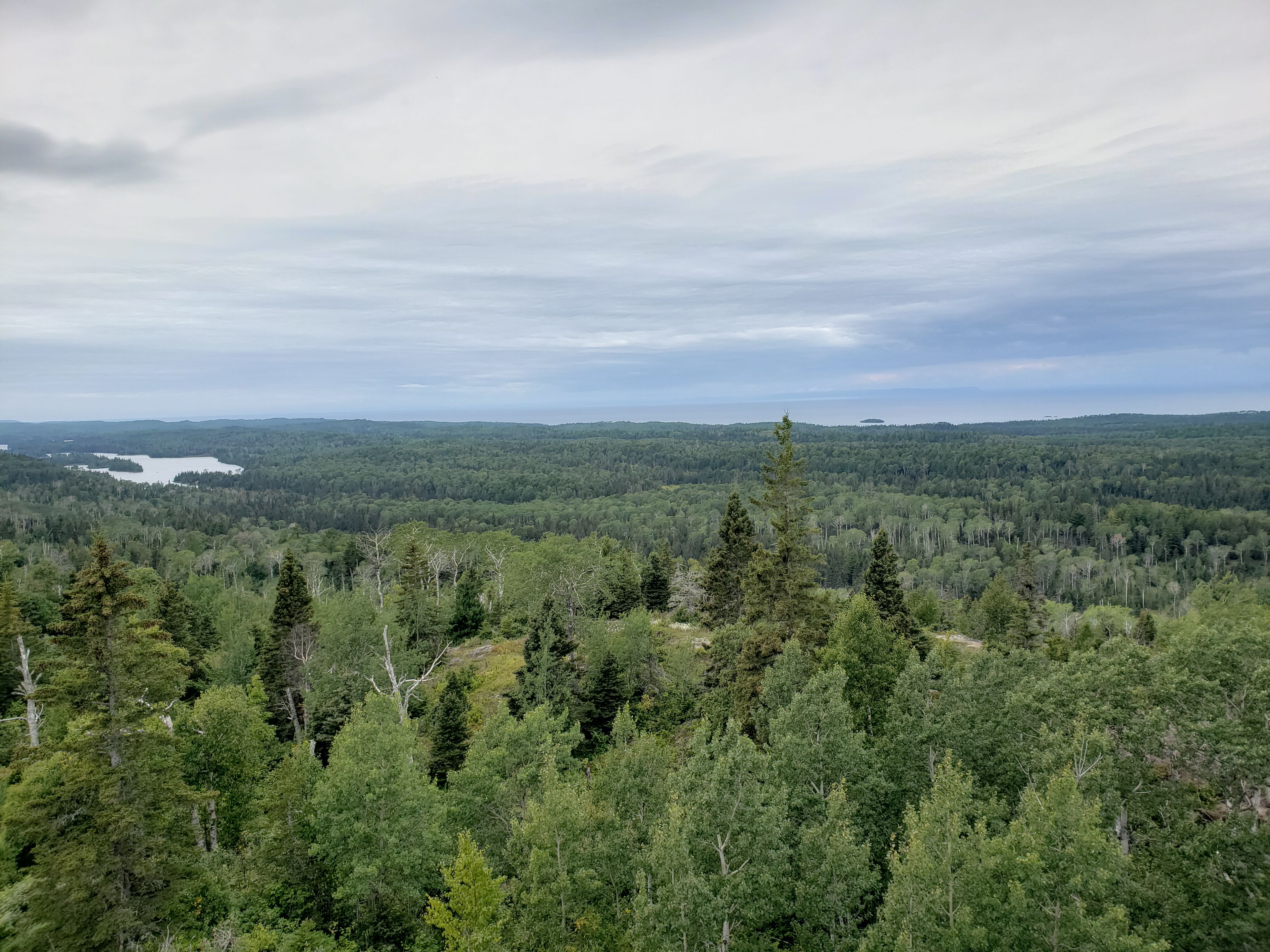
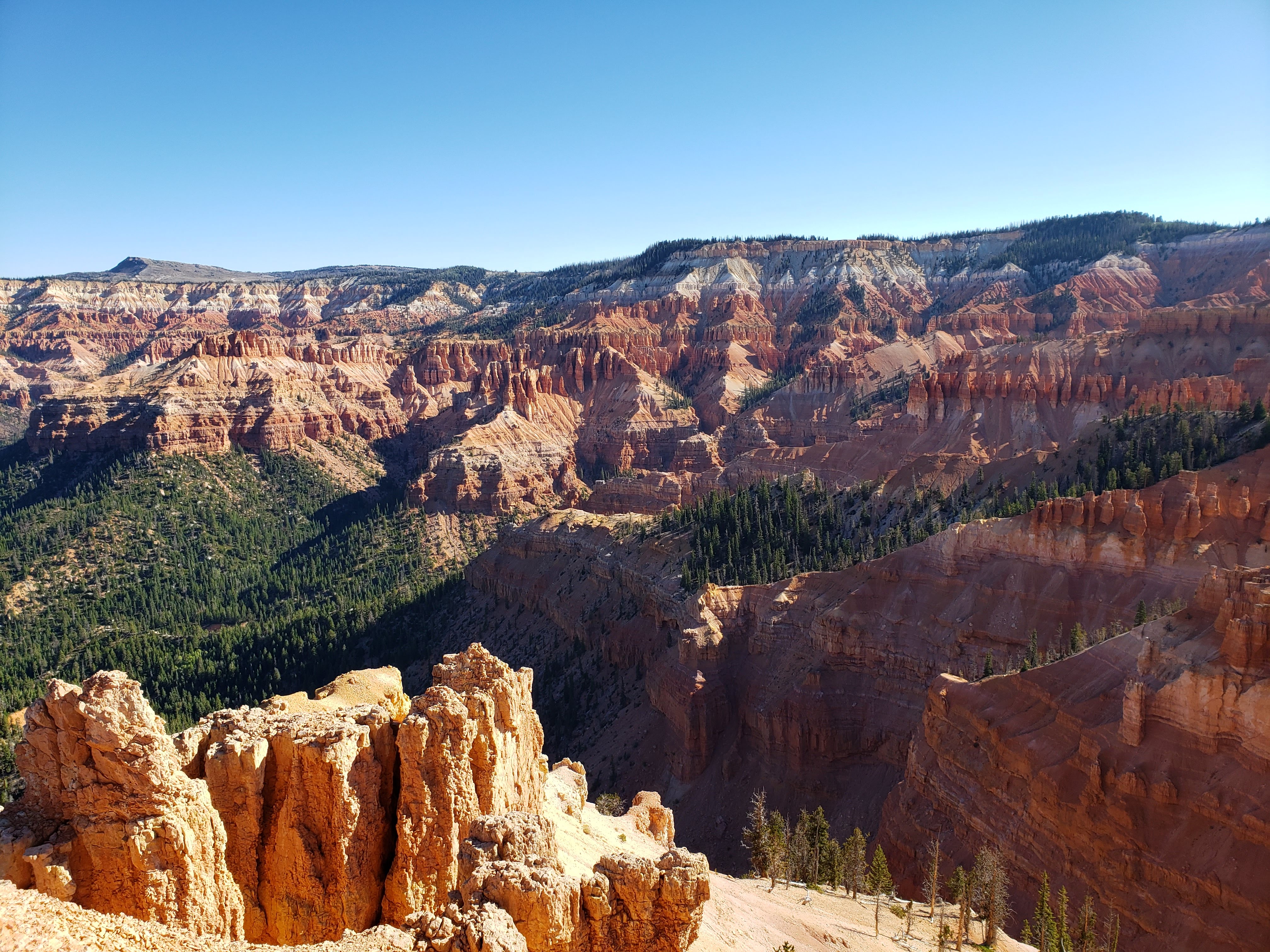
First we stopped at the North View Overlook. The view into Cedar Breaks Amphitheater was incredible.
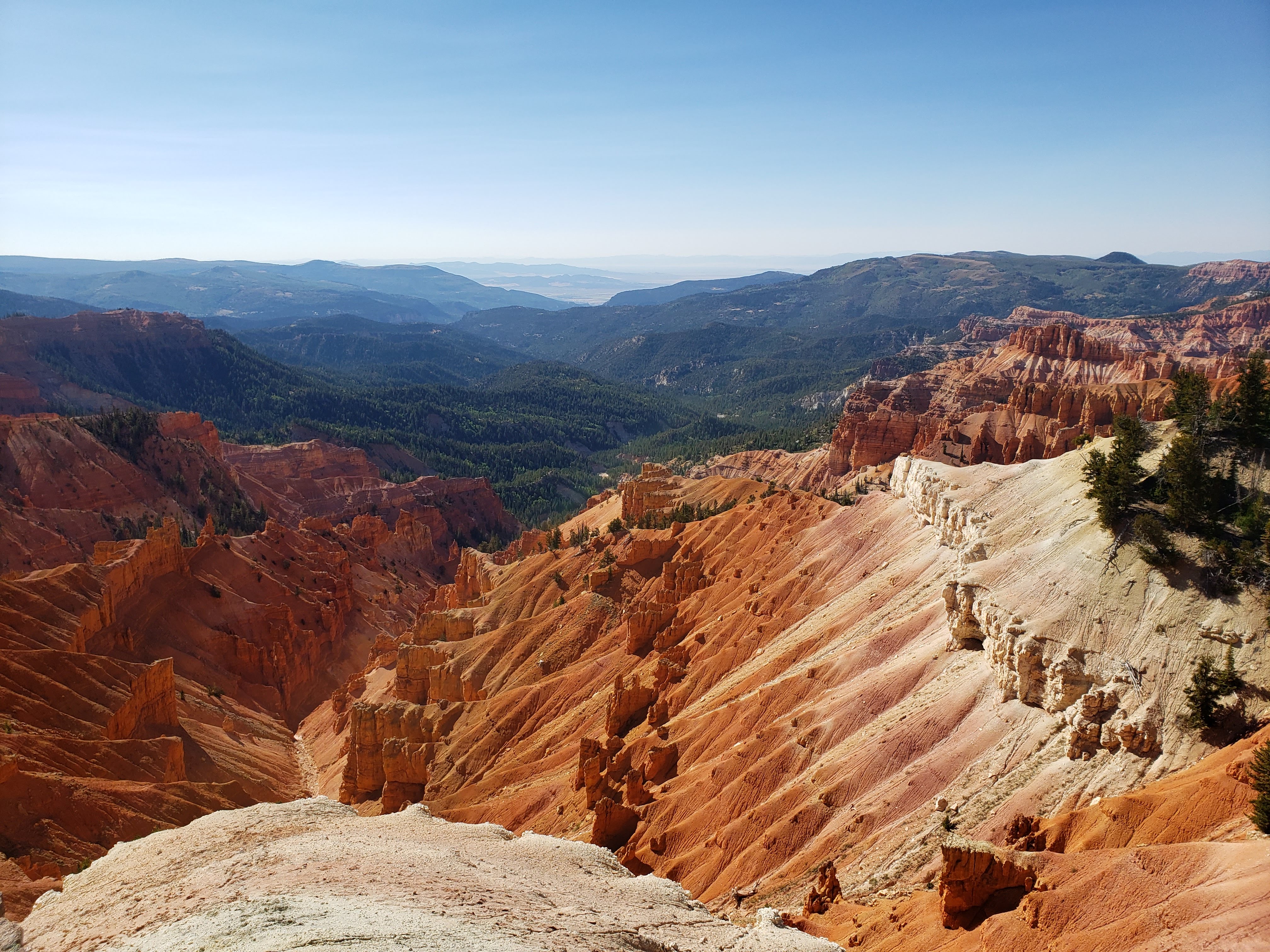
Next we drove to the visitor center to get a map and buy postcards. We walked out to the Point Supreme Overlook and took some more photos.

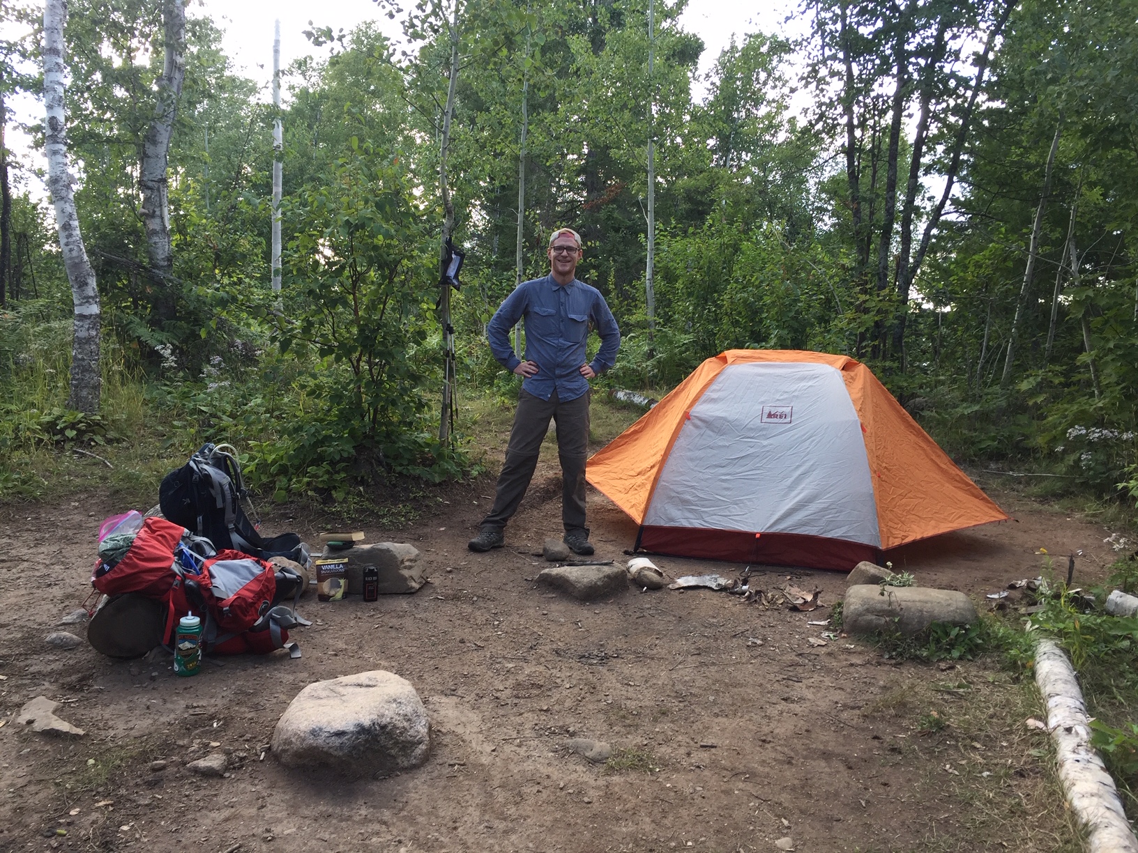
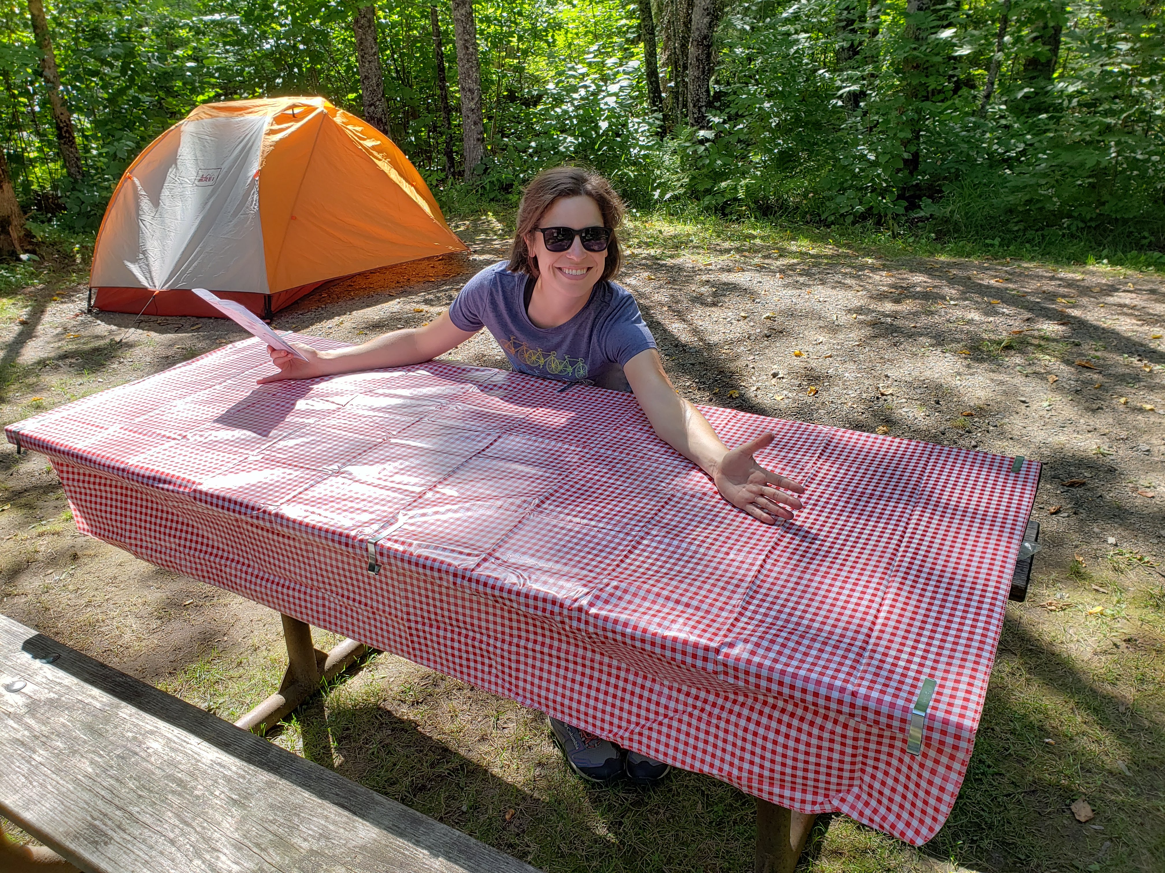
Next we headed to the campground where we would be staying for the next two nights. There was only one loop with 25 total sites. The campground at Cedar Breaks NM sits at about 10,400 feet above sea level. That’s easily the highest elevation that I’ve ever slept at (not counting airlines). Another cool thing about the campground was that there was a shower. The shower doors were locked with a keypad so first we had to get the code from the campground host. While talking to him, he warned us that “one of the shower drains is clogged” but he didn’t know which one (there were two showers). Leah took the first shower and guessed wrong. I chose the other shower and mine drained just fine. Having a shower was a real treat after going days in the hot desert without one.
We set up our campsite and ate snacks and drank beer. The beer was from Kiitos (meaning “thank you” in Finnish) Brewing—which is located in Salt Lake City. We picked up a sampler pack of their beer when we stopped at Smith’s. We made mac and cheese for dinner. It took much longer to boil water due to the high elevation.

We no longer were restricted by a fire ban so I built one after dinner for us to sit next to. Leah bundled up in five layers of clothing. The lows were going to be in the low 40s the next two nights. Even though it wasn’t going to rain we still put up the rain fly for added warmth. Leah read by the fire and I worked on my journal. We had the entire next day for exploring Cedar Breaks NM and the surrounding area. The highs were going to be in the 60s—perfect hiking weather.
Total miles hiked: 6 Weather: Highs in the 90s depending on location/elevation
Day 11 – Cedar Breaks National Monument
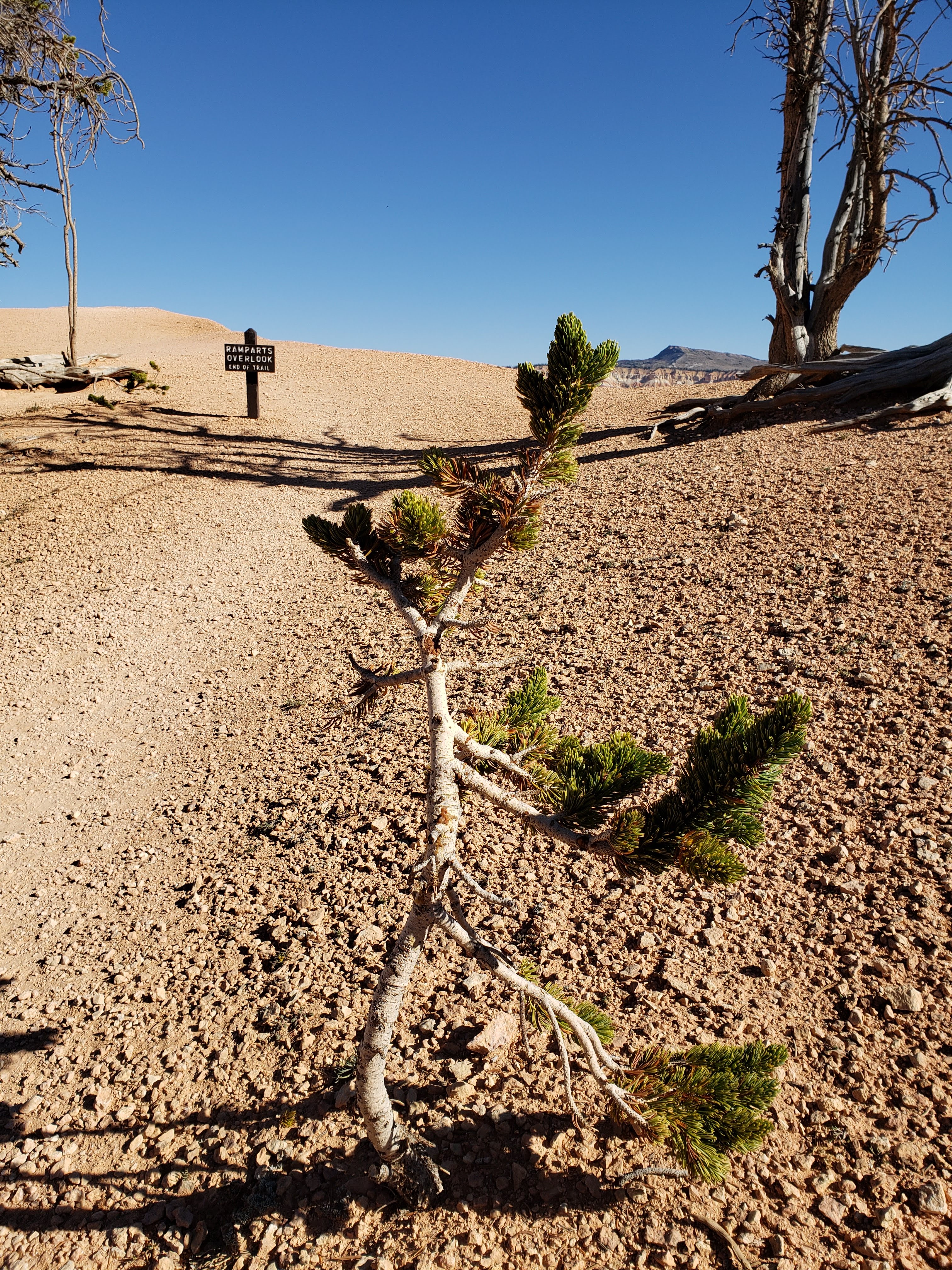
I woke up to pee at about 11:30 PM. The stars were vibrant—Cedar Breaks NM is another dark sky park. I also heard coyotes chirping and howling overnight. The morning was cool but not too cold. We ate oatmeal for breakfast and set off on our first hike. We walked from the campground to the Ramparts Overlook hike.
The hike was beautiful and full of great views all around.

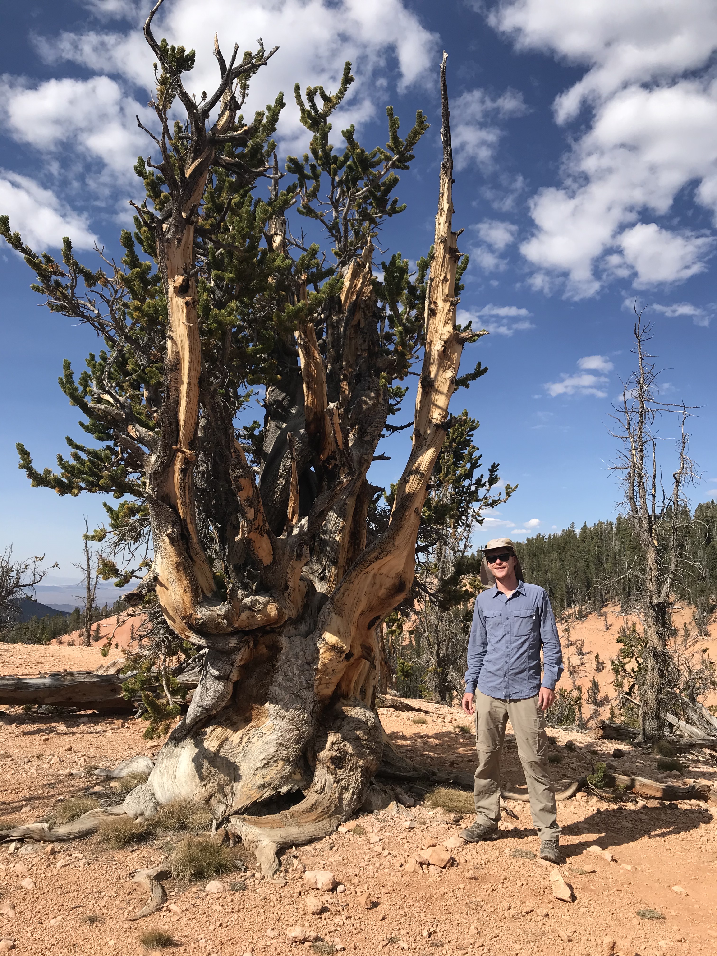
The trail also included many bristlecone pines which are incredible trees. They are renowned for being the oldest single living organisms on the planet—they have been known to survive for over 4000 years. Bristlecone pines also grow in distorted shapes and twists giving them a gnarly appearance. They often have very little green growth—making them appear dead—which is an adaptation for the extremely harsh environment that they grow in.

I was getting winded easily due to the steep trails and being at such high elevation. The trail wasn’t too long and really highlighted the incredible views at Cedar Breaks NM—I’d definitely recommend it.
We returned to the start of the Ramparts Overlook hike which was next to the visitor center. We stopped to have a snack on a bench. Next we headed out on the Sunset Trail. The Sunset Trail was mostly paved and flat and led to the Sunset View Overlook. The trail itself wasn’t too exciting but it was still pretty.
On returning from the Sunset View Overlook, we took the turnoff back to the campground and had lunch at our campsite. Next we got in the car and drove to the Chessman Ridge Overlook to start the Alpine Pond Trail. We picked up an interpretative trail guide at the parking lot (they were $2 but Leah said she’d return it when we were done). The interpretive trail guide helped us learn about and identify different trees in the area.
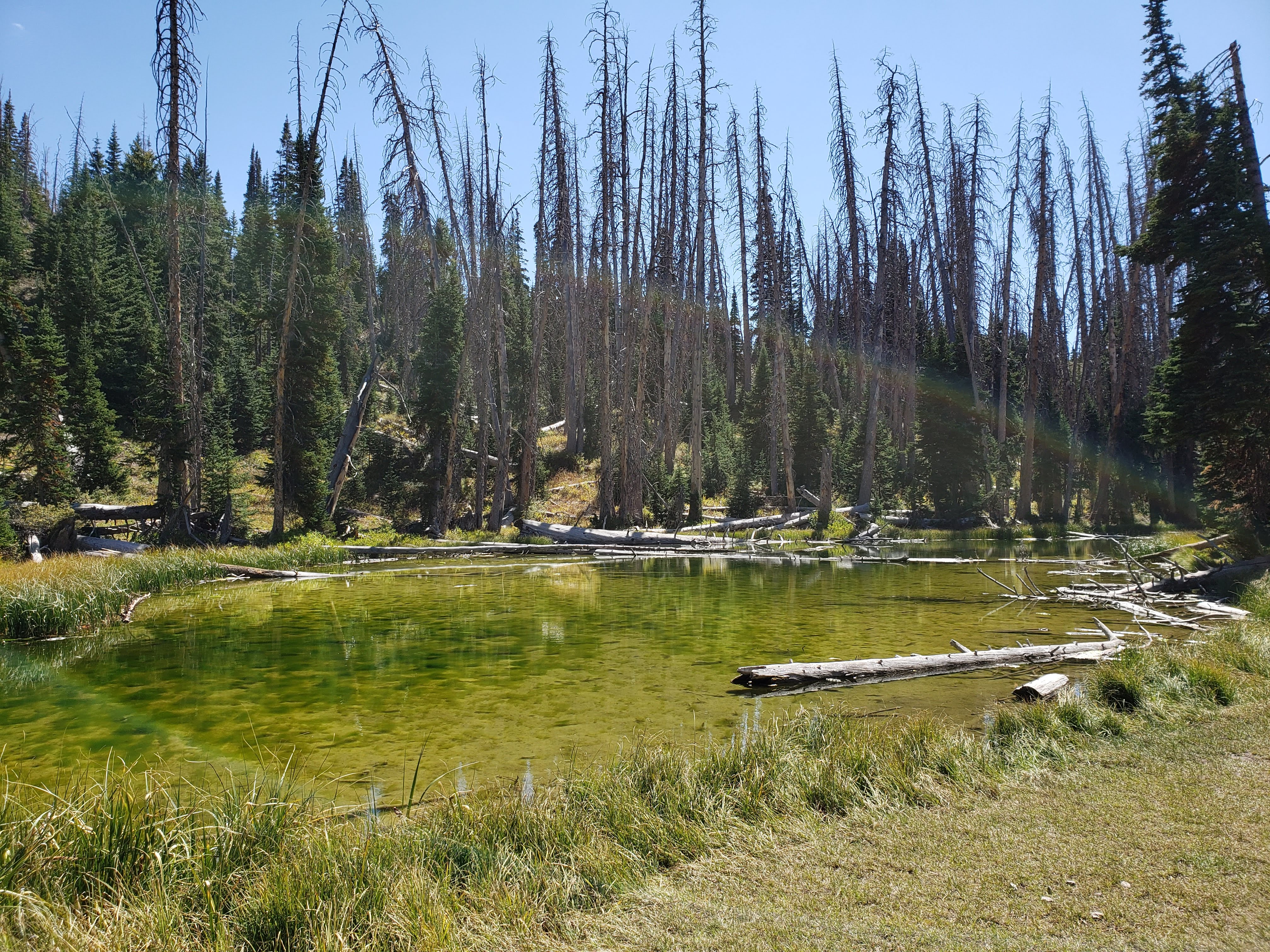
The views from the trail were nice. Also, there was indeed a pond.
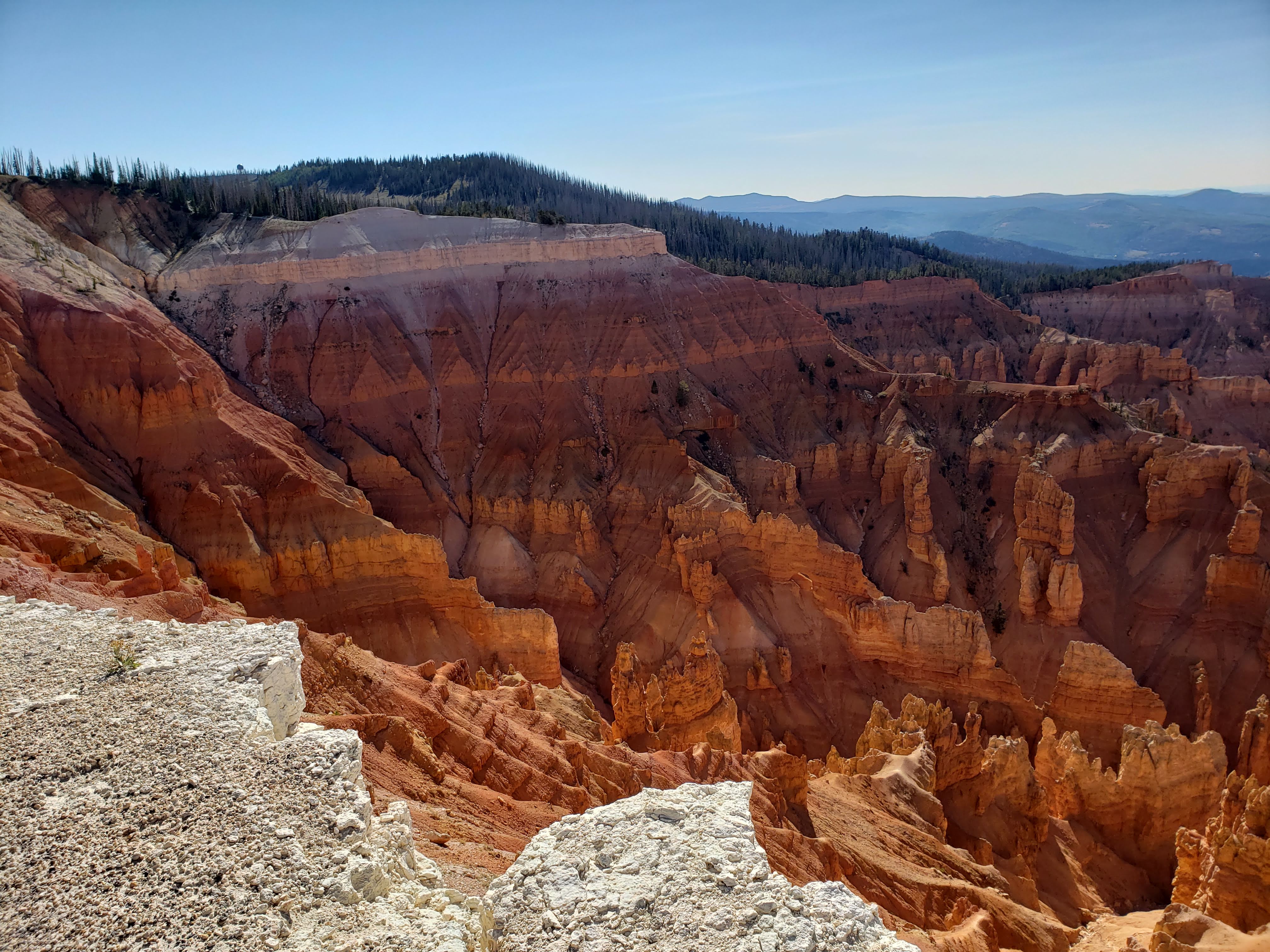
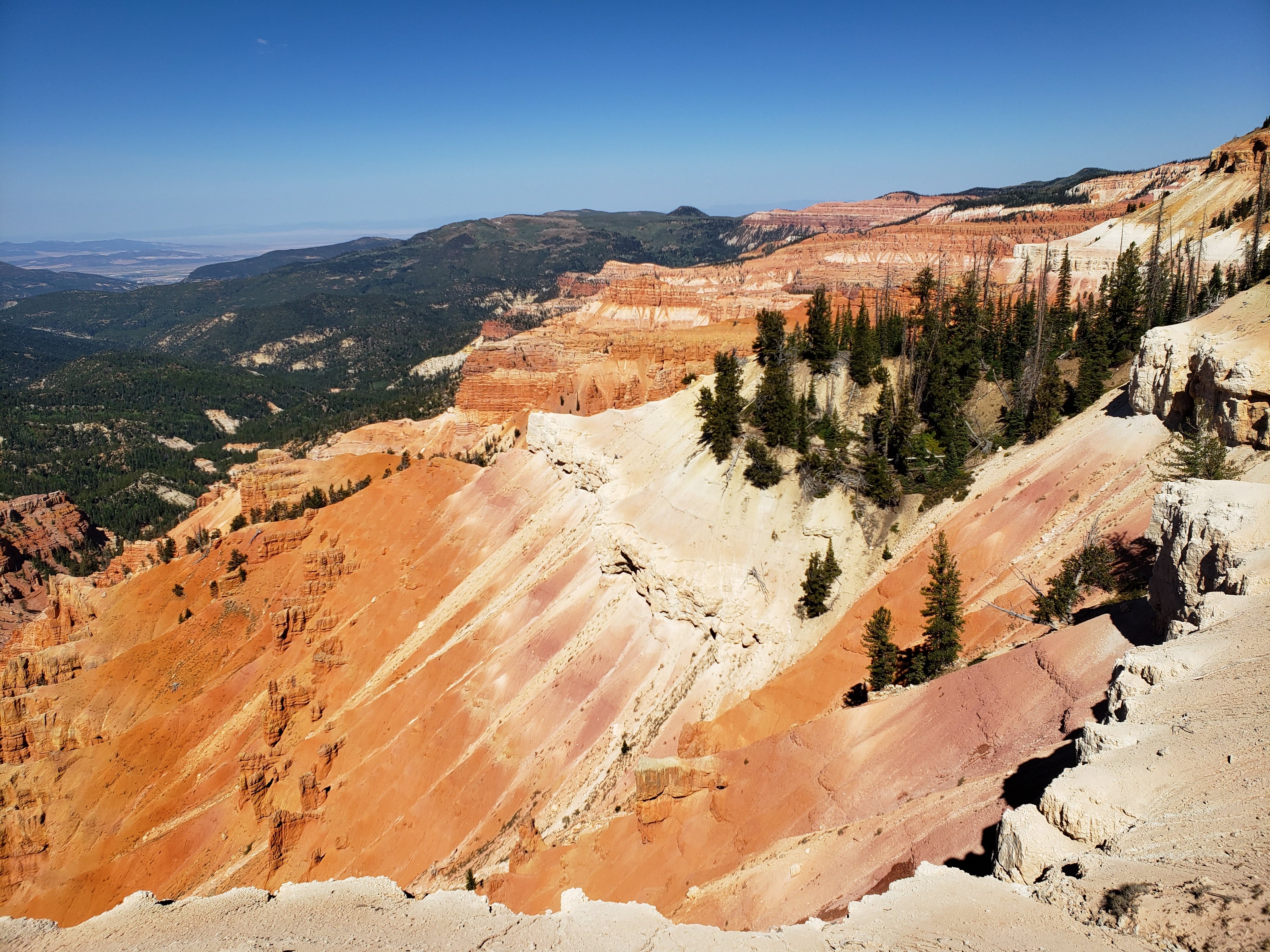
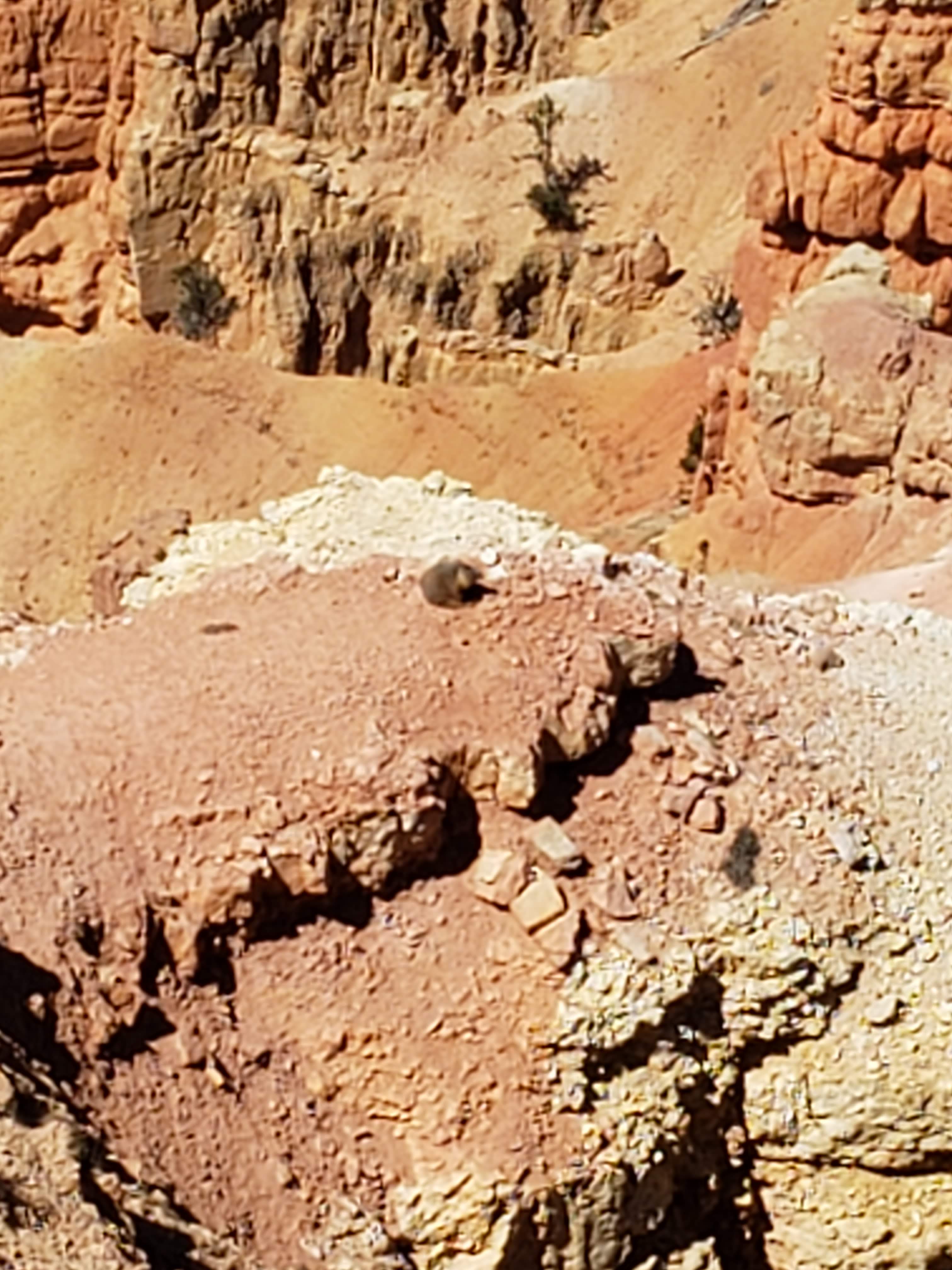
We returned to the trailhead and put the trail guide back. We also paid $1.05 to the donation box from the loose change that we had on us. Next we drove to the North View Overlook. There we saw a marmot sunning on a rock fin.
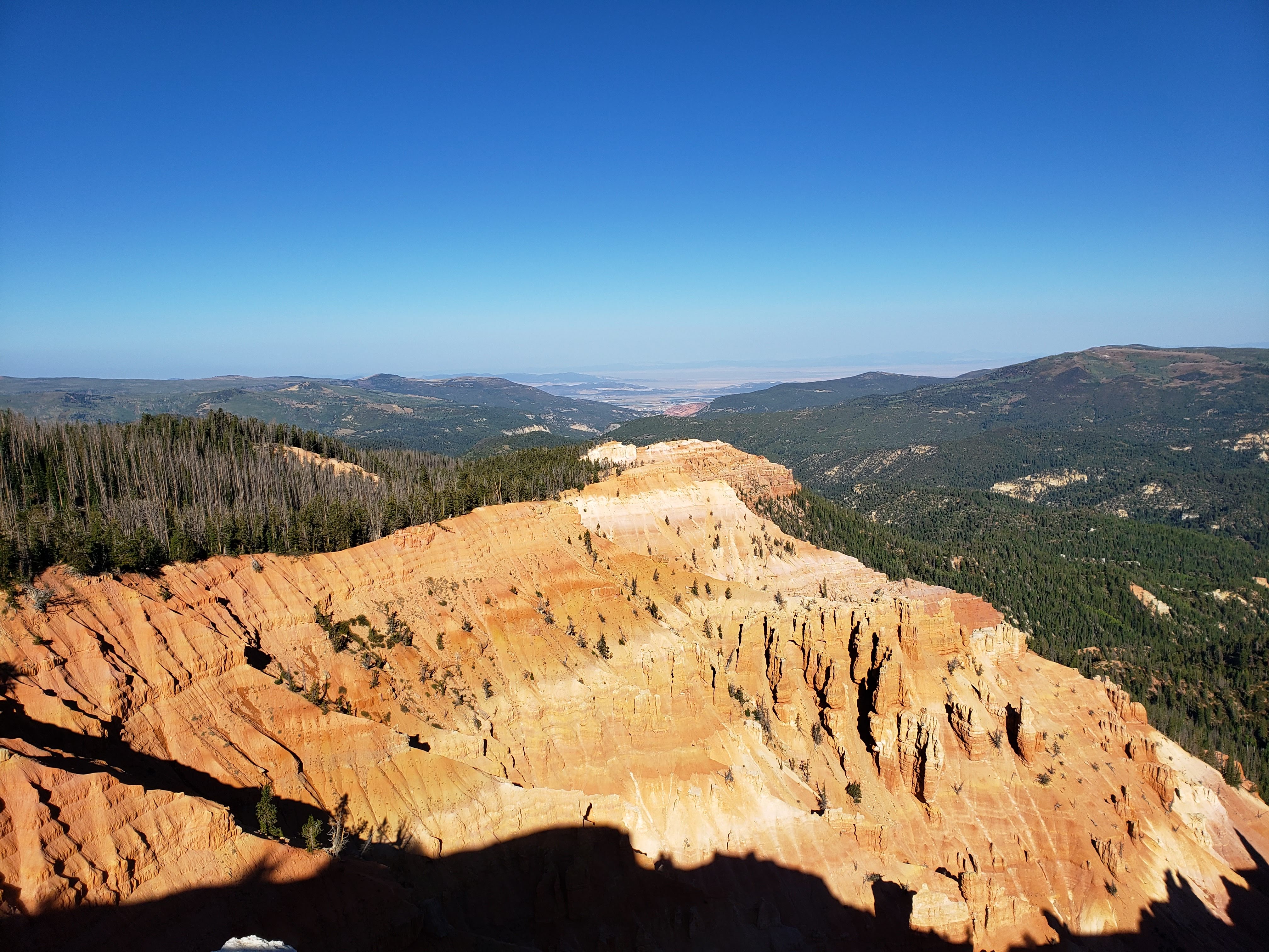
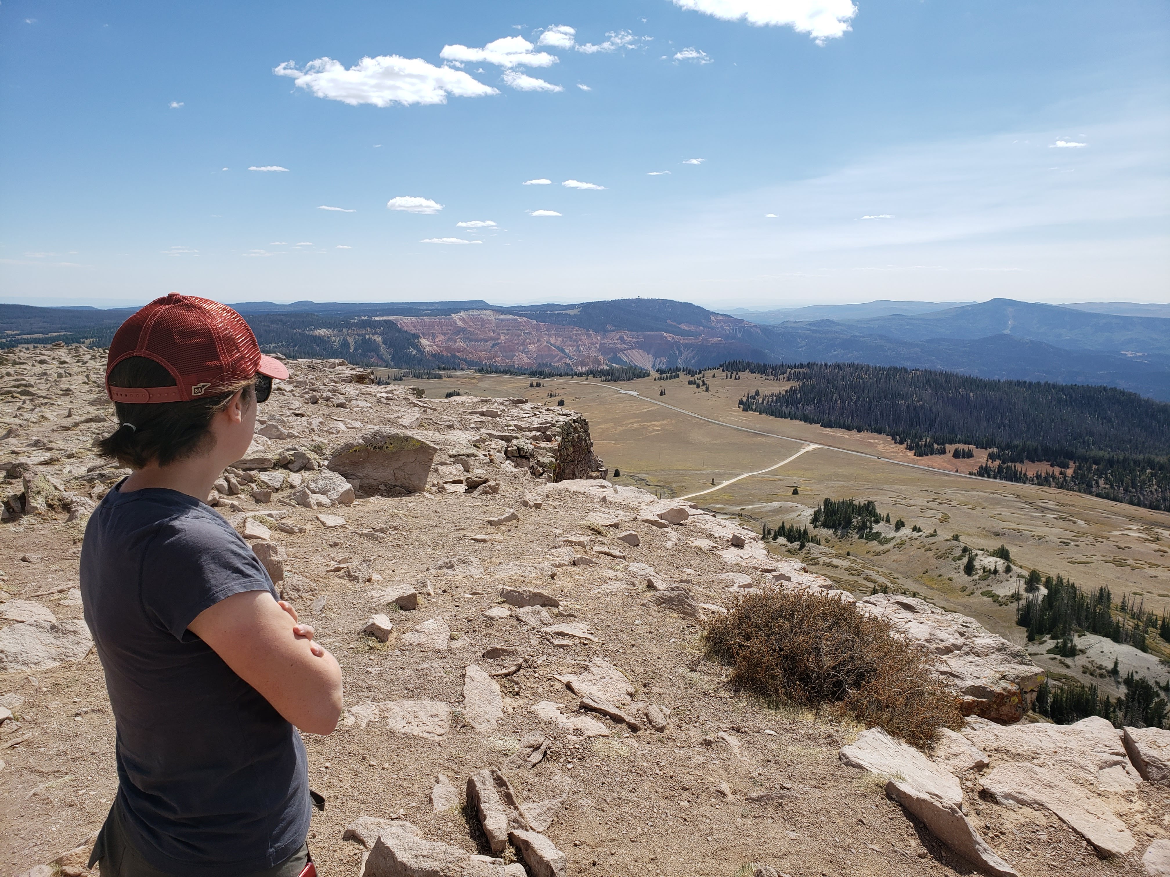
Next we drove up a three mile dirt road to the top of Brian Head Peak. The dirt road was in okay condition. We saw some marmots on the drive up and down. They’re cute chubby-looking creatures that were darting behind cover as we drove past. There were a few other people at the summit that had also driven up.
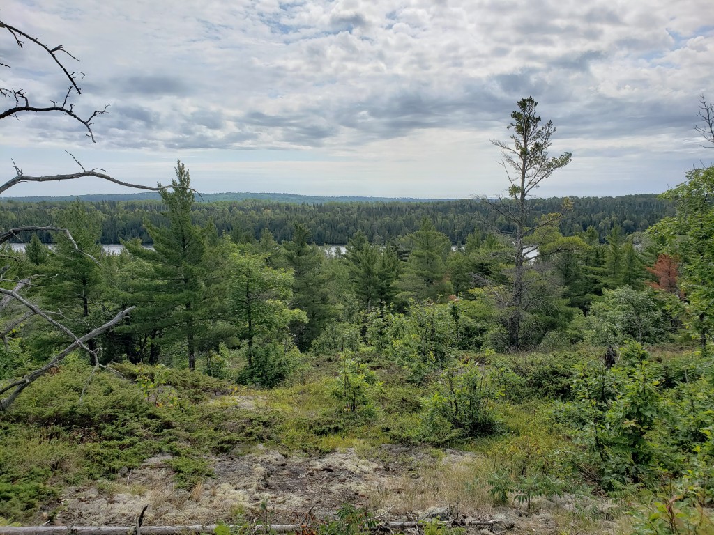
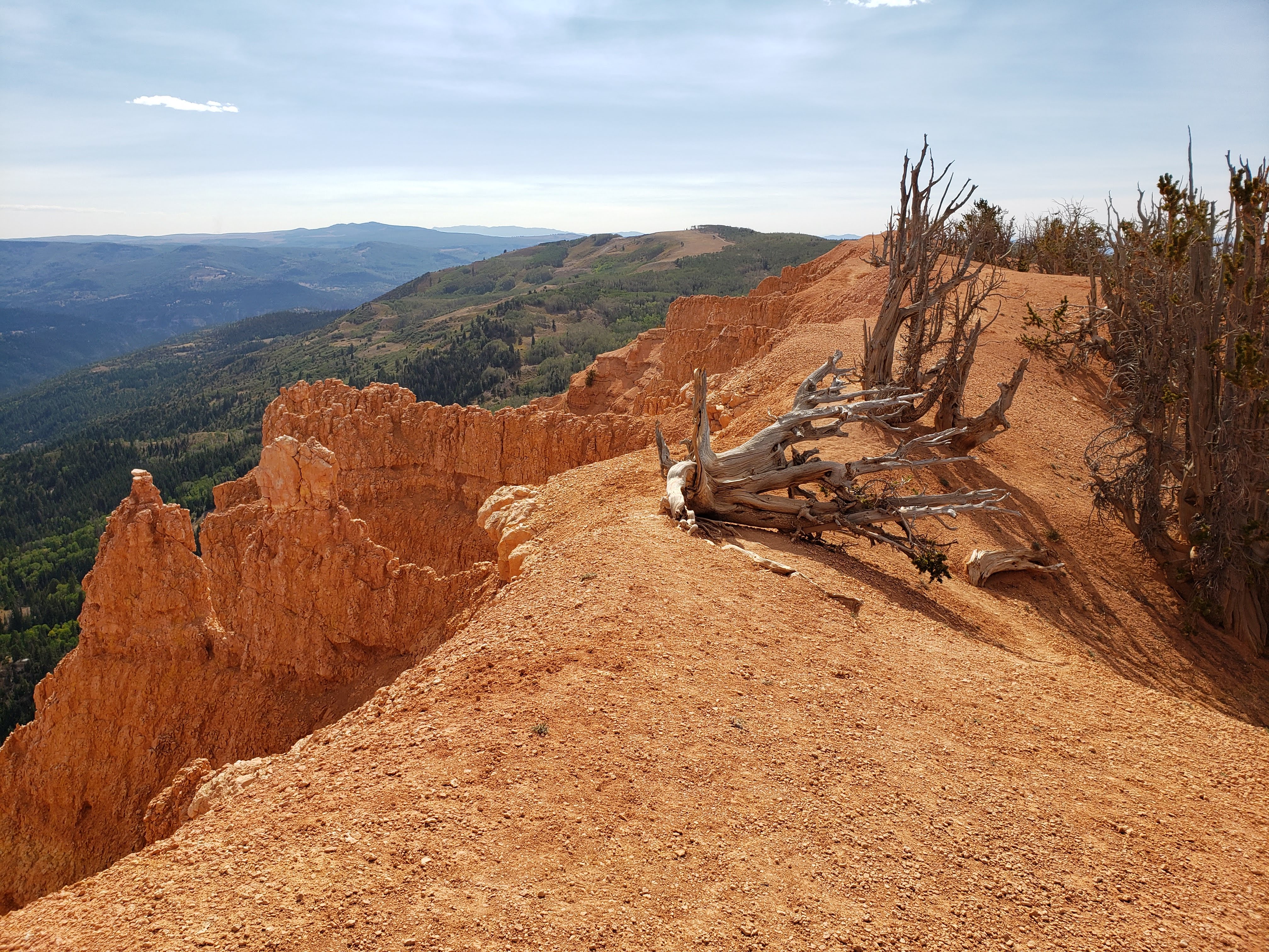
We walked around a little at the top and took some photos. The views were very broad and stunning.
Next we drove back down the dirt road and headed towards the Twisted Forest Trail as per a recommendation from a ranger intern. We eventually turned off the main road and onto a bumpy and sketchy forest service road for about 3.5 miles. We did fine on the road since we had four-wheel drive and decent clearance. I wouldn’t want to take my Corolla on that road. The forest service road also took us across some Brian Head ski slopes—one blue square and a couple green circles.
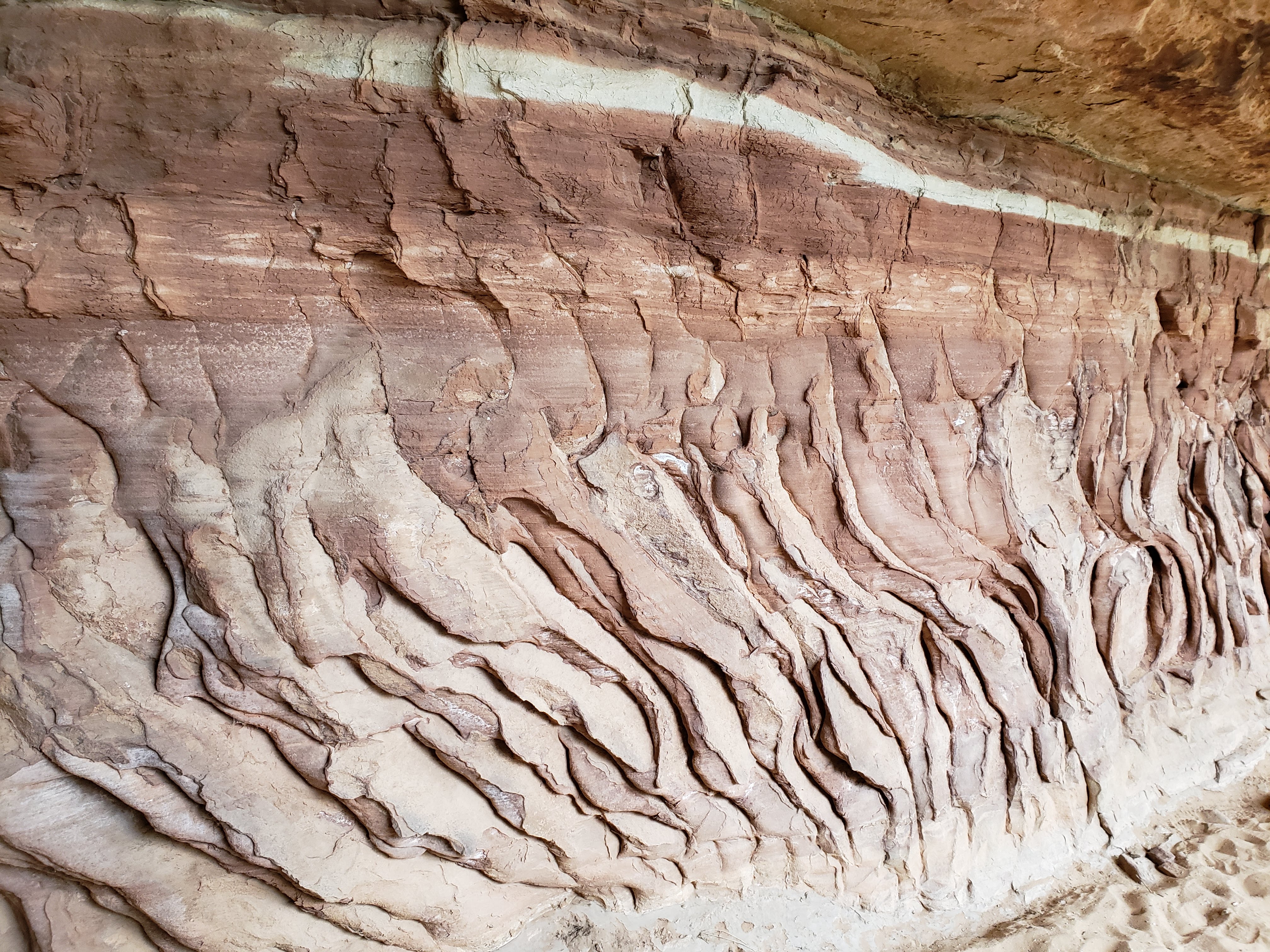
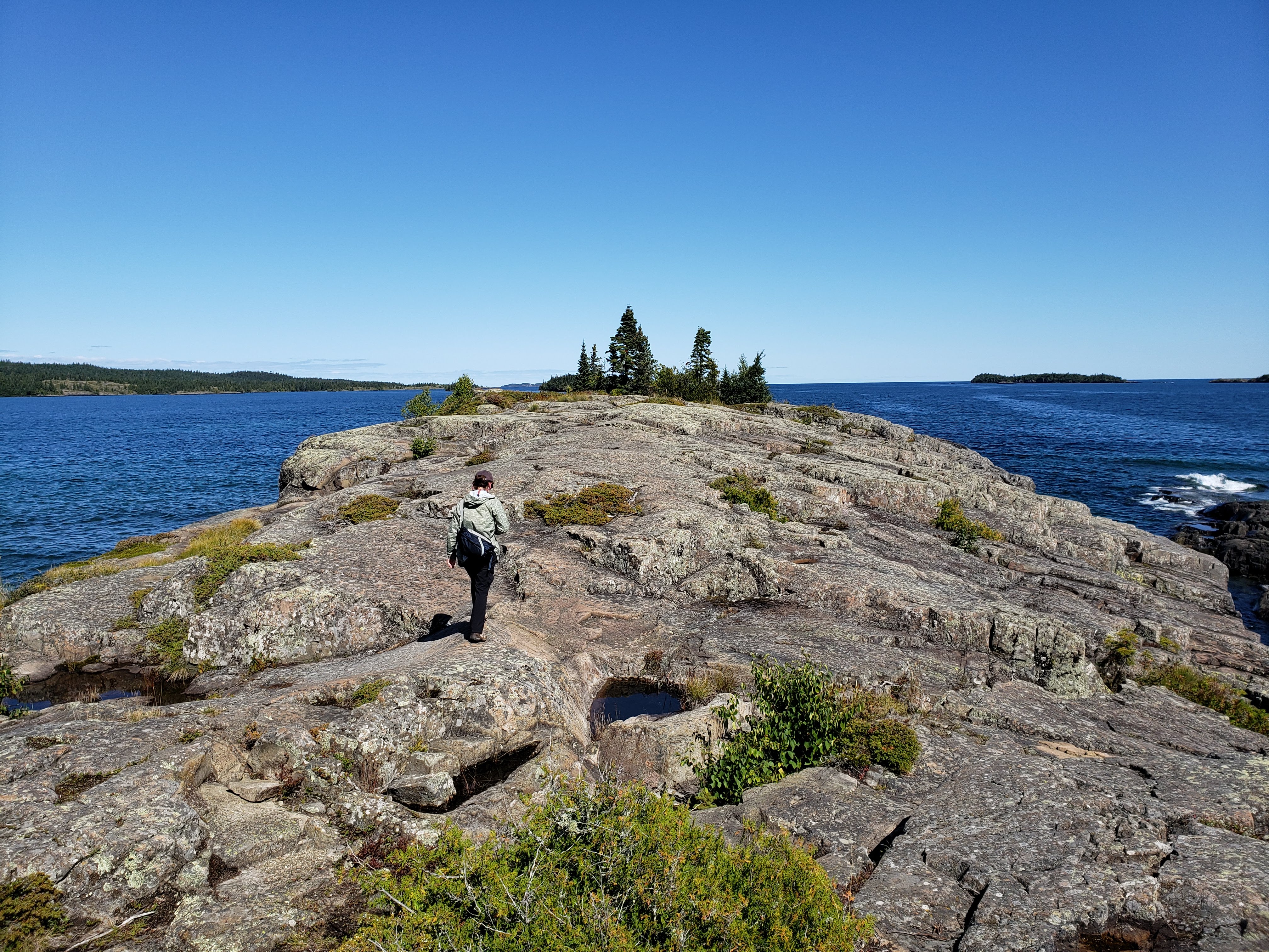
We finally arrived at the trailhead and there weren’t any other cars parked there. We expected it to be remote due to it being well off the beaten path. The hike was just like the ranger had described—like walking on another planet.
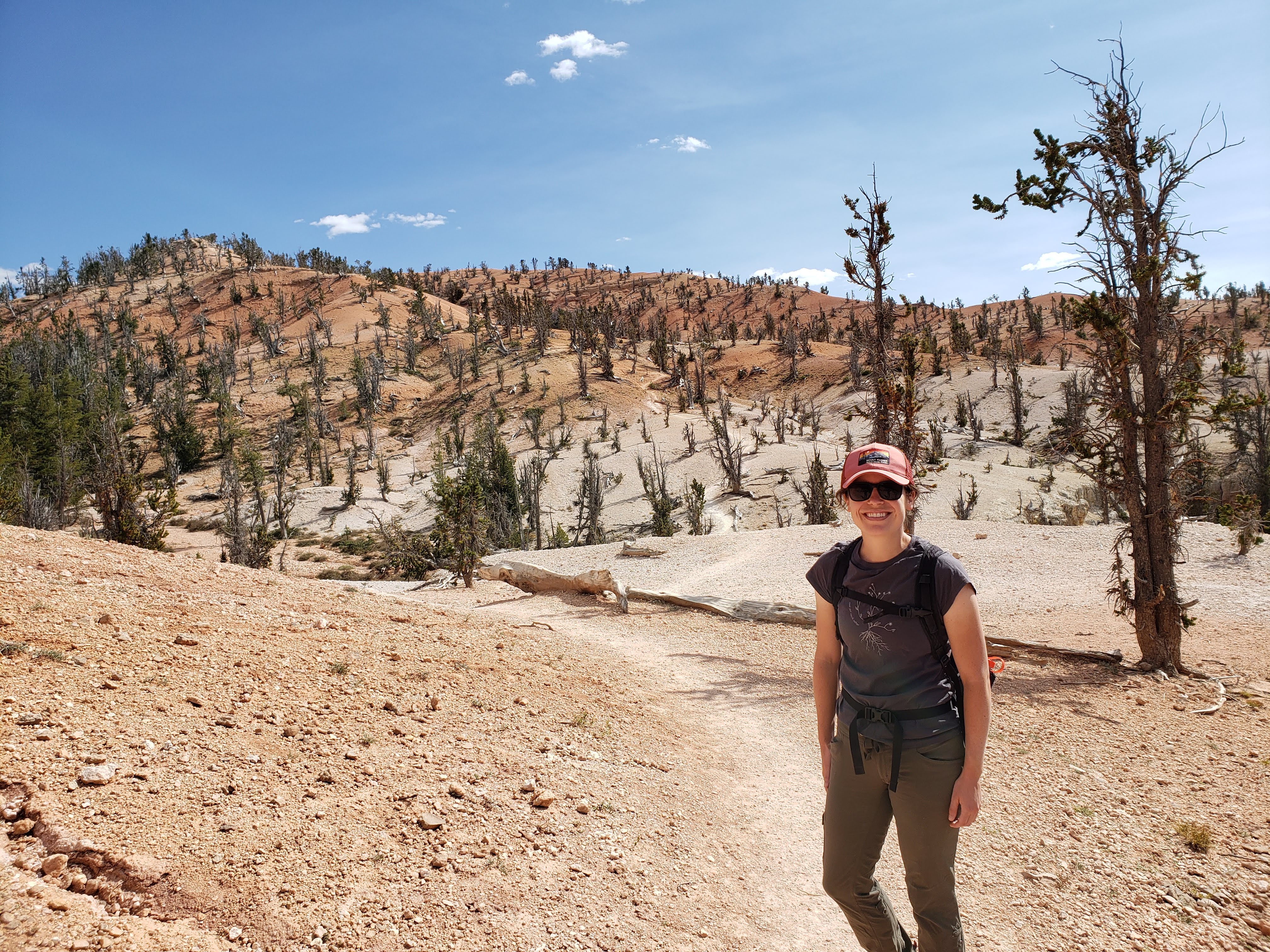
The red and white hilly landscape was dotted with tortured trees. The only things that could grow there were limber pines and bristlecone pines. It was both barren and beautiful.
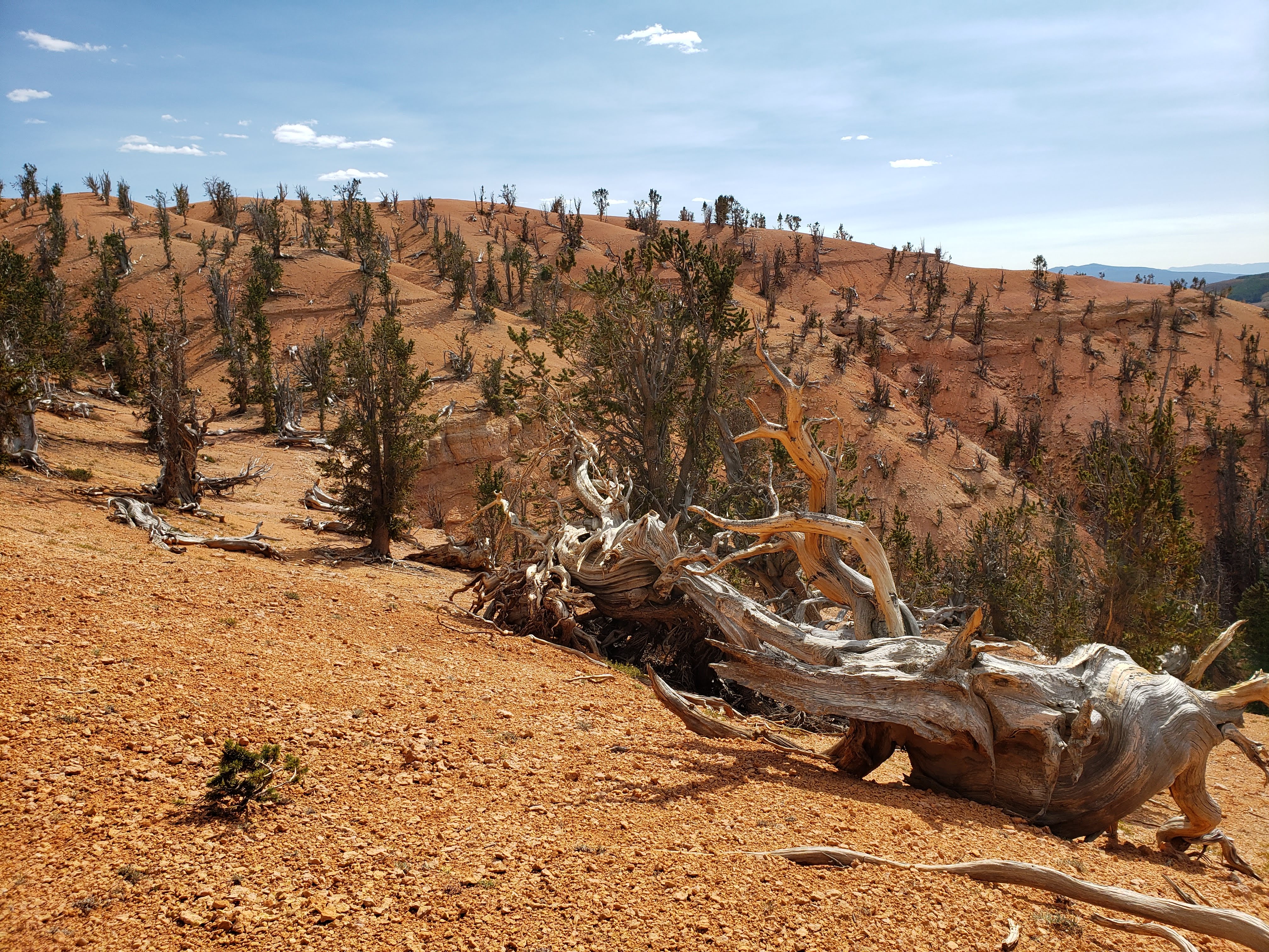
The trail was very steep and slippery in places due to it being mostly sand and rock. The Twisted Forest was surrounded by fir, spruce, and aspen groves. It was definitely a unique place.

We decided to turn around—there wasn’t really an “end” to the trail—at a random spot. We saw two other groups on our way back to the parking lot, so at least we weren’t completely alone. The car had trouble starting again—not a great sign when you’re miles into a bumpy dirt road with no cell service. Afterwards it seemed fine. Maybe it was just channeling Leah’s anxiety about driving on the forest service road.
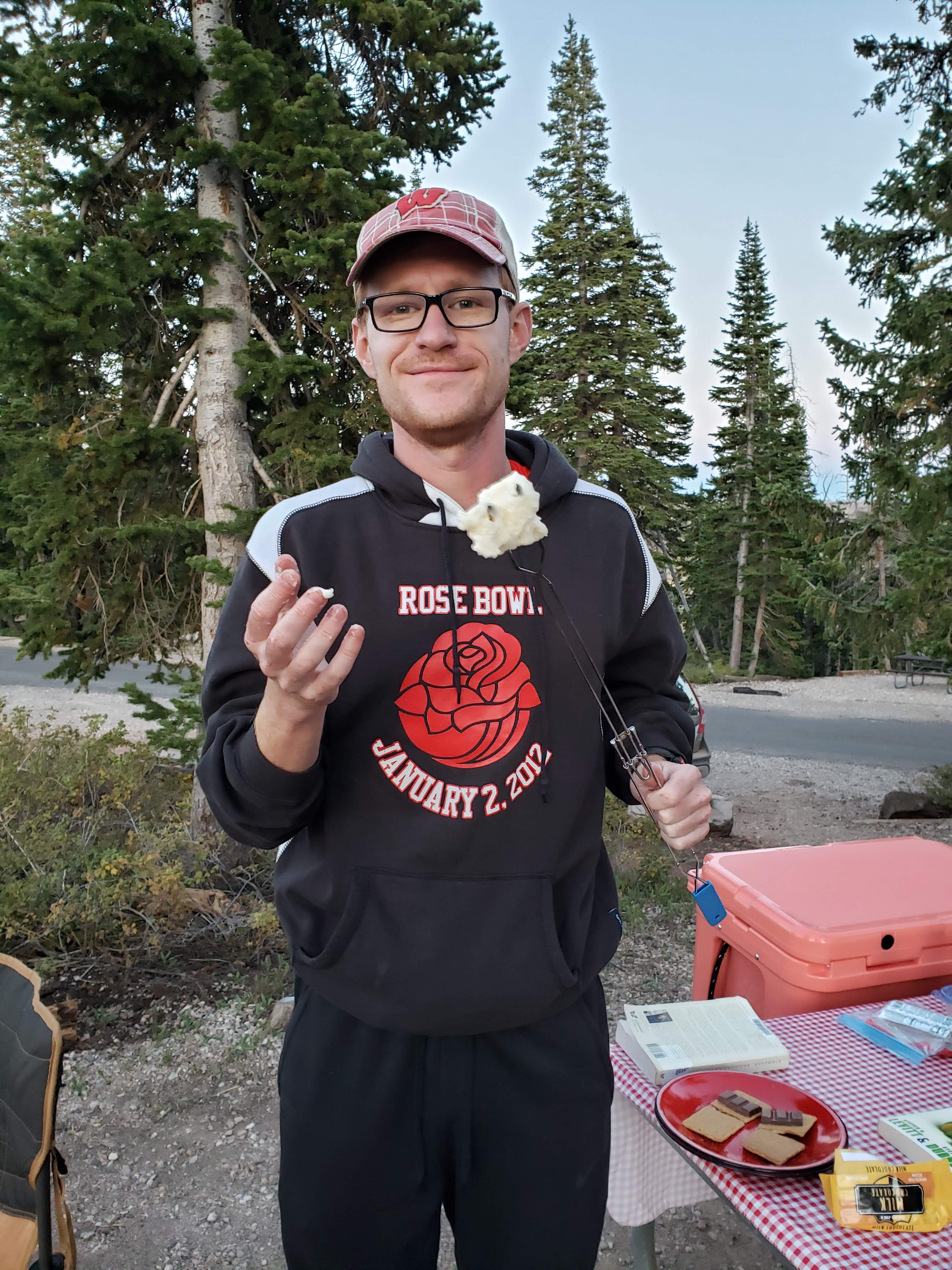
We drove back to the campground and ate snacks and drank beer. Leah read about Bryce Canyon National Park and I worked on my journal. I started a fire for dinner so we could roast veggie dogs. We also made s’mores and I attempted to roast a clump of marshmallows that had gotten soggy at the bottom of our cooler.
No showers tonight—don’t want to overdo it. We got ready for bed. We’d be heading to Bryce Canyon National Park in the morning. In the middle of the night I heard more coyotes howling and yipping. I also heard a disturbing screeching and screaming sound coming from off in the wilderness. I have no idea what was making the noise—maybe an elk or mountain lion? I took some comfort in knowing that we were in a campground with dozens of other people. But nonetheless it was still very creepy.
Total miles hiked: 9.5 Weather: Highs in the 60s and sunny, lows in the 40s
Final thoughts on Part 2
It’s amazing how a dam can turn a desert into a recreational paradise. Driving through Lake Powell felt very odd. I don’t really like golf courses in general, but to see them in the southwest desert just isn’t right. The scenery of northern Arizona, though very hot and dry, was still beautiful.
Zion National Park is a crowded place. It’s amazing and totally worth going to, but there are a lot of people. Plan ahead and start the most popular hikes early in the morning. My “if/when I go back” list for Zion NP is to do the chain section of Angels Landing (which now requires a permit—probably a good idea), make it all the way to Big Springs on The Narrows hike, hike to Observation Point (which is still closed), hike to Kolob Arch, and to explore some of the more remote areas of the park like Wildcat Canyon. There are a lot of opportunities to get off the beaten path at Zion NP and it’d be cool to focus a little more on those areas in the future.
Cedar Breaks National Monument is a hidden gem. The park itself only has about one day’s worth of must-see sites and activities, but the surrounding area has more to offer. My “if/when I go back” list for Cedar Breaks NM is probably just the Rattlesnake Trail—the only trail we didn’t hike—but I don’t think it’s a top priority.
Brian Head is a great place to drive through if you’re named Brian.
We never really felt 100% sure in our car’s ability to start (and not leak oil). Another reason to rent a car for trips with lots of driving is that you typically get a newer model with less mechanical issues. Plus, you don’t feel bad about driving it on bumpy gravel and forest service roads.
I felt like the nights and days spent at each park during this section (part 2) of the trip were spot on. We had just enough time to see a good chunk of Zion National Park while also maneuvering our way to Cedar Breaks National Monument to break up the drive to Bryce Canyon National Park—and to take a shower.